Berrington Heath

Downs, Moorland in Worcestershire Malvern Hills

England

Berrington Heath

Fountain Inn, Oldwood
Fountain Inn, Oldwood Credit: Chris Whippet

Berrington Heath is a picturesque area located in Worcestershire, England. Situated amidst the beautiful Downs and Moorland, it offers visitors a unique and diverse natural landscape. Covering an expansive area, Berrington Heath boasts a variety of habitats, including grasslands, heathlands, wetlands, and woodlands.

The grasslands of Berrington Heath are a sight to behold, with vast open spaces and rolling hills. These areas are home to a wide range of plant species, including wildflowers such as orchids, cowslips, and buttercups, adding vibrant colors to the landscape during the summer months. The heathlands present a different scenery, characterized by low-growing shrubs, heathers, and gorse, creating a striking contrast against the greenery of the surrounding areas.

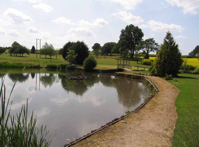
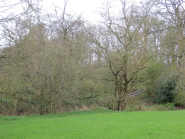
Wandering through Berrington Heath, visitors can explore the wetlands, which are teeming with various species of birds and aquatic life. The ponds and marshes provide a habitat for waterfowl, such as ducks and geese, while dragonflies and damselflies flit about in the warm summer air. Woodlands also dot the landscape, offering a peaceful retreat for nature enthusiasts. These woodlands are home to an array of wildlife, including deer, foxes, and squirrels.

Berrington Heath is a haven for outdoor activities, including walking, cycling, and birdwatching. There are well-maintained trails and paths throughout the area, allowing visitors to explore its natural wonders at their own pace. The stunning views and tranquil atmosphere make it the perfect destination for those seeking a break from the hustle and bustle of city life.

Overall, Berrington Heath in Worcestershire provides a diverse and captivating natural environment, offering visitors a chance to immerse themselves in the beauty of the Downs, Moorland, and surrounding habitats.

If you have any feedback on the listing, please let us know in the comments section below.

Berrington Heath Images

Images are sourced within 2km of 52.288972/-2.6188005 or Grid Reference SO5765. Thanks to Geograph Open Source API. All images are credited.

Fountain Inn, Oldwood
Millennium Tree The sculpture stands in the corner of Oldwood Common.
Millennium Tree
The sculpture stands in the corner of Oldwood Common.
Millennium Tree Tree sculpture in the corner of the common.
Millennium Tree
Tree sculpture in the corner of the common.
St Michael's Church The soaring and dramatic Victorian church at the end of Oldwood Common, built in 1855-6 by gentleman architect Henry Woodyer for Sir Frederick Gore Ouseley. It was intended to be college chapel to an establishment dedicated to the preservation and development of traditional sacred music, a function it performed for 130 years. It finally closed in 1985 and is now a school.
St Michael's Church
The soaring and dramatic Victorian church at the end of Oldwood Common, built in 1855-6 by gentleman architect Henry Woodyer for Sir Frederick Gore Ouseley. It was intended to be college chapel to an establishment dedicated to the preservation and development of traditional sacred music, a function it performed for 130 years. It finally closed in 1985 and is now a school.
St Michael's church A dramatic mid-Victorian collegiate church of 1855-6 set in the Worcestershire countryside near Tenbury Wells. Architect was Henry Woodyer, who was also responsible for the adjoining college.
St Michael's church
A dramatic mid-Victorian collegiate church of 1855-6 set in the Worcestershire countryside near Tenbury Wells. Architect was Henry Woodyer, who was also responsible for the adjoining college.
St Michael's College The Rev Sir Frederick Gore Ouseley's choral music college of the 1850s, a fine work of Old Etonian gentleman architect Henry Woodyer. With the adjoining church, a classic mid-Victorian ensemble which had Betjeman waxing lyrical. The college closed in 1985 and is now a school, part of the King's Group.
St Michael's College
The Rev Sir Frederick Gore Ouseley's choral music college of the 1850s, a fine work of Old Etonian gentleman architect Henry Woodyer. With the adjoining church, a classic mid-Victorian ensemble which had Betjeman waxing lyrical. The college closed in 1985 and is now a school, part of the King's Group.
St Michael's church Henry Woodyer's dramatic masterpiece near Tenbury Wells, dating from 1856.
St Michael's church
Henry Woodyer's dramatic masterpiece near Tenbury Wells, dating from 1856.
Cloister Lawn, St Michael's College Henry Woodyer's masterwork of the mid 1850s.
Cloister Lawn, St Michael's College
Henry Woodyer's masterwork of the mid 1850s.
Cadmore Lake
Cadmore Lake
Cadmore Lake and Golf Course
Cadmore Lodge Hotel and Country Club
Church of St Michael & All Angels, St Michaels
Field, Wilden Taken while opening the gate on the road.
Field, Wilden
Taken while opening the gate on the road.
Oast House at Berrington Court -
Oast House at Berrington Court
-
Lane past Berrington Court
Oaks near Tenbury Colourful as ever when coming into leaf.  Beyond there is a steep drop to the Teme.
Oaks near Tenbury
Colourful as ever when coming into leaf. Beyond there is a steep drop to the Teme.
Bednal Bridge The Berrington road crosses the Bednal Brook.
Bednal Bridge
The Berrington road crosses the Bednal Brook.
Show me another place!

Berrington Heath is located at Grid Ref: SO5765 (Lat: 52.288972, Lng: -2.6188005)

Administrative County: Worcestershire

District: Malvern Hills

Police Authority: West Mercia

What 3 Words

///bicker.hairpin.dorms. Near Tenbury Wells, Worcestershire

Nearby Locations

Berrington Heath

Related Wikis

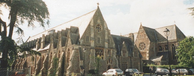
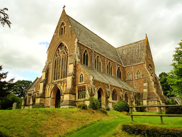
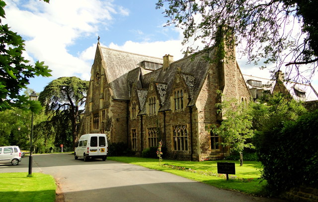
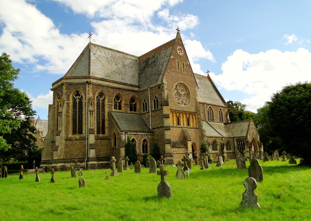
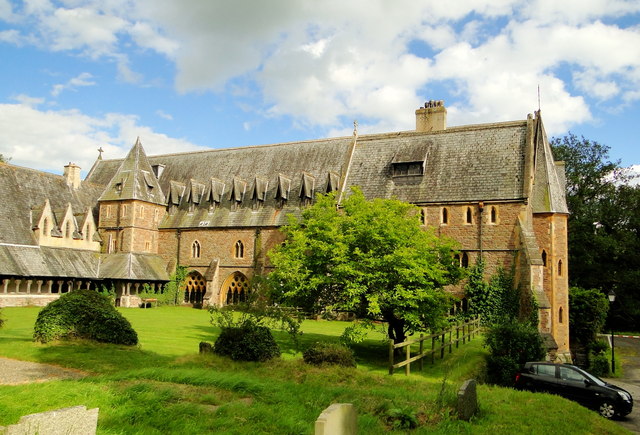
St Michael's College, Tenbury

St. Michael's College (the College of St. Michael and All Angels) was founded by Sir Frederick Ouseley in 1856 as a boys Preparatory School. Ouseley created...

Berrington Green

Berrington Green is a village in Worcestershire, England near Tenbury Wells. == External links == Media related to Berrington Green at Wikimedia Commons

Oldwood, Worcestershire

Oldwood is a hamlet in the English county of Worcestershire. Oldwood is located on the A4112 road a mile southwest of the market town of Tenbury Wells...

Berrington, Worcestershire

Berrington is a village in Worcestershire, England. Berrington was in the upper division of Doddingtree hundred. == References ==

Nearby Amenities

Located within 500m of 52.288972,-2.6188005
Bus Stop
St. Michaels- College
Bus: yes
Naptan AtcoCode: 2000G112500
Naptan Bearing: NW
Naptan BusStopType: CUS
Naptan CommonName: St. Michaels- College
Naptan Indicator: Adj
Naptan Landmark: St. Michaels College
Naptan NaptanCode: wocdgjmj
Naptan Street: College Walk
Naptan Verified: no
Public Transport: platform
Source: naptan_import
Lat/Long: 52.2882373/-2.6127534
Post Box
Post Box Type: lamp
Ref: WR15 119
Royal Cypher: EIIR
Royal Cypher Wikidata: Q33102113
Lat/Long: 52.2889845/-2.6130569
St Michael's
Place: hamlet
Lat/Long: 52.2896606/-2.6133096
Power: pole
Source: bing
Lat/Long: 52.2910378/-2.6151001
St Michael's
Power: pole
Source: bing
Transformer: distribution
Voltage Primary: 11000
Lat/Long: 52.2903668/-2.6146093
Power: pole
Source: bing
Lat/Long: 52.2879649/-2.6152557
St Michael's College
Power: pole
Source: bing
Transformer: distribution
Voltage Primary: 11000
Lat/Long: 52.2882012/-2.6150411
Power: pole
Source: bing
Lat/Long: 52.2885195/-2.6147461
Power: pole
Source: bing
Lat/Long: 52.2888509/-2.6144215
Power: pole
Source: bing
Lat/Long: 52.2891692/-2.6141185
Power: pole
Source: bing
Lat/Long: 52.2895055/-2.6138046
Power: pole
Source: bing
Lat/Long: 52.2898303/-2.6141694
Power: pole
Source: bing
Lat/Long: 52.2901437/-2.6145744
Entrance: yes
Lat/Long: 52.2880212/-2.6126607
Bicycle: yes
Foot: yes
Ford: yes
Horse: yes
Mtb Description: unlikely to be ridable in any conditions
Smoothness: very_horrible
Surface: mud
Lat/Long: 52.2895575/-2.6245416
Barrier: cattle_grid
Lat/Long: 52.2898542/-2.6120939
Booth: K6
Colour: red
Disused Amenity: telephone
Man Made: telephone_box
Tourism: information
Lat/Long: 52.2895554/-2.6145155
Information: board
Tourism: information
Lat/Long: 52.2901252/-2.615079
The data included in this document is from www.openstreetmap.org. The data is made available under ODbL.

Have you been to Berrington Heath?

Leave your review of Berrington Heath below (or comments, questions and feedback).