Isla Park

Downs, Moorland in Westmorland Eden

England

Isla Park

Cattle, Riddingleys Top
Cattle, Riddingleys Top Credit: Ian Taylor

Isla Park is a picturesque natural reserve located in the county of Westmorland, England. Nestled amidst the scenic Downs and Moorland, this park offers visitors a unique opportunity to immerse themselves in the beauty of nature. With an area spanning over several acres, Isla Park is a haven for nature lovers, hikers, and outdoor enthusiasts.

The park boasts diverse flora and fauna, making it a popular destination for wildlife enthusiasts. Visitors can expect to encounter a wide range of bird species, including buzzards, kestrels, and pheasants, as well as various small mammals and insects. The park's diverse ecosystem has been carefully preserved, creating a harmonious environment for both wildlife and visitors alike.

For those seeking a more active experience, Isla Park offers numerous hiking trails that wind through the rolling hills and valleys. These trails cater to all levels of fitness and offer breathtaking views of the surrounding landscape. The park also features picnic areas, where visitors can relax and enjoy a meal amidst the tranquility of nature.

Isla Park is not only a haven for wildlife and outdoor enthusiasts but also a place of historical significance. The park is home to several ancient archaeological sites, including burial mounds and stone circles, which provide a glimpse into the area's rich cultural heritage.

Overall, Isla Park in Westmorland offers visitors an opportunity to escape the hustle and bustle of city life and reconnect with nature. Whether it's exploring the diverse flora and fauna, hiking through picturesque trails, or delving into the region's history, Isla Park is a must-visit destination for anyone seeking a serene and immersive natural experience.

If you have any feedback on the listing, please let us know in the comments section below.
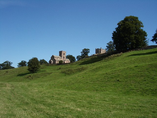
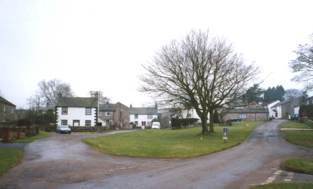
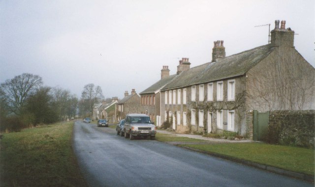
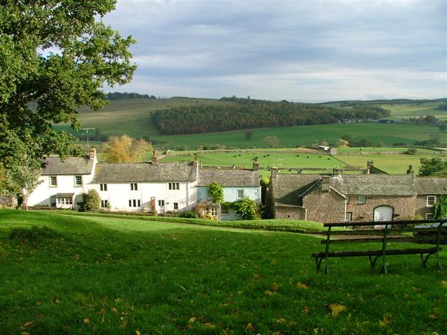
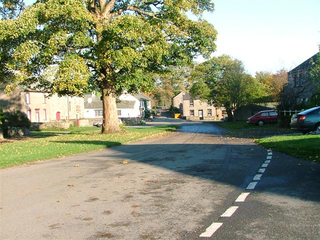
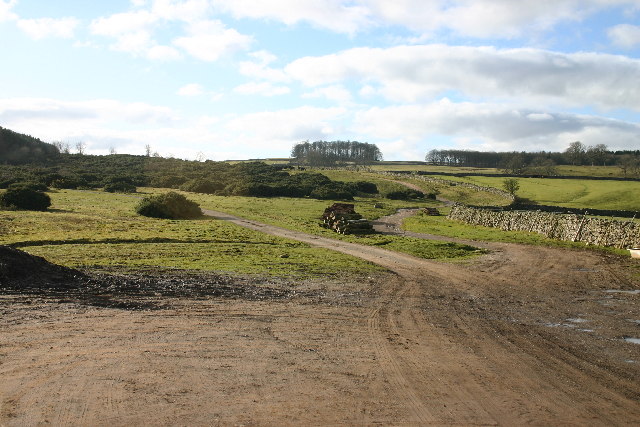
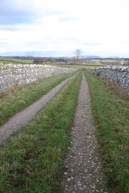
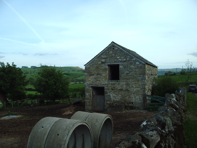
Isla Park Images

Images are sourced within 2km of 54.598761/-2.7544879 or Grid Reference NY5122. Thanks to Geograph Open Source API. All images are credited.

Cattle, Riddingleys Top
Finger post, Riddingleys Top
Fell ponies, Riddingleys Top
Lowther Park Shot when taking a lovely walk along the side of the river Lowther
Lowther Park
Shot when taking a lovely walk along the side of the river Lowther
Upper Green, Askham Askham is noted for its large expanse of greens.  They are divided by the road from Penrith to Bampton, and the upper green is smaller and probably less well-known than the lower green, which is by the road leading to the church and Lowther.
Upper Green, Askham
Askham is noted for its large expanse of greens. They are divided by the road from Penrith to Bampton, and the upper green is smaller and probably less well-known than the lower green, which is by the road leading to the church and Lowther.
Newtown, Lowther These estate houses were built next to the Home Farm to replace the old village that was demolished in 1685.  However the 17C houses had hipped roofs, so the terraces in this picture are probably later (19C?).
Newtown, Lowther
These estate houses were built next to the Home Farm to replace the old village that was demolished in 1685. However the 17C houses had hipped roofs, so the terraces in this picture are probably later (19C?).
Heltonhead Looking down the unclassified road to Helton.
Heltonhead
Looking down the unclassified road to Helton.
Helton Village Green
Askham View East From Upper Green
Lowther Castle, Cumbria The most significant feature in this grid square has been the family seat of the Earls of Lonsdale from time immemorial. After the death of the fifth Earl the Castle was abandoned, the interior was dismantled and only the walls left standing as a memorial to past glories.
<span class="nowrap"><a title="http://www.visitcumbria.com/pen/lowthcas.htm" rel="nofollow ugc noopener" href="http://www.visitcumbria.com/pen/lowthcas.htm">Link</a><img style="margin-left:2px;" alt="External link" title="External link - shift click to open in new window" src="https://s1.geograph.org.uk/img/external.png" width="10" height="10"/></span>
Lowther Castle, Cumbria
The most significant feature in this grid square has been the family seat of the Earls of Lonsdale from time immemorial. After the death of the fifth Earl the Castle was abandoned, the interior was dismantled and only the walls left standing as a memorial to past glories. LinkExternal link
Path Meeting above Askham The bridleway to the right leads onto Askham Fell.
Path Meeting above Askham
The bridleway to the right leads onto Askham Fell.
Mini Reservoir Shown as just a small square on the OS map, this is clearly constructed and has an outflow but none in - being on limestone it is probably a modified rising.
Mini Reservoir
Shown as just a small square on the OS map, this is clearly constructed and has an outflow but none in - being on limestone it is probably a modified rising.
Farmland Between Plantations Grazed by sheep. There are gamebird rearing pens in the woods to the right.
Farmland Between Plantations
Grazed by sheep. There are gamebird rearing pens in the woods to the right.
Mirebank Plantation On the open, wild fells above Askham, this straight-sided plantation looks very out-of-place.
Mirebank Plantation
On the open, wild fells above Askham, this straight-sided plantation looks very out-of-place.
Bridleway Looking over the Eden Valley towards the Pennines and Cross Fell
Bridleway
Looking over the Eden Valley towards the Pennines and Cross Fell
Ponies on Rough Land The grazing here is too poor to support ponies and horses, hence the hay feed. The area is criss-crossed with bridleways, and riding is a popular pastime and industry here.
Ponies on Rough Land
The grazing here is too poor to support ponies and horses, hence the hay feed. The area is criss-crossed with bridleways, and riding is a popular pastime and industry here.
Parkland Part of the Lowther Estate
Parkland
Part of the Lowther Estate
Out Barn This small barn is being used as stables for a pair of quiet gentle horses.
Out Barn
This small barn is being used as stables for a pair of quiet gentle horses.
Show me another place!

Isla Park is located at Grid Ref: NY5122 (Lat: 54.598761, Lng: -2.7544879)

Administrative County: Cumbria

District: Eden

Police Authority: Cumbria

What 3 Words

///succeed.parade.flattens. Near Penrith, Cumbria

Related Wikis

Askham, Cumbria

Askham is a village and civil parish in the Eden district of Cumbria, England. It is in the historic county of Westmorland. According to the 2001 census...

Helton, Cumbria

Helton is a village in the Eden district, in the English county of Cumbria. It is about a mile south of the village of Askham. Circa 1870, it had a population...
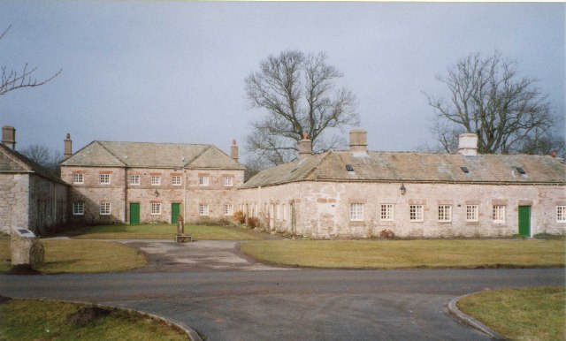
Askham Hall

Askham Hall is a country house near Askham in Cumbria. It is a Grade I listed building. == History == A peel tower was built on the site during the 14th...
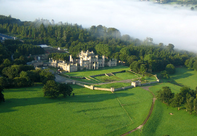
Lowther Castle

Lowther Castle is a country house in the historic county of Westmorland, which now under the current unitary authority of Westmorland and Furness, in the...

Lowther Castle Stead

Lowther Castle Stead is a medieval site in Cumbria, possibly a ringwork castle. Lancaster University Archaeology Unit carried out a survey of the earthworks...

Lowther, Cumbria

Lowther is a civil parish in Westmorland and Furness, Cumbria. Within the parish are the settlements of Lowther Village, Newtown or Lowther Newtown, Hackthorpe...

Whale, Cumbria

Whale is a hamlet in the Westmorland and Furness unitary authority area, Cumbria, England. Historically in Westmorland, it is about a mile south of the...
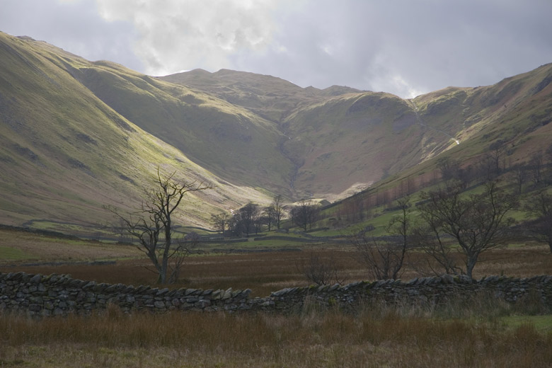
Boredale Hause

Boredale Hause is a mountain pass between Place Fell and Angletarn Pikes in the east of the English Lake District. It links the Patterdale and Boredale...

Nearby Amenities

Located within 500m of 54.598761,-2.7544879
Gillriggs
Place: locality
Lat/Long: 54.5987395/-2.7477781
Keldron Spring
Natural: spring
Lat/Long: 54.5955955/-2.7505585
Natural: spring
Lat/Long: 54.5964528/-2.7525669
Barrier: stile
Material: stone
Source: survey;gps
Stile: stepover
Lat/Long: 54.6010738/-2.7569972
Barrier: stile
Material: stone
Source: survey;gps
Stile: stepover
Lat/Long: 54.6024765/-2.7572896
Barrier: stile
Material: stone
Source: survey;gps
Stile: squeezer
Lat/Long: 54.5983934/-2.7551539
Barrier: cattle_grid
Lat/Long: 54.5997434/-2.7619824
Power: pole
Lat/Long: 54.6019676/-2.7587358
Power: pole
Lat/Long: 54.6007732/-2.7596303
Power: pole
Lat/Long: 54.5996163/-2.7604064
Power: pole
Lat/Long: 54.5988079/-2.7604936
Power: pole
Lat/Long: 54.5976549/-2.7604869
Power: pole
Lat/Long: 54.5966482/-2.7604757
The data included in this document is from www.openstreetmap.org. The data is made available under ODbL.

Have you been to Isla Park?

Leave your review of Isla Park below (or comments, questions and feedback).