Andrew's Loom

Lake, Pool, Pond, Freshwater Marsh in Westmorland Eden

England

Andrew's Loom

Upper Green, Askham Askham is noted for its large expanse of greens.  They are divided by the road from Penrith to Bampton, and the upper green is smaller and probably less well-known than the lower green, which is by the road leading to the church and Lowther.
Upper Green, Askham Credit: Humphrey Bolton

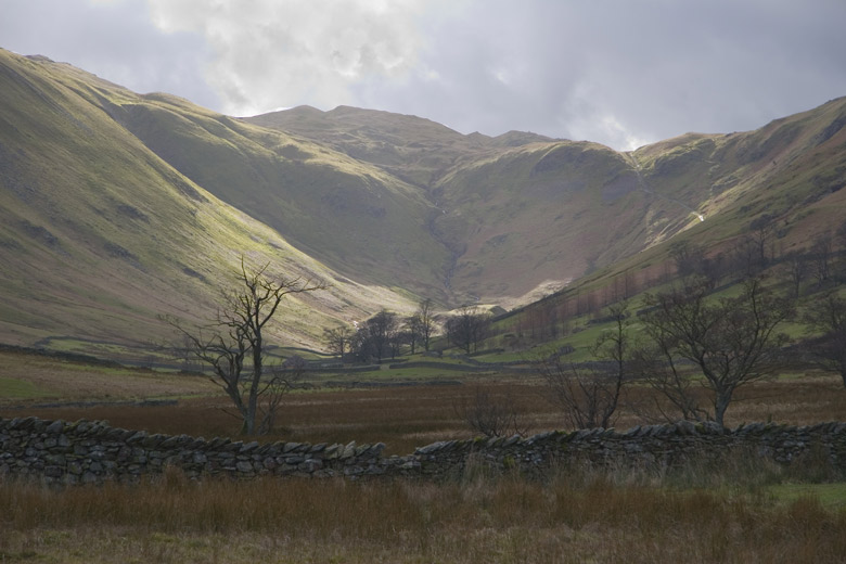
Andrew's Loom, located in Westmorland, is a scenic natural attraction that encompasses a variety of freshwater ecosystems, including a lake, pool, pond, and freshwater marsh. Situated amidst the lush countryside, this stunning landscape offers visitors a serene and picturesque environment to explore.

The centerpiece of Andrew's Loom is its expansive lake, which stretches across a considerable area. The lake is known for its crystal-clear waters, reflecting the surrounding greenery and creating a mesmerizing sight. Its calm surface serves as a habitat for various aquatic species, including fish, turtles, and waterfowl.

Adjacent to the lake is a pool, which is slightly smaller in size but equally enchanting. The pool provides a tranquil setting for swimming or simply enjoying the peaceful ambiance. Its shallow depth makes it suitable for families with young children, offering a safe and enjoyable swimming experience.

A smaller pond can be found within the vicinity of Andrew's Loom, hosting a diverse range of plant and animal life. This pond is a haven for amphibians, such as frogs and newts, which can be observed during the warmer months. Additionally, a variety of water plants thrive here, creating a vibrant and colorful display.

Lastly, the freshwater marsh in Andrew's Loom is a unique habitat that supports an array of marshland species. This marshland is characterized by its wet, marshy conditions and is home to numerous species of birds, insects, and small mammals. Visitors can witness the marsh's rich biodiversity, observing birds wading in the shallow waters or catching glimpses of smaller creatures hiding amidst the reeds.

Overall, Andrew's Loom offers nature enthusiasts and wildlife lovers an opportunity to immerse themselves in the beauty and tranquility of diverse freshwater ecosystems.

If you have any feedback on the listing, please let us know in the comments section below.

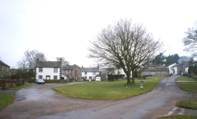
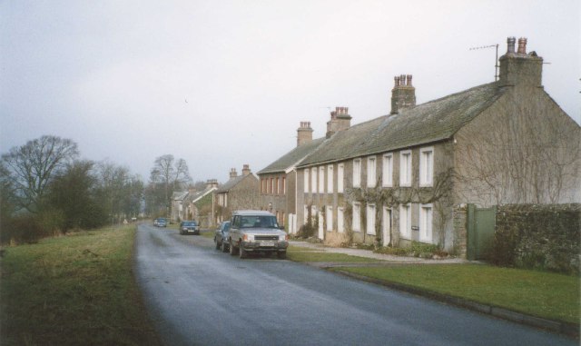
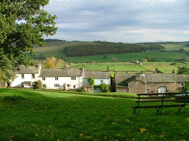
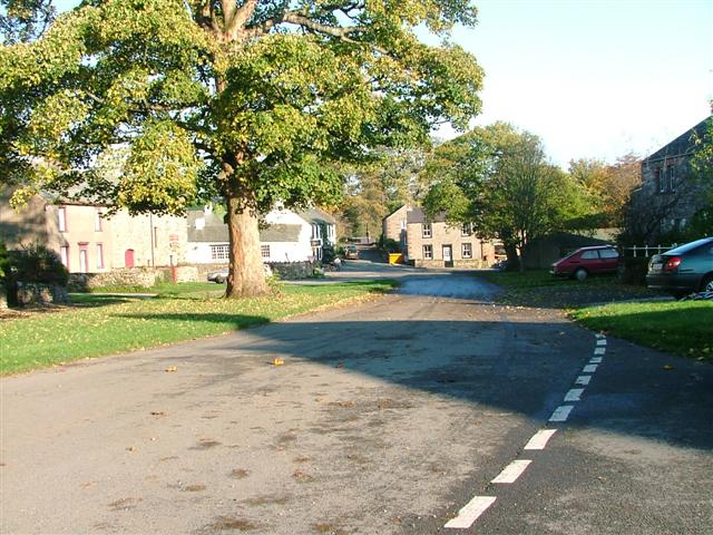
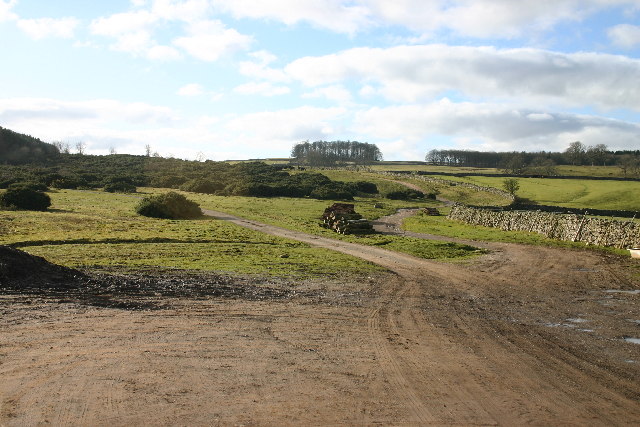
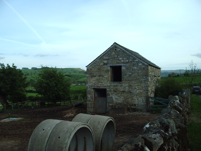
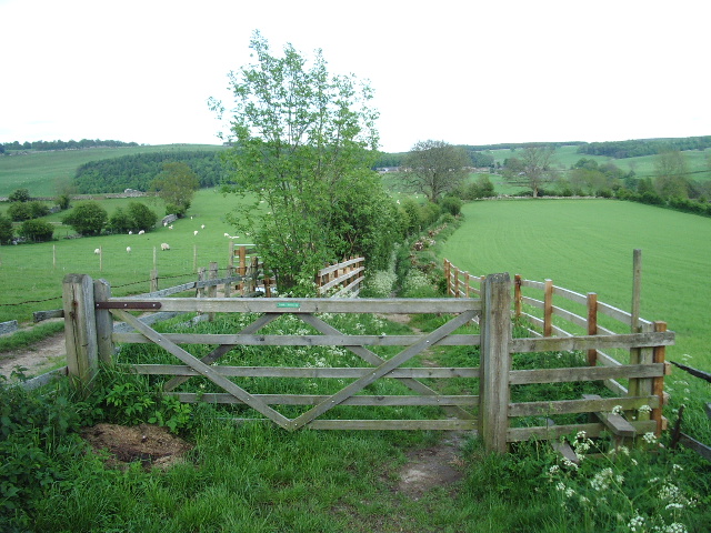
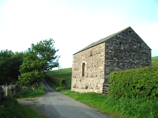
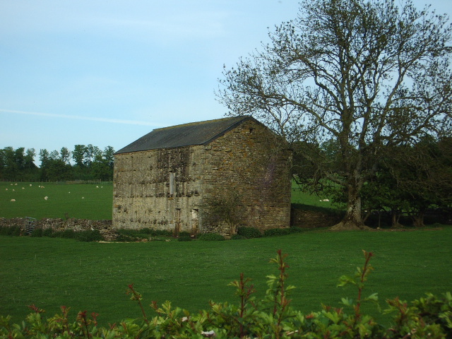
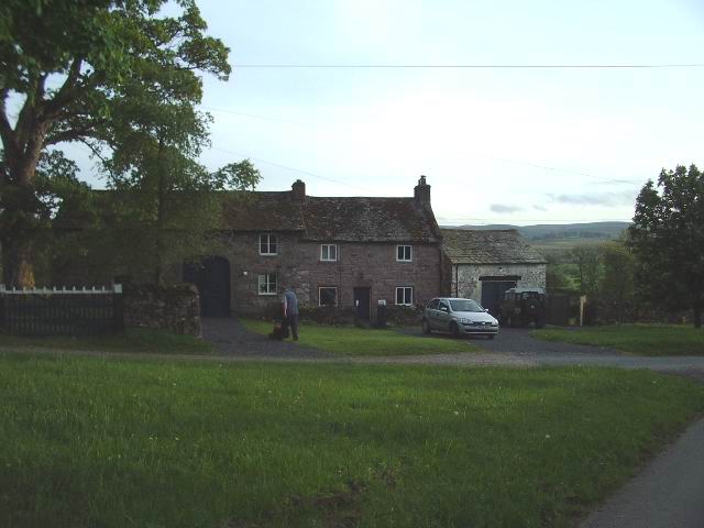
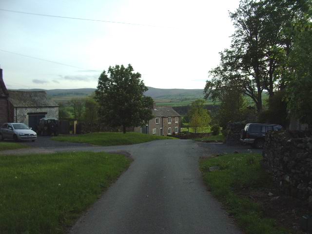
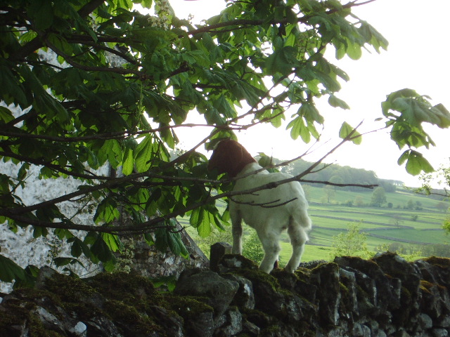
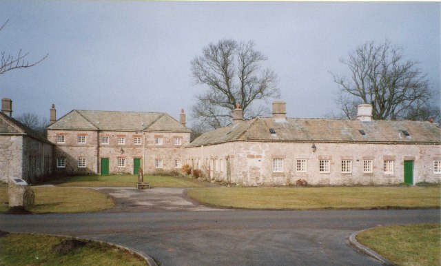
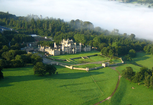
Andrew's Loom Images

Images are sourced within 2km of 54.592532/-2.7458144 or Grid Reference NY5122. Thanks to Geograph Open Source API. All images are credited.

Upper Green, Askham Askham is noted for its large expanse of greens.  They are divided by the road from Penrith to Bampton, and the upper green is smaller and probably less well-known than the lower green, which is by the road leading to the church and Lowther.
Upper Green, Askham
Askham is noted for its large expanse of greens. They are divided by the road from Penrith to Bampton, and the upper green is smaller and probably less well-known than the lower green, which is by the road leading to the church and Lowther.
Newtown, Lowther These estate houses were built next to the Home Farm to replace the old village that was demolished in 1685.  However the 17C houses had hipped roofs, so the terraces in this picture are probably later (19C?).
Newtown, Lowther
These estate houses were built next to the Home Farm to replace the old village that was demolished in 1685. However the 17C houses had hipped roofs, so the terraces in this picture are probably later (19C?).
Heltonhead Looking down the unclassified road to Helton.
Heltonhead
Looking down the unclassified road to Helton.
Helton Village Green
Askham View East From Upper Green
Lowther Castle, Cumbria The most significant feature in this grid square has been the family seat of the Earls of Lonsdale from time immemorial. After the death of the fifth Earl the Castle was abandoned, the interior was dismantled and only the walls left standing as a memorial to past glories.
<span class="nowrap"><a title="http://www.visitcumbria.com/pen/lowthcas.htm" rel="nofollow ugc noopener" href="http://www.visitcumbria.com/pen/lowthcas.htm">Link</a><img style="margin-left:2px;" alt="External link" title="External link - shift click to open in new window" src="https://s1.geograph.org.uk/img/external.png" width="10" height="10"/></span>
Lowther Castle, Cumbria
The most significant feature in this grid square has been the family seat of the Earls of Lonsdale from time immemorial. After the death of the fifth Earl the Castle was abandoned, the interior was dismantled and only the walls left standing as a memorial to past glories. LinkExternal link
Path Meeting above Askham The bridleway to the right leads onto Askham Fell.
Path Meeting above Askham
The bridleway to the right leads onto Askham Fell.
Mini Reservoir Shown as just a small square on the OS map, this is clearly constructed and has an outflow but none in - being on limestone it is probably a modified rising.
Mini Reservoir
Shown as just a small square on the OS map, this is clearly constructed and has an outflow but none in - being on limestone it is probably a modified rising.
Farmland Between Plantations Grazed by sheep. There are gamebird rearing pens in the woods to the right.
Farmland Between Plantations
Grazed by sheep. There are gamebird rearing pens in the woods to the right.
Mirebank Plantation On the open, wild fells above Askham, this straight-sided plantation looks very out-of-place.
Mirebank Plantation
On the open, wild fells above Askham, this straight-sided plantation looks very out-of-place.
Ponies on Rough Land The grazing here is too poor to support ponies and horses, hence the hay feed. The area is criss-crossed with bridleways, and riding is a popular pastime and industry here.
Ponies on Rough Land
The grazing here is too poor to support ponies and horses, hence the hay feed. The area is criss-crossed with bridleways, and riding is a popular pastime and industry here.
Out Barn This small barn is being used as stables for a pair of quiet gentle horses.
Out Barn
This small barn is being used as stables for a pair of quiet gentle horses.
Bridlepath Taken at the Helton end, the photo shows the bridlepath looking towards to hamlet of Whale
Bridlepath
Taken at the Helton end, the photo shows the bridlepath looking towards to hamlet of Whale
Barn The "C" class road runs north to Askham 4kms away, the woodland to the left is the southern point of Nelly's Wood.
Barn
The "C" class road runs north to Askham 4kms away, the woodland to the left is the southern point of Nelly's Wood.
Barn Barn .5km south of the hamlet of Whale
Barn
Barn .5km south of the hamlet of Whale
Whale Small hamlet on the east side of the Bampton Grange Askham road.
Whale
Small hamlet on the east side of the Bampton Grange Askham road.
Whale Looking west down the road from the Bampton Grange Askham road
Whale
Looking west down the road from the Bampton Grange Askham road
Goat This young goat was enjoying a nice meal of young tender horse chestnut leaves before I disturbed it.
Goat
This young goat was enjoying a nice meal of young tender horse chestnut leaves before I disturbed it.
Show me another place!

Andrew's Loom is located at Grid Ref: NY5122 (Lat: 54.592532, Lng: -2.7458144)

Administrative County: Cumbria

District: Eden

Police Authority: Cumbria

What 3 Words

///starlight.cloak.baths. Near Shap, Cumbria

Related Wikis

Nearby Amenities

Located within 500m of 54.592532,-2.7458144
Keldron Spring
Natural: spring
Lat/Long: 54.5955955/-2.7505585
The data included in this document is from www.openstreetmap.org. The data is made available under ODbL.

Have you been to Andrew's Loom?

Leave your review of Andrew's Loom below (or comments, questions and feedback).