Scalebarrow Tarn

Lake, Pool, Pond, Freshwater Marsh in Westmorland Eden

England

Scalebarrow Tarn

Burnbanks village The telephone box contains a phone...something of a rarity these days
Burnbanks village Credit: David Brown

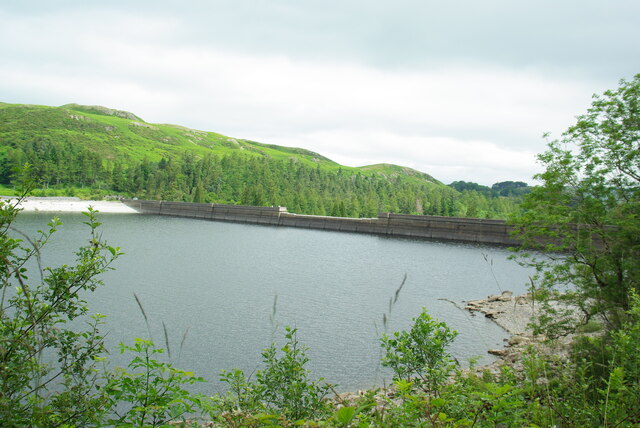
Scalebarrow Tarn is a picturesque freshwater lake located in the county of Westmorland, in the northwestern part of England. Nestled amidst the stunning landscapes of the Lake District National Park, it is a popular destination for nature enthusiasts and outdoor lovers.

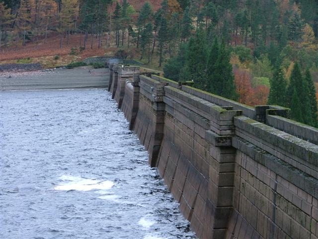
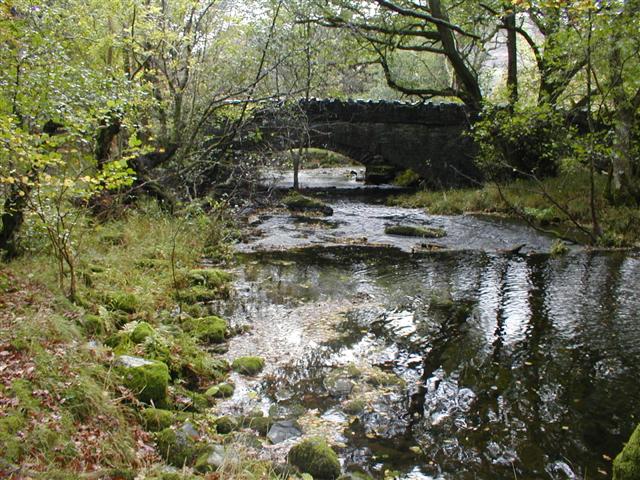
Covering an area of approximately 10 hectares, Scalebarrow Tarn is a small yet enchanting body of water. Surrounded by rolling hills and dense forests, the tarn offers a tranquil and serene atmosphere for visitors. Its crystal-clear waters are fed by natural springs and streams, ensuring a constant flow of fresh water.

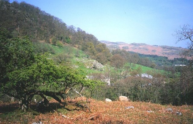
The tarn is home to a diverse range of flora and fauna, making it a haven for wildlife. Various species of waterfowl can be spotted gliding across the surface of the lake, while the surrounding marshes provide a habitat for a variety of wetland plants and animals. The presence of reed beds and water lilies adds to the natural beauty of the tarn.

For those seeking outdoor activities, Scalebarrow Tarn offers opportunities for fishing and boating. Anglers are drawn to the lake for its abundance of brown trout, which thrive in its cool, oxygen-rich waters. Boating enthusiasts can explore the calm waters of the tarn, enjoying the serene surroundings and breathtaking views.

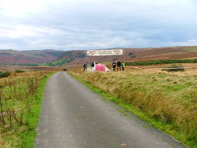
Access to Scalebarrow Tarn is convenient, with a parking area and footpaths available for visitors. The tarn is also a popular starting point for hikes and walks, as it is situated amidst a network of scenic trails that wind through the Lake District National Park.

Overall, Scalebarrow Tarn is a hidden gem in Westmorland, offering a tranquil retreat and an opportunity to immerse oneself in the natural beauty of the Lake District.

If you have any feedback on the listing, please let us know in the comments section below.

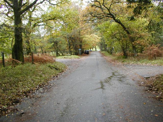
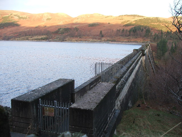
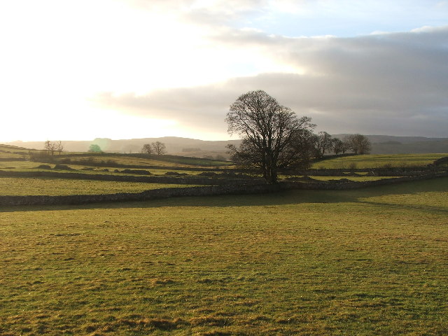
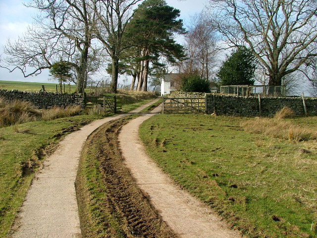
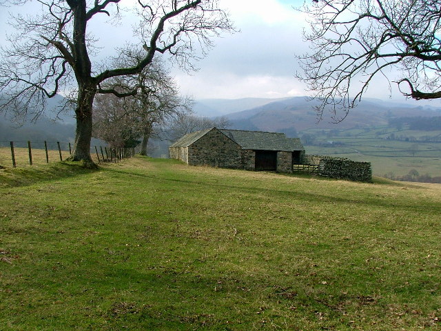
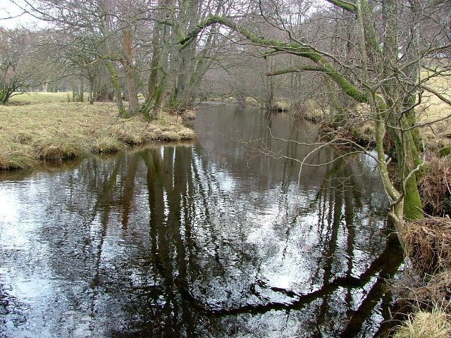
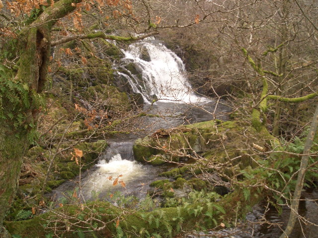
Scalebarrow Tarn Images

Images are sourced within 2km of 54.528992/-2.7447326 or Grid Reference NY5115. Thanks to Geograph Open Source API. All images are credited.

Burnbanks village The telephone box contains a phone...something of a rarity these days
Burnbanks village
The telephone box contains a phone...something of a rarity these days
Haweswater Dam Wall
Haweswater Dam Wall
Southward path on Ralfland Forest A well marked path on the map but rather vague on the ground
Southward path on Ralfland Forest
A well marked path on the map but rather vague on the ground
Above Naddle Farm Scrub woodland on the bridleway over to Swindale.
Above Naddle Farm
Scrub woodland on the bridleway over to Swindale.
Swindale The bridleway from Naddle farm below Bewbarrow Crag
Swindale
The bridleway from Naddle farm below Bewbarrow Crag
Haweswater Dam Built by Manchester Corporation between 1929 and 1941. It raised the surface of Haweswater by 96 feet increasing its capacity to 18,660 million gallons. The dam is of hollow concrete buttress construction which was quite innovative in its day. The method was cheaper and lower maintenance. Any movement of the dam is monitored inside by a giant plumb bob which has only deflected one twentieth of an inch since the dam's construction.
Haweswater Dam
Built by Manchester Corporation between 1929 and 1941. It raised the surface of Haweswater by 96 feet increasing its capacity to 18,660 million gallons. The dam is of hollow concrete buttress construction which was quite innovative in its day. The method was cheaper and lower maintenance. Any movement of the dam is monitored inside by a giant plumb bob which has only deflected one twentieth of an inch since the dam's construction.
Burnbanks A village of concrete houses built for the construction workers of the dam. These are now being renovated for sale to local people.
Burnbanks
A village of concrete houses built for the construction workers of the dam. These are now being renovated for sale to local people.
Naddle Bridge Viewed from upstream only the new one can be seen.
Naddle Bridge
Viewed from upstream only the new one can be seen.
Road to Swindale Looking SSW from the crossroads on Rosgill Moor down into Swindale. The area was used for one of the overnight camps in the 2005 Karrimor International Mountain Marathon.
Road to Swindale
Looking SSW from the crossroads on Rosgill Moor down into Swindale. The area was used for one of the overnight camps in the 2005 Karrimor International Mountain Marathon.
Burnbanks Wood View north along the Haweswater road towards Naddle Bridge. The area is well known for its red squirrels. I saw several but none were prepared to pose.
Burnbanks Wood
View north along the Haweswater road towards Naddle Bridge. The area is well known for its red squirrels. I saw several but none were prepared to pose.
Haweswater Dam.
Haweswater Dam.
Farmland near Walmgate. Slightly SE of Walmgate.
Farmland near Walmgate.
Slightly SE of Walmgate.
Parish Crag Bridge a shapely bridge in a wooded area over the large Swindale Beck
Parish Crag Bridge
a shapely bridge in a wooded area over the large Swindale Beck
Goodcroft I no nothing about the farmhouse other than the name on the Map - Goodcroft
Goodcroft
I no nothing about the farmhouse other than the name on the Map - Goodcroft
The Coast to Coast Path passing Rawhead A farmhouse overlooking the Lowther Valley.
The Coast to Coast Path passing Rawhead
A farmhouse overlooking the Lowther Valley.
Highpark Buildings Looking westward, the Coast to Coast footpath appears to go to the left of the building contrary to the map.
Highpark Buildings
Looking westward, the Coast to Coast footpath appears to go to the left of the building contrary to the map.
Haweswater Beck Looking downstream. As I was going to take this photo I came across an otter on the bank and then in the beck. Unfortunately it can't be seen in this photo (or any other) as it was too quick for me.
Haweswater Beck
Looking downstream. As I was going to take this photo I came across an otter on the bank and then in the beck. Unfortunately it can't be seen in this photo (or any other) as it was too quick for me.
Thornthwaite Force on Haweswater Beck
Thornthwaite Force
on Haweswater Beck
Show me another place!

Scalebarrow Tarn is located at Grid Ref: NY5115 (Lat: 54.528992, Lng: -2.7447326)

Administrative County: Cumbria

District: Eden

Police Authority: Cumbria

What 3 Words

///deodorant.scuba.remodel. Near Shap, Cumbria

Related Wikis

Naddle Horseshoe

The Naddle Horseshoe is a group of summits in the English Lake District, south of Mardale valley, Cumbria. It is the subject of a chapter of Wainwright...

Bomby

Bomby is a village in Cumbria, England. Bomby village consists only of one farm house. The farm is mostly known for its specific potatoes, the Kind Edward...

Swindale Beck

Swindale Beck is a stream in Cumbria, England. It is formed at Swindale Head where Mosedale Beck, from the slopes of Tarn Crag, joins Hobgrumble Beck from...

Bampton Grange

Bampton Grange is a village in Cumbria, England. The Haweswater Beck flows eastward, just north of Firth Woods, and then turns north to join the River...

Nearby Amenities

Located within 500m of 54.528992,-2.7447326
Rosgill Moor
Place: locality
Lat/Long: 54.530829/-2.7377726
Scalebarrow Knott
Ele: 338
Natural: peak
Lat/Long: 54.5308039/-2.7444978
Swainsey Crag
Place: locality
Lat/Long: 54.5262838/-2.7415794
Pipeline: manhole
Lat/Long: 54.5267797/-2.7389092
Waterway: intake
Lat/Long: 54.5252746/-2.7413297
Waterway: sluice_gate
Lat/Long: 54.5252794/-2.7413526
Waterway: intake
Lat/Long: 54.5264185/-2.7399789
Waterway: sluice_gate
Lat/Long: 54.5264214/-2.7399713
Ford: yes
Lat/Long: 54.5255433/-2.7446713
Ford: yes
Lat/Long: 54.5281651/-2.7454255
Ford: yes
Lat/Long: 54.5255708/-2.7449993
Ford: yes
Lat/Long: 54.5312218/-2.7506047
Man Made: cairn
Lat/Long: 54.5308641/-2.7444876
The data included in this document is from www.openstreetmap.org. The data is made available under ODbL.

Have you been to Scalebarrow Tarn?

Leave your review of Scalebarrow Tarn below (or comments, questions and feedback).