Helton

Settlement in Westmorland Eden

England

Helton

Cattle, Riddingleys Top
Cattle, Riddingleys Top Credit: Ian Taylor

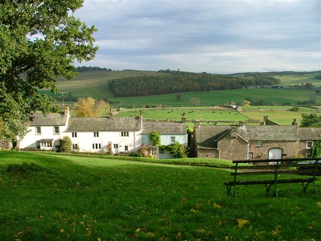
Helton is a quaint village situated in the district of Eden, Cumbria, in the northwest of England. Nestled in the beautiful Westmorland countryside, it is located about 8 miles southeast of Penrith and is surrounded by rolling hills and stunning landscapes.

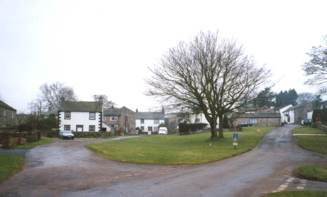
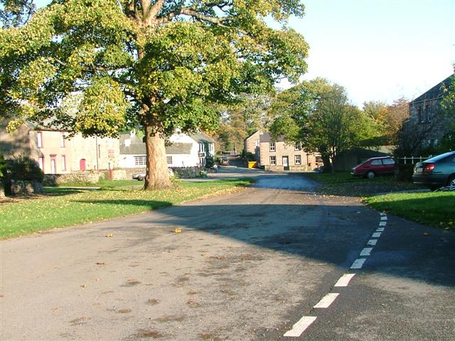
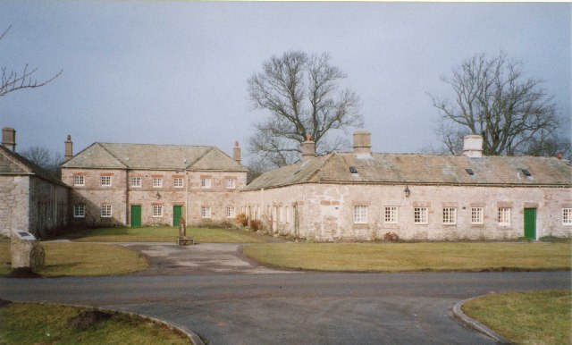
With a population of around 200 residents, Helton offers a peaceful and idyllic setting. The village is known for its charming stone cottages, many of which date back to the 17th century, giving it a timeless appeal. The village church, St. James, is a prominent feature, showcasing remarkable architecture and historical significance.

Despite its small size, Helton is a vibrant community with a strong sense of local pride. The village has a close-knit community spirit, and residents often come together for various events and activities. The annual Helton Heritage Day is a particular highlight, where villagers celebrate the rich history and heritage of the area.

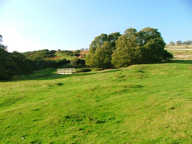
For nature enthusiasts, Helton offers ample opportunities for outdoor activities. The village is surrounded by picturesque walking trails, including the popular Lowther Castle and Gardens, which is just a short distance away. The nearby River Lowther also provides a tranquil spot for fishing and peaceful walks along its banks.

Although small in size, Helton is a hidden gem that offers a peaceful escape from the hustle and bustle of city life. Its picturesque landscapes, rich history, and strong community spirit make it a truly special place to visit or call home.

If you have any feedback on the listing, please let us know in the comments section below.
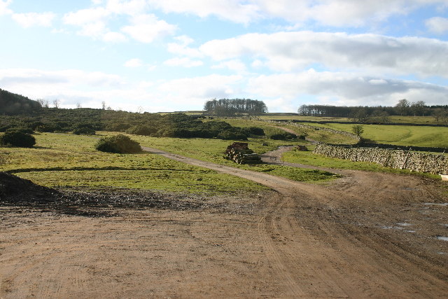
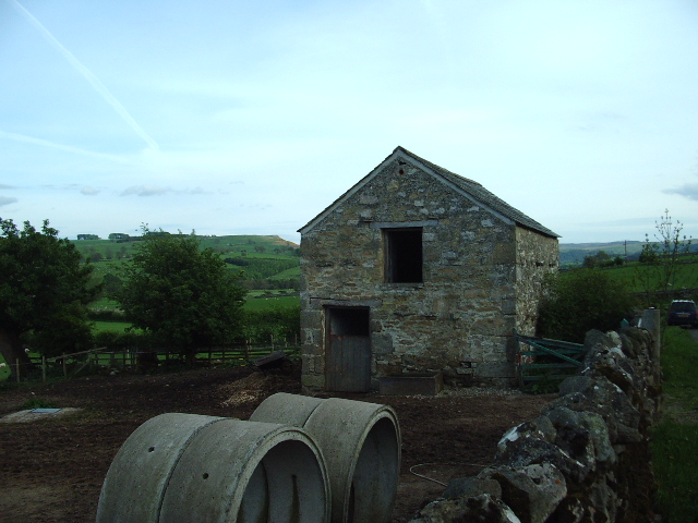
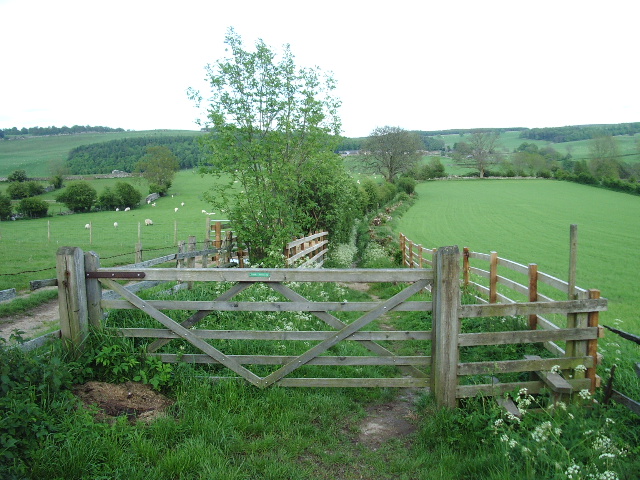
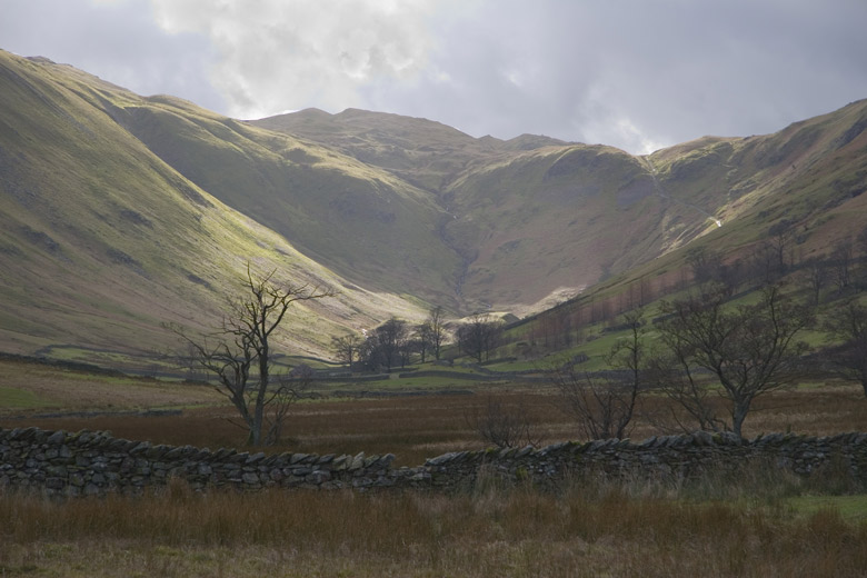
Helton Images

Images are sourced within 2km of 54.590926/-2.756725 or Grid Reference NY5122. Thanks to Geograph Open Source API. All images are credited.

Cattle, Riddingleys Top
Finger post, Riddingleys Top
Fell ponies, Riddingleys Top
Cairn circle, Moor Divock
Cop Stone, Moor Divock
Upper Green, Askham Askham is noted for its large expanse of greens.  They are divided by the road from Penrith to Bampton, and the upper green is smaller and probably less well-known than the lower green, which is by the road leading to the church and Lowther.
Upper Green, Askham
Askham is noted for its large expanse of greens. They are divided by the road from Penrith to Bampton, and the upper green is smaller and probably less well-known than the lower green, which is by the road leading to the church and Lowther.
Footbridge Over Heltondale Beck
Heltonhead Looking down the unclassified road to Helton.
Heltonhead
Looking down the unclassified road to Helton.
Helton Village Green
Askham View East From Upper Green
Path Meeting above Askham The bridleway to the right leads onto Askham Fell.
Path Meeting above Askham
The bridleway to the right leads onto Askham Fell.
Mini Reservoir Shown as just a small square on the OS map, this is clearly constructed and has an outflow but none in - being on limestone it is probably a modified rising.
Mini Reservoir
Shown as just a small square on the OS map, this is clearly constructed and has an outflow but none in - being on limestone it is probably a modified rising.
Farmland Between Plantations Grazed by sheep. There are gamebird rearing pens in the woods to the right.
Farmland Between Plantations
Grazed by sheep. There are gamebird rearing pens in the woods to the right.
Mirebank Plantation On the open, wild fells above Askham, this straight-sided plantation looks very out-of-place.
Mirebank Plantation
On the open, wild fells above Askham, this straight-sided plantation looks very out-of-place.
Ponies on Rough Land The grazing here is too poor to support ponies and horses, hence the hay feed. The area is criss-crossed with bridleways, and riding is a popular pastime and industry here.
Ponies on Rough Land
The grazing here is too poor to support ponies and horses, hence the hay feed. The area is criss-crossed with bridleways, and riding is a popular pastime and industry here.
Out Barn This small barn is being used as stables for a pair of quiet gentle horses.
Out Barn
This small barn is being used as stables for a pair of quiet gentle horses.
Bridlepath Taken at the Helton end, the photo shows the bridlepath looking towards to hamlet of Whale
Bridlepath
Taken at the Helton end, the photo shows the bridlepath looking towards to hamlet of Whale
Show me another place!

Helton is located at Grid Ref: NY5122 (Lat: 54.590926, Lng: -2.756725)

Administrative County: Cumbria

District: Eden

Police Authority: Cumbria

What 3 Words

///overhear.brain.sends. Near Shap, Cumbria

Related Wikis

Helton, Cumbria

Helton is a village in the Eden district, in the English county of Cumbria. It is about a mile south of the village of Askham. Circa 1870, it had a population...

Askham, Cumbria

Askham is a village and civil parish in the Eden district of Cumbria, England. It is in the historic county of Westmorland. According to the 2001 census...

Whale, Cumbria

Whale is a hamlet in the Westmorland and Furness unitary authority area, Cumbria, England. Historically in Westmorland, it is about a mile south of the...

Boredale Hause

Boredale Hause is a mountain pass between Place Fell and Angletarn Pikes in the east of the English Lake District. It links the Patterdale and Boredale...

Lowther, Cumbria

Lowther is a civil parish in Westmorland and Furness, Cumbria. Within the parish are the settlements of Lowther Village, Newtown or Lowther Newtown, Hackthorpe...
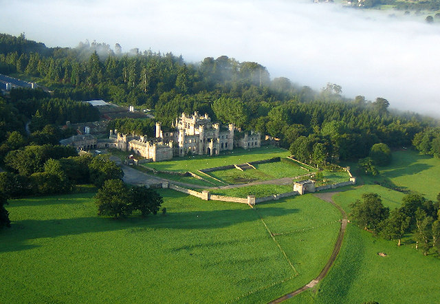
Lowther Castle

Lowther Castle is a country house in the historic county of Westmorland, which now under the current unitary authority of Westmorland and Furness, in the...

Askham Hall

Askham Hall is a country house near Askham in Cumbria. It is a Grade I listed building. == History == A peel tower was built on the site during the 14th...

Lowther Castle Stead

Lowther Castle Stead is a medieval site in Cumbria, possibly a ringwork castle. Lancaster University Archaeology Unit carried out a survey of the earthworks...

Nearby Amenities

Located within 500m of 54.590926,-2.756725
Helton
Place: village
Source: npe
Wikidata: Q2091890
Wikipedia: en:Helton, Cumbria
Lat/Long: 54.5922069/-2.7586007
Village Green
Local Ref: ON
Naptan AtcoCode: 090074051835
Naptan Bearing: W
Naptan BusStopType: CUS
Naptan CommonName: Village Green
Naptan Indicator: on
Naptan Landmark: The Green
Naptan NaptanCode: cumdadag
Naptan Street: No name
Naptan Verified: no
Source: naptan_import
Lat/Long: 54.5917854/-2.7591178
Barrier: stile
Material: wood
Source: survey;gps
Stile: ladder
Lat/Long: 54.5885201/-2.7610453
Post Box
Ref: CA10 227
Lat/Long: 54.5917189/-2.7590835
Barrier: kissing_gate
Source: survey;gps
Lat/Long: 54.5889634/-2.7597521
Barrier: stile
Material: stone
Source: survey;gps
Stile: stepover
Lat/Long: 54.5903644/-2.7600368
Barrier: cattle_grid
Lat/Long: 54.5907447/-2.7624802
Natural: spring
Source: OS_OpenData_StreetView
Lat/Long: 54.5875494/-2.7532983
Power: pole
Lat/Long: 54.5907618/-2.7576623
Power: pole
Lat/Long: 54.5896591/-2.7578859
Power: pole
Lat/Long: 54.5886898/-2.7580335
Power: pole
Lat/Long: 54.5879893/-2.75817
Power: pole
Lat/Long: 54.5873823/-2.7582842
Power: pole
Lat/Long: 54.587342/-2.7566604
Power: pole
Lat/Long: 54.5873213/-2.7553253
Power: pole
Lat/Long: 54.5873032/-2.7544106
Power: pole
Lat/Long: 54.5872643/-2.7527176
Power: pole
Lat/Long: 54.5931706/-2.7625958
Power: pole
Lat/Long: 54.5920913/-2.762759
Power: pole
Lat/Long: 54.5910015/-2.762929
Power: pole
Lat/Long: 54.5900128/-2.7630811
Power: pole
Lat/Long: 54.589107/-2.7632108
Power: pole
Lat/Long: 54.5888258/-2.7596035
Power: pole
Lat/Long: 54.5888919/-2.760469
Power: pole
Lat/Long: 54.5890047/-2.7617996
The data included in this document is from www.openstreetmap.org. The data is made available under ODbL.

Have you been to Helton?

Leave your review of Helton below (or comments, questions and feedback).