Low Donald Wood
Wood, Forest in Westmorland Eden
England
Low Donald Wood

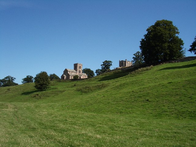
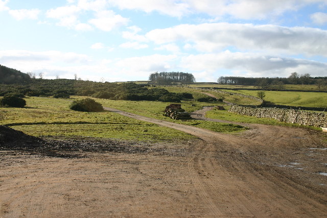
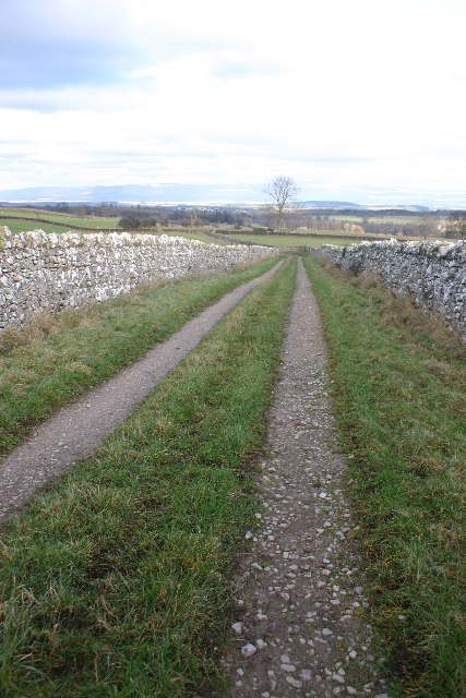
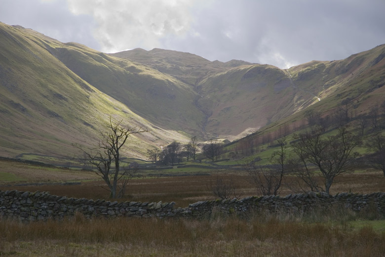
Low Donald Wood is a small woodland area located in the county of Westmorland, England. Situated within the larger Wood Forest, it covers a total area of approximately 2 square kilometers. The woodland is characterized by its diverse mix of tree species, including oak, birch, and beech, creating a picturesque landscape that attracts nature enthusiasts and hikers alike.
The forest is home to a variety of wildlife, such as deer, squirrels, and numerous bird species. This biodiversity is a result of the woodland's rich ecosystem, which provides ample food and shelter for the animals. Visitors can often spot these creatures while walking along the numerous trails that crisscross through the forest.
Low Donald Wood is also known for its historical significance. It has been documented that the woodland has been in existence for centuries and has served various purposes over time. In the past, it was used as a source of timber for building and fuel, providing valuable resources for the local community.
Today, the woodland is primarily managed by the local forestry commission, ensuring its preservation and sustainable use. The commission works to maintain the health of the woodland, managing tree growth, controlling invasive species, and promoting biodiversity. This ensures that future generations can continue to enjoy the natural beauty and ecological benefits that Low Donald Wood has to offer.
If you have any feedback on the listing, please let us know in the comments section below.
Low Donald Wood Images
Images are sourced within 2km of 54.598003/-2.7591638 or Grid Reference NY5122. Thanks to Geograph Open Source API. All images are credited.


Low Donald Wood is located at Grid Ref: NY5122 (Lat: 54.598003, Lng: -2.7591638)
Administrative County: Cumbria
District: Eden
Police Authority: Cumbria
What 3 Words
///president.pushover.gates. Near Penrith, Cumbria
Nearby Locations
Related Wikis

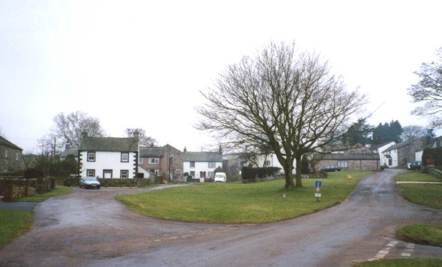
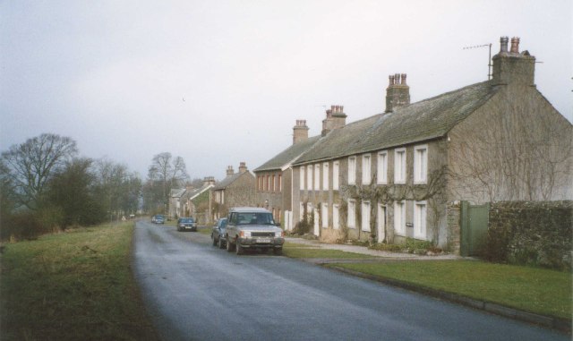
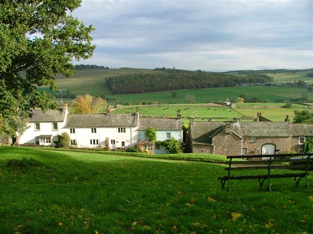
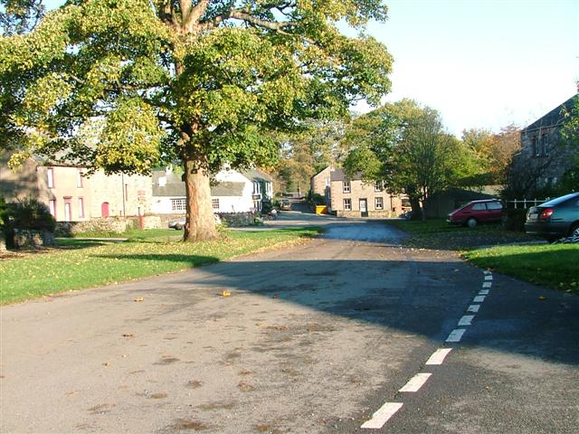
Askham, Cumbria
Askham is a village and civil parish in the Eden district of Cumbria, England. It is in the historic county of Westmorland. According to the 2001 census...

Helton, Cumbria
Helton is a village in the Eden district, in the English county of Cumbria. It is about a mile south of the village of Askham. Circa 1870, it had a population...

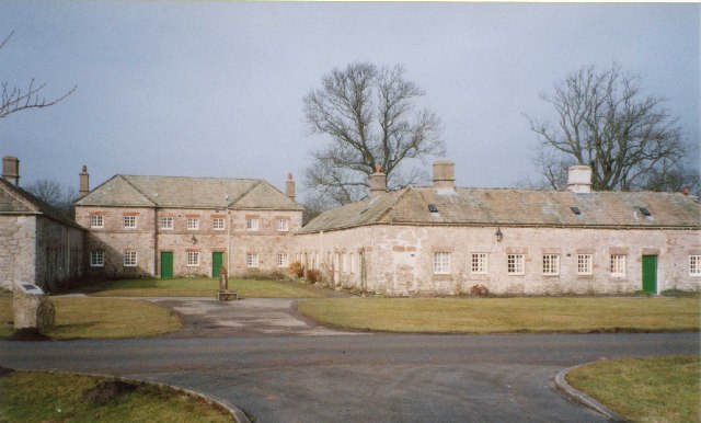
Askham Hall
Askham Hall is a country house near Askham in Cumbria. It is a Grade I listed building. == History == A peel tower was built on the site during the 14th...
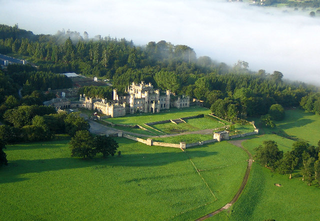
Lowther Castle
Lowther Castle is a country house in the historic county of Westmorland, which now under the current unitary authority of Westmorland and Furness, in the...

Lowther Castle Stead
Lowther Castle Stead is a medieval site in Cumbria, possibly a ringwork castle. Lancaster University Archaeology Unit carried out a survey of the earthworks...

Whale, Cumbria
Whale is a hamlet in the Westmorland and Furness unitary authority area, Cumbria, England. Historically in Westmorland, it is about a mile south of the...
Lowther, Cumbria
Lowther is a civil parish in Westmorland and Furness, Cumbria. Within the parish are the settlements of Lowther Village, Newtown or Lowther Newtown, Hackthorpe...
Boredale Hause
Boredale Hause is a mountain pass between Place Fell and Angletarn Pikes in the east of the English Lake District. It links the Patterdale and Boredale...
Nearby Amenities
Located within 500m of 54.598003,-2.7591638Have you been to Low Donald Wood?
Leave your review of Low Donald Wood below (or comments, questions and feedback).