Hay Moor

Downs, Moorland in Somerset Mendip

England

Hay Moor

Ashmoor Drove A large tree offers a chance to dry the lens (see <a href="https://www.geograph.org.uk/photo/2589582">ST4944 : Junction of droves near Hurn Farm</a>) while the rain continues. Across the levels in Longstring Farm at the foot of Yarley Hill.
Ashmoor Drove Credit: Derek Harper

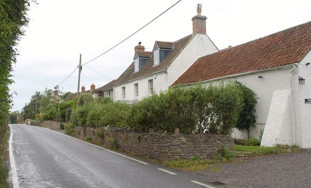
Hay Moor is a picturesque area located in Somerset, England. It is a combination of downs and moorland, offering visitors a diverse and stunning landscape to explore. Spanning approximately 500 acres, Hay Moor is a haven for nature enthusiasts and outdoor adventurers.

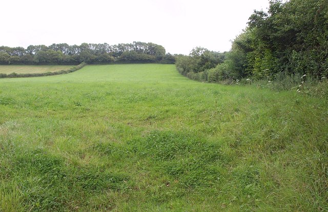
The moorland aspect of Hay Moor is characterized by its open, expansive spaces covered in heather, gorse, and grasses. This unique habitat provides a home to a variety of wildlife, including birds, insects, and small mammals. Visitors can often spot species such as skylarks, stonechats, and rabbits as they traverse the moorland trails.

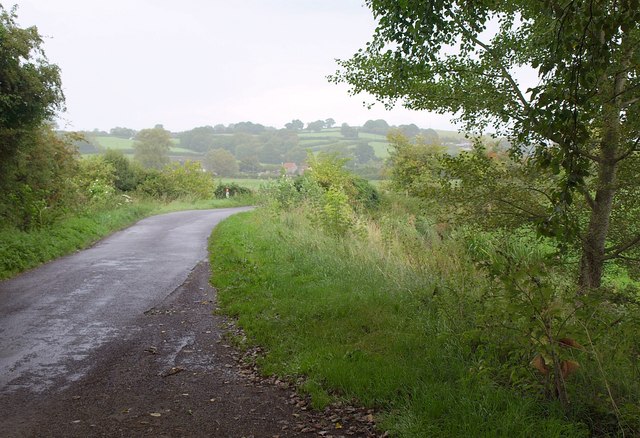
On the other hand, the downs of Hay Moor present a different landscape. Here, visitors will find rolling hills covered in lush green grass, offering breathtaking views of the surrounding countryside. The downs are dotted with clusters of trees, adding to the charm and beauty of the area. This part of Hay Moor is ideal for picnics, leisurely walks, and enjoying the tranquility of nature.

The area is also known for its historical significance. Hay Moor is home to several ancient burial mounds, dating back to the Bronze Age. These mounds serve as a reminder of the area's rich heritage and provide an opportunity for visitors to connect with the past.

Overall, Hay Moor is a delightful destination for those seeking natural beauty, wildlife sightings, and a sense of history. Whether exploring the moorland or strolling through the downs, visitors are sure to be captivated by the charm and serenity of this Somerset gem.

If you have any feedback on the listing, please let us know in the comments section below.
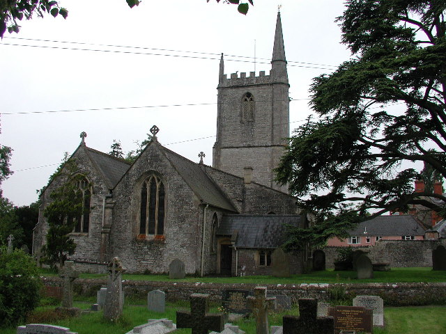
Hay Moor Images

Images are sourced within 2km of 51.195392/-2.6981854 or Grid Reference ST5144. Thanks to Geograph Open Source API. All images are credited.

Ashmoor Drove A large tree offers a chance to dry the lens (see <a href="https://www.geograph.org.uk/photo/2589582">ST4944 : Junction of droves near Hurn Farm</a>) while the rain continues. Across the levels in Longstring Farm at the foot of Yarley Hill.
Ashmoor Drove
A large tree offers a chance to dry the lens (see ST4944 : Junction of droves near Hurn Farm) while the rain continues. Across the levels in Longstring Farm at the foot of Yarley Hill.
Field near Henton Looking up the slopes of Yarley Hill from the B3139 east of Henton.
Field near Henton
Looking up the slopes of Yarley Hill from the B3139 east of Henton.
Ripple Farm A farmhouse on the B3139 at the east end of Henton.
Ripple Farm
A farmhouse on the B3139 at the east end of Henton.
Flow Measuring Station on River Sheppey The River Sheppey is a significant watercourse on this part of the Somerset Levels, taking water from the foot of the Mendips at Wells, meandering around Godney and into the rhynes that feed the River Brue. 
The Environment Agency monitor the river flow and can thus predict flooding: data available at <span class="nowrap"><a title="http://www.environment-agency.gov.uk/homeandleisure/floods/riverlevels/riverstation.aspx?StationId=3054&RegionId=5&AreaId=9&CatchmentId=19" rel="nofollow ugc noopener" href="http://www.environment-agency.gov.uk/homeandleisure/floods/riverlevels/riverstation.aspx?StationId=3054&RegionId=5&AreaId=9&CatchmentId=19">Link</a><img style="margin-left:2px;" alt="External link" title="External link - shift click to open in new window" src="https://s1.geograph.org.uk/img/external.png" width="10" height="10"/></span>
Flow Measuring Station on River Sheppey
The River Sheppey is a significant watercourse on this part of the Somerset Levels, taking water from the foot of the Mendips at Wells, meandering around Godney and into the rhynes that feed the River Brue. The Environment Agency monitor the river flow and can thus predict flooding: data available at LinkExternal link
B3139 towards Henton
River Sheppey flow measuring station The discharge of the river Sheppey is measured at this point.
River Sheppey flow measuring station
The discharge of the river Sheppey is measured at this point.
Henton House, Wells Road, Henton
Flow measuring station
View from Hurn Drove near Godney Looking south from Hurn Drove over the Somerset Levels towards Glastonbury Tor.
View from Hurn Drove near Godney
Looking south from Hurn Drove over the Somerset Levels towards Glastonbury Tor.
Pastures at Yarley Fields Nature Reserve, Somerset The flat country in front is the Somerset Levels.
Pastures at Yarley Fields Nature Reserve, Somerset
The flat country in front is the Somerset Levels.
Flowers by the bridge at Hurn Farm
Fields next to Ashmoor Drove
River Sheppy
River Sheppy
Hurn Farm
Hurn Farm
Shott's Farm
Shott's Farm
River Sheppey flow measuring station With viewing seat!
River Sheppey flow measuring station
With viewing seat!
Wookey (Somerset) St Matthew's church Not to be confused with Wookey Hole which has its own church.
Wookey (Somerset) St Matthew's church
Not to be confused with Wookey Hole which has its own church.
Castle Hill, Fenny Castle
Show me another place!

Hay Moor is located at Grid Ref: ST5144 (Lat: 51.195392, Lng: -2.6981854)

Administrative County: Somerset

District: Mendip

Police Authority: Avon and Somerset

What 3 Words

///visa.slope.adjusting. Near Wells, Somerset

Nearby Locations

Ben Knowle Hill Hay Moor

Related Wikis

Ben Knowle

Ben Knowle (grid reference ST513450) is a 1.5 hectare geological Site of Special Scientific Interest in Somerset, notified in 1984. Ben Knowle is a natural...

Fenny Castle

Fenny Castle is the remains of a motte and bailey castle in the parish of Wookey, Somerset, England. It is a Scheduled Ancient Monument, but not accessible...

Polsham railway station

Polsham was a railway station on the Somerset and Dorset Railway in the village of Polsham, Somerset in England. Opening in December 1861 on the Somerset...

Christ Church, Coxley

Christ Church is a Church of England church in Coxley, Somerset, England. It was built in 1839–40 to the designs of Richard Carver and is a Grade II listed...

Wookey

Wookey is a village and civil parish 2 miles (3.2 km) west of Wells, on the River Axe in Somerset, England. The parish includes the village of Henton and...

St Cuthbert Out

St Cuthbert Out, sometimes Wells St Cuthbert Out, is a civil parish in the Mendip district of Somerset, England. It entirely surrounds (but does not include...

Wookey railway station

Wookey railway station was a station on the Bristol and Exeter Railway's Cheddar Valley line in Somerset, England. The site is a 0.04 hectare geological...

St Cuthberts Mill

St Cuthberts Mill is a British paper manufacturing company in Wells, Somerset, that specialises in mould made artists papers. The range includes traditional...

Nearby Amenities

Located within 500m of 51.195392,-2.6981854
Hay Moor
Place: locality
Source: OS OpenData StreetView
Lat/Long: 51.1953429/-2.6967253
Battlebury
Place: locality
Source: OS OpenData StreetView
Lat/Long: 51.1963918/-2.6917901
The data included in this document is from www.openstreetmap.org. The data is made available under ODbL.

Have you been to Hay Moor?

Leave your review of Hay Moor below (or comments, questions and feedback).