Lowside Moss
Downs, Moorland in Lancashire Lancaster
England
Lowside Moss
Lowside Moss is a picturesque region located in Lancashire, England, encompassing a vast expanse of downs and moorland. Situated amidst the serene and tranquil countryside, this area boasts breathtaking natural beauty and is a haven for outdoor enthusiasts.
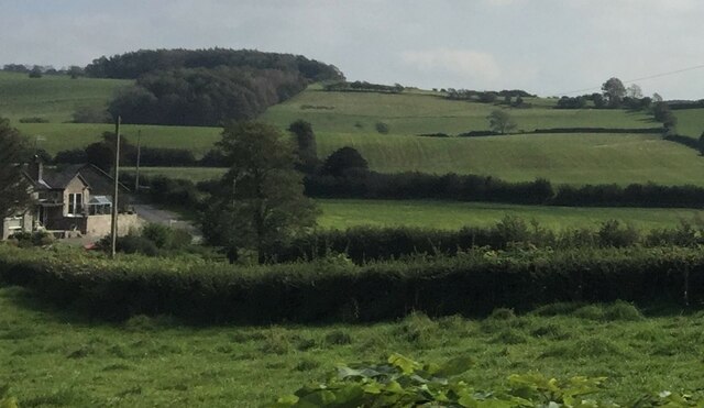
The downs of Lowside Moss offer rolling hills and sweeping vistas, characterized by their gentle slopes and grassy expanses. These downs provide ample opportunities for leisurely walks, picnics, and horseback riding, allowing visitors to immerse themselves in the idyllic ambiance of the region. The area is rich in diverse flora and fauna, with vibrant wildflowers dotting the landscape during the warmer months and a variety of bird species, including skylarks and pheasants, making it a haven for birdwatchers.
Adjacent to the downs lies the moorland of Lowside Moss, a rugged and more untamed terrain. The moorland is characterized by its expansive open spaces, heather-covered hills, and scattered patches of woodland. It offers a more challenging environment for hikers and nature enthusiasts, with its uneven terrain and captivating panoramic views. The moorland is home to various species of wildlife, including rabbits, hares, and occasionally even deer.
Lowside Moss is a place where one can truly connect with nature and experience the beauty of the Lancashire countryside. Its downs and moorland offer a diverse range of outdoor activities, from leisurely strolls to more adventurous hikes. Whether seeking solitude in nature or immersing oneself in the rich biodiversity of the region, Lowside Moss provides an enchanting escape from the hustle and bustle of everyday life.
If you have any feedback on the listing, please let us know in the comments section below.
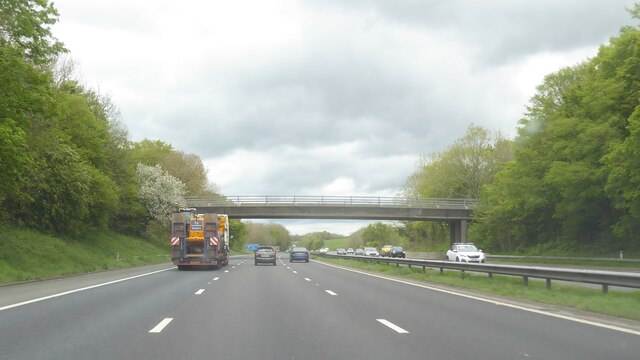
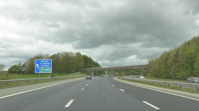
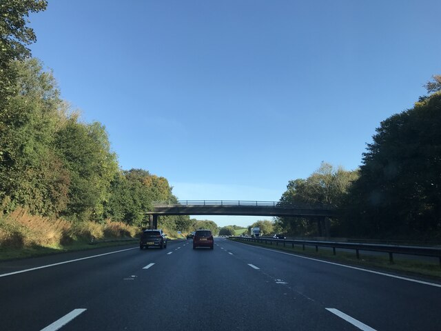
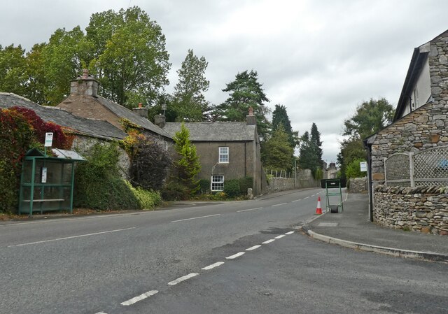
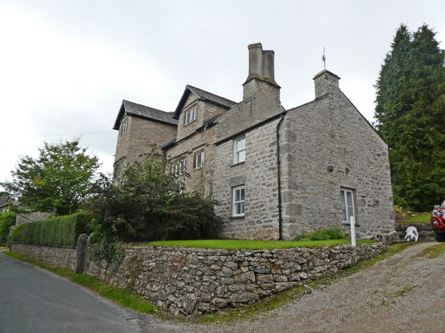
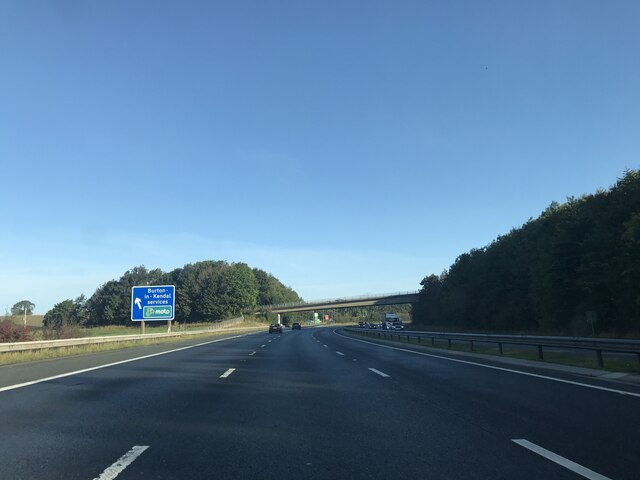
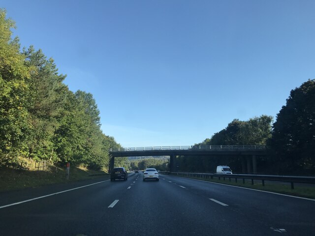
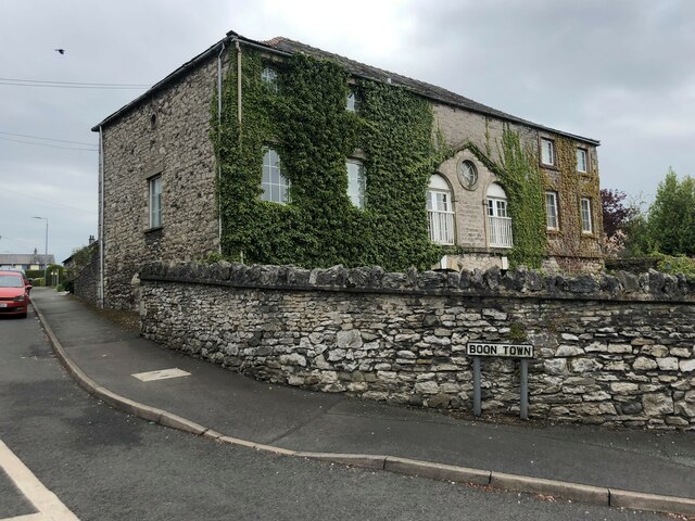
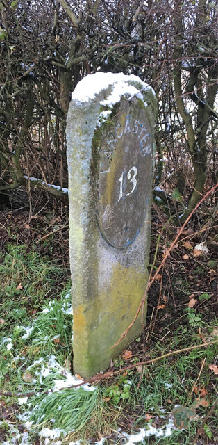
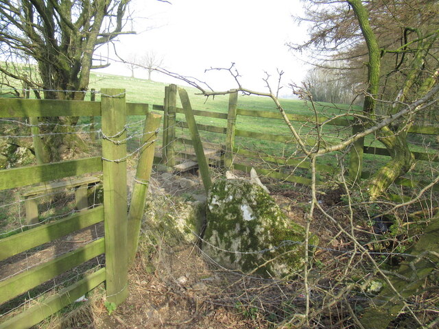
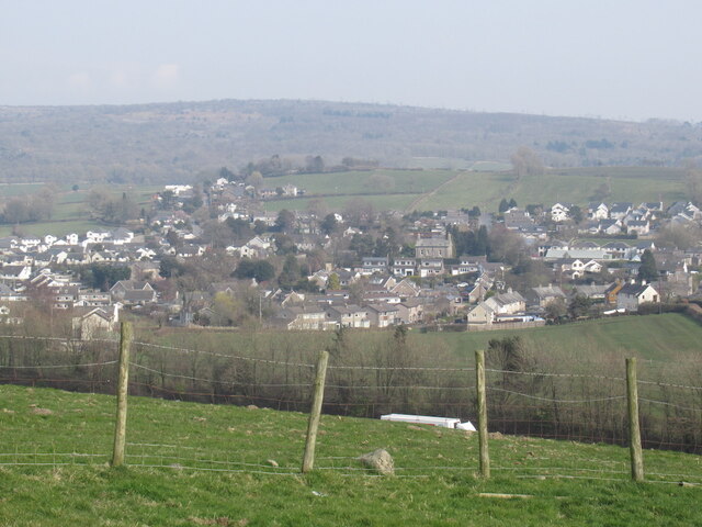
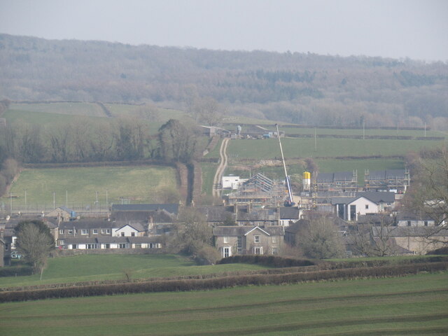
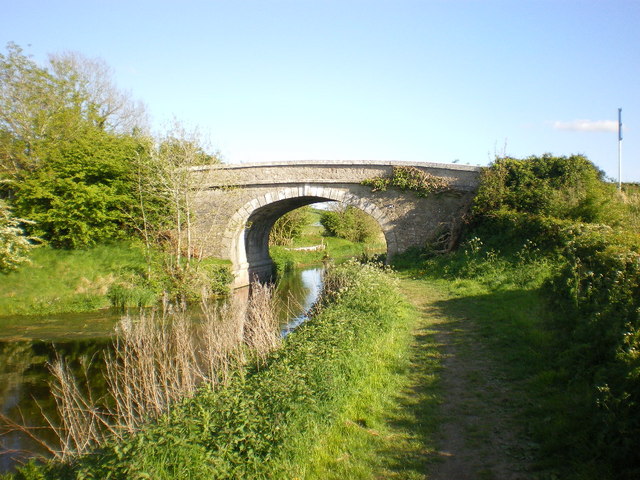
Lowside Moss Images
Images are sourced within 2km of 54.179747/-2.7483542 or Grid Reference SD5176. Thanks to Geograph Open Source API. All images are credited.


Lowside Moss is located at Grid Ref: SD5176 (Lat: 54.179747, Lng: -2.7483542)
Administrative County: Lancashire
District: Lancaster
Police Authority: Lancashire
What 3 Words
///dwarves.simulates.melts. Near Warton, Lancashire
Nearby Locations
Related Wikis

Burton-in-Kendal Services
Burton-in-Kendal services is a motorway service station on the M6 motorway in Cumbria, England, adjacent to the border with Lancashire. It is located about...
Yealand Redmayne
Yealand Redmayne is a village and civil parish in the English county of Lancashire. == Community == The civil parish also includes the hamlet of Yealand...
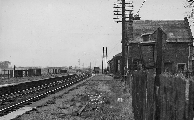
Burton and Holme railway station
Burton and Holme railway station served the village of Burton-in-Kendal, Westmorland, England, from 1846 to 1966 on the Lancaster and Carlisle Railway...
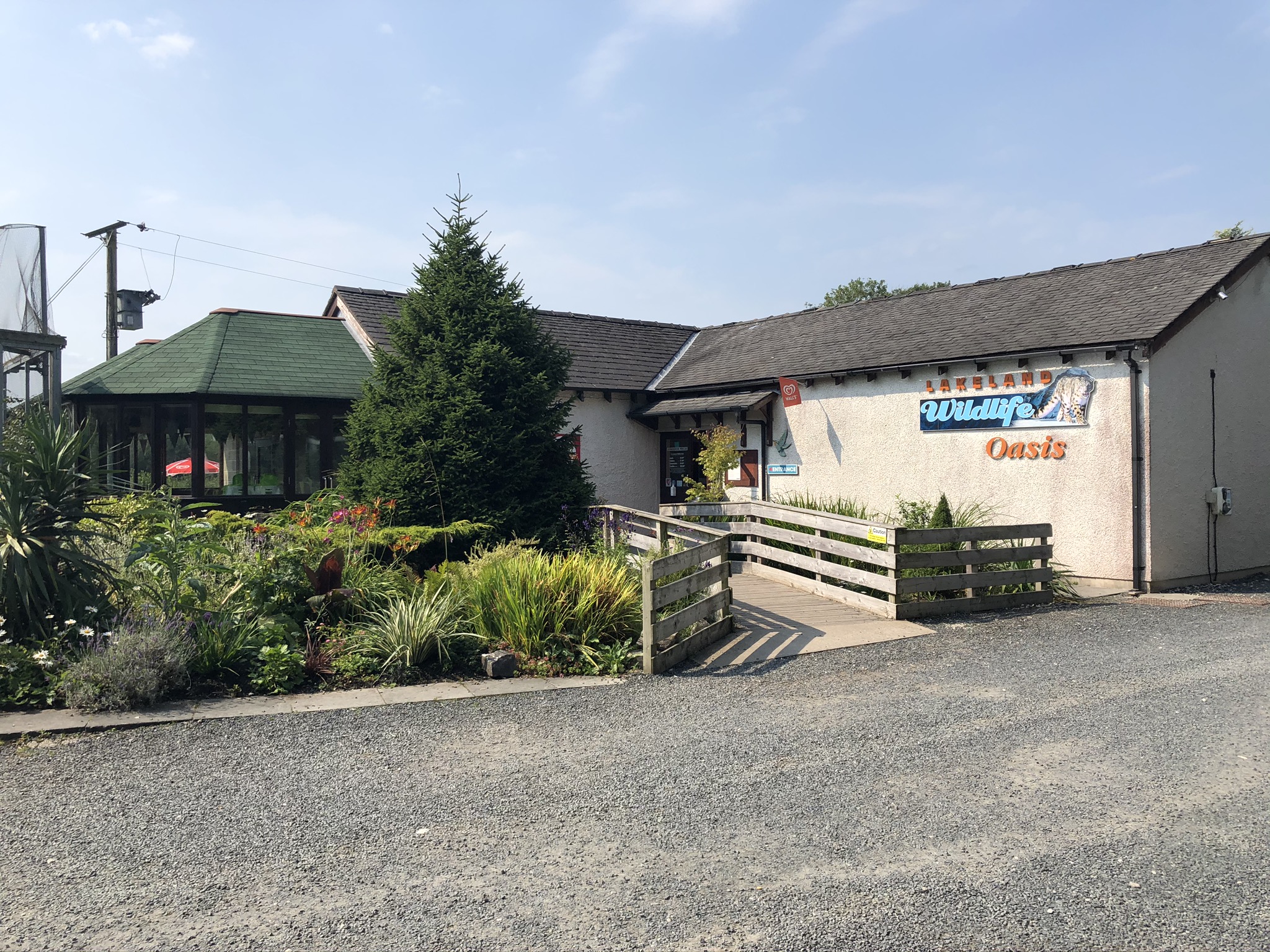
Lakeland Wildlife Oasis
The Lakeland Wildlife Oasis is a small zoological collection near the town of Milnthorpe, Cumbria, England, with a science and evolution theme. Since April...
Nearby Amenities
Located within 500m of 54.179747,-2.7483542Have you been to Lowside Moss?
Leave your review of Lowside Moss below (or comments, questions and feedback).