Kew Wood
Wood, Forest in Lancashire Lancaster
England
Kew Wood
Kew Wood, located in Lancashire, is a picturesque woodland area renowned for its natural beauty and rich biodiversity. This enchanting forest covers an area of approximately 100 acres and is situated near the village of Kew, offering a tranquil retreat for nature enthusiasts and outdoor lovers.
The wood is predominantly composed of native oak and beech trees, which create a dense canopy, allowing only dappled sunlight to filter through. This creates a serene and peaceful atmosphere, with the soft rustling of leaves and the chirping of birds providing a soothing soundtrack for visitors.
Kew Wood is home to a diverse range of flora and fauna, making it an important ecological habitat. The forest floor boasts a colorful carpet of wildflowers, including bluebells, primroses, and wood anemones, which bloom in abundance during the spring months. This attracts a myriad of butterflies, bees, and other pollinators, adding to the vibrancy and vitality of the woodland.
Wildlife enthusiasts will delight in the variety of creatures that call Kew Wood their home. The woodland is a haven for birds, with species such as woodpeckers, owls, and song thrushes frequently spotted among the treetops. Squirrels, rabbits, and even deer can be glimpsed darting through the undergrowth, adding to the charm and natural beauty of the area.
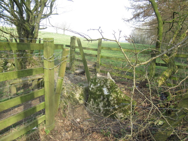
Kew Wood offers numerous walking trails and pathways, allowing visitors to explore and immerse themselves in the tranquility of the forest. Its accessibility and close proximity to the village of Kew make it a popular destination for locals and tourists alike, providing a welcome respite from the hustle and bustle of everyday life.
If you have any feedback on the listing, please let us know in the comments section below.
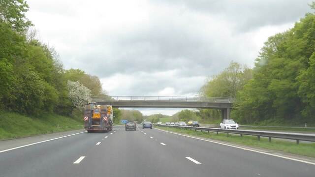
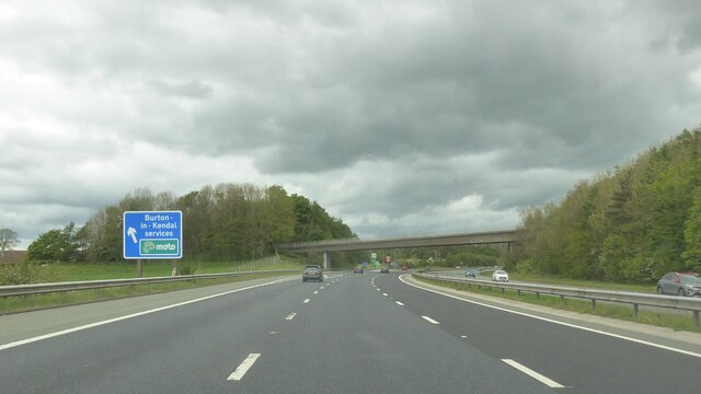
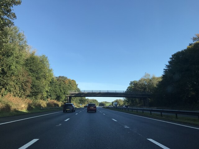
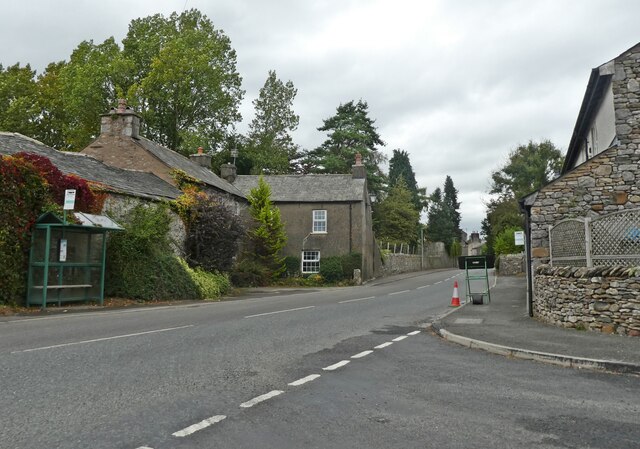
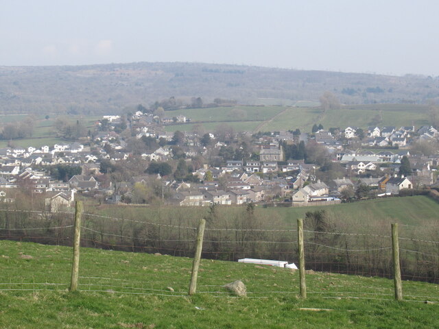
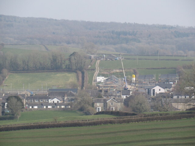
Kew Wood Images
Images are sourced within 2km of 54.184505/-2.7405486 or Grid Reference SD5176. Thanks to Geograph Open Source API. All images are credited.


Kew Wood is located at Grid Ref: SD5176 (Lat: 54.184505, Lng: -2.7405486)
Administrative County: Lancashire
District: Lancaster
Police Authority: Lancashire
What 3 Words
///blanks.spearing.pavement. Near Warton, Lancashire
Nearby Locations
Related Wikis
Burton and Holme railway station
Burton and Holme railway station served the village of Burton-in-Kendal, Westmorland, England, from 1846 to 1966 on the Lancaster and Carlisle Railway...

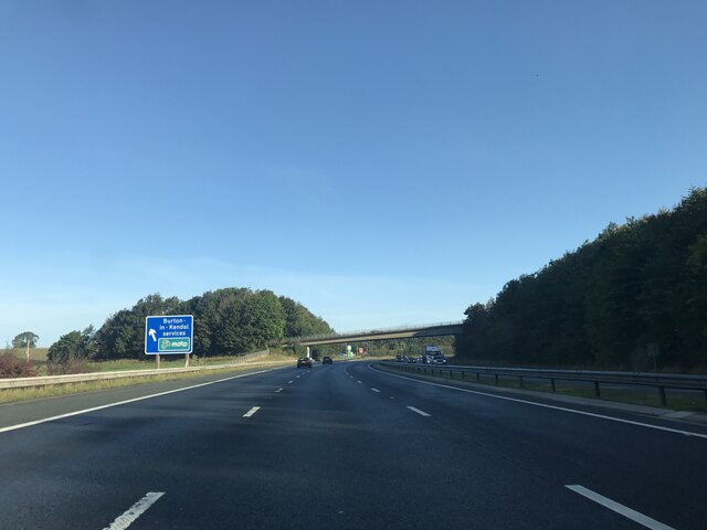
Burton-in-Kendal Services
Burton-in-Kendal services is a motorway service station on the M6 motorway in Cumbria, England, adjacent to the border with Lancashire. It is located about...
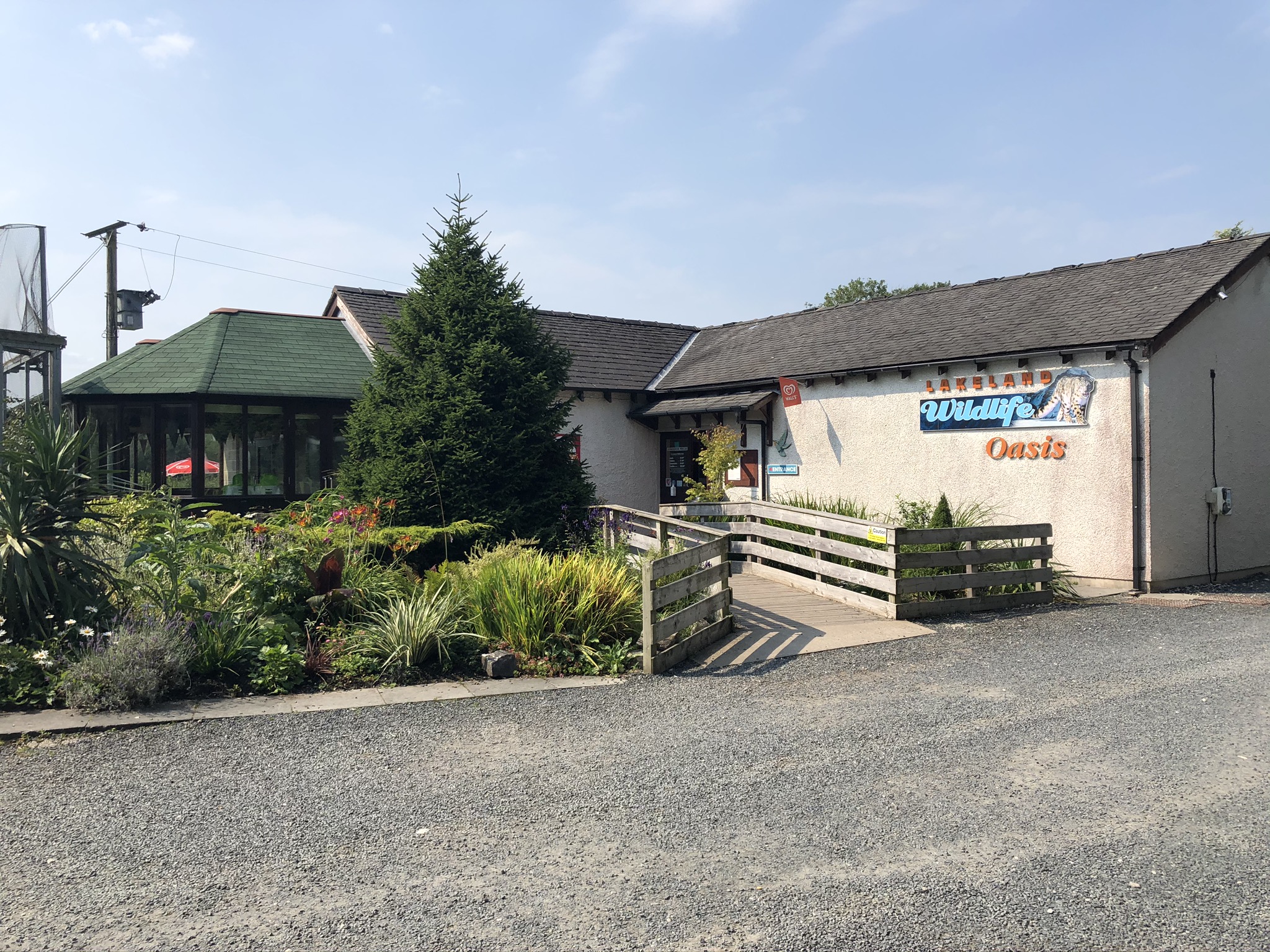
Lakeland Wildlife Oasis
The Lakeland Wildlife Oasis is a small zoological collection near the town of Milnthorpe, Cumbria, England, with a science and evolution theme. Since April...
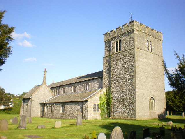
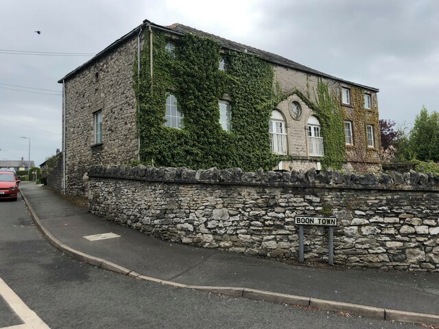
St James' Church, Burton-in-Kendal
St James' Church is in the village of Burton-in-Kendal, Cumbria, England. It is an active Anglican parish church in the deanery of Kendal, the archdeaconry...
Nearby Amenities
Located within 500m of 54.184505,-2.7405486Have you been to Kew Wood?
Leave your review of Kew Wood below (or comments, questions and feedback).