Hilderstone Wood
Wood, Forest in Lancashire Lancaster
England
Hilderstone Wood
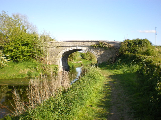
Hilderstone Wood is a beautiful forest located in Lancashire, England. Covering an area of approximately 50 hectares, the wood is known for its diverse range of tree species and abundance of wildlife. It is a popular destination for nature enthusiasts and locals seeking a tranquil escape from the hustle and bustle of city life.
The wood is predominantly made up of broadleaf trees, including oak, beech, and birch. These towering trees create a dense canopy, providing shade and shelter for the various plants and animals that call the wood their home. The forest floor is covered in a thick layer of moss and ferns, adding to its enchanting atmosphere.
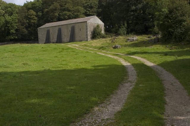
Hilderstone Wood is intersected by several walking trails and footpaths, allowing visitors to explore its natural beauty at their own pace. These pathways wind through the forest, offering glimpses of sunlight filtering through the leaves and the soothing sound of birdsong.
The wood is also home to a wide range of wildlife. Squirrels can be seen darting among the branches, while songbirds flit through the undergrowth. Keen-eyed visitors may spot roe deer or foxes roaming through the trees. The wood's diverse ecosystem supports a variety of insects, including butterflies and beetles.
Overall, Hilderstone Wood is a haven of tranquility and natural beauty. Its lush vegetation, diverse wildlife, and well-maintained trails make it a delightful destination for anyone seeking to reconnect with nature.
If you have any feedback on the listing, please let us know in the comments section below.
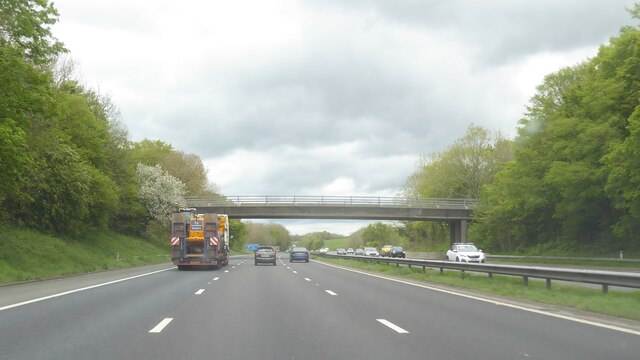
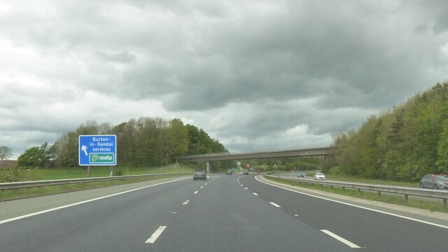
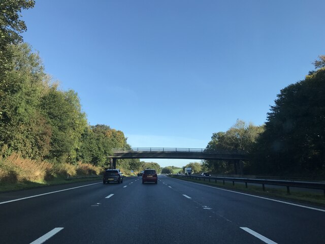
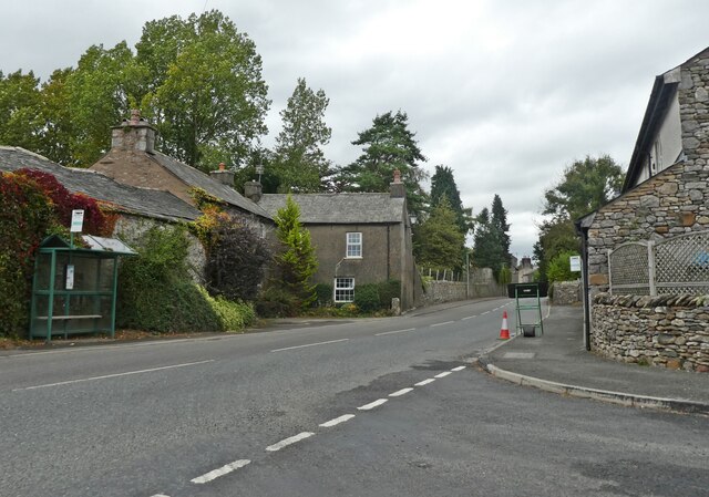
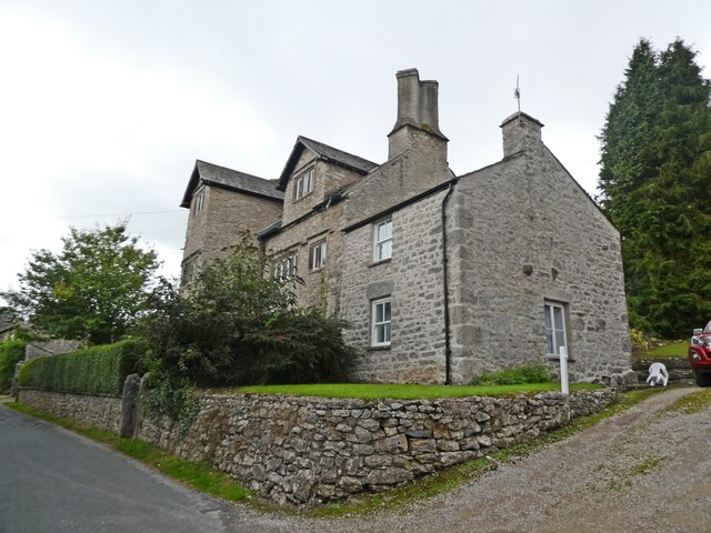
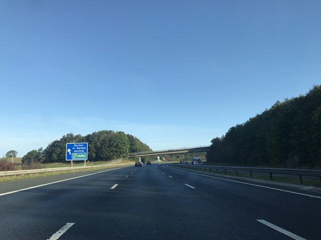
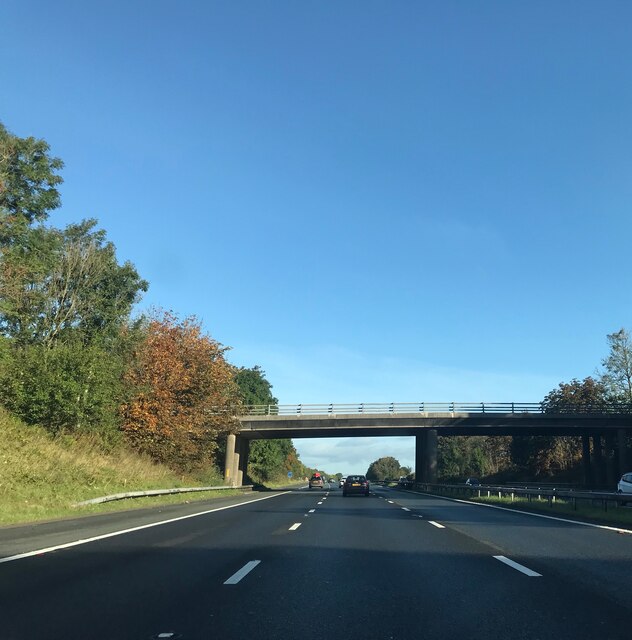
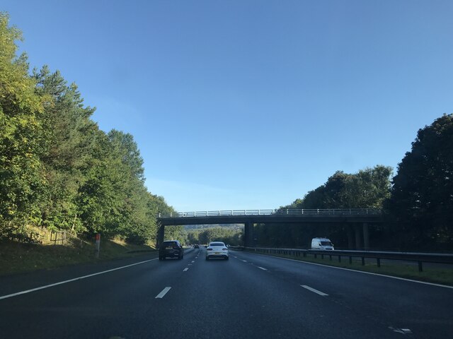
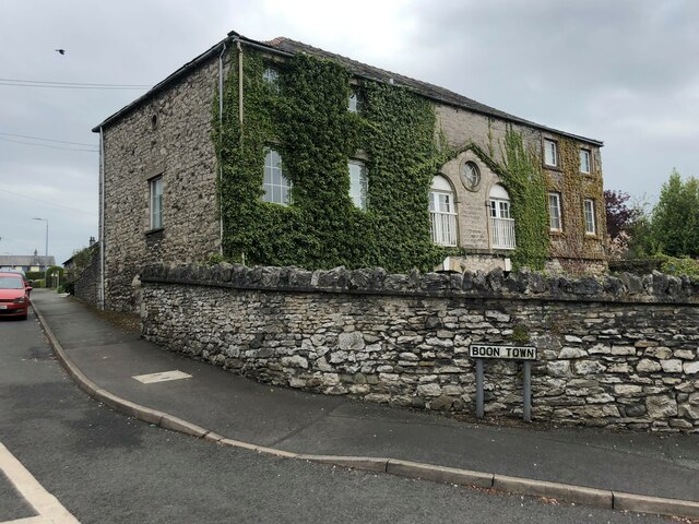
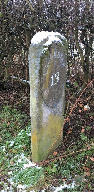
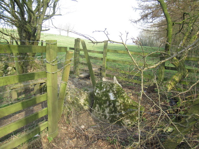
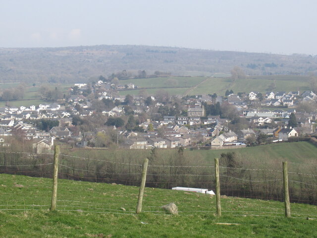
Hilderstone Wood Images
Images are sourced within 2km of 54.18373/-2.7423122 or Grid Reference SD5176. Thanks to Geograph Open Source API. All images are credited.


Hilderstone Wood is located at Grid Ref: SD5176 (Lat: 54.18373, Lng: -2.7423122)
Administrative County: Lancashire
District: Lancaster
Police Authority: Lancashire
What 3 Words
///tonality.clothed.restores. Near Warton, Lancashire
Nearby Locations
Related Wikis
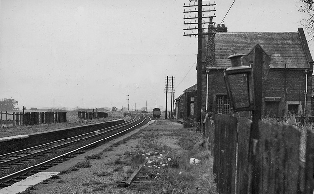
Burton and Holme railway station
Burton and Holme railway station served the village of Burton-in-Kendal, Westmorland, England, from 1846 to 1966 on the Lancaster and Carlisle Railway...

Burton-in-Kendal Services
Burton-in-Kendal services is a motorway service station on the M6 motorway in Cumbria, England, adjacent to the border with Lancashire. It is located about...

Lakeland Wildlife Oasis
The Lakeland Wildlife Oasis is a small zoological collection near the town of Milnthorpe, Cumbria, England, with a science and evolution theme. Since April...

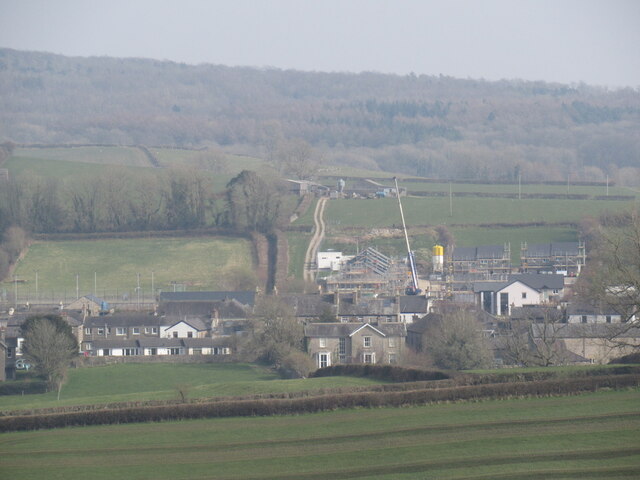
Burton-in-Kendal
Burton-in-Kendal is a village and civil parish on the extreme southern edge of Cumbria, England. The parish contains around 660 houses and in the 2001...
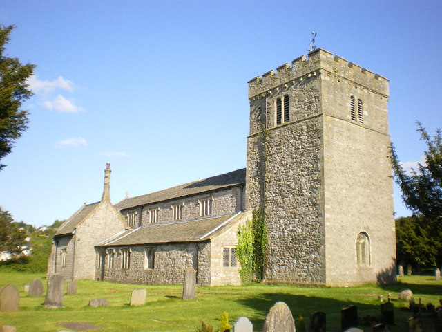
St James' Church, Burton-in-Kendal
St James' Church is in the village of Burton-in-Kendal, Cumbria, England. It is an active Anglican parish church in the deanery of Kendal, the archdeaconry...
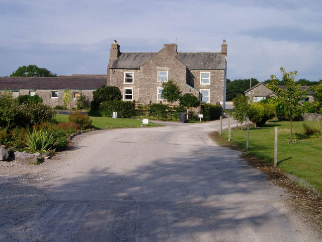
Clawthorpe
Clawthorpe is a hamlet in the South Lakeland district, in the county of Cumbria, England. It is near the village of Burton-in-Kendal and the town of Kendal...
Yealand Redmayne
Yealand Redmayne is a village and civil parish in the English county of Lancashire. == Community == The civil parish also includes the hamlet of Yealand...
Yealand Storrs
Yealand Storrs is a hamlet in the English county of Lancashire. == Geography == Yealand Storrs is north of Lancaster near the border with Cumbria, it...
Related Videos
2013 Swift Bordeaux at Silver Ridge Holiday Park (SOLD)
Discover holiday home ownership at our peaceful Silver Ridge park. Simply call 01524 701508 for more details.
Swift Bordeaux at Silver Ridge Holiday Park (SOLD)
Take a look around the Swift Bordeaux at Silver Ridge Holiday Park Contact our team to arrange a park visit on 01524 701508 ...

Lakeland Wildlife Oasis
A few hours spent at this little place. Best watched at 1080p.

The Lakeland Wildlife Oasis, Milnthorpe, Cumbria, UK
A day of fun for the kids and to have the experience of seeing some unusual animals.
Nearby Amenities
Located within 500m of 54.18373,-2.7423122Have you been to Hilderstone Wood?
Leave your review of Hilderstone Wood below (or comments, questions and feedback).