Longton Moss
Downs, Moorland in Lancashire South Ribble
England
Longton Moss

Longton Moss is a region located in Lancashire, England, known for its vast expanse of downs and moorland. It covers an area of approximately 10 square kilometers and is situated to the southwest of the town of Longton.
The landscape of Longton Moss is characterized by gently rolling hills, interspersed with heather-covered moors and patches of open grassland. The area is primarily composed of peat, which has accumulated over thousands of years, creating a unique and valuable habitat for a variety of plant and animal species.
The vegetation found in Longton Moss is diverse and includes heather, cotton grass, bilberry, and various species of grasses. These plants provide crucial habitats for a number of bird species, such as curlews, lapwings, and skylarks, which can be observed throughout the area.
In addition to its natural beauty, Longton Moss also holds historical significance. The remains of ancient settlements and burial mounds dating back to the Bronze Age have been discovered in the region, highlighting its long-standing human presence.
Longton Moss is a popular destination for outdoor enthusiasts, offering opportunities for walking, birdwatching, and photography. Several footpaths and trails traverse the area, allowing visitors to explore its scenic landscapes and observe its rich biodiversity.
Overall, Longton Moss is a picturesque and ecologically important region, appreciated for its stunning downs and moorland, as well as its historical significance, making it a valuable asset to Lancashire's natural and cultural heritage.
If you have any feedback on the listing, please let us know in the comments section below.
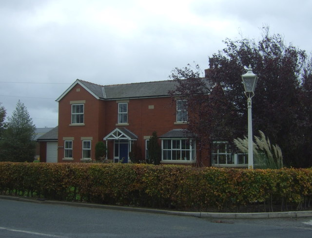
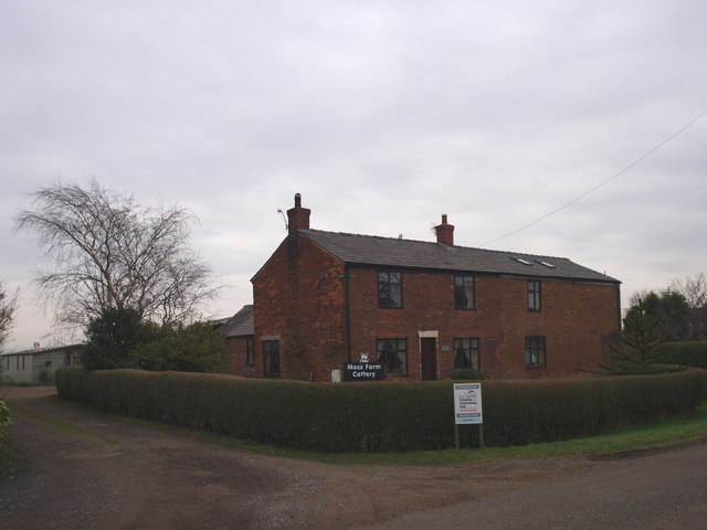
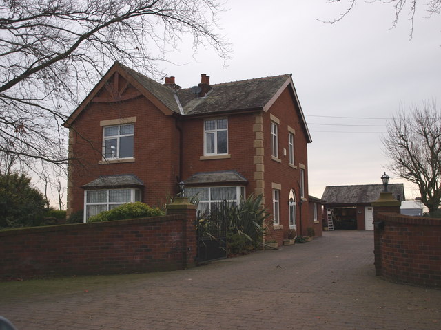
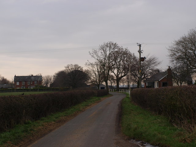
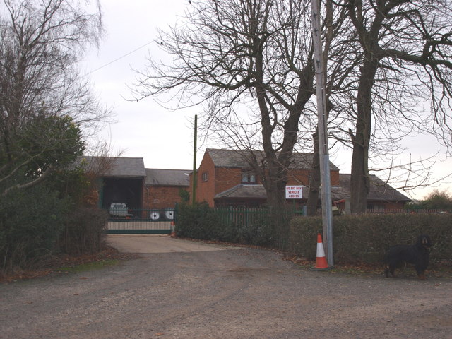
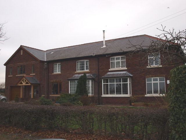
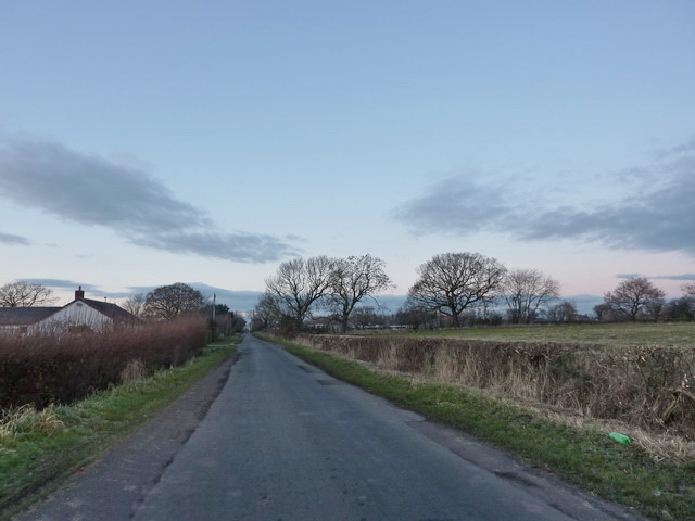
Longton Moss Images
Images are sourced within 2km of 53.714358/-2.7399298 or Grid Reference SD5124. Thanks to Geograph Open Source API. All images are credited.


Longton Moss is located at Grid Ref: SD5124 (Lat: 53.714358, Lng: -2.7399298)
Administrative County: Lancashire
District: South Ribble
Police Authority: Lancashire
What 3 Words
///yards.humid.trail. Near Leyland, Lancashire
Nearby Locations
Related Wikis

Whitestake
Whitestake is a small village in the South Ribble district of Lancashire, England, on the eastern edge of New Longton It is at the boundary of the parishes...
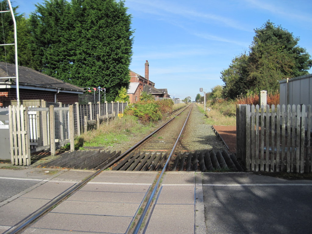
Midge Hall railway station
Midge Hall railway station was located in Midge Hall, Leyland, closing to passengers in 1961, although the line still exists as the Ormskirk Branch Line...

Midge Hall
Midge Hall is a small village on the outskirts of Leyland in the borough of South Ribble, Lancashire, England. Notable features include the Midge Hall...

New Longton
New Longton is a village located 4 miles (6 km) south west of Preston, in the district of South Ribble, in the county of Lancashire, North West England...
Nearby Amenities
Located within 500m of 53.714358,-2.7399298Have you been to Longton Moss?
Leave your review of Longton Moss below (or comments, questions and feedback).