Arnside Moss

Downs, Moorland in Westmorland South Lakeland

England

Arnside Moss

Cycling on Park Road (B5282) Heading north east.
Cycling on Park Road (B5282) Credit: JThomas

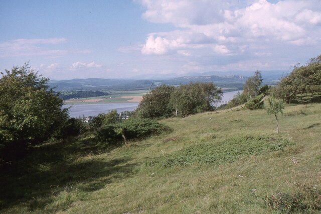
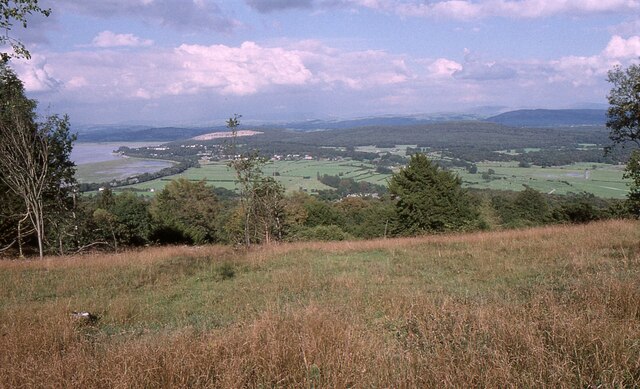
Arnside Moss, located in Westmorland, is a picturesque and ecologically diverse area known for its stunning natural beauty and unique moorland habitat. Spread across an extensive area, it encompasses rolling hills, heather-covered moors, and verdant valleys.

The moss is home to a wide range of flora and fauna, making it a haven for nature enthusiasts and wildlife lovers. The landscape is dotted with vibrant purple heather, interspersed with patches of lush grasslands and scattered trees. Visitors can witness the area's rich biodiversity, with numerous species of birds, small mammals, and insects inhabiting the moss.

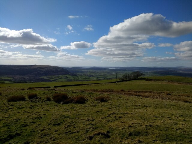
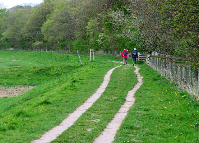
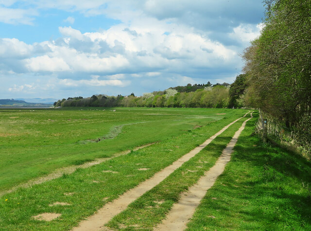
The terrain of Arnside Moss is characterized by its undulating downs, providing breathtaking panoramic views of the surrounding countryside. Visitors can revel in the tranquility of the area, with its peaceful atmosphere and gentle sounds of nature. The moss also offers various walking trails, allowing visitors to explore its beauty at their own pace.

Westmorland's climate plays a crucial role in shaping the moss's unique ecosystem. The region experiences mild summers and cool winters, creating a favorable environment for the growth of heather and other moorland vegetation.

Arnside Moss is a designated Area of Outstanding Natural Beauty, ensuring its protection and preservation. The local authorities have implemented measures to maintain the delicate balance of the ecosystem and conserve the area's diverse wildlife.

In conclusion, Arnside Moss in Westmorland is a captivating moorland landscape that showcases the natural beauty and ecological richness of the region. With its diverse flora and fauna, rolling downs, and stunning views, it offers a truly enchanting experience for visitors.

If you have any feedback on the listing, please let us know in the comments section below.
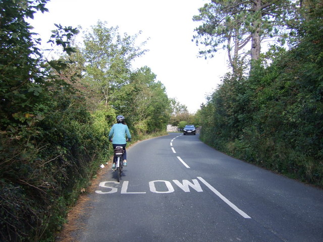
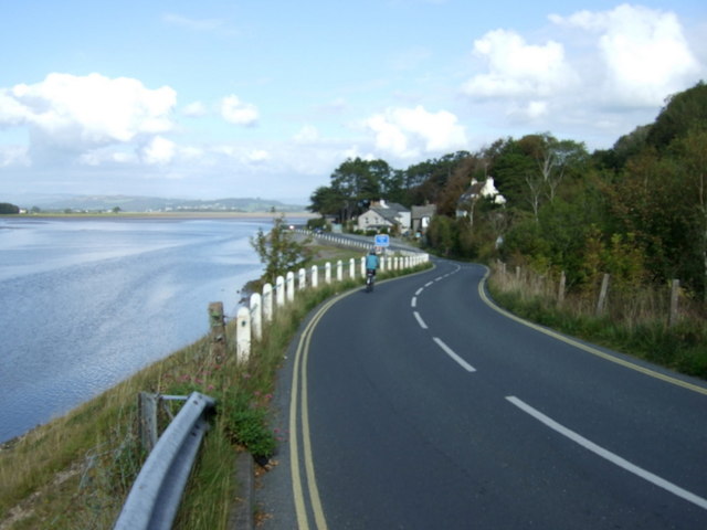
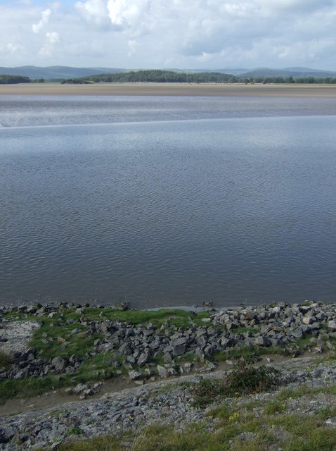
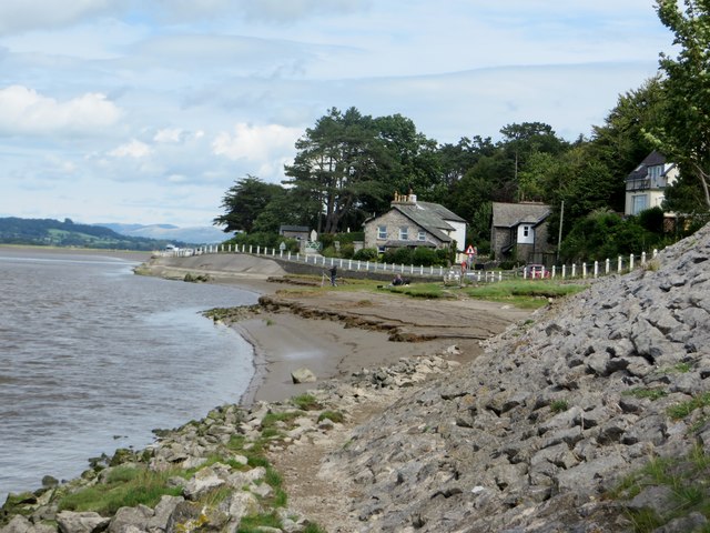
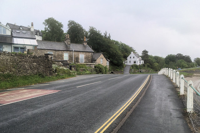
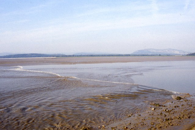
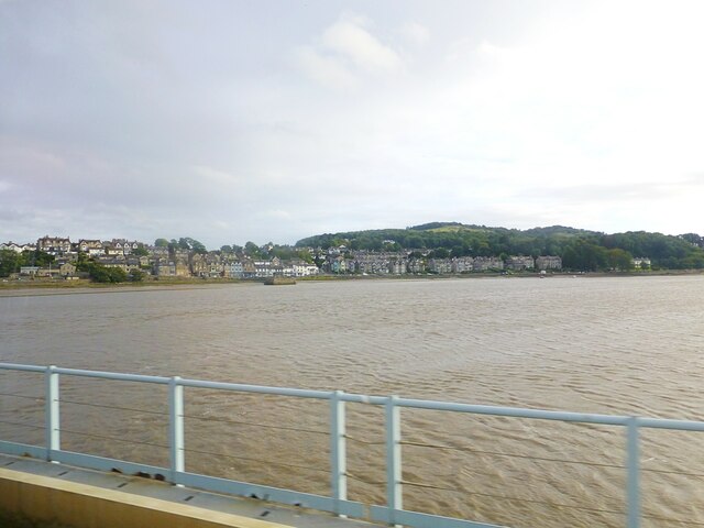
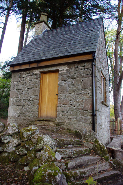
Arnside Moss Images

Images are sourced within 2km of 54.200347/-2.813447 or Grid Reference SD4778. Thanks to Geograph Open Source API. All images are credited.

Cycling on Park Road (B5282) Heading north east.
Cycling on Park Road (B5282)
Heading north east.
Dropping down on the coastal road into Sandside Heading north east.
Dropping down on the coastal road into Sandside
Heading north east.
Kent Channel and Milnthorpe Sands
At the water's edge Milnthorpe Sands as the tide rushes up the estuary.
At the water's edge
Milnthorpe Sands as the tide rushes up the estuary.
Coastal Road at Storth
River Kent at Storth
Tidal bore on River Kent at Sandside The tidal bore occurs on the River Kent about 2 hours prior to the high tide time at Arnside
Tidal bore on River Kent at Sandside
The tidal bore occurs on the River Kent about 2 hours prior to the high tide time at Arnside
River Kent River Kent viewed from the Kent Viaduct. Arnside town in distance
River Kent
River Kent viewed from the Kent Viaduct. Arnside town in distance
Summer House, Hawes Water On the Gait Barrows National Nature Reserve. Restored in 2020 using authentic materials and incorporating bat-friendly features. Also see <a href="https://www.geograph.org.uk/photo/6905993">SD4776 : Cabin at Hawes Water</a> (2021), <a href="https://www.geograph.org.uk/photo/6627450">SD4776 : Attractive to Hansel and Gretel ?</a> (2020) and <a href="https://www.geograph.org.uk/photo/4384183">SD4776 : Ruined building by Hawes Water</a> (2015).
Summer House, Hawes Water
On the Gait Barrows National Nature Reserve. Restored in 2020 using authentic materials and incorporating bat-friendly features. Also see SD4776 : Cabin at Hawes Water (2021), SD4776 : Attractive to Hansel and Gretel ? (2020) and SD4776 : Ruined building by Hawes Water (2015).
Arnside Knott Looking north-northeast over the Kent Estuary. Part of the Kent Viaduct is visible behind the trees in the centre.

Arnside Knott is a National Trust property renowned for its wildlife on this important limestone outcrop.

Position within the square uncertain.
Arnside Knott
Looking north-northeast over the Kent Estuary. Part of the Kent Viaduct is visible behind the trees in the centre. Arnside Knott is a National Trust property renowned for its wildlife on this important limestone outcrop. Position within the square uncertain.
Arnside Knott Looking northeast towards Storth and Sandside Quarry.

Arnside Knott is a National Trust property renowned for its wildlife on this important limestone outcrop.

Position within the square uncertain.
Arnside Knott
Looking northeast towards Storth and Sandside Quarry. Arnside Knott is a National Trust property renowned for its wildlife on this important limestone outcrop. Position within the square uncertain.
View towards Silverdale from Scout Hill
Arnside Promenade Coast at Arnside.
Arnside Promenade
Coast at Arnside.
Arnside–Storth Embankment Car Park For the sole use of Disabled Blue Badge holders.
Arnside–Storth Embankment Car Park
For the sole use of Disabled Blue Badge holders.
Walking on the Arnside–Storth embankment This is a concessionary footpath where walkers are asked to keep to the track and have all dogs on leads.
Walking on the Arnside–Storth embankment
This is a concessionary footpath where walkers are asked to keep to the track and have all dogs on leads.
Footpath on the Arnside–Storth embankment This is a concessionary footpath where walkers are asked to keep to the track and have all dogs on leads.
Footpath on the Arnside–Storth embankment
This is a concessionary footpath where walkers are asked to keep to the track and have all dogs on leads.
The Kent estuary at Arnside Viewed from the footpath along the embankment on a bright late-April afternoon.
The Kent estuary at Arnside
Viewed from the footpath along the embankment on a bright late-April afternoon.
Walkers at Arnside A few walkers were making use of the embankment path on this unexpectedly bright April afternoon.
Walkers at Arnside
A few walkers were making use of the embankment path on this unexpectedly bright April afternoon.
Show me another place!

Arnside Moss is located at Grid Ref: SD4778 (Lat: 54.200347, Lng: -2.813447)

Administrative County: Cumbria

District: South Lakeland

Police Authority: Cumbria

What 3 Words

///defensive.index.vine. Near Arnside, Cumbria

Related Wikis

Nearby Amenities

Located within 500m of 54.200347,-2.813447
Post Box
Collection Times: Mo-Fr 16:45; Sa 10:30
Drive Through: no
Post Box Type: lamp
Ref: LA7 233
Lat/Long: 54.2028274/-2.808651
Power: pole
Lat/Long: 54.1984355/-2.8198814
Power: pole
Lat/Long: 54.1987164/-2.8180549
Power: pole
Lat/Long: 54.1989486/-2.816585
Power: pole
Lat/Long: 54.1991541/-2.8152975
Power: pole
Lat/Long: 54.1993958/-2.8139296
Power: pole
Lat/Long: 54.1998053/-2.8131196
Power: pole
Lat/Long: 54.2002132/-2.8122801
Power: pole
Lat/Long: 54.2008173/-2.8111589
Power: pole
Lat/Long: 54.2008596/-2.8097668
Power: pole
Lat/Long: 54.2009177/-2.8077713
Power: pole
Lat/Long: 54.201721/-2.8064597
Bench
Backrest: yes
Lat/Long: 54.2028578/-2.8086603
Give Way
Direction: backward
Lat/Long: 54.2027381/-2.8086998
Give Way
Direction: forward
Lat/Long: 54.1975859/-2.8109352
Barrier: stile
Lat/Long: 54.2007569/-2.8100632
Barrier: stile
Lat/Long: 54.2007827/-2.8097655
Power: pole
Lat/Long: 54.203919/-2.8161773
Power: pole
Lat/Long: 54.2030812/-2.8170624
Power: pole
Lat/Long: 54.2022528/-2.8179422
Power: pole
Lat/Long: 54.2013617/-2.8188649
Power: pole
Lat/Long: 54.2005035/-2.8197607
Power: pole
Lat/Long: 54.1996578/-2.8206646
Generator Method: photovoltaic
Generator Orientation: east
Generator Output Electricity: yes
Generator Solar Modules: 10
Generator Source: solar
Generator Type: solar_photovoltaic_panel
Location: roof
Power: generator
Lat/Long: 54.1985623/-2.810904
The data included in this document is from www.openstreetmap.org. The data is made available under ODbL.

Have you been to Arnside Moss?

Leave your review of Arnside Moss below (or comments, questions and feedback).