Carr Bank

Settlement in Westmorland South Lakeland

England

Carr Bank

Wray Cottages Visible after the felling of trees.
Wray Cottages Credit: Peter McDermott

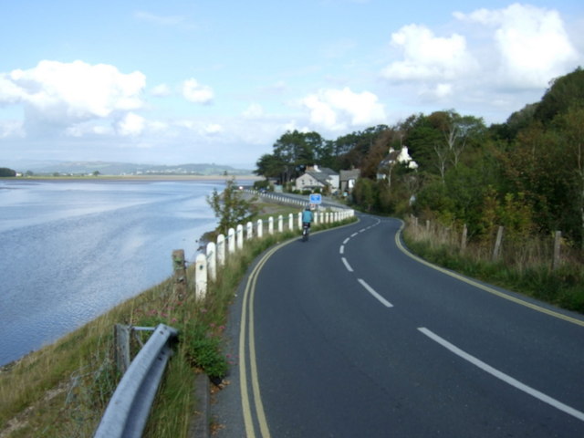
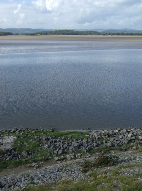
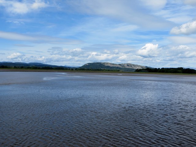
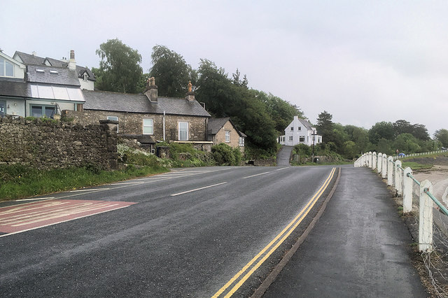
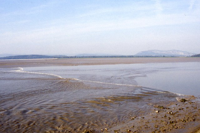
Carr Bank is a small village located in the county of Westmorland, in the North West of England. Situated amidst the picturesque landscape of the Lake District National Park, Carr Bank is known for its stunning natural beauty and tranquil atmosphere.

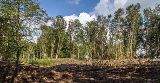
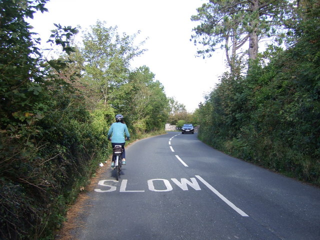
The village is home to a close-knit community, with a population of around 300 residents. The majority of the houses in Carr Bank are traditional stone cottages, adding to the charm and character of the area. The village is surrounded by rolling hills, lush green fields, and meandering streams, offering stunning views and plenty of opportunities for outdoor activities such as hiking and cycling.

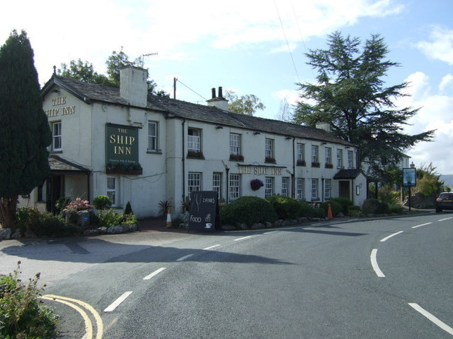
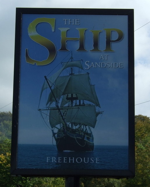
Despite its small size, Carr Bank boasts a few amenities to cater to the needs of its residents. These include a local pub, a primary school, and a village hall, which serves as a hub for community events and gatherings. The village also benefits from excellent transport links, with regular bus services connecting it to nearby towns and cities.

Carr Bank is ideally situated for those seeking a peaceful and idyllic lifestyle, away from the hustle and bustle of urban areas. Its proximity to the Lake District National Park means that residents have easy access to a plethora of outdoor recreational activities, including boating, fishing, and exploring the numerous walking trails.

Overall, Carr Bank embodies the quintessential charm of a rural English village, offering a close-knit community, stunning natural surroundings, and a peaceful way of life.

If you have any feedback on the listing, please let us know in the comments section below.
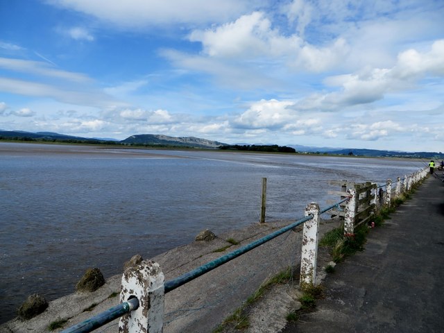
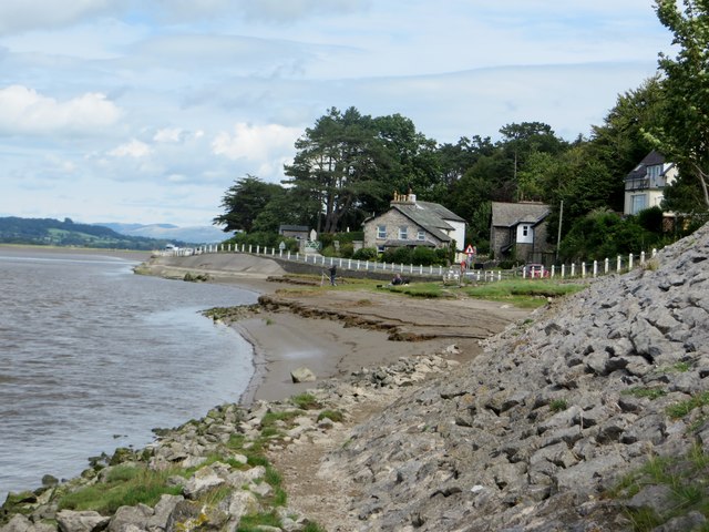
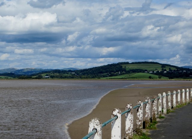
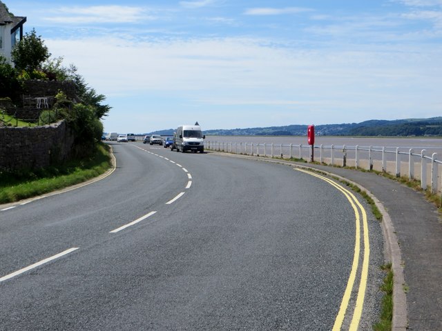
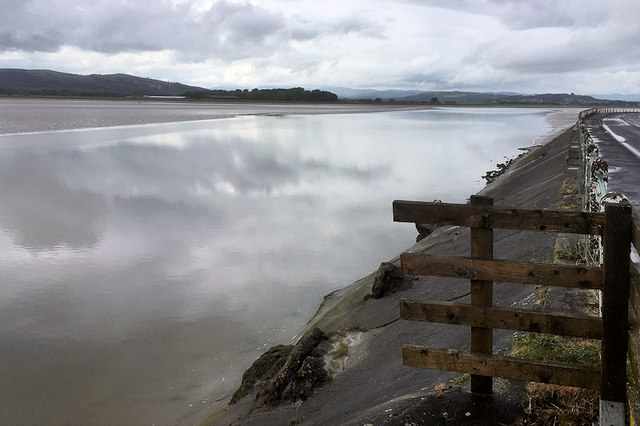
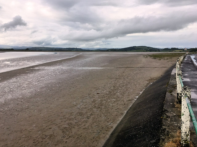
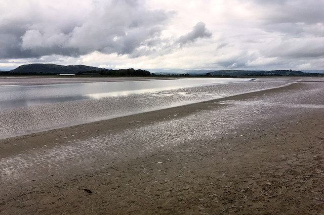
Carr Bank Images

Images are sourced within 2km of 54.202673/-2.810935 or Grid Reference SD4778. Thanks to Geograph Open Source API. All images are credited.

Wray Cottages Visible after the felling of trees.
Wray Cottages
Visible after the felling of trees.
The Ship Inn, Sandside
Sign for the Ship Inn, Sandside
Cycling on Park Road (B5282) Heading north east.
Cycling on Park Road (B5282)
Heading north east.
Dropping down on the coastal road into Sandside Heading north east.
Dropping down on the coastal road into Sandside
Heading north east.
Kent Channel and Milnthorpe Sands
Possible ruined lime kiln, woods west of Haverbrack At first I thought that this hole just west of the footpath might be a natural cave or mine working. A peek inside revealed rough masonry which I took to be the remnants of an old kiln.
Possible ruined lime kiln, woods west of Haverbrack
At first I thought that this hole just west of the footpath might be a natural cave or mine working. A peek inside revealed rough masonry which I took to be the remnants of an old kiln.
Incoming tide at Milnthorpe Sands The tide travels quickly up the funnel created by Morecambe Bay.
Incoming tide at Milnthorpe Sands
The tide travels quickly up the funnel created by Morecambe Bay.
Milnthorpe Sands Tidal waters sweep up the estuary.
Milnthorpe Sands
Tidal waters sweep up the estuary.
At the water's edge Milnthorpe Sands as the tide rushes up the estuary.
At the water's edge
Milnthorpe Sands as the tide rushes up the estuary.
The Kent estuary At Sandside.
The Kent estuary
At Sandside.
Coastal Road at Sandside The B5282, looking south.
Coastal Road at Sandside
The B5282, looking south.
Coastal Road at Storth
River Kent at Storth
Milnthorpe Sands at Sandside
Kent Estuary, Milnthorpe Sands
River Kent at Storth
Tidal bore on River Kent at Sandside The tidal bore occurs on the River Kent about 2 hours prior to the high tide time at Arnside
Tidal bore on River Kent at Sandside
The tidal bore occurs on the River Kent about 2 hours prior to the high tide time at Arnside
Show me another place!

Carr Bank is located at Grid Ref: SD4778 (Lat: 54.202673, Lng: -2.810935)

Administrative County: Cumbria

District: South Lakeland

Police Authority: Cumbria

What 3 Words

///copying.blogging.compliant. Near Arnside, Cumbria

Related Wikis

Carr Bank

Carr Bank is a small hamlet near Arnside, Cumbria, England. It is in the civil parish of Beetham in South Lakeland local government district. == References... ==

Hazelslack

Hazelslack is a hamlet in the South Lakeland district, in the English county of Cumbria. It is near the villages of Arnside and Storth. Nearby Hazelslack...

Limestone Link (Cumbria)

The Limestone Link is a waymarked footpath in South Lakeland, Cumbria, England, connecting Arnside and Kirkby Lonsdale, a distance of 13 miles (21 km)...

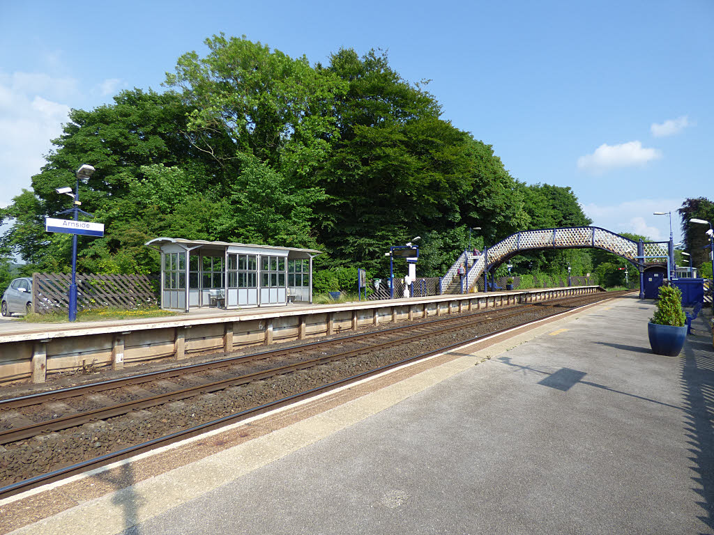
Arnside railway station

Arnside is a railway station on the Furness Line, which runs between Barrow-in-Furness and Lancaster. The station, situated 12+1⁄4 miles (20 km) north...

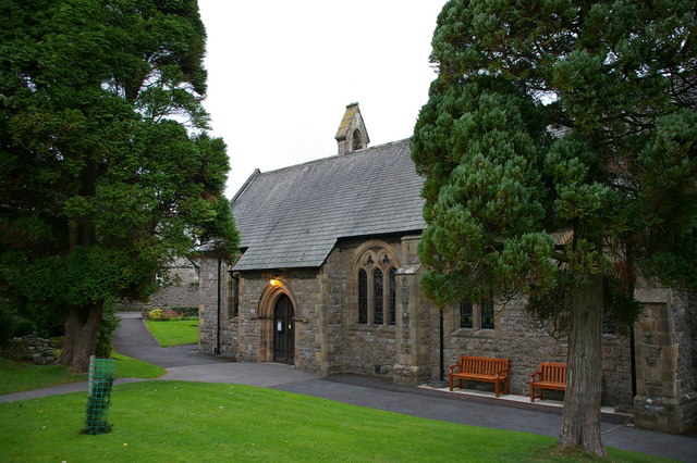
St James' Church, Arnside

St James' Church is in the village of Arnside, Cumbria, England. It is an active Anglican parish church in the deanery of Kendal, the archdeaconry of...

Arnside

Arnside is a village and civil parish in Cumbria, historically part of Westmorland, near the border with Lancashire, England. The Lake District National...

Dog Hole Cave

Dog Hole Cave is an archaeologically significant cave near Storth, Cumbria, England. Other names for the cave include Haverbrack Bank Pot, Haverbrack Dog...

Storth

Storth is a village near Arnside in Cumbria, England, situated near the border with Lancashire. It is in the historic county of Westmorland. The village...

Nearby Amenities

Located within 500m of 54.202673,-2.810935
Post Box
Collection Times: Mo-Fr 16:45; Sa 10:30
Drive Through: no
Post Box Type: lamp
Ref: LA7 233
Lat/Long: 54.2028274/-2.808651
Power: pole
Lat/Long: 54.1991541/-2.8152975
Power: pole
Lat/Long: 54.1993958/-2.8139296
Power: pole
Lat/Long: 54.1998053/-2.8131196
Power: pole
Lat/Long: 54.2002132/-2.8122801
Power: pole
Lat/Long: 54.2008173/-2.8111589
Power: pole
Lat/Long: 54.2008596/-2.8097668
Power: pole
Lat/Long: 54.2009177/-2.8077713
Power: pole
Lat/Long: 54.201721/-2.8064597
Power: pole
Lat/Long: 54.2025211/-2.8050596
Power: pole
Lat/Long: 54.2032302/-2.8039733
Bench
Backrest: yes
Lat/Long: 54.2028578/-2.8086603
Give Way
Direction: backward
Lat/Long: 54.2027381/-2.8086998
Barrier: stile
Lat/Long: 54.2007569/-2.8100632
Barrier: stile
Lat/Long: 54.2007827/-2.8097655
Barrier: stile
Lat/Long: 54.2023167/-2.8050263
Power: pole
Lat/Long: 54.203919/-2.8161773
Power: pole
Lat/Long: 54.2030812/-2.8170624
Power: pole
Lat/Long: 54.2022528/-2.8179422
Generator Method: solar_thermal
Generator Orientation: south_east
Generator Output Hot Water: yes
Generator Solar Modules: 2
Generator Source: solar
Generator Type: solar_thermal_collector
Location: roof
Power: generator
Lat/Long: 54.2069366/-2.8087024
Generator Method: photovoltaic
Generator Orientation: south_east
Generator Output Electricity: yes
Generator Solar Modules: 14
Generator Source: solar
Generator Type: solar_photovoltaic_panel
Location: roof
Power: generator
Lat/Long: 54.2051341/-2.8097855
Generator Method: photovoltaic
Generator Orientation: north_east
Generator Output Electricity: yes
Generator Solar Modules: 4
Generator Source: solar
Generator Type: solar_photovoltaic_panel
Location: roof
Power: generator
Lat/Long: 54.2050998/-2.8098514
Generator Method: photovoltaic
Generator Orientation: west
Generator Output Electricity: yes
Generator Solar Modules: 5
Generator Source: solar
Generator Type: solar_photovoltaic_panel
Location: roof
Power: generator
Lat/Long: 54.2050393/-2.8093838
Generator Method: photovoltaic
Generator Orientation: south
Generator Output Electricity: yes
Generator Solar Modules: 2
Generator Source: solar
Generator Type: solar_photovoltaic_panel
Location: roof
Power: generator
Lat/Long: 54.2050087/-2.8092949
Generator Method: photovoltaic
Generator Orientation: east
Generator Output Electricity: yes
Generator Solar Modules: 10
Generator Source: solar
Generator Type: solar_photovoltaic_panel
Location: roof
Power: generator
Lat/Long: 54.1985623/-2.810904
Barrier: stile
Lat/Long: 54.2024067/-2.8049951
Information: guidepost
Tourism: information
Lat/Long: 54.202452/-2.8050339
Power: pole
Lat/Long: 54.1992144/-2.8114433
Power: pole
Lat/Long: 54.2000734/-2.8122702
Power: pole
Lat/Long: 54.2003255/-2.8122927
Power: pole
Lat/Long: 54.2010158/-2.8121674
Power: pole
Lat/Long: 54.2017839/-2.811997
Power: pole
Lat/Long: 54.2028113/-2.8118317
Power: pole
Lat/Long: 54.2038314/-2.8116638
Power: pole
Lat/Long: 54.2055373/-2.8144301
Power: pole
Lat/Long: 54.2049218/-2.8134253
Power: pole
Lat/Long: 54.2042051/-2.8122802
Power: pole
Lat/Long: 54.2033829/-2.8106289
Power: pole
Lat/Long: 54.2029417/-2.809594
Power: pole
Lat/Long: 54.2047137/-2.8152921
Power: pole
Lat/Long: 54.2062056/-2.8136057
Power: pole
Lat/Long: 54.2068534/-2.8127638
The data included in this document is from www.openstreetmap.org. The data is made available under ODbL.

Have you been to Carr Bank?

Leave your review of Carr Bank below (or comments, questions and feedback).