Tarn Close Wood

Wood, Forest in Westmorland South Lakeland

England

Tarn Close Wood

Wray Cottages Visible after the felling of trees.
Wray Cottages Credit: Peter McDermott

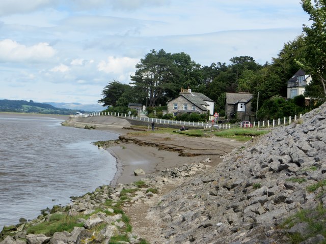
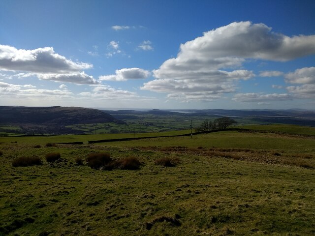
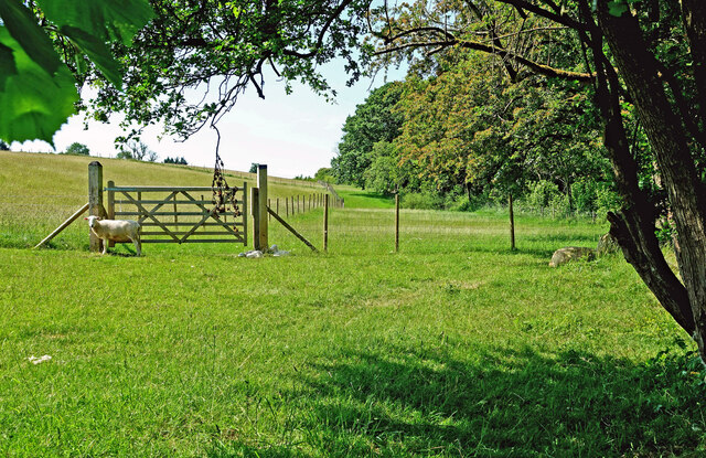
Tarn Close Wood is a picturesque forest located in the county of Westmorland, England. This wood is situated near the village of Westmorland, surrounded by rolling hills and offering stunning views of the surrounding countryside. Covering an area of approximately 50 acres, Tarn Close Wood is home to a diverse range of flora and fauna, making it an ideal destination for nature lovers and outdoor enthusiasts.

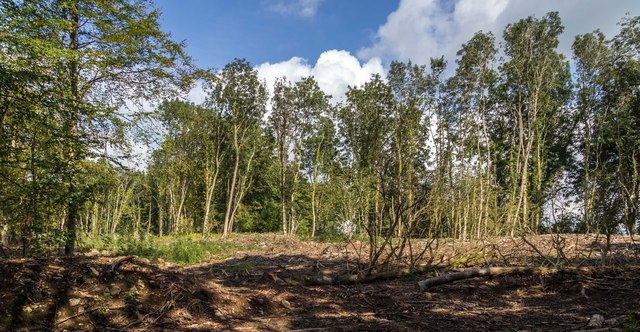
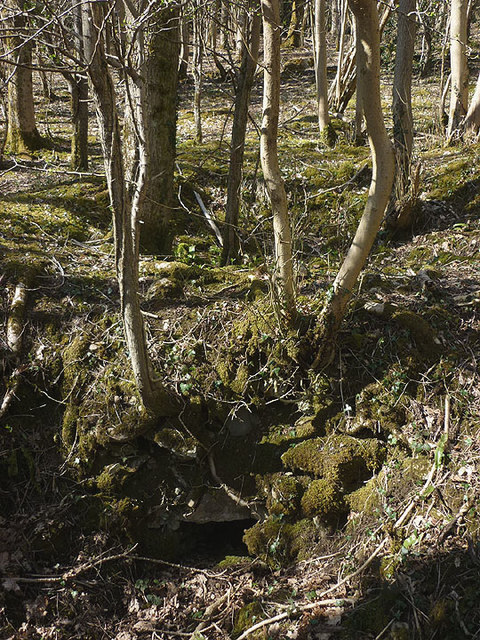
The wood is characterized by its dense canopy of towering trees, including oak, ash, and beech, which provide shelter and habitat for a variety of woodland creatures. The forest floor is adorned with a colorful carpet of bluebells in spring, creating a magical and enchanting atmosphere.

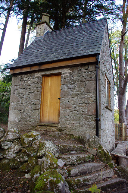
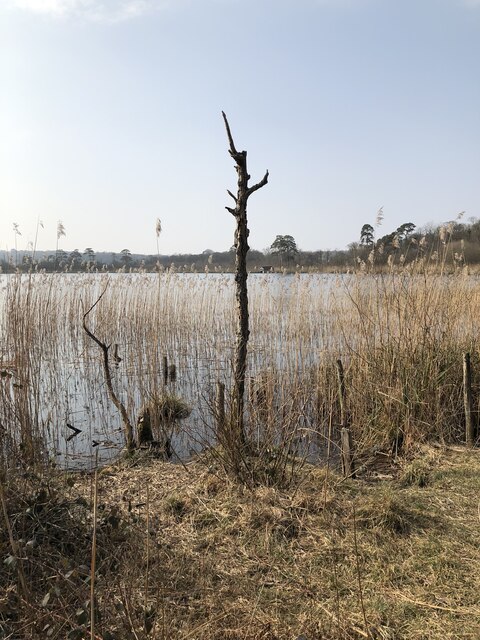
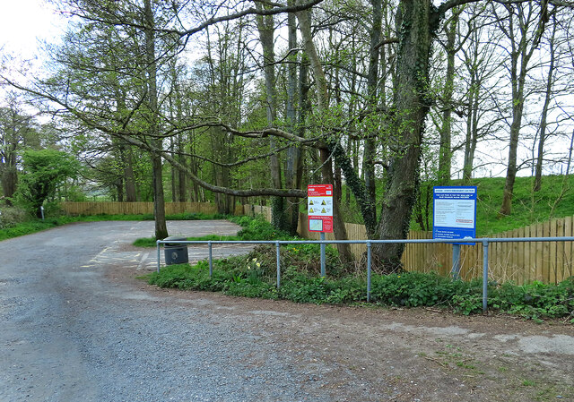
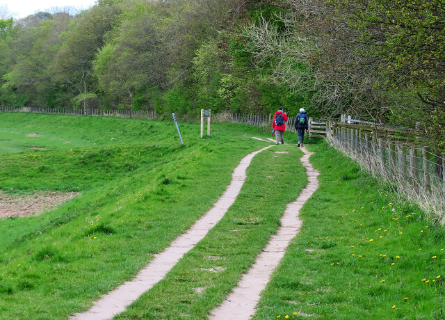
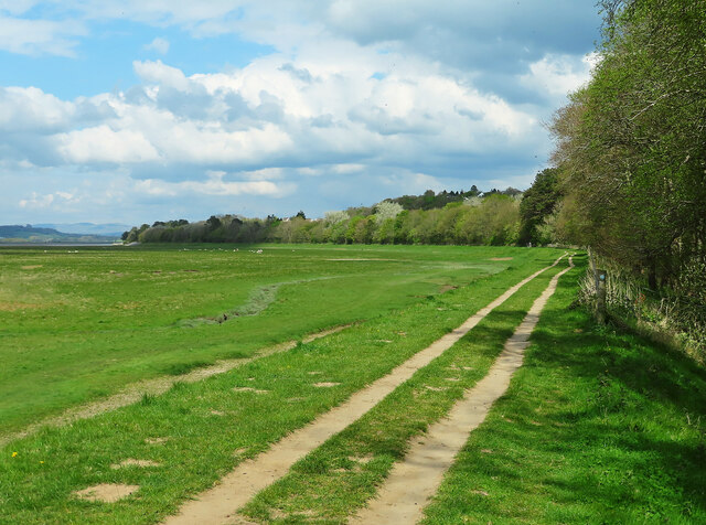
Several walking trails wind their way through Tarn Close Wood, providing visitors with an opportunity to explore the natural beauty of the area. These paths lead to a tranquil tarn, a small lake nestled within the forest, which adds to the charm and serenity of the wood.

Tarn Close Wood is also a popular spot for birdwatching, with a range of species such as woodpeckers, tits, and thrushes calling the forest their home. Additionally, the wood attracts various mammals, including deer, badgers, and squirrels, offering a chance to observe these creatures in their natural habitat.

Overall, Tarn Close Wood is a haven of tranquility and natural beauty, offering visitors the chance to immerse themselves in the peacefulness of the forest while enjoying the stunning scenery and abundant wildlife that it has to offer.

If you have any feedback on the listing, please let us know in the comments section below.

Tarn Close Wood Images

Images are sourced within 2km of 54.19885/-2.8022428 or Grid Reference SD4778. Thanks to Geograph Open Source API. All images are credited.

Wray Cottages Visible after the felling of trees.
Wray Cottages
Visible after the felling of trees.
Cycling on Park Road (B5282) Heading north east.
Cycling on Park Road (B5282)
Heading north east.
Dropping down on the coastal road into Sandside Heading north east.
Dropping down on the coastal road into Sandside
Heading north east.
Possible ruined lime kiln, woods west of Haverbrack At first I thought that this hole just west of the footpath might be a natural cave or mine working. A peek inside revealed rough masonry which I took to be the remnants of an old kiln.
Possible ruined lime kiln, woods west of Haverbrack
At first I thought that this hole just west of the footpath might be a natural cave or mine working. A peek inside revealed rough masonry which I took to be the remnants of an old kiln.
At the water's edge Milnthorpe Sands as the tide rushes up the estuary.
At the water's edge
Milnthorpe Sands as the tide rushes up the estuary.
Summer House, Hawes Water On the Gait Barrows National Nature Reserve. Restored in 2020 using authentic materials and incorporating bat-friendly features. Also see <a href="https://www.geograph.org.uk/photo/6905993">SD4776 : Cabin at Hawes Water</a> (2021), <a href="https://www.geograph.org.uk/photo/6627450">SD4776 : Attractive to Hansel and Gretel ?</a> (2020) and <a href="https://www.geograph.org.uk/photo/4384183">SD4776 : Ruined building by Hawes Water</a> (2015).
Summer House, Hawes Water
On the Gait Barrows National Nature Reserve. Restored in 2020 using authentic materials and incorporating bat-friendly features. Also see SD4776 : Cabin at Hawes Water (2021), SD4776 : Attractive to Hansel and Gretel ? (2020) and SD4776 : Ruined building by Hawes Water (2015).
View towards Silverdale from Scout Hill
Hawes Water The small marl lake is a SSSI. Info from Wiki here: <span class="nowrap"><a title="https://en.wikipedia.org/wiki/Hawes_Water_(Silverdale)" rel="nofollow ugc noopener" href="https://en.wikipedia.org/wiki/Hawes_Water_(Silverdale)">Link</a><img style="margin-left:2px;" alt="External link" title="External link - shift click to open in new window" src="https://s1.geograph.org.uk/img/external.png" width="10" height="10"/></span>
Hawes Water
The small marl lake is a SSSI. Info from Wiki here: LinkExternal link
Arnside–Storth Embankment Car Park For the sole use of Disabled Blue Badge holders.
Arnside–Storth Embankment Car Park
For the sole use of Disabled Blue Badge holders.
Walking on the Arnside–Storth embankment This is a concessionary footpath where walkers are asked to keep to the track and have all dogs on leads.
Walking on the Arnside–Storth embankment
This is a concessionary footpath where walkers are asked to keep to the track and have all dogs on leads.
Footpath on the Arnside–Storth embankment This is a concessionary footpath where walkers are asked to keep to the track and have all dogs on leads.
Footpath on the Arnside–Storth embankment
This is a concessionary footpath where walkers are asked to keep to the track and have all dogs on leads.
The Kent estuary at Arnside Viewed from the footpath along the embankment on a bright late-April afternoon.
The Kent estuary at Arnside
Viewed from the footpath along the embankment on a bright late-April afternoon.
Walkers at Arnside A few walkers were making use of the embankment path on this unexpectedly bright April afternoon.
Walkers at Arnside
A few walkers were making use of the embankment path on this unexpectedly bright April afternoon.
Footpath to Gait Barrows NNR There’s no parking space at this entrance but vehicles can access a little further up the road.
Footpath to Gait Barrows NNR
There’s no parking space at this entrance but vehicles can access a little further up the road.
Forestry access road The track leads to the edge of Silverdale Moss.
Forestry access road
The track leads to the edge of Silverdale Moss.
Leaving Lancashire The road sign on Cold Well Lane marks the boundary between Lancashire and Cumbria.
Leaving Lancashire
The road sign on Cold Well Lane marks the boundary between Lancashire and Cumbria.
On the edge of Back Wood An early-June view.
On the edge of Back Wood
An early-June view.
Track leading into Gait Barrows NNR Viewed from Brackenthwaite Road on a bright early-June morning.
Track leading into Gait Barrows NNR
Viewed from Brackenthwaite Road on a bright early-June morning.
Show me another place!

Tarn Close Wood is located at Grid Ref: SD4778 (Lat: 54.19885, Lng: -2.8022428)

Administrative County: Cumbria

District: South Lakeland

Police Authority: Cumbria

What 3 Words

///obligated.bulk.aimless. Near Arnside, Cumbria

Related Wikis

Nearby Amenities

Located within 500m of 54.19885,-2.8022428
Power: pole
Lat/Long: 54.2009177/-2.8077713
Power: pole
Lat/Long: 54.201721/-2.8064597
Power: pole
Lat/Long: 54.2025211/-2.8050596
Power: pole
Lat/Long: 54.2032302/-2.8039733
Barrier: stile
Lat/Long: 54.2023167/-2.8050263
Barrier: stile
Lat/Long: 54.2024067/-2.8049951
Information: guidepost
Tourism: information
Lat/Long: 54.202452/-2.8050339
The data included in this document is from www.openstreetmap.org. The data is made available under ODbL.

Have you been to Tarn Close Wood?

Leave your review of Tarn Close Wood below (or comments, questions and feedback).