Staveley Head Fell
Downs, Moorland in Westmorland South Lakeland
England
Staveley Head Fell
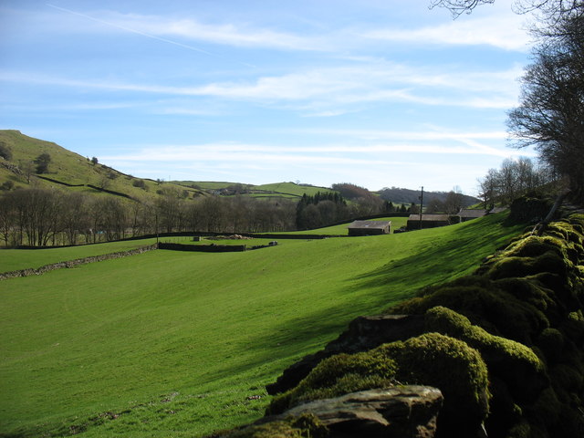
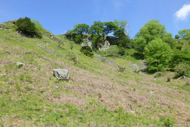
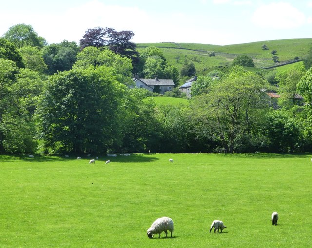
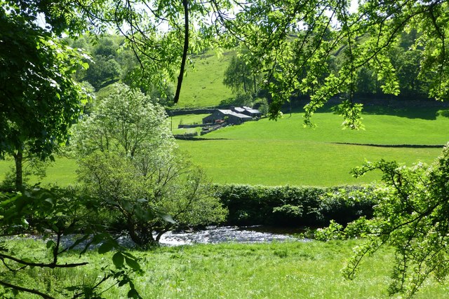
Staveley Head Fell is a picturesque and rugged area located in Westmorland, a historic county in the northwestern part of England. Situated amidst the stunning landscape of the Lake District National Park, this area is renowned for its natural beauty and diverse terrain. Staveley Head Fell is characterized by its mix of downs and moorland, providing visitors with a unique and varied experience.
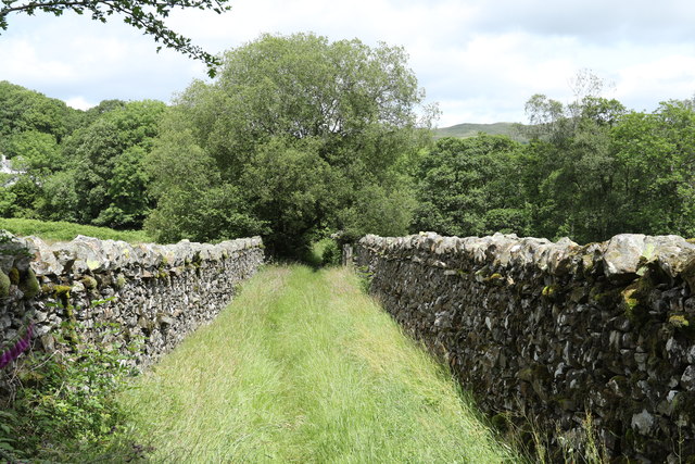
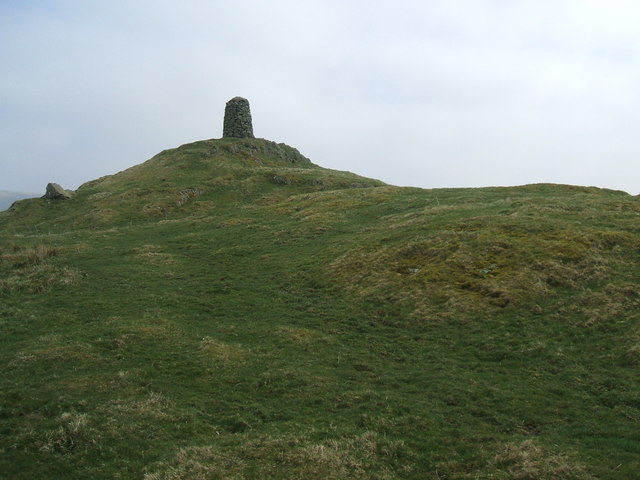
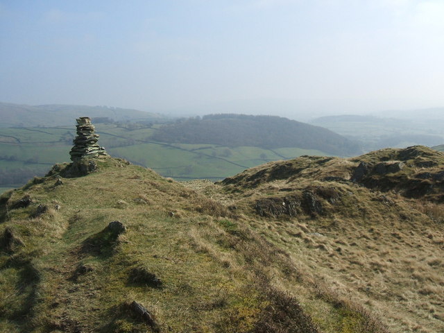
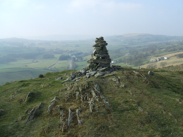
The downs of Staveley Head Fell offer rolling hills and expansive fields, providing breathtaking panoramic views of the surrounding countryside. These open spaces are perfect for walking, picnicking, or simply enjoying the tranquility of the area. The downs are also home to a diverse range of wildlife, including various species of birds and small mammals.
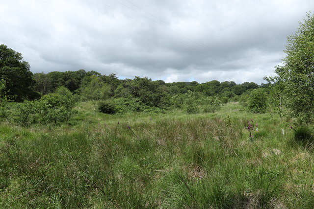
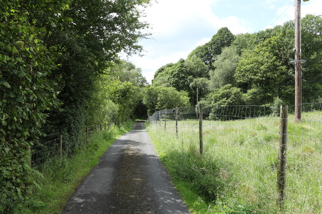
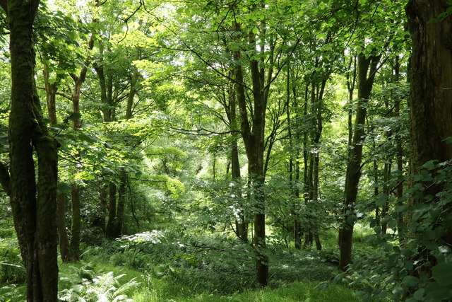
In contrast, the moorland areas of Staveley Head Fell are characterized by their rugged and wild nature. Covered in heather and grasses, the moors create a dramatic and atmospheric backdrop for outdoor enthusiasts. Hikers and nature lovers can explore the vast network of trails that crisscross the moorland, taking in the stunning vistas and perhaps catching a glimpse of the iconic red deer that roam the area.
Staveley Head Fell is a popular destination for outdoor activities such as hiking, birdwatching, and photography. It offers a peaceful and unspoiled environment, providing visitors with a true escape from the hustle and bustle of everyday life. Whether you are an avid hiker seeking a challenging adventure or simply looking for a serene place to unwind, Staveley Head Fell is sure to captivate and inspire.
If you have any feedback on the listing, please let us know in the comments section below.
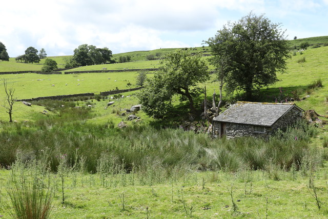
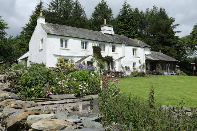
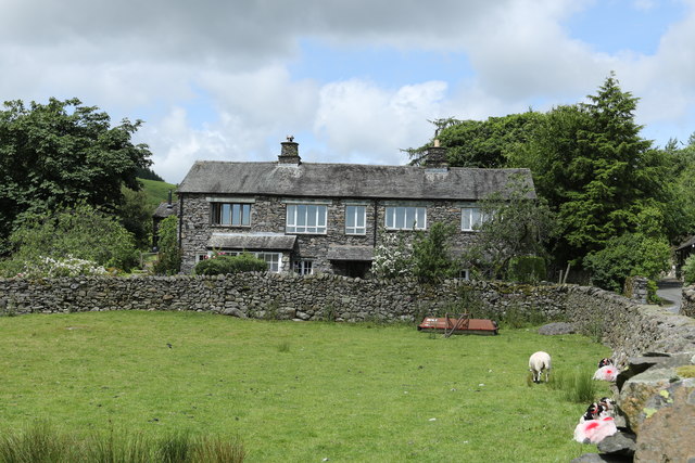
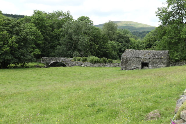
Staveley Head Fell Images
Images are sourced within 2km of 54.405341/-2.817654 or Grid Reference NY4701. Thanks to Geograph Open Source API. All images are credited.


Staveley Head Fell is located at Grid Ref: NY4701 (Lat: 54.405341, Lng: -2.817654)
Administrative County: Cumbria
District: South Lakeland
Police Authority: Cumbria
What 3 Words
///words.savers.eased. Near Staveley, Cumbria
Nearby Locations
Related Wikis

Potter Fell
Potter Fell is a fell near the villages of Burneside and Staveley, Cumbria, England, reaching a maximum height of 1,400 feet (430 m) at Brunt Knott. Alfred...
High Knott
High Knott, marked on some Ordnance Survey maps as Williamson's Monument, is a hill in the eastern part of the English Lake District, near Staveley, Cumbria...
Hugill Fell
Hugill Fell is a hill in the English Lake District, near Staveley, Cumbria, on the western side of the Kentmere valley. The Database of British and Irish...

Green Quarter Fell
Green Quarter Fell is an upland area in the east of the English Lake District, near Kentmere village, Cumbria. It is the subject of a chapter of Wainwright...
Reston Scar
Reston Scar is a fell in the Lake District of Cumbria, England. With a height of 837 feet (255 m), it overlooks the north side of Staveley village, and...
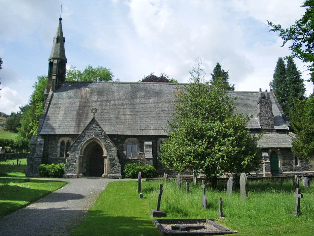
St James' Church, Staveley
St James' Church, Staveley is a Grade II listed parish church in the Church of England in Staveley, Cumbria. Its benefice is united with that of St Martin...

Over Staveley
Over Staveley is a civil parish in South Lakeland, Cumbria, England. The parish comprises most of the village of Staveley north of the River Gowan, and...

Kentmere
Kentmere is a valley, village and civil parish in the Lake District National Park, a few miles from Kendal in the Westmorland and Furness district of Cumbria...
Nearby Amenities
Located within 500m of 54.405341,-2.817654Have you been to Staveley Head Fell?
Leave your review of Staveley Head Fell below (or comments, questions and feedback).