Poplar Wood

Downs, Moorland in Herefordshire

England

Poplar Wood

B4348 The B4348 near Tram Inn.
B4348 Credit: Ian Capper

Poplar Wood is a scenic and tranquil area located in Herefordshire, England. It is nestled within the picturesque landscape of the Downs and Moorland region, offering visitors a unique experience of natural beauty and tranquility.

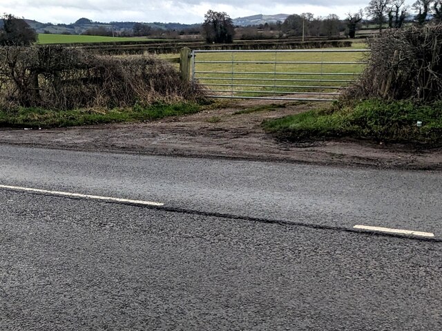
Covering an area of approximately 500 acres, Poplar Wood is primarily composed of poplar trees, which give the area its name. These tall and slender trees create a dense canopy, providing shade and shelter for a diverse range of flora and fauna. The wood is home to various species of wildlife, including deer, foxes, and a variety of bird species, making it a popular destination for nature lovers and birdwatchers.

The wood is crisscrossed with a network of well-maintained walking trails, allowing visitors to explore the area at their own pace. These trails offer breathtaking views of the surrounding countryside, with rolling hills and meandering streams adding to the charm of the landscape.

In addition to its natural beauty, Poplar Wood also boasts historical significance. The wood is believed to have been used as a source of timber for centuries, and remnants of old sawmills can still be found within its boundaries. This rich history adds a layer of intrigue and fascination to the area, making it an appealing destination for history enthusiasts as well.

Overall, Poplar Wood in Herefordshire offers a peaceful retreat from the hustle and bustle of daily life. Its lush vegetation, diverse wildlife, and historical significance make it a must-visit destination for anyone seeking a connection with nature and a glimpse into the region's past.

If you have any feedback on the listing, please let us know in the comments section below.

Poplar Wood Images

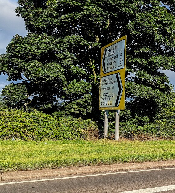
Images are sourced within 2km of 52.008734/-2.7740944 or Grid Reference SO4634. Thanks to Geograph Open Source API. All images are credited.

B4348 The B4348 near Tram Inn.
B4348
The B4348 near Tram Inn.
B4348 The B4348 near Tram Inn.
B4348
The B4348 near Tram Inn.
Allensmore Nurseries Looking across a field to glasshouses at Allensmore Nurseries, a large wholesale plant nursery near Tram Inn.  The silos beyond are for the Cargill (formerly Sun Valley) feed mill, producing chicken feed.
Allensmore Nurseries
Looking across a field to glasshouses at Allensmore Nurseries, a large wholesale plant nursery near Tram Inn. The silos beyond are for the Cargill (formerly Sun Valley) feed mill, producing chicken feed.
Lock's Garage Petrol station and general store on the A465 by its junction with the B4348.
Lock's Garage
Petrol station and general store on the A465 by its junction with the B4348.
Farmland near Callow
Three Horseshoes Inn, Allensmore, Herefordshire Set back from the B4348.
Three Horseshoes Inn, Allensmore, Herefordshire
Set back from the B4348.
Three Horseshoes Inn name sign, Allensmore, Herefordshire Alongside the B4348 a few metres from the inn. <a title="https://www.geograph.org.uk/photo/7392887" href="https://www.geograph.org.uk/photo/7392887">Link</a>
Three Horseshoes Inn name sign, Allensmore, Herefordshire
Alongside the B4348 a few metres from the inn. Link
SE along the B4348, Allensmore, Herefordshire Towards the A465 junction.
SE along the B4348, Allensmore, Herefordshire
Towards the A465 junction.
7-bar field gate, Allensmore Set back from the B4348 in rural Herefordshire.
7-bar field gate, Allensmore
Set back from the B4348 in rural Herefordshire.
End of the 40 zone, Allensmore, Herefordshire On the approach to the A465 junction, the 40mph speed 
limit on the B4348 increases to the National Speed Limit.
End of the 40 zone, Allensmore, Herefordshire
On the approach to the A465 junction, the 40mph speed limit on the B4348 increases to the National Speed Limit.
Pump 16, Allensmore, Herefordshire Shell pump in Lock's Garage Filling Station located 
alongside the B4348 near the A465 junction (ahead).
Pump 16, Allensmore, Herefordshire
Shell pump in Lock's Garage Filling Station located alongside the B4348 near the A465 junction (ahead).
JWA cabin, Allensmore, Herefordshire John Watkins Automotive Ltd cabin located alongside the B4348 near 
the A465 junction. Text in view in January 2023 includes 
"MOTOR REPAIRS & REFINISHERS". The business's main premises
are nearby, in the Lock's Garage site.
JWA cabin, Allensmore, Herefordshire
John Watkins Automotive Ltd cabin located alongside the B4348 near the A465 junction. Text in view in January 2023 includes "MOTOR REPAIRS & REFINISHERS". The business's main premises are nearby, in the Lock's Garage site.
Warning notice, Allensmore, Herefordshire The notice on a wall of Lock's Garage shows
"WARNING 
For Motor Vehicle Tyres Only.
Misuse Of Compressed Air
Is Dangerous
No Bicycles, Toys, Dinghies Or
Similar Inflatables Allowed.
Not for use Unsupervised 
by Anyone under 18yrs.
Machine is Set for A Maximum
Pressure Of: 150 P.S.I. 11 bar
Replace Hose After Use!"

The use of initial capital letters is non-standard.
Warning notice, Allensmore, Herefordshire
The notice on a wall of Lock's Garage shows "WARNING For Motor Vehicle Tyres Only. Misuse Of Compressed Air Is Dangerous No Bicycles, Toys, Dinghies Or Similar Inflatables Allowed. Not for use Unsupervised by Anyone under 18yrs. Machine is Set for A Maximum Pressure Of: 150 P.S.I. 11 bar Replace Hose After Use!" The use of initial capital letters is non-standard.
Waitrose home delivery van, Allensmore, Herefordshire Under the canopy over Shell Diesel pumps 14 and 15
at Lock's Garage Filling Station set back from the B4348.
Waitrose home delivery van, Allensmore, Herefordshire
Under the canopy over Shell Diesel pumps 14 and 15 at Lock's Garage Filling Station set back from the B4348.
Locked toilet door, Allensmore, Herefordshire The notice on the Lock's Garage toilet door shows
FOR ACCESS PLEASE SEE MEMBER OF STAFF TO UNLOCK.
THANK YOU.
Locked toilet door, Allensmore, Herefordshire
The notice on the Lock's Garage toilet door shows FOR ACCESS PLEASE SEE MEMBER OF STAFF TO UNLOCK. THANK YOU.
B4348 direction and distances sign alongside the A465, Allensmore, Herefordshire Left ahead on the B4348 for Hay-on-Wye via Thruxton (2 (miles) ), Kingstone (2½), Peterchurch (8). 
Right for Abergavenny (avoiding low bridge) via Much Dewchurch (3), Wormelow (4).
B4348 direction and distances sign alongside the A465, Allensmore, Herefordshire
Left ahead on the B4348 for Hay-on-Wye via Thruxton (2 (miles) ), Kingstone (2½), Peterchurch (8). Right for Abergavenny (avoiding low bridge) via Much Dewchurch (3), Wormelow (4).
Allensmore Nurseries West Nursery sign, Herefordshire In August 2023 text on the sign on the north side of the B4348 includes
"All visitors please report to main Nursery over railway crossing"
and "STRICTLY TRADE ONLY".
Allensmore Nurseries West Nursery sign, Herefordshire
In August 2023 text on the sign on the north side of the B4348 includes "All visitors please report to main Nursery over railway crossing" and "STRICTLY TRADE ONLY".
Entrance to Allensmore Nurseries West Nursery From the north side of the B4348 in rural Herefordshire.
Entrance to Allensmore Nurseries West Nursery
From the north side of the B4348 in rural Herefordshire.
Show me another place!

Poplar Wood is located at Grid Ref: SO4634 (Lat: 52.008734, Lng: -2.7740944)

Unitary Authority: County of Herefordshire

Police Authority: West Mercia

What 3 Words

///vocal.works.novels. Near Callow, Herefordshire

Nearby Locations

Poplar Wood

Related Wikis

Tram Inn railway station

Tram Inn railway station was a station to the east of Thruxton, Herefordshire, England. It was named after a local public house, itself named after a tramway...

Allensmore

Allensmore is a village in Herefordshire, England. It is located on the A465 road about 4 miles (6 km) south-west of Hereford. The church is dedicated...

Dewsall

Dewsall is a civil parish in south Herefordshire, England, approximately 4 miles (6 km) south from the city and county town of Hereford. The nearest market...

Haywood, Herefordshire

Haywood is a civil parish in Herefordshire, England, and south-west of Hereford. Parish population at the 2011 census was 216. There are no substantial...

Nearby Amenities

Located within 500m of 52.008734,-2.7740944
Barrier: stile
Lat/Long: 52.0106572/-2.7800891
Coed Moor Level Crossing
Railway: crossing
Lat/Long: 52.0070645/-2.7790509
Coed Moor Level Crossing
Railway: crossing
Lat/Long: 52.0070798/-2.7790974
Barrier: stile
Lat/Long: 52.0074228/-2.7736903
Barrier: cattle_grid
Lat/Long: 52.0074096/-2.7750942
The data included in this document is from www.openstreetmap.org. The data is made available under ODbL.

Have you been to Poplar Wood?

Leave your review of Poplar Wood below (or comments, questions and feedback).