Bethecar Moor

Downs, Moorland in Lancashire South Lakeland

England

Bethecar Moor

Coniston Water from the A5084 At last a view of the lake - the A593 does not run alongside and it is not until you head south of Torver on the A5084 that the lake comes into view.
Coniston Water from the A5084 Credit: Eirian Evans

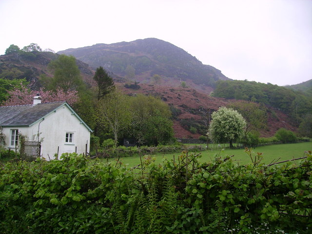
Bethecar Moor is a vast expanse of moorland located in the county of Lancashire, England. Situated in the western part of the county, it covers an area of approximately 10 square miles. The moorland is part of the larger West Pennine Moors, renowned for their natural beauty and rich biodiversity.

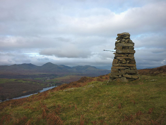
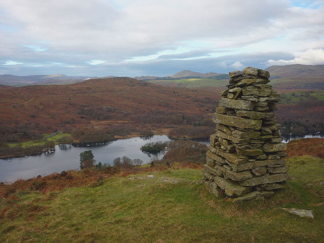
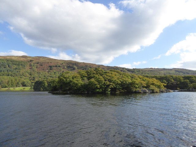
Characterized by undulating hills, heather-covered slopes, and scattered patches of woodland, Bethecar Moor offers breathtaking panoramic views of the surrounding countryside. The landscape is dominated by a mixture of peat bogs, rocky outcrops, and open grassland, creating a diverse habitat for a wide range of plant and animal species.

The moorland is home to several bird species, including the elusive merlin, the iconic red grouse, and the majestic golden plover. Visitors may also spot mammals such as hares, rabbits, and foxes roaming the area. The heather-covered hillsides burst into a vibrant purple hue during the summer months, creating a picturesque backdrop for hikers and nature enthusiasts.

Bethecar Moor is traversed by a network of footpaths and trails, making it a popular destination for outdoor activities such as walking, hiking, and birdwatching. The moorland is also a designated Site of Special Scientific Interest (SSSI), highlighting its ecological significance and importance for conservation.

For those seeking a peaceful and tranquil setting, Bethecar Moor offers a unique opportunity to immerse oneself in the unspoiled beauty of Lancashire's countryside. With its stunning vistas and diverse wildlife, it is a haven for nature lovers and a true gem within the West Pennine Moors.

If you have any feedback on the listing, please let us know in the comments section below.

Bethecar Moor Images

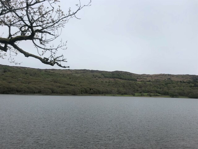
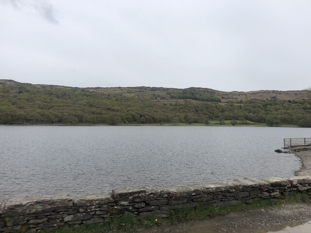
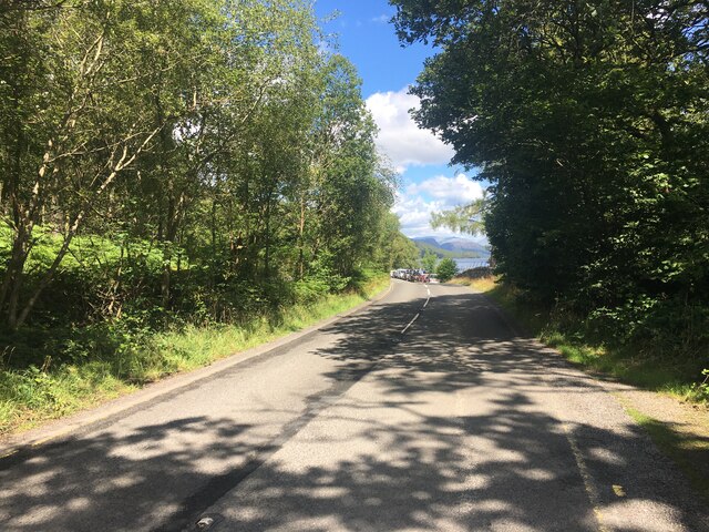
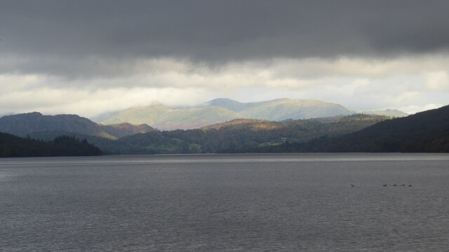
Images are sourced within 2km of 54.310472/-3.0618831 or Grid Reference SD3191. Thanks to Geograph Open Source API. All images are credited.

Coniston Water from the A5084 At last a view of the lake - the A593 does not run alongside and it is not until you head south of Torver on the A5084 that the lake comes into view.
Coniston Water from the A5084
At last a view of the lake - the A593 does not run alongside and it is not until you head south of Torver on the A5084 that the lake comes into view.
Coniston Water Coniston Water is the fifth largest of the lakes, at five miles long, and with a maximum depth of 184 feet. It provided an important fish source for the monks of Furness Abbey who owned the lake and much of the surrounding land in the 13th and 14th Centuries.
Coniston Water
Coniston Water is the fifth largest of the lakes, at five miles long, and with a maximum depth of 184 feet. It provided an important fish source for the monks of Furness Abbey who owned the lake and much of the surrounding land in the 13th and 14th Centuries.
A5084 near Coniston Water
At Low Peel Near, Coniston Water
At Low Peel Near looking up Coniston Water
Coniston Water at Low Peel Near Looking to The Old Man of Coniston
Coniston Water at Low Peel Near
Looking to The Old Man of Coniston
Mountains of  the Fairfield Round Mountains of  the Fairfield Round above Ambleside viewed from Coniston Water.
Mountains of the Fairfield Round
Mountains of the Fairfield Round above Ambleside viewed from Coniston Water.
Coniston Water
Coniston Water
Brock Barrow From High Nibthwaite. Small Crag on the edge of Bethecar Moor
Brock Barrow
From High Nibthwaite. Small Crag on the edge of Bethecar Moor
Cairn on Brock Barrow The best cairn on the smallest hill. Wainwright describes this hill as 'nameless'
Cairn on Brock Barrow
The best cairn on the smallest hill. Wainwright describes this hill as 'nameless'
Cairn on Brock Barrow
The track from High Nibthwaite to Selside
Daleks - Invasion High Nibthwaite 2113 Inspired by the 50th anniversary of Doctor Who we have used a trekking pole to convert this fine cairn on Brock Barrow into one of the galaxy's most feared menaces. Did you really think it was an actual dalek?
Daleks - Invasion High Nibthwaite 2113
Inspired by the 50th anniversary of Doctor Who we have used a trekking pole to convert this fine cairn on Brock Barrow into one of the galaxy's most feared menaces. Did you really think it was an actual dalek?
Brock Barrow cairn and the lower reaches of Coniston Water Looking across the lake to Beacon Fell.
Brock Barrow cairn and the lower reaches of Coniston Water
Looking across the lake to Beacon Fell.
Canoes on Coniston Water
Jetty on Coniston Water
Peel Island, Coniston Water Better known as Wild Cat Island to readers of Arthur Ransome
Peel Island, Coniston Water
Better known as Wild Cat Island to readers of Arthur Ransome
Show me another place!

Bethecar Moor is located at Grid Ref: SD3191 (Lat: 54.310472, Lng: -3.0618831)

Administrative County: Cumbria

District: South Lakeland

Police Authority: Cumbria

What 3 Words

///invents.darkest.funky. Near Windermere, Cumbria

Related Wikis

Top o'Selside

Top o'Selside is a hill in the Lake District in Cumbria, England. At 335 metres (1,099 ft), it is the highest point of the group of hills situated between...

Peel Island, Cumbria

Peel Island (formerly known as Montague Island or the Gridiron) is one of the three islands of Coniston Water in the English Lake District, Cumbria. The...

Nibthwaite

Nibthwaite is a village in the South Lakeland District in the county of Cumbria in the northwest of England. It is in the civil parish of Colton, and on...

North Lonsdale Rural District

North Lonsdale was a rural district in the county of Lancashire, England from 1894 to 1974. It was created in 1894 as the Ulverston Rural District, and...

Nearby Amenities

Located within 500m of 54.310472,-3.0618831
Arnsbarrow Hill
Ele: 322
Natural: peak
Source: OS OpenData StreetView
Lat/Long: 54.3114026/-3.0604934
Ford: yes
Lat/Long: 54.311646/-3.0685907
Ford: yes
Lat/Long: 54.3108951/-3.068471
Ford: yes
Lat/Long: 54.3106684/-3.0662884
Stang Moss
Place: locality
Lat/Long: 54.3081939/-3.0640201
Bethecar Moor
Place: locality
Lat/Long: 54.310871/-3.0602576
Ford: yes
Lat/Long: 54.3137853/-3.064004
Natural: peak
Lat/Long: 54.3081471/-3.0627986
The data included in this document is from www.openstreetmap.org. The data is made available under ODbL.

Have you been to Bethecar Moor?

Leave your review of Bethecar Moor below (or comments, questions and feedback).