Birk Moss

Downs, Moorland in Cumberland Allerdale

England

Birk Moss

On Cumbria Way - Lingy Hut (bothy) on Great Lingy Hill
On Cumbria Way - Lingy Hut (bothy) on Great Lingy Hill Credit: Colin Park

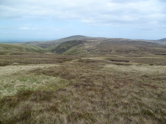
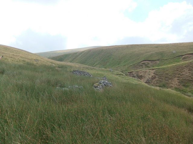
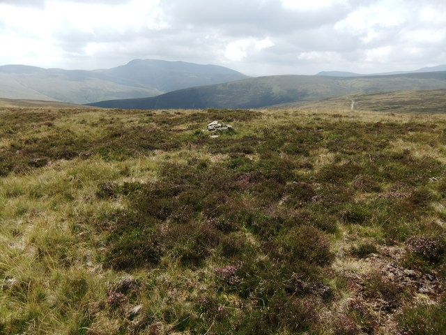
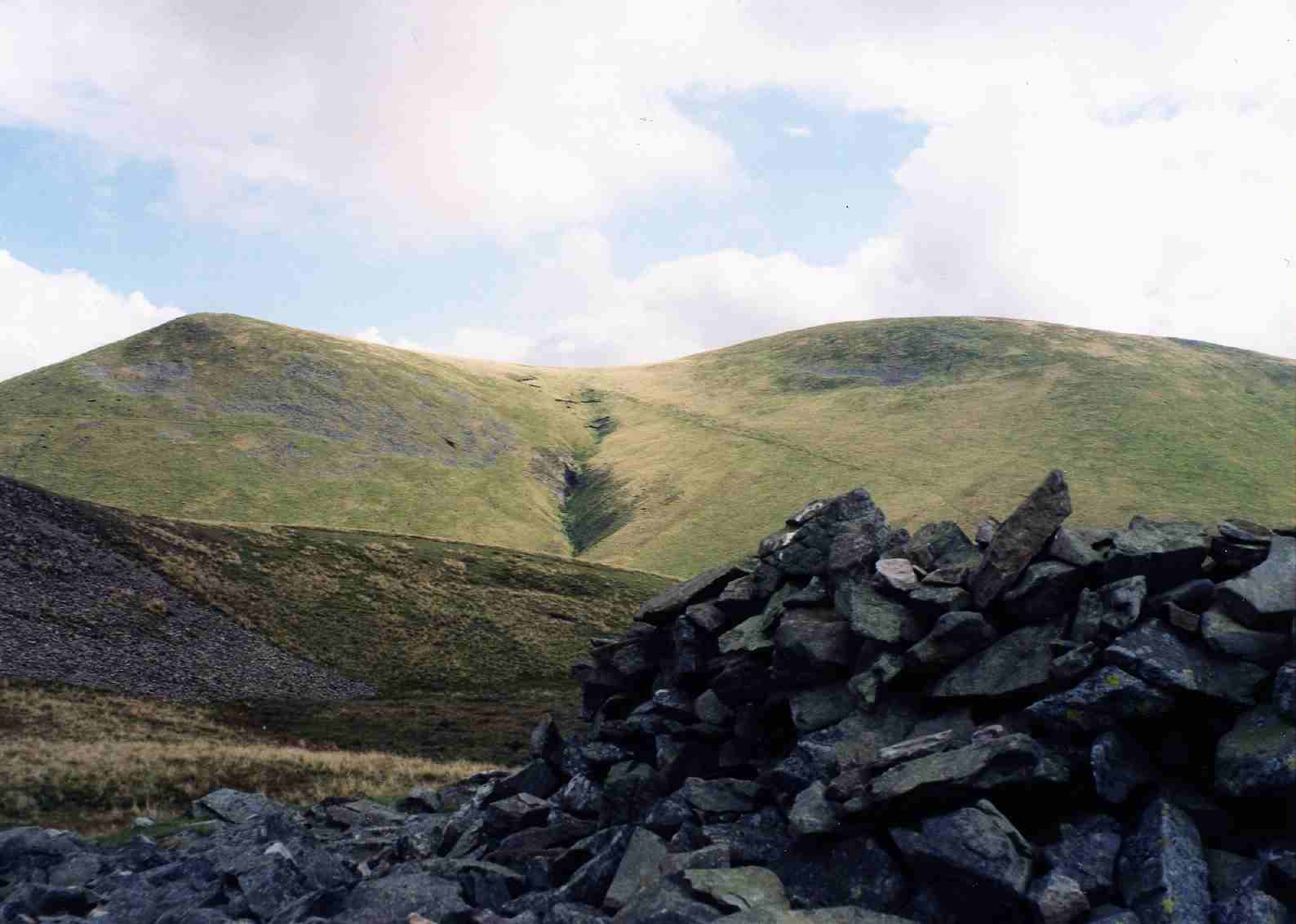
Birk Moss is a prominent natural landmark located in Cumberland, England. Situated in the region known as Downs and Moorland, it is an extensive peat bog with unique ecological features. Covering a vast area, Birk Moss is surrounded by rolling hills and heathland, creating a picturesque landscape.

The moss is characterized by its wet, acidic, and nutrient-poor environment, which supports a specific type of vegetation known as bog flora. This includes various mosses, heathers, and grasses that have adapted to thrive in these challenging conditions. The peat itself is formed by the accumulation of partially decomposed plant material over thousands of years.

Birk Moss plays a significant role in the local ecosystem, providing a habitat for a diverse range of plant and animal species. Many bird species, such as curlews and lapwings, can be found nesting in the area, while reptiles like adders and grass snakes can also be spotted. Insect life is abundant, with dragonflies, damselflies, and various beetles calling the moss their home.

The site is popular among nature enthusiasts and hikers, who can explore the moss via a network of boardwalks and trails. These pathways ensure minimal disturbance to the delicate ecosystem while allowing visitors to appreciate the unique beauty of the area.

Efforts have been made to preserve and protect Birk Moss, recognizing its ecological importance. Conservation initiatives include managing water levels to maintain the bog's integrity and encouraging public education to promote responsible visitation.

Overall, Birk Moss stands as a remarkable example of a peat bog ecosystem in Cumberland's Downs and Moorland region, offering visitors a chance to immerse themselves in the captivating natural surroundings and witness the wonders of this unique habitat.

If you have any feedback on the listing, please let us know in the comments section below.

Birk Moss Images

Images are sourced within 2km of 54.705396/-3.0721154 or Grid Reference NY3135. Thanks to Geograph Open Source API. All images are credited.

On Cumbria Way - Lingy Hut (bothy) on Great Lingy Hill
Trig Point on High Pike near Caldbeck
View over Yard Steel Looking over the Cumbrian Plain beyond.
View over Yard Steel
Looking over the Cumbrian Plain beyond.
Looking north east off Brae Fell Taken from a short distance east of the summit looking across some of the valleys of the gills which flow into the River Eden catchment.
Looking north east off Brae Fell
Taken from a short distance east of the summit looking across some of the valleys of the gills which flow into the River Eden catchment.
Sunlight glints off Roughton Gill Thin cloud just above the summits is catching the sun and making the southern sky very bright ahead of us, with sunlight glinting off both the stream and the wet grass. The track on the right of the photo follows Roughton Gill to old mine workings (mainly for copper and lead) whilst the sunlit spur behind it is Yard Steel, leading up to Great Sca Fell. This area is a Site of Special Scientific interest and whilst many interesting minerals can be seen, any collecting requires a licence with penalties of £200 for casually picking anything up without the required permission.
Sunlight glints off Roughton Gill
Thin cloud just above the summits is catching the sun and making the southern sky very bright ahead of us, with sunlight glinting off both the stream and the wet grass. The track on the right of the photo follows Roughton Gill to old mine workings (mainly for copper and lead) whilst the sunlit spur behind it is Yard Steel, leading up to Great Sca Fell. This area is a Site of Special Scientific interest and whilst many interesting minerals can be seen, any collecting requires a licence with penalties of £200 for casually picking anything up without the required permission.
Spoil and Spring Spoil from a mine on High Pike's eastern flank with a spring which forms Carrock Beck in the foreground.
Spoil and Spring
Spoil from a mine on High Pike's eastern flank with a spring which forms Carrock Beck in the foreground.
Frogspawn In a spring under a spoil heap on High Pike. The spring has almost dried up after several fine days.
Frogspawn
In a spring under a spoil heap on High Pike. The spring has almost dried up after several fine days.
Mine Shaft On High Pike, Caldbeck Fells. Lead, Copper and Barytes amongst many other minerals were mined in these hills. In World War Two some mines were re opened to obtain Barytes for use in munitions. The last mine closed in 1966.
Mine Shaft
On High Pike, Caldbeck Fells. Lead, Copper and Barytes amongst many other minerals were mined in these hills. In World War Two some mines were re opened to obtain Barytes for use in munitions. The last mine closed in 1966.
Millennium Plaque, High Pike Atop the trig pillar. It reads 'Caldbeck and the Caldbeck Fells are worth all England Else' a reference to the past glory of the mining industry hereabouts. The centre has a Curlew. The northern fells are sadly one of the few places in the National Park where the plaintive cry of the Curlew can now be heard.
Millennium Plaque, High Pike
Atop the trig pillar. It reads 'Caldbeck and the Caldbeck Fells are worth all England Else' a reference to the past glory of the mining industry hereabouts. The centre has a Curlew. The northern fells are sadly one of the few places in the National Park where the plaintive cry of the Curlew can now be heard.
Grainsgill Beck As it leaves Miller Moss to flow into Mosedale
Grainsgill Beck
As it leaves Miller Moss to flow into Mosedale
Above Thief Gills Under Knott contouring towards Miller Moss
Above Thief Gills
Under Knott contouring towards Miller Moss
Arm o' Grain A feeder of Grainsgill Beck. A Rowan in leaf above a small cascade.
Arm o' Grain
A feeder of Grainsgill Beck. A Rowan in leaf above a small cascade.
Ingray Gill
Ingray Gill
Ruin at head of Birk Gill
Small cairn on Hare Stones
Across Miller Moss to the 609m top
Pile of stones, Great Lingy Hill Although the spot height is in NY3033, this cairn is a few metres into this square by my GPS. The 1:50000 map suggests this also.
Pile of stones, Great Lingy Hill
Although the spot height is in NY3033, this cairn is a few metres into this square by my GPS. The 1:50000 map suggests this also.
Moorland above Iron Crag
Show me another place!

Birk Moss is located at Grid Ref: NY3135 (Lat: 54.705396, Lng: -3.0721154)

Administrative County: Cumbria

District: Allerdale

Police Authority: Cumbria

What 3 Words

///trudges.contents.paves. Near Keswick, Cumbria

Nearby Locations

Birk Moss High Pike

Related Wikis

High Pike

High Pike is a fell in the northern part of the English Lake District, it is located 4+1⁄2 kilometres (2+3⁄4 miles) south of Caldbeck. It has a height...

Skiddaw Group

For the Skiddaw group of hills, see Skiddaw Group The Skiddaw Group is a group of sedimentary rock formations named after the mountain Skiddaw in the English...

Brae Fell

Brae Fell is a fell in the English Lake District, situated 12 kilometres (7+1⁄2 miles) north of Keswick it reaches a height of 586 m (1,923 ft) and is...

Great Sca Fell

Great Sca Fell is a fell in the English Lake District, seven kilometres (4+1⁄2 miles) southwest of the village of Caldbeck. It is the highest of the four...

Nearby Amenities

Located within 500m of 54.705396,-3.0721154
Abandoned: yes
Direction: 100
Historic: mine_adit
Man Made: adit
Lat/Long: 54.7075441/-3.0679547
Birk Hill
Ele: 501
Natural: peak
Lat/Long: 54.7080163/-3.0745851
Birk Moss
Place: locality
Lat/Long: 54.7043814/-3.0735625
East Shallow Level
Abandoned: yes
Historic: mine_adit
Man Made: adit
Lat/Long: 54.7012113/-3.0744573
Abandoned: yes
Direction: 90
Historic: mine_adit
Man Made: adit
Lat/Long: 54.7078788/-3.0680196
Direction: 160
Man Made: adit
Lat/Long: 54.7020268/-3.0698185
The data included in this document is from www.openstreetmap.org. The data is made available under ODbL.

Have you been to Birk Moss?

Leave your review of Birk Moss below (or comments, questions and feedback).