Arnaby Moss

Downs, Moorland in Cumberland Copeland

England

Arnaby Moss

A5093 at The Green village boundary
A5093 at The Green village boundary Credit: Colin Pyle

Arnaby Moss, located in Cumberland, England, is a vast expanse of moorland characterized by its unique and captivating natural beauty. Stretching across an area of several square miles, this remote and untouched wilderness offers visitors a truly immersive experience in nature.

The moss is situated in the heart of the Cumberland Downs, a region known for its rugged landscapes and diverse flora and fauna. The moss itself is primarily composed of wetland areas, characterized by extensive peat bogs, marshes, and small lakes. These wetlands provide a habitat for a variety of plant and animal species, including rare and endangered ones.

The landscape of Arnaby Moss is dominated by rolling hills, covered in a patchwork of heather, moss, and grasses. The area experiences a maritime climate, with mild temperatures and high levels of rainfall throughout the year. This creates the ideal conditions for the growth of moss and other water-loving plants.

Visitors to Arnaby Moss can explore the area on foot or by following the network of paths and trails that traverse the moorland. The moss offers breathtaking panoramic views of the surrounding countryside and is a haven for birdwatchers, as it attracts a wide range of avian species, including curlews, lapwings, and red grouse.

Overall, Arnaby Moss is a haven of tranquility and natural beauty, offering visitors a chance to escape the hustle and bustle of modern life and immerse themselves in the wonders of the moorland ecosystem.

If you have any feedback on the listing, please let us know in the comments section below.
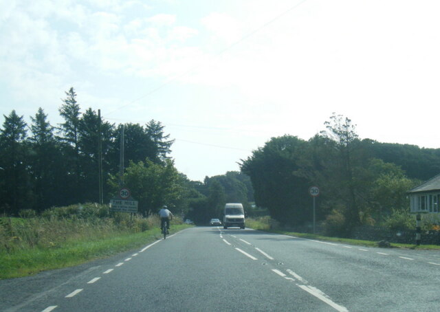
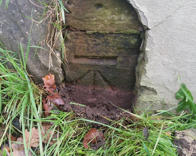
Arnaby Moss Images

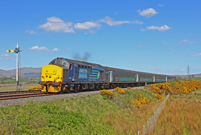
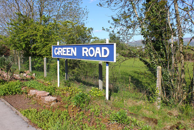
Images are sourced within 2km of 54.251316/-3.2449006 or Grid Reference SD1884. Thanks to Geograph Open Source API. All images are credited.

A5093 at The Green village boundary
A5093 at The Hill village boundary
The Punch Bowl Inn, The Green, Millom
Ordnance Survey Cut Mark This OS cut mark can be found on Old Hall Cottage. It marks a point 39.156m above mean sea level.
Ordnance Survey Cut Mark
This OS cut mark can be found on Old Hall Cottage. It marks a point 39.156m above mean sea level.
Ordnance Survey Cut Mark This OS cut mark can be found on Briar Dene. It marks a point 19.020m above mean sea level.
Ordnance Survey Cut Mark
This OS cut mark can be found on Briar Dene. It marks a point 19.020m above mean sea level.
SRPS Cumbrian Coast Railtour 2018 : Green Road Station
SRPS Cumbrian Coast Railtour 2018 : Signal Post Before Duddon Viaduct
SRPS Cumbrian Coast Railtour 2018 : Approaching Duddon Viaduct
Boundary Stone Toppled and damaged, over stream, south side of the A595.
Boundary Stone
Toppled and damaged, over stream, south side of the A595.
Ordnance Survey Cut Mark This OS cut mark can be found on the Village Hall SE side of the road. It marks a point 51.075m above mean sea level.
Ordnance Survey Cut Mark
This OS cut mark can be found on the Village Hall SE side of the road. It marks a point 51.075m above mean sea level.
Ordnance Survey Cut Mark This OS cut mark can be found on the gatepost south side of the road. It marks a point 59.576m above mean sea level.
Ordnance Survey Cut Mark
This OS cut mark can be found on the gatepost south side of the road. It marks a point 59.576m above mean sea level.
Ordnance Survey OSBM Bolt This OS Bolt can be found on the large boulder at the side of the barn at Low Broadgate. It marks a point 81.764m above mean sea level.
Ordnance Survey OSBM Bolt
This OS Bolt can be found on the large boulder at the side of the barn at Low Broadgate. It marks a point 81.764m above mean sea level.
Ordnance Survey Cut Mark This OS cut mark can be found on the brick building at Waltham Nursery. It marks a point 5.925m above mean sea level.
Ordnance Survey Cut Mark
This OS cut mark can be found on the brick building at Waltham Nursery. It marks a point 5.925m above mean sea level.
Ordnance Survey Cut Mark This OS cut mark can be found on a gatepost SE side of the track. It marks a point 6.172m above mean sea level.
Ordnance Survey Cut Mark
This OS cut mark can be found on a gatepost SE side of the track. It marks a point 6.172m above mean sea level.
Ordnance Survey Flush Bracket (G3077) This OS Flush Bracket can be found on The Oaks. It marks a point 35.752m above mean sea level.
Ordnance Survey Flush Bracket (G3077)
This OS Flush Bracket can be found on The Oaks. It marks a point 35.752m above mean sea level.
Ordnance Survey Cut Mark This OS cut mark can be found on the gatepost NE side of the road. It marks a point 59.489m above mean sea level.
Ordnance Survey Cut Mark
This OS cut mark can be found on the gatepost NE side of the road. It marks a point 59.489m above mean sea level.
Railway near Lady Hall Lancaster to Barrow line near Green Road.
Railway near Lady Hall
Lancaster to Barrow line near Green Road.
Green Road Station sign at Green Road, Cumbria.
Green Road
Station sign at Green Road, Cumbria.
Show me another place!

Arnaby Moss is located at Grid Ref: SD1884 (Lat: 54.251316, Lng: -3.2449006)

Administrative County: Cumbria

District: Copeland

Police Authority: Cumbria

What 3 Words

///initiates.torched.scrambles. Near Millom, Cumbria

Related Wikis

Nearby Amenities

Located within 500m of 54.251316,-3.2449006
Power: tower
Lat/Long: 54.2536523/-3.2503915
Barrier: stile
Lat/Long: 54.247916/-3.2470456
Barrier: stile
Lat/Long: 54.2483999/-3.2446802
Railway: level_crossing
Lat/Long: 54.2485196/-3.2429302
Railway: level_crossing
Lat/Long: 54.2485227/-3.2429784
Crossing Barrier: yes
Railway: level_crossing
Lat/Long: 54.2471468/-3.2438501
Crossing Barrier: yes
Railway: level_crossing
Lat/Long: 54.2471381/-3.2438032
Power: pole
Lat/Long: 54.2507204/-3.2381941
Power: pole
Lat/Long: 54.2503196/-3.2394203
Power: pole
Lat/Long: 54.2499044/-3.2407062
Power: pole
Lat/Long: 54.2494552/-3.242066
Power: pole
Lat/Long: 54.2493545/-3.2426923
Power: pole
Lat/Long: 54.2485991/-3.2435261
Power: pole
Lat/Long: 54.2478035/-3.2443547
Power: pole
Lat/Long: 54.2469597/-3.2451991
The data included in this document is from www.openstreetmap.org. The data is made available under ODbL.

Have you been to Arnaby Moss?

Leave your review of Arnaby Moss below (or comments, questions and feedback).