Strands

Settlement in Cumberland Copeland

England

Strands

A5093 at The Green village boundary
A5093 at The Green village boundary Credit: Colin Pyle

Strands is a quaint neighborhood located in Cumberland, a historic city in the county of Cumbria, England. Situated on the northern edge of the city, Strands is known for its picturesque beauty and serene atmosphere. The neighborhood is nestled amidst rolling hills and lush green landscapes, providing a tranquil escape from the hustle and bustle of urban life.

Strands is primarily a residential area, boasting a range of charming houses and cottages that exude a traditional English charm. The architecture in Strands is a delightful mix of styles, with some properties dating back several centuries, showcasing the area's rich history and heritage.

Residents of Strands enjoy easy access to a variety of amenities and services. The neighborhood is in close proximity to schools, shops, and recreational facilities, ensuring that residents have all their essential needs met within a short distance. Additionally, the nearby city center of Cumberland offers a wide range of entertainment options, including theaters, restaurants, and shopping centers.

Nature lovers are particularly drawn to Strands due to its proximity to the beautiful Lake District National Park. This renowned park is just a short drive away, offering residents the opportunity to explore stunning lakes, picturesque villages, and breathtaking mountainous landscapes.

Overall, Strands in Cumberland is a truly idyllic place to live, combining the charm of a traditional English neighborhood with the convenience of modern amenities and the natural beauty of the surrounding area.

If you have any feedback on the listing, please let us know in the comments section below.
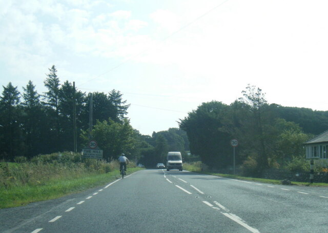
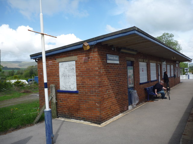
Strands Images

Images are sourced within 2km of 54.246992/-3.251197 or Grid Reference SD1884. Thanks to Geograph Open Source API. All images are credited.

A5093 at The Green village boundary
A5093 at The Hill village boundary
A5093 south of The Hill
The Punch Bowl Inn, The Green, Millom
Ordnance Survey Cut Mark This OS cut mark can be found on Old Hall Cottage. It marks a point 39.156m above mean sea level.
Ordnance Survey Cut Mark
This OS cut mark can be found on Old Hall Cottage. It marks a point 39.156m above mean sea level.
Ordnance Survey Cut Mark This OS cut mark can be found on Briar Dene. It marks a point 19.020m above mean sea level.
Ordnance Survey Cut Mark
This OS cut mark can be found on Briar Dene. It marks a point 19.020m above mean sea level.
SRPS Cumbrian Coast Railtour 2018 : Green Road Station
SRPS Cumbrian Coast Railtour 2018 : Signal Post Before Duddon Viaduct
SRPS Cumbrian Coast Railtour 2018 : Approaching Duddon Viaduct
Boundary Stone Toppled and damaged, over stream, south side of the A595.
Boundary Stone
Toppled and damaged, over stream, south side of the A595.
Ordnance Survey Cut Mark This OS cut mark can be found on the rock face NE side of the road. It marks a point 56.565m above mean sea level.
Ordnance Survey Cut Mark
This OS cut mark can be found on the rock face NE side of the road. It marks a point 56.565m above mean sea level.
Ordnance Survey Cut Mark This OS cut mark can be found on the Village Hall SE side of the road. It marks a point 51.075m above mean sea level.
Ordnance Survey Cut Mark
This OS cut mark can be found on the Village Hall SE side of the road. It marks a point 51.075m above mean sea level.
Ordnance Survey Cut Mark This OS cut mark can be found on the gatepost south side of the road. It marks a point 59.576m above mean sea level.
Ordnance Survey Cut Mark
This OS cut mark can be found on the gatepost south side of the road. It marks a point 59.576m above mean sea level.
Ordnance Survey Flush Bracket (G3081) This OS Flush Bracket can be found on Hall Bank. It marks a point 28.226m above mean sea level.
Ordnance Survey Flush Bracket (G3081)
This OS Flush Bracket can be found on Hall Bank. It marks a point 28.226m above mean sea level.
Ordnance Survey Cut Mark This OS cut mark can be found on the brick building at Waltham Nursery. It marks a point 5.925m above mean sea level.
Ordnance Survey Cut Mark
This OS cut mark can be found on the brick building at Waltham Nursery. It marks a point 5.925m above mean sea level.
Ordnance Survey Cut Mark This OS cut mark can be found on a gatepost SE side of the track. It marks a point 6.172m above mean sea level.
Ordnance Survey Cut Mark
This OS cut mark can be found on a gatepost SE side of the track. It marks a point 6.172m above mean sea level.
Ordnance Survey Flush Bracket (G3077) This OS Flush Bracket can be found on The Oaks. It marks a point 35.752m above mean sea level.
Ordnance Survey Flush Bracket (G3077)
This OS Flush Bracket can be found on The Oaks. It marks a point 35.752m above mean sea level.
Ordnance Survey Cut Mark This OS cut mark can be found on the gatepost NE side of the road. It marks a point 59.489m above mean sea level.
Ordnance Survey Cut Mark
This OS cut mark can be found on the gatepost NE side of the road. It marks a point 59.489m above mean sea level.
Show me another place!

Strands is located at Grid Ref: SD1884 (Lat: 54.246992, Lng: -3.251197)

Administrative County: Cumbria

District: Copeland

Police Authority: Cumbria

What 3 Words

///quickly.composers.timed. Near Millom, Cumbria

Related Wikis

Nearby Amenities

Located within 500m of 54.246992,-3.251197
Green Road
Crossing Barrier: half
Crossing Light: yes
Railway: level_crossing
Lat/Long: 54.2446807/-3.245269
Power: tower
Lat/Long: 54.2498021/-3.2556996
Barrier: stile
Lat/Long: 54.247916/-3.2470456
Barrier: stile
Lat/Long: 54.2483999/-3.2446802
Crossing Barrier: yes
Railway: level_crossing
Lat/Long: 54.2471468/-3.2438501
Crossing Barrier: yes
Railway: level_crossing
Lat/Long: 54.2471381/-3.2438032
Green Road
Crossing Barrier: half
Crossing Light: yes
Railway: level_crossing
Lat/Long: 54.2446948/-3.2453133
Green Road
Public Transport: stop_position
Railway: stop
Train: yes
Lat/Long: 54.2443986/-3.2454622
Post Box
Lat/Long: 54.2469767/-3.2529564
Power: pole
Lat/Long: 54.243488/-3.2543855
Power: pole
Lat/Long: 54.2459199/-3.2558472
Power: pole
Lat/Long: 54.2451859/-3.2549902
Power: pole
Lat/Long: 54.2444038/-3.2541331
Power: pole
Lat/Long: 54.2446645/-3.2527712
Power: pole
Lat/Long: 54.2446645/-3.2474469
Power: pole
Lat/Long: 54.2454127/-3.2467225
Frequency: 50
Material: wood
Phases: 1
Power: pole
Source: survey
Transformer: distribution
Voltage: 11000;230
Lat/Long: 54.2440809/-3.2462932
Power: pole
Ref: 11 50 02
Source Ref: survey
Lat/Long: 54.2448145/-3.2457922
Power: pole
Lat/Long: 54.244429/-3.2460648
Power: pole
Lat/Long: 54.245407/-3.2490551
Power: pole
Lat/Long: 54.2451379/-3.250399
Power: pole
Lat/Long: 54.2473168/-3.2574872
Power: pole
Lat/Long: 54.2480948/-3.2583151
Power: pole
Lat/Long: 54.2437518/-3.24766
Power: pole
Lat/Long: 54.2430002/-3.2477692
Power: pole
Lat/Long: 54.2435356/-3.2559448
Lime Kiln
Historic: yes
Lat/Long: 54.2492873/-3.2573617
Barrier: cattle_grid
Lat/Long: 54.246222/-3.2508386
Green Road
Naptan AtcoCode: 9100GREENRD
Network: National Rail
Network Website: https://www.nationalrail.co.uk/stations/gnr/
Network Wikidata: Q26334
Operator: Northern Rail
Operator Website: https://www.northernrailway.co.uk/stations/green-road
Operator Wikidata: Q85789775
Public Transport: station
Railway: station
Ref Crs: GNR
Request Stop: yes
Train: yes
Wikidata: Q4825330
Wikipedia: en:Green Road railway station
Lat/Long: 54.2444234/-3.2453885
Green Road
Public Transport: stop_position
Railway: stop
Train: yes
Lat/Long: 54.244198/-3.2455105
Telephone
Booth: no
Indoor: no
Phone: +44 1229 771124
Lat/Long: 54.2444379/-3.2455044
Bench
Lat/Long: 54.244374/-3.24553
Power: pole
Lat/Long: 54.2478035/-3.2443547
Power: pole
Lat/Long: 54.2469597/-3.2451991
Power: pole
Lat/Long: 54.2461548/-3.2460171
Power: pole
Lat/Long: 54.2431266/-3.2544909
The data included in this document is from www.openstreetmap.org. The data is made available under ODbL.

Have you been to Strands?

Leave your review of Strands below (or comments, questions and feedback).