Hopetoun Brae

Downs, Moorland in Dumfriesshire

Scotland

Hopetoun Brae

Clear felling sections in Eskdalemuir Forest Harvesting timber from part of the plantation above Garwald Water, seen from the ridge of Hopetoun Craig.
Clear felling sections in Eskdalemuir Forest Credit: Jim Barton

Hopetoun Brae is a picturesque area located in Dumfriesshire, Scotland. Situated on the downs and moorland, it offers breathtaking views and a tranquil atmosphere for visitors to enjoy. The area is known for its natural beauty and is a popular destination for nature lovers and outdoor enthusiasts.

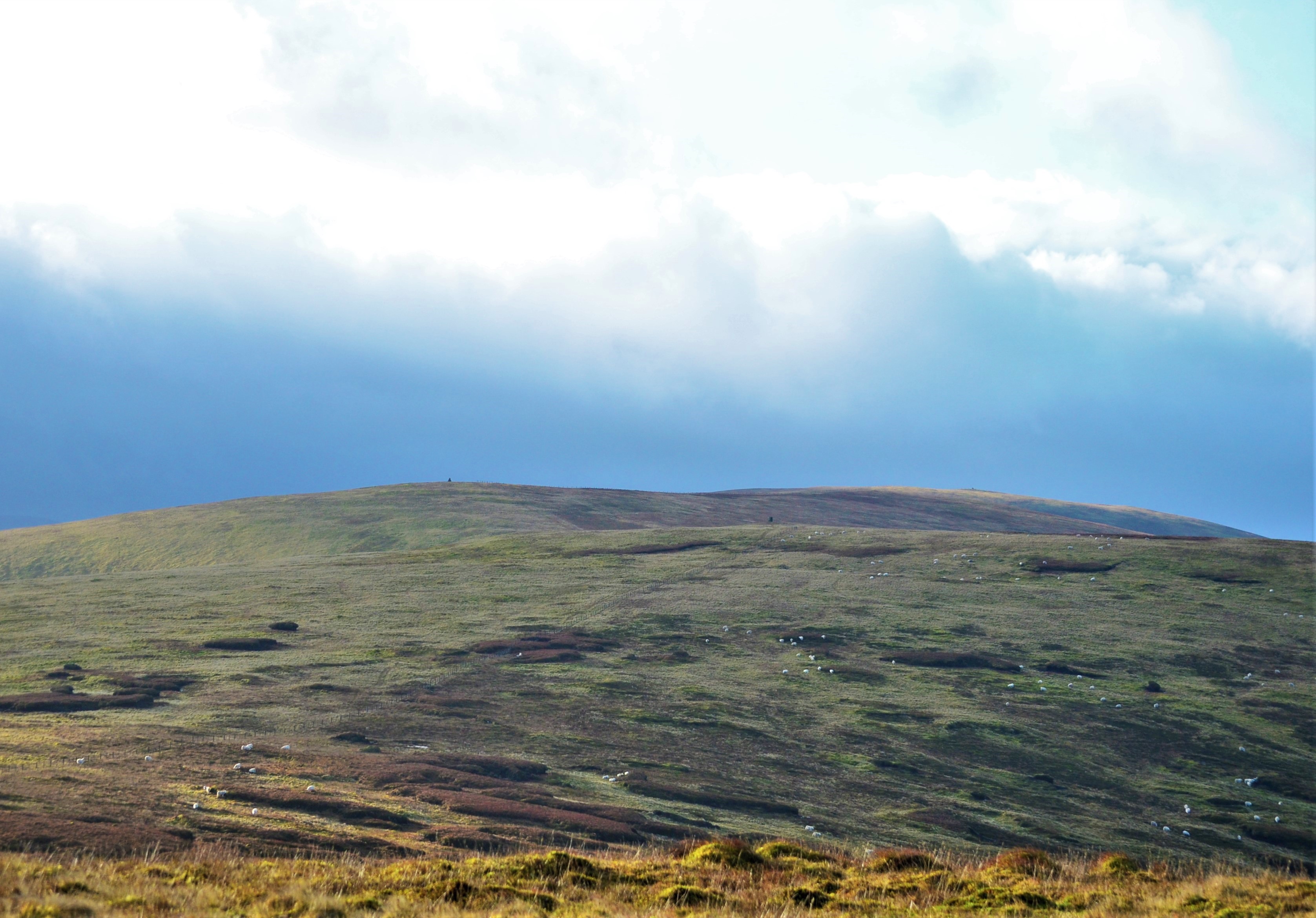
The downs of Hopetoun Brae are characterized by gently rolling hills, covered in lush green vegetation. The landscape is dotted with clusters of trees and shrubs, creating a scenic backdrop against the clear blue sky. Walking along the downs, visitors can take in the panoramic views of the surrounding countryside, with its patchwork of fields and distant hills.

The moorland of Hopetoun Brae is a vast expanse of open, rugged terrain. It is covered in heather and grasses, creating a vibrant purple hue in the summer months. The moorland is home to a variety of wildlife, including birds, small mammals, and insects. Birdwatchers can spot species such as red grouse, golden plovers, and buzzards soaring through the skies.

Hopetoun Brae offers a range of activities for visitors to indulge in. Hiking and walking trails crisscross the downs and moorland, allowing visitors to explore the area at their own pace. The peaceful surroundings also make it an ideal spot for picnics and nature photography.

In conclusion, Hopetoun Brae in Dumfriesshire is a stunning area of downs and moorland, offering visitors a chance to immerse themselves in the natural beauty of Scotland. With its panoramic views, diverse wildlife, and recreational activities, it is a must-visit destination for nature enthusiasts and those seeking a peaceful retreat.

If you have any feedback on the listing, please let us know in the comments section below.

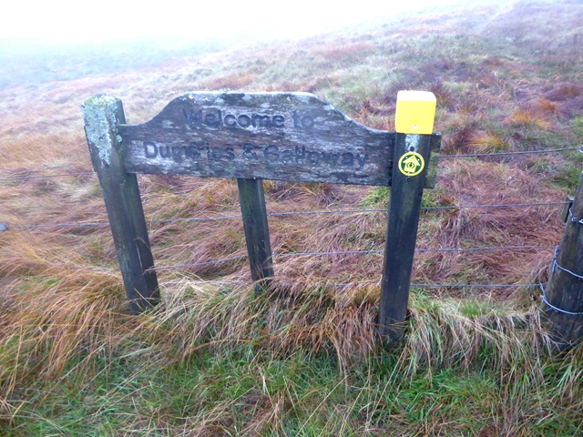
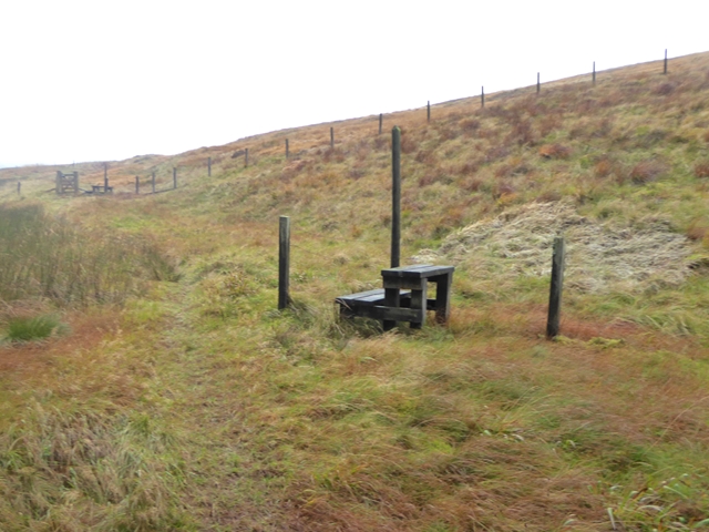
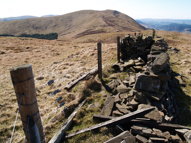
Hopetoun Brae Images

Images are sourced within 2km of 55.34609/-3.2786082 or Grid Reference NT1906. Thanks to Geograph Open Source API. All images are credited.

Clear felling sections in Eskdalemuir Forest Harvesting timber from part of the plantation above Garwald Water, seen from the ridge of Hopetoun Craig.
Clear felling sections in Eskdalemuir Forest
Harvesting timber from part of the plantation above Garwald Water, seen from the ridge of Hopetoun Craig.
On Ettrick Pen Looking down the fenceline on the east ridge
On Ettrick Pen
Looking down the fenceline on the east ridge
Southern Upland Way, Ettrick Head The Southern Upland Way diverges, here, from forestry tracks as it proceeds West. This view is Eastwards, towards the Ettrick Valley.
Southern Upland Way, Ettrick Head
The Southern Upland Way diverges, here, from forestry tracks as it proceeds West. This view is Eastwards, towards the Ettrick Valley.
A Scottish Welcome Over Phawhope bothy door making it clear which country you are in! Obviously a fairly new door given that in 2011 it looked like this:-
<a title="https://www.geograph.org.uk/photo/2338761" href="https://www.geograph.org.uk/photo/2338761">Link</a>
Over Phawhope is the only bothy owned by the Mountain Bothies Association (MBA) and was bequeathed by the estate of the late Harry Fairhurst who was the owner of the estate and a great supporter of the MBA.
 It is well maintained and judging by the bothy book very popular, as it is on the Southern Upland Way.
A Scottish Welcome
Over Phawhope bothy door making it clear which country you are in! Obviously a fairly new door given that in 2011 it looked like this:- Link Over Phawhope is the only bothy owned by the Mountain Bothies Association (MBA) and was bequeathed by the estate of the late Harry Fairhurst who was the owner of the estate and a great supporter of the MBA. It is well maintained and judging by the bothy book very popular, as it is on the Southern Upland Way.
The View From Ettrick Head Just over the boundary fence between Dumfries & Galloway and the Scottish Borders and the views open out after the conifer plantation to the north.  The heather is starting to bloom on the hills - looking to Loch Fell and West Knowe.
The View From Ettrick Head
Just over the boundary fence between Dumfries & Galloway and the Scottish Borders and the views open out after the conifer plantation to the north. The heather is starting to bloom on the hills - looking to Loch Fell and West Knowe.
The Southern Upland Way near Ettrick Head
The Southern Upland Way near Red Scar
The Southern Upland Way near Over Phawhope
Welcome to The Scottish Borders Doing it in stile [sic] to cross the border on the Southern Upland Way.
Welcome to The Scottish Borders
Doing it in stile [sic] to cross the border on the Southern Upland Way.
The Southern Upland Way by a burn at Ettrick Head I'd imagine this plantation might be a welcome sight if following the Southern Upland Way from west to east in poor weather.  A small burn drains damp grass moorland into the Ettrick Water system.
The Southern Upland Way by a burn at Ettrick Head
I'd imagine this plantation might be a welcome sight if following the Southern Upland Way from west to east in poor weather. A small burn drains damp grass moorland into the Ettrick Water system.
Southern Upland Way following a forestry track The Southern Upland Way passing through dense coniferous plantations near the head of the Ettrick valley.
Southern Upland Way following a forestry track
The Southern Upland Way passing through dense coniferous plantations near the head of the Ettrick valley.
Welcome to the Scottish Borders... ...on this misty morning. Sign at Ettrick Head on the Southern Uplands Way proceeding east.
Welcome to the Scottish Borders...
...on this misty morning. Sign at Ettrick Head on the Southern Uplands Way proceeding east.
Welcome to Dumfries and Galloway... ...on this misty morning. Sign at Ettrick Head on the Southern Uplands Way proceeding west.
Welcome to Dumfries and Galloway...
...on this misty morning. Sign at Ettrick Head on the Southern Uplands Way proceeding west.
Southern Uplands Way at Ettrick Head The sign welcomes walkers to Dumfries and Galloway (see <a href="https://www.geograph.org.uk/photo/5950208">NT1706 : Welcome to Dumfries and Galloway...</a>).
Southern Uplands Way at Ettrick Head
The sign welcomes walkers to Dumfries and Galloway (see NT1706 : Welcome to Dumfries and Galloway...).
Southern Uplands Way approaching Ettrick Head Why would anyone use the stile, when the path goes straight by?
Southern Uplands Way approaching Ettrick Head
Why would anyone use the stile, when the path goes straight by?
Show me another place!

Hopetoun Brae is located at Grid Ref: NT1906 (Lat: 55.34609, Lng: -3.2786082)

Unitary Authority: Dumfries and Galloway

Police Authority: Dumfries and Galloway

What 3 Words

///outfit.averages.doubts. Near Moffat, Dumfries & Galloway

Nearby Locations

Hopetoun Brae

Related Wikis

Ettrick Pen

Ettrick Pen is a hill in the Ettrick Hills range, part of the Southern Uplands of Scotland. A remote peak, It lies southwest of the village of Ettrick...

Croft Head

Croft Head is a hill in the Ettrick Hills range, part of the Southern Uplands of Scotland. It offers unobstructed views to the Solway Firth, the fells...

Bodesbeck Law

Bodesbeck Law is a hill in the Ettrick Hills range, part of the Southern Uplands of Scotland. It is the primary west-south-western terminus of the ridge...

Eskdalemuir Forest

Eskdalemuir Forest is a forest north of Eskdalemuir, Dumfries and Galloway, in southern Scotland. It was created as a private enterprise by the Economic...

Eskdalemuir Observatory

The Eskdalemuir Observatory is a UK national environmental observatory located near Eskdalemuir, Dumfries and Galloway, Scotland. Along with Lerwick and...

Southern Uplands

The Southern Uplands (Scottish Gaelic: Na Monaidhean a Deas) are the southernmost and least populous of mainland Scotland's three major geographic areas...

Andrewhinney Hill

Andrewhinney Hill is a hill in the Ettrick Hills range, part of the Southern Uplands of Scotland. It is the highest summit of a ridge that runs parallel...

Grey Mare's Tail, Moffat Hills

Grey Mare's Tail is a 60-metre (200 ft) hanging valley waterfall near to Moffat in southern Scotland. The fall is produced by the Tail Burn flowing from...

Nearby Amenities

Located within 500m of 55.34609,-3.2786082
Hopetoun Craig
Ele: 632
Natural: peak
Lat/Long: 55.3486171/-3.2831034
The data included in this document is from www.openstreetmap.org. The data is made available under ODbL.

Have you been to Hopetoun Brae?

Leave your review of Hopetoun Brae below (or comments, questions and feedback).