Little Wood

Downs, Moorland in Devon North Devon

England

Little Wood

Sir Roberts Chair Sir Roberts Chair is a foreshore pinnacle at Desolation Point, Exmoor Coast. Wingate waterfall 75ft is about 200m east in grid sq SS7849
Sir Roberts Chair Credit: Exmoor Walker

Little Wood is a charming village located in the county of Devon, England. Nestled amidst the picturesque Downs and Moorland, this idyllic countryside retreat offers a tranquil and peaceful atmosphere for residents and visitors alike.

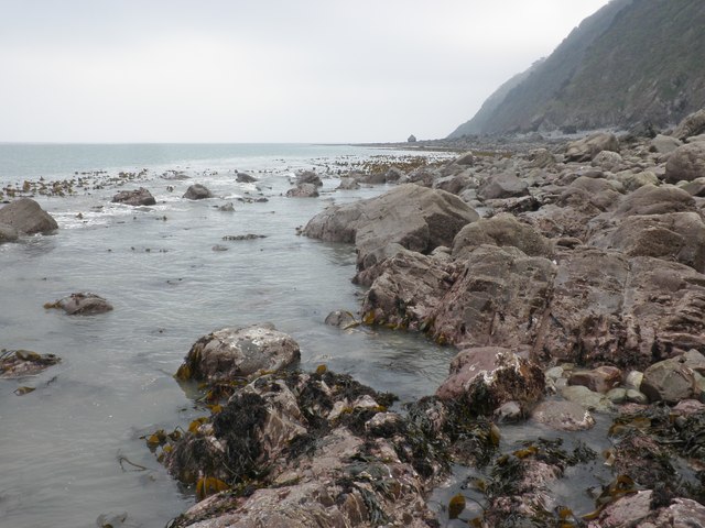
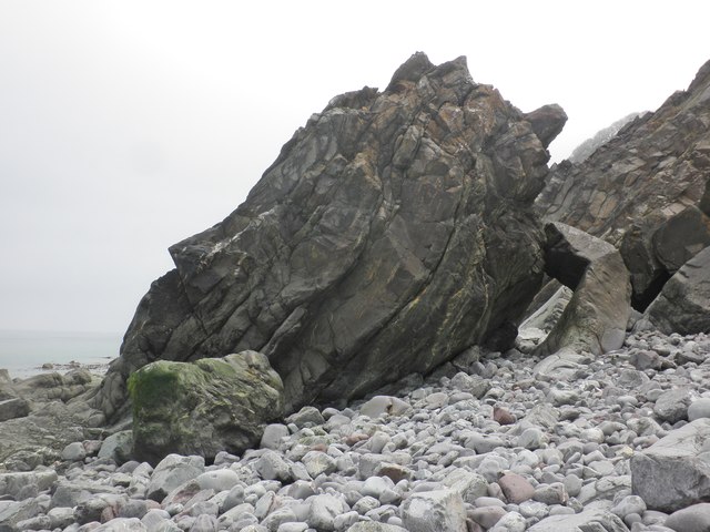
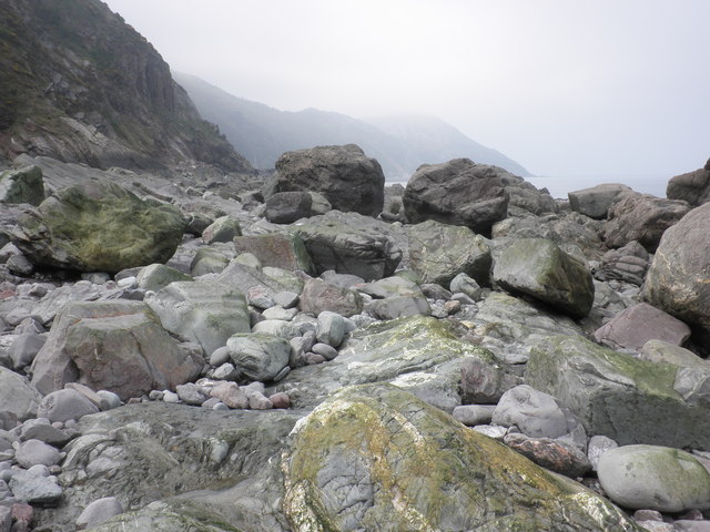
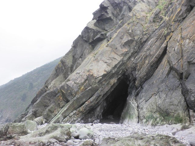
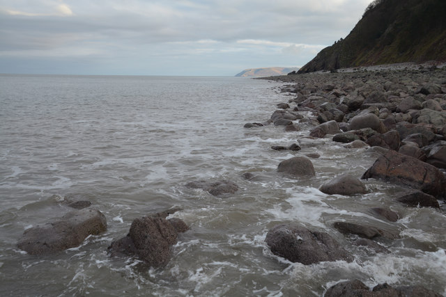
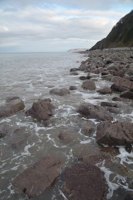
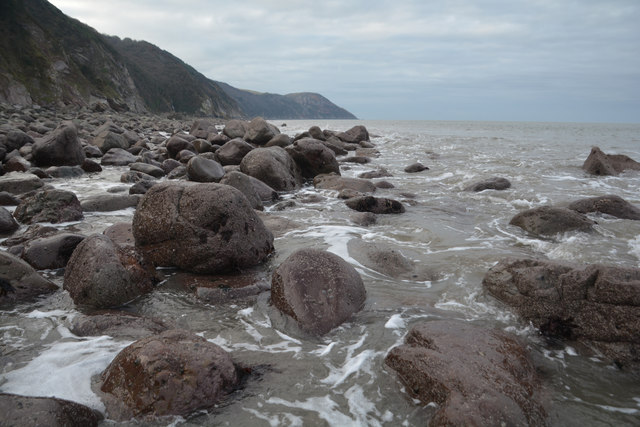
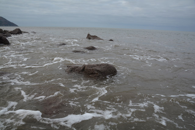
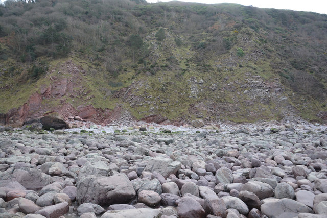
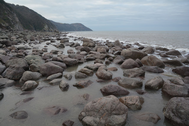
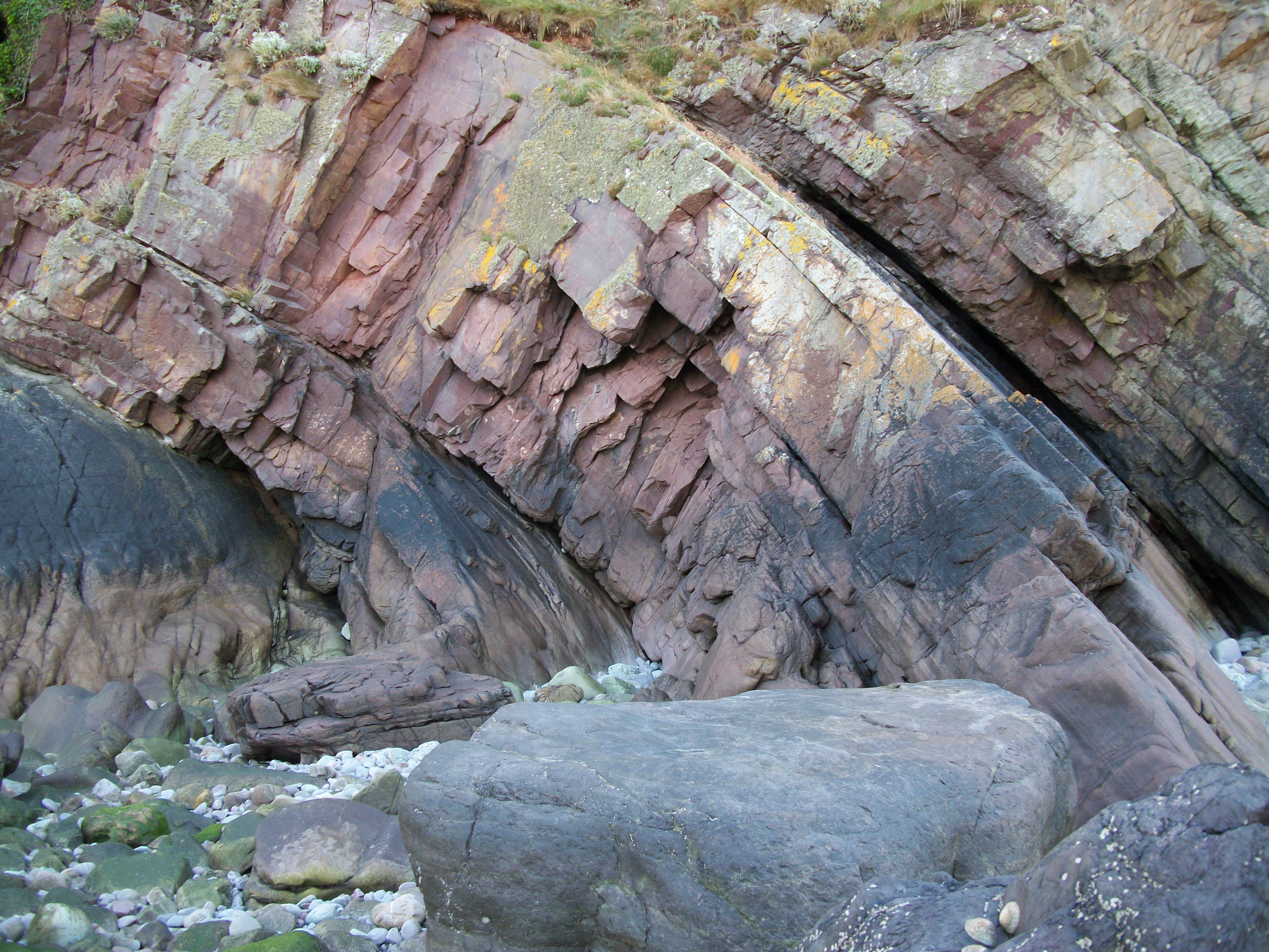
Surrounded by rolling hills and lush greenery, Little Wood is a haven for nature enthusiasts. The village is dotted with ancient woodlands, providing ample opportunities for leisurely walks and exploration. The area is rich in biodiversity, with an abundance of flora and fauna, making it a popular spot for birdwatching and wildlife spotting.

The village itself is small yet quaint, with a tight-knit community that prides itself on its warm and welcoming nature. The local pub, The Woodman's Arms, is a popular gathering place for villagers and visitors alike, serving delicious meals and offering a comfortable spot to relax and socialize.

Little Wood is also within close proximity to several notable attractions. Dartmoor National Park, known for its rugged landscapes and granite tors, is just a short drive away. Visitors can enjoy hiking, cycling, and horse riding in this stunning natural playground. The historic town of Tavistock is also nearby, offering a range of shops, cafes, and a bustling weekly market.

Whether you're seeking a peaceful retreat, outdoor adventure, or a taste of rural English life, Little Wood in Devon promises to deliver. With its natural beauty, friendly community, and convenient location, it is a hidden gem waiting to be discovered.

If you have any feedback on the listing, please let us know in the comments section below.
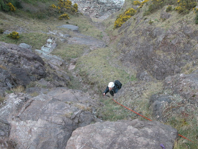
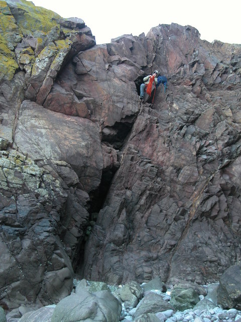
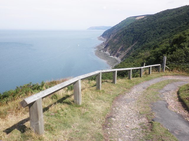
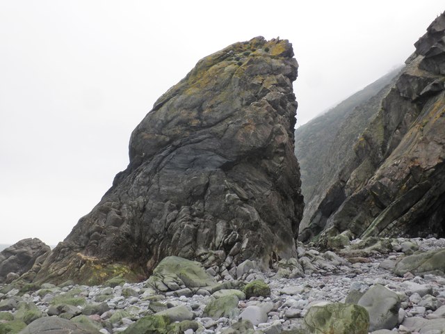
Little Wood Images

Images are sourced within 2km of 51.23471/-3.7298713 or Grid Reference SS7949. Thanks to Geograph Open Source API. All images are credited.

Sir Roberts Chair Sir Roberts Chair is a foreshore pinnacle at Desolation Point, Exmoor Coast. Wingate waterfall 75ft is about 200m east in grid sq SS7849
Sir Roberts Chair
Sir Roberts Chair is a foreshore pinnacle at Desolation Point, Exmoor Coast. Wingate waterfall 75ft is about 200m east in grid sq SS7849
Whitebeam Gully. Exmoor A grade 3 scramble
Whitebeam Gully. Exmoor
A grade 3 scramble
Desolation Point. Exmoor Climber emerging from the through cave at Desolation Point. (Sir Roberts Chair)
<span class="nowrap"><a title="http://uk.groups.yahoo.com/group/exmoorcoast" rel="nofollow ugc noopener" href="http://uk.groups.yahoo.com/group/exmoorcoast">Link</a><img style="margin-left:2px;" alt="External link" title="External link - shift click to open in new window" src="https://s1.geograph.org.uk/img/external.png" width="10" height="10"/></span>
Desolation Point. Exmoor
Climber emerging from the through cave at Desolation Point. (Sir Roberts Chair) LinkExternal link
Yacht near Desolation Point Just visible in the middle distance!
Yacht near Desolation Point
Just visible in the middle distance!
Sir Robert's Chair
Sir Robert's Chair
Below Desolation Point, at low tide
Visible rock strata, Countisbury Cove
Fractured cliffs, Countisbury Cove
Wave Rock This outlying remnant of strata has been eroded over time to resemble what appears to be a massive breaking wave, solidified in rock.
Wave Rock
This outlying remnant of strata has been eroded over time to resemble what appears to be a massive breaking wave, solidified in rock.
Rock outcrop, Countisbury Cove
Boulder strewn foreshore, near Desolation Point
Cave, below Desolation Point
North Devon : Pebble Beach Around 30 or so minutes after a low spring tide on a square which is soon to go underwater. Had to step on the few remaining rocks to remain dry to get here.
North Devon : Pebble Beach
Around 30 or so minutes after a low spring tide on a square which is soon to go underwater. Had to step on the few remaining rocks to remain dry to get here.
North Devon : Pebble Beach Looking back along the pebble beach towards the cliff.
North Devon : Pebble Beach
Looking back along the pebble beach towards the cliff.
North Devon : Pebble Beach Looking along the pebble coastline at low tide.
North Devon : Pebble Beach
Looking along the pebble coastline at low tide.
Show me another place!

Little Wood is located at Grid Ref: SS7949 (Lat: 51.23471, Lng: -3.7298713)

Administrative County: Devon

District: North Devon

Police Authority: Devon and Cornwall

What 3 Words

///acrobats.host.loser. Near Lynton, Devon

Related Wikis

Glenthorne

Glenthorne (grid reference SS800497) is a 13.3 hectare geological Site of Special Scientific Interest in the parish of Oare within the Exmoor National...

East Lyn Valley

East Lyn Valley is a valley of Exmoor, covering northern Devon and western Somerset, England. The East Lyn River is formed from several main tributaries...

Oare Water

Oare Water passes through the village of Oare, on Exmoor in Somerset, England. It joins Badgworthy Water before flowing to Watersmeet and the Bristol Channel...

Badgworthy Water

Badgworthy Water is a small river which flows through Malmsmead on Exmoor, close to the border between Devon and Somerset, England. It merges with Oare...

Nearby Amenities

Located within 500m of 51.23471,-3.7298713
Source: PGS
Lat/Long: 51.2350858/-3.723968
Source: PGS
Lat/Long: 51.2352578/-3.7242404
Source: PGS
Lat/Long: 51.235535/-3.7250579
Source: PGS
Lat/Long: 51.2361131/-3.7297922
Source: PGS
Lat/Long: 51.2362168/-3.7330775
Bench
Lat/Long: 51.2334504/-3.7352045
Bench
Lat/Long: 51.2333832/-3.7326618
Building: yes
Lat/Long: 51.2338835/-3.7255594
Building: yes
Lat/Long: 51.2305379/-3.7296792
The data included in this document is from www.openstreetmap.org. The data is made available under ODbL.

Have you been to Little Wood?

Leave your review of Little Wood below (or comments, questions and feedback).