Magpie Plantation

Wood, Forest in Somerset Somerset West and Taunton

England

Magpie Plantation

Sir Roberts Chair Sir Roberts Chair is a foreshore pinnacle at Desolation Point, Exmoor Coast. Wingate waterfall 75ft is about 200m east in grid sq SS7849
Sir Roberts Chair Credit: Exmoor Walker

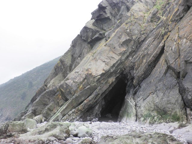
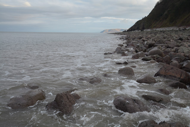
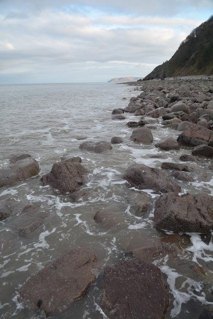
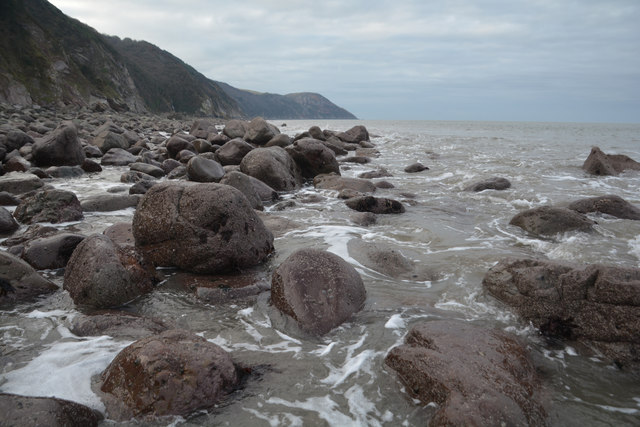
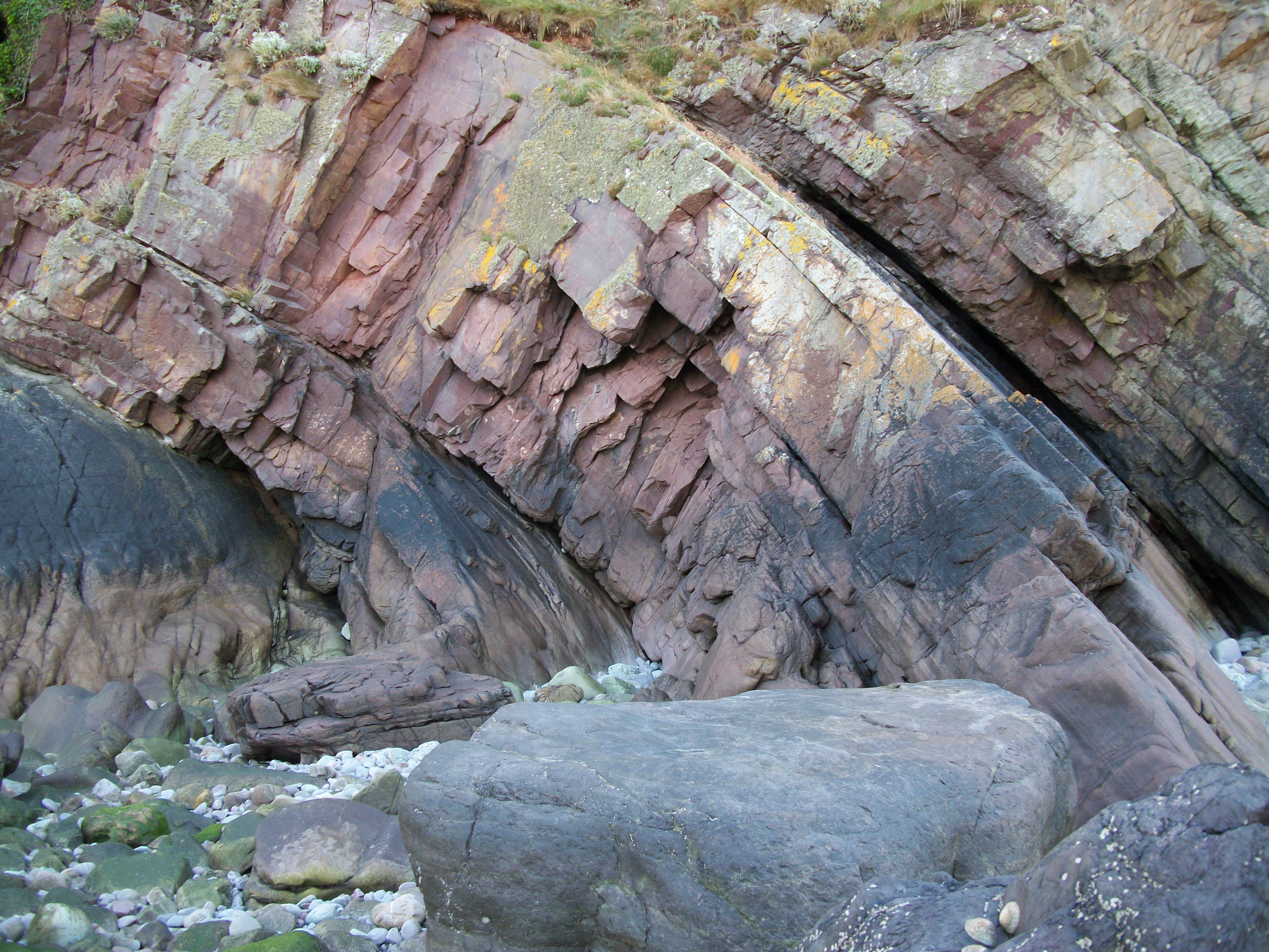
Magpie Plantation, located in Somerset, England, is a picturesque woodland estate encompassing a vast area of ancient forest. The plantation is renowned for its stunning natural beauty and diverse ecosystem, making it a popular destination for nature enthusiasts and outdoor enthusiasts alike.

Covering over 500 acres of land, Magpie Plantation is home to a variety of flora and fauna, including towering oak trees, vibrant wildflowers, and an abundance of wildlife. The forest is teeming with bird species, including the native magpies that inspired the plantation's name. Visitors can often spot other bird species, such as woodpeckers and owls, as well as small mammals like squirrels and foxes.

The plantation offers a range of activities for visitors to explore and enjoy the natural surroundings. There are numerous walking trails that wind through the forest, allowing visitors to immerse themselves in the tranquil atmosphere and discover hidden gems along the way. The trails are well-maintained and suitable for all ages and fitness levels.

In addition to hiking, Magpie Plantation also offers opportunities for wildlife watching and photography. The plantation's diverse ecosystem provides an ideal habitat for a wide range of species, creating ample opportunities for nature enthusiasts to observe and capture stunning wildlife moments.

Overall, Magpie Plantation is a captivating destination that showcases the beauty and diversity of Somerset's woodlands. Its natural charm, coupled with the range of recreational activities it offers, makes it a must-visit location for anyone seeking to connect with nature and experience the tranquility of a forest setting.

If you have any feedback on the listing, please let us know in the comments section below.

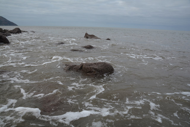
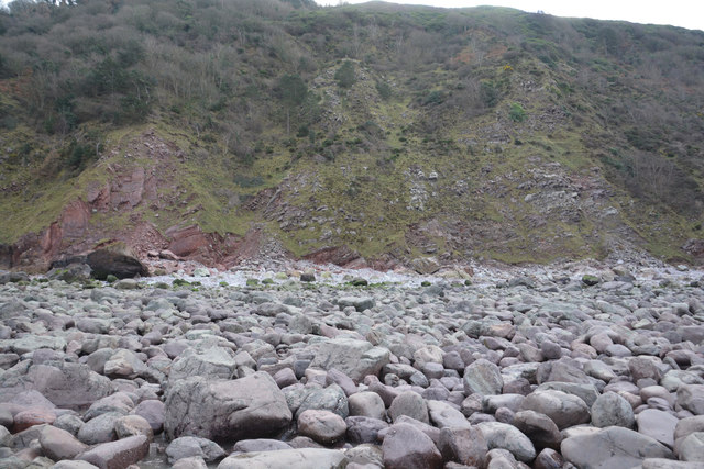
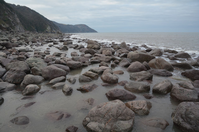
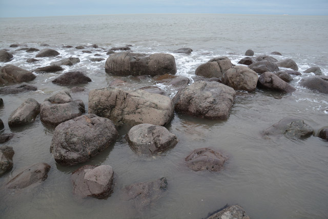
Magpie Plantation Images

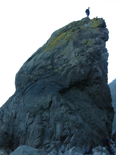
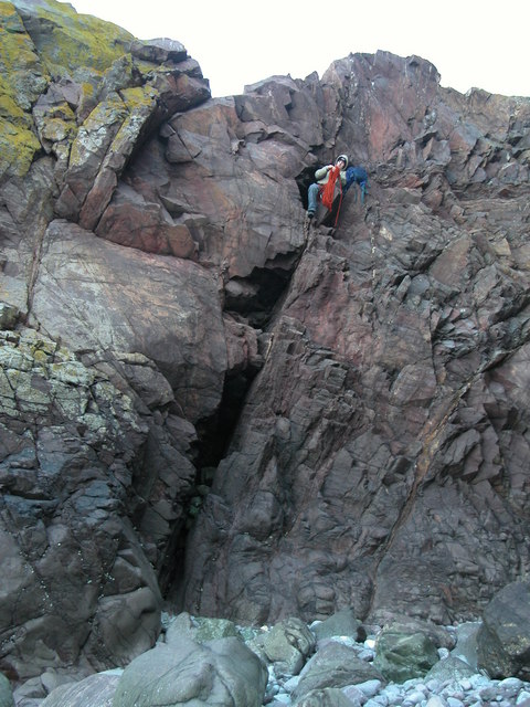
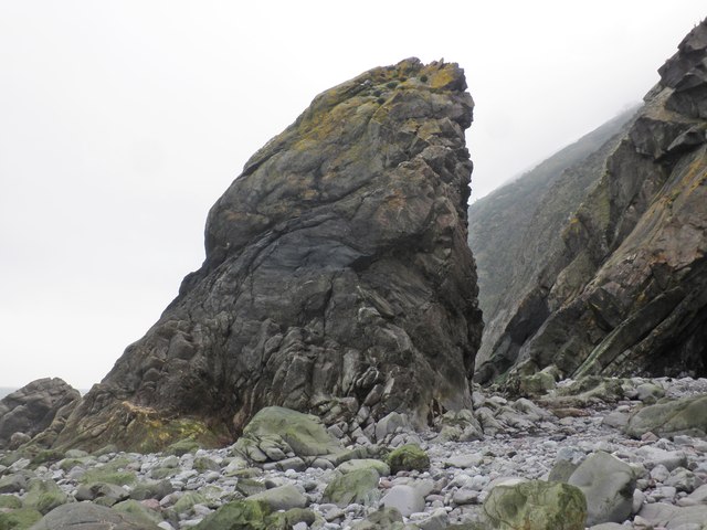
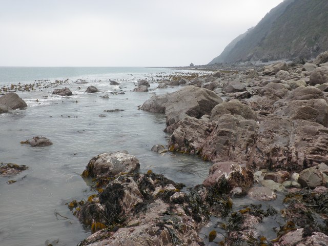
Images are sourced within 2km of 51.228058/-3.7260268 or Grid Reference SS7949. Thanks to Geograph Open Source API. All images are credited.

Sir Roberts Chair Sir Roberts Chair is a foreshore pinnacle at Desolation Point, Exmoor Coast. Wingate waterfall 75ft is about 200m east in grid sq SS7849
Sir Roberts Chair
Sir Roberts Chair is a foreshore pinnacle at Desolation Point, Exmoor Coast. Wingate waterfall 75ft is about 200m east in grid sq SS7849
Desolation Point. Exmoor Climber emerging from the through cave at Desolation Point. (Sir Roberts Chair)
<span class="nowrap"><a title="http://uk.groups.yahoo.com/group/exmoorcoast" rel="nofollow ugc noopener" href="http://uk.groups.yahoo.com/group/exmoorcoast">Link</a><img style="margin-left:2px;" alt="External link" title="External link - shift click to open in new window" src="https://s1.geograph.org.uk/img/external.png" width="10" height="10"/></span>
Desolation Point. Exmoor
Climber emerging from the through cave at Desolation Point. (Sir Roberts Chair) LinkExternal link
Sir Robert's Chair
Sir Robert's Chair
Below Desolation Point, at low tide
Cave, below Desolation Point
North Devon : Pebble Beach Around 30 or so minutes after a low spring tide on a square which is soon to go underwater. Had to step on the few remaining rocks to remain dry to get here.
North Devon : Pebble Beach
Around 30 or so minutes after a low spring tide on a square which is soon to go underwater. Had to step on the few remaining rocks to remain dry to get here.
North Devon : Pebble Beach Looking back along the pebble beach towards the cliff.
North Devon : Pebble Beach
Looking back along the pebble beach towards the cliff.
North Devon : Pebble Beach Looking along the pebble coastline at low tide.
North Devon : Pebble Beach
Looking along the pebble coastline at low tide.
North Devon : Pebble Beach Looking out to the Bristol Channel from the pebble coastline.
North Devon : Pebble Beach
Looking out to the Bristol Channel from the pebble coastline.
North Devon : Pebble Beach The cliffs and rocky coastline at Desolation Point in North Devon.
North Devon : Pebble Beach
The cliffs and rocky coastline at Desolation Point in North Devon.
North Devon : Pebble Beach Looking towards Sir Robert's Chair on the North Devon coastline.
North Devon : Pebble Beach
Looking towards Sir Robert's Chair on the North Devon coastline.
North Devon : Sir Robert's Chair Looking along the coastline towards Sir Robert's Chair.
North Devon : Sir Robert's Chair
Looking along the coastline towards Sir Robert's Chair.
North Devon : Cave A small cave at Desoltation Point in North Devon.
North Devon : Cave
A small cave at Desoltation Point in North Devon.
North Devon : Pebble Beach Looking towards Sir Richard's Chair on the left and a small cave at Desoltation Point on the right.
North Devon : Pebble Beach
Looking towards Sir Richard's Chair on the left and a small cave at Desoltation Point on the right.
North Devon : Pebble Beach Looking along a pebble coastline in North Devon.
North Devon : Pebble Beach
Looking along a pebble coastline in North Devon.
Show me another place!

Magpie Plantation is located at Grid Ref: SS7949 (Lat: 51.228058, Lng: -3.7260268)

Administrative County: Somerset

District: Somerset West and Taunton

Police Authority: Avon and Somerset

What 3 Words

///tramps.stiletto.steaming. Near Lynton, Devon

Related Wikis

East Lyn Valley

East Lyn Valley is a valley of Exmoor, covering northern Devon and western Somerset, England. The East Lyn River is formed from several main tributaries...

Glenthorne

Glenthorne (grid reference SS800497) is a 13.3 hectare geological Site of Special Scientific Interest in the parish of Oare within the Exmoor National...

Oare Water

Oare Water passes through the village of Oare, on Exmoor in Somerset, England. It joins Badgworthy Water before flowing to Watersmeet and the Bristol Channel...

Badgworthy Water

Badgworthy Water is a small river which flows through Malmsmead on Exmoor, close to the border between Devon and Somerset, England. It merges with Oare...

Nearby Amenities

Located within 500m of 51.228058,-3.7260268
Bus Stop
Bus: yes
Naptan AtcoCode: 3600SOA31219
Naptan NaptanCode: sotadadp
Public Transport: platform
Lat/Long: 51.2240561/-3.7289536
SisterĀ“s Fountain
Natural: spring
Lat/Long: 51.2287514/-3.7305515
Building: yes
Lat/Long: 51.2305379/-3.7296792
County Gate
Place: locality
Lat/Long: 51.2240399/-3.7291892
The data included in this document is from www.openstreetmap.org. The data is made available under ODbL.

Have you been to Magpie Plantation?

Leave your review of Magpie Plantation below (or comments, questions and feedback).