Yellow Hammer Rock
Island in Devon North Devon
England
Yellow Hammer Rock
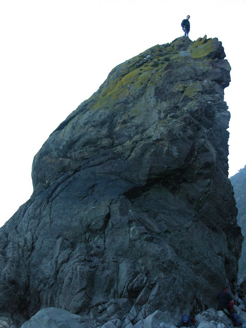
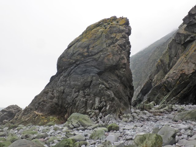
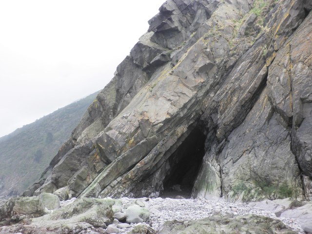
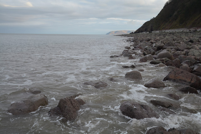
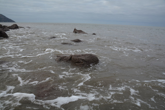
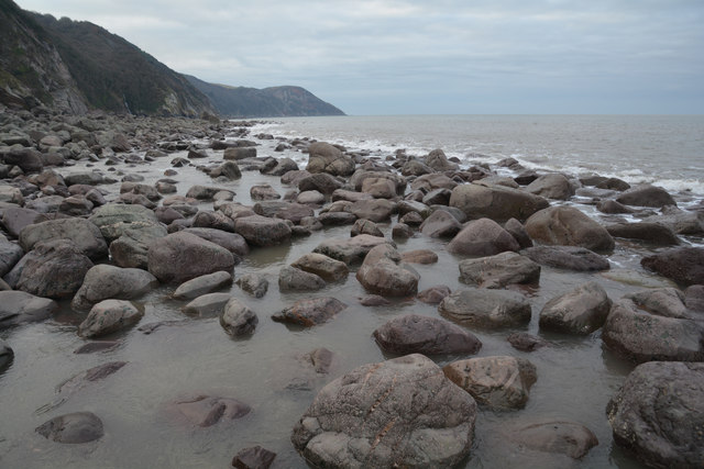
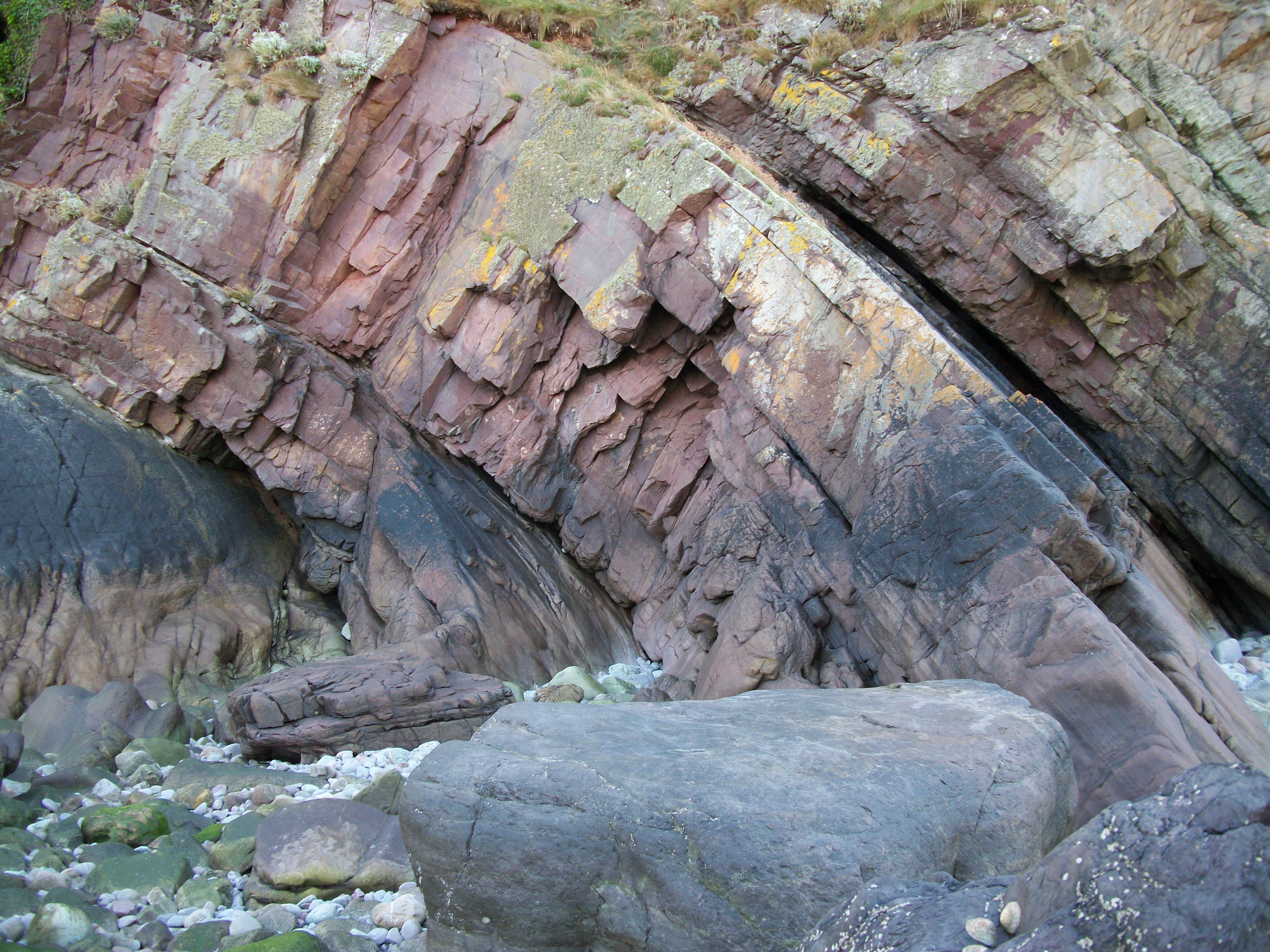
Yellow Hammer Rock is a small island located off the coast of Devon, England. It is situated in the Bristol Channel, approximately 2 kilometers from the mainland. The island is known for its unique geological formations and diverse wildlife.
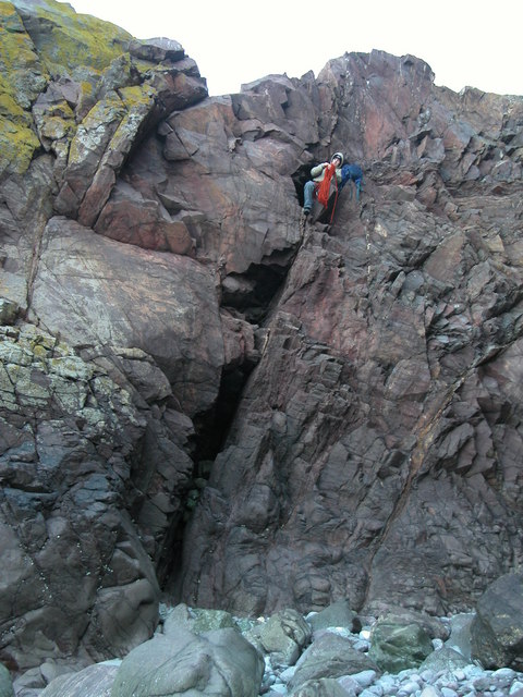
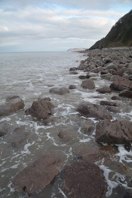
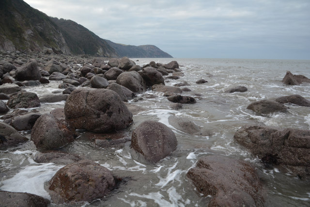
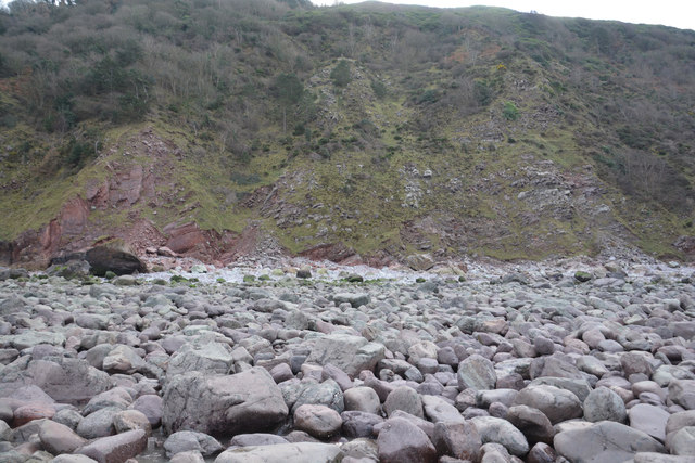
Covering an area of around 5 hectares, Yellow Hammer Rock is characterized by its rugged cliffs and rocky shores. The island gets its name from the yellow hammer bird species that inhabit the area. It is a designated Site of Special Scientific Interest (SSSI) due to its ecological importance.
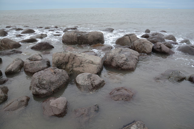
The island is composed of various types of rock, including limestone and shale. These rock formations provide a habitat for a wide range of plant and animal species. The cliffs are home to seabird colonies, including kittiwakes and guillemots, which nest on the ledges.
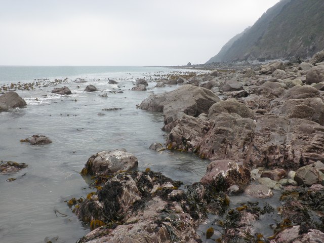
Yellow Hammer Rock is also known for its rich marine life. The surrounding waters are teeming with diverse species of fish, crustaceans, and mollusks, making it a popular spot for fishing and diving enthusiasts. The underwater landscape features rocky reefs and kelp forests, providing a haven for various marine organisms.
Access to Yellow Hammer Rock is restricted due to its fragile ecosystem and the presence of nesting birds. Visitors can catch a glimpse of the island's beauty from the mainland, or take a boat tour around the area. The island serves as a reminder of the importance of preserving and protecting fragile coastal ecosystems.
If you have any feedback on the listing, please let us know in the comments section below.
Yellow Hammer Rock Images
Images are sourced within 2km of 51.234244/-3.7237086 or Grid Reference SS7949. Thanks to Geograph Open Source API. All images are credited.


Yellow Hammer Rock is located at Grid Ref: SS7949 (Lat: 51.234244, Lng: -3.7237086)
Administrative County: Devon
District: North Devon
Police Authority: Devon and Cornwall
What 3 Words
///formation.clasping.keepers. Near Lynton, Devon
Nearby Locations
Related Wikis
Glenthorne
Glenthorne (grid reference SS800497) is a 13.3 hectare geological Site of Special Scientific Interest in the parish of Oare within the Exmoor National...

East Lyn Valley
East Lyn Valley is a valley of Exmoor, covering northern Devon and western Somerset, England. The East Lyn River is formed from several main tributaries...

Oare Water
Oare Water passes through the village of Oare, on Exmoor in Somerset, England. It joins Badgworthy Water before flowing to Watersmeet and the Bristol Channel...

Badgworthy Water
Badgworthy Water is a small river which flows through Malmsmead on Exmoor, close to the border between Devon and Somerset, England. It merges with Oare...
Malmsmead
Malmsmead is a hamlet on the border between the English counties of Devon and Somerset. The nearest town is Lynton, which lies approximately 4.7 miles...

Malmsmead Bridge
Malmsmead Bridge is a 17th-century stone bridge which crosses Badgworthy Water in the hamlet of Malmsmead, on the road between Oare and Brendon. The Badgworthy...

Church of St Mary, Oare
The Anglican Church of St Mary in Oare, Somerset, England, was built in the 15th century. It is a Grade II* listed building. == History == The nave and...

Brendon and Countisbury
Brendon and Countisbury is an English civil parish in the district of North Devon and the county of Devon. The civil parish was created on 1 April 2013...
Nearby Amenities
Located within 500m of 51.234244,-3.7237086Have you been to Yellow Hammer Rock?
Leave your review of Yellow Hammer Rock below (or comments, questions and feedback).