Ballsaddle Rock
Island in Devon
England
Ballsaddle Rock

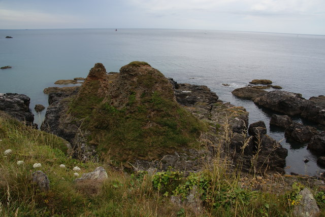
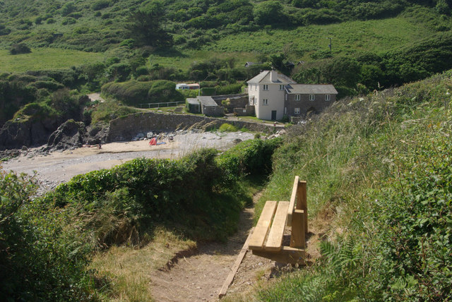
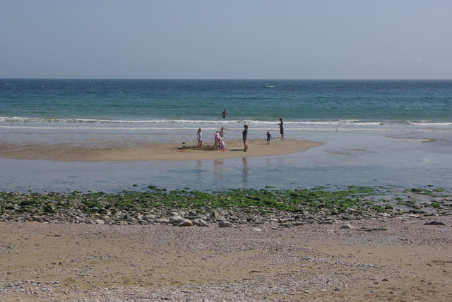
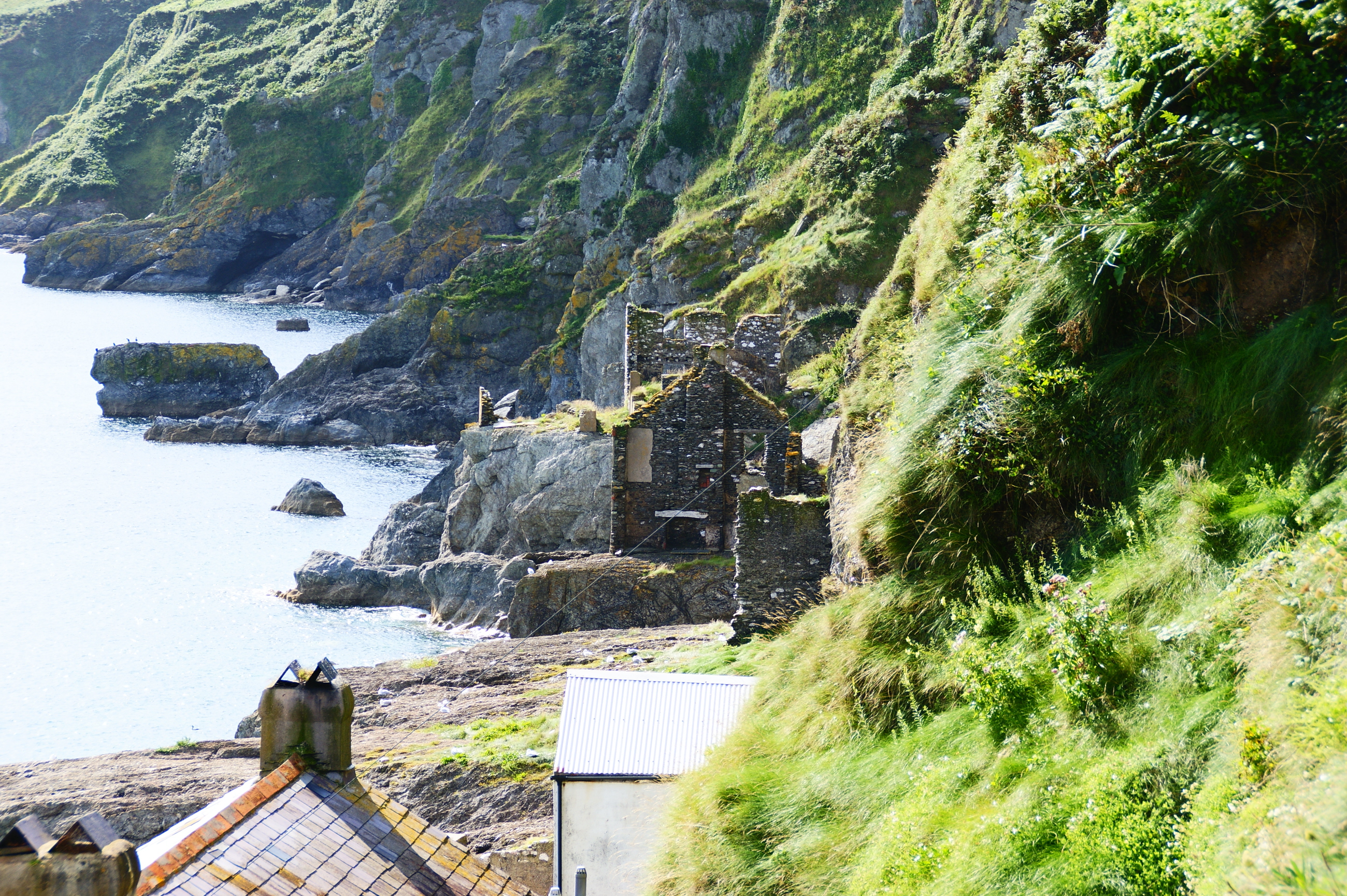
Ballsaddle Rock, located in Devon, is a small uninhabited island situated off the south coast of England. This rocky outcrop is part of the Jurassic Coast, a UNESCO World Heritage Site known for its rich geological history. Ballsaddle Rock is surrounded by the English Channel and is accessible only by boat.
The island itself is approximately 300 meters in length and has an elevation of about 20 meters, with rugged cliffs dominating its coastline. It is made up of limestone and chalk, typical of the geological formations found along the Jurassic Coast. The name "Ballsaddle" is derived from the Old English words "beall" meaning bald and "saddel" meaning saddle, likely referring to the island's distinctive shape.
Ballsaddle Rock is home to a variety of seabirds, including guillemots, gulls, and cormorants, which use the island as a nesting site during the breeding season. The surrounding waters are also rich in marine life, providing a habitat for various species of fish and crustaceans.
Due to its remote location and lack of facilities, Ballsaddle Rock is not open to the public and is primarily visited by wildlife enthusiasts and researchers interested in studying the island's unique ecosystem. The island's rocky terrain and absence of vegetation make it a challenging environment for visitors to navigate, further contributing to its limited accessibility.
Overall, Ballsaddle Rock is a fascinating and picturesque island that plays an important role in the biodiversity of the Jurassic Coast, showcasing the region's geological and ecological significance.
If you have any feedback on the listing, please let us know in the comments section below.
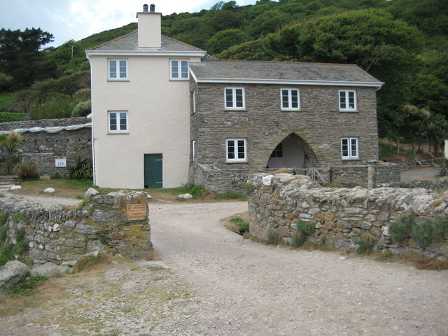
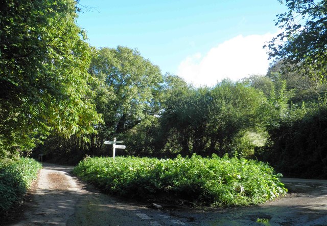
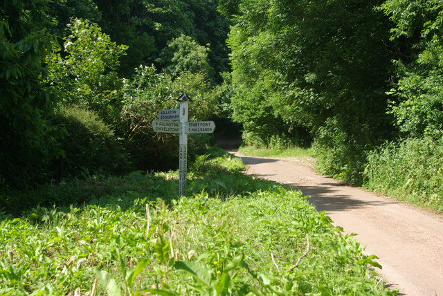
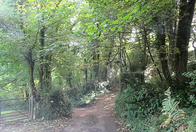
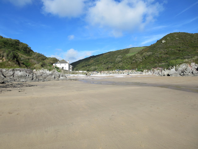
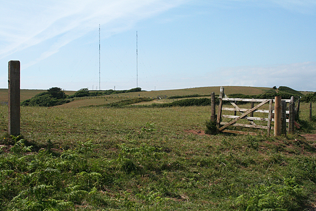
Ballsaddle Rock Images
Images are sourced within 2km of 50.215907/-3.6874163 or Grid Reference SX7936. Thanks to Geograph Open Source API. All images are credited.


Ballsaddle Rock is located at Grid Ref: SX7936 (Lat: 50.215907, Lng: -3.6874163)
Administrative County: Devon
Police Authority: Devon and Cornwall
What 3 Words
///roughest.whom.fault. Near Salcombe, Devon
Nearby Locations
Related Wikis

East Prawle
East Prawle is a village in Chivelstone parish in the South Hams district of Devon, England. It is situated on the coast south east of Salcombe, near the...

Chivelstone
Chivelstone is a village and civil parish in Devon, England. The parish contains the villages of East Prawle and South Allington as well as the hamlets...

RNAS Prawle Point
The RNAS Naval Air Station Prawle Point was a British First World War airfield outside the village of East Prawle in Devon, England and 2.6 miles (4.2...
Start Point transmitting station
The Start Point transmitting station is a broadcasting facility at Start Point, Devon, owned by Arqiva. The site is just north-west of the Start Point...

Prawle Point
Prawle Point (Old English: Prǣwhyll, "lookout hill") is a coastal headland in south Devon, England. It is the southernmost point of Devon. Just to the...
Hallsands
Hallsands is a village and beach in south Devon, England, in a precarious position between cliffs and the sea, between Beesands to the north and Start...

Start Point, Devon
Start Point is a promontory in the South Hams district in Devon, England, grid reference SX832370. Close to the most southerly point in the county, it...

Salcombe Cannon Wreck
The Salcombe Cannon wrecksite is close to two other designated wrecksites in the Erme Estuary which the South West Maritime Archaeological Group (SWMAG...
Nearby Amenities
Located within 500m of 50.215907,-3.6874163Have you been to Ballsaddle Rock?
Leave your review of Ballsaddle Rock below (or comments, questions and feedback).