Ballsaddle Lake

Sea, Estuary, Creek in Devon

England

Ballsaddle Lake

The result of coastal erosion There are two pillars of earth remaining which just about attain the height of the nearby cliff, but the sea has clearly removed all the surrounding ground.
The result of coastal erosion Credit: Bill Boaden

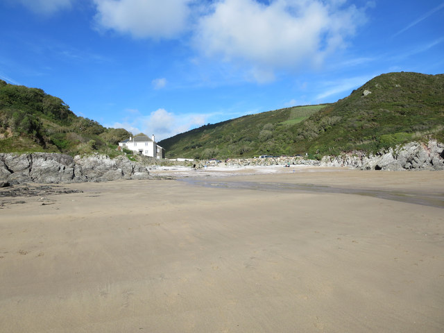
Ballsaddle Lake is a picturesque body of water located in the county of Devon, England. Situated in the southwestern part of the county, it forms part of the larger estuary system known as the River Teign Estuary. With its tranquil surroundings and stunning natural beauty, Ballsaddle Lake is a popular destination for locals and tourists alike.

The lake is predominantly a tidal estuary, meaning its water levels fluctuate with the changing tides of the nearby sea. This unique characteristic gives Ballsaddle Lake a dynamic and ever-changing landscape, as the water levels rise and fall throughout the day. The estuary is home to a diverse range of flora and fauna, making it an important ecological habitat.

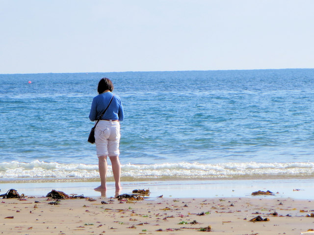
Ballsaddle Lake is encompassed by rolling hills and lush greenery, providing a serene and idyllic setting for visitors. The estuary itself is characterized by calm waters, making it ideal for a variety of recreational activities such as boating, kayaking, and fishing. The surrounding area offers ample opportunities for hiking and nature walks, with several trails leading to beautiful viewpoints overlooking the lake.

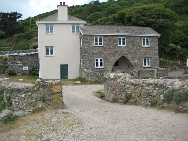
The nearby village of Ballsaddle is a charming and quaint settlement, offering amenities and services for those visiting the lake. Local establishments provide opportunities for refreshments and dining, allowing visitors to relax and soak in the peaceful atmosphere.

Overall, Ballsaddle Lake is a hidden gem in the Devon countryside, offering a tranquil escape for those seeking natural beauty and outdoor activities. Its unique tidal estuary system and stunning surroundings make it a must-visit location for nature enthusiasts and those looking to unwind in a serene environment.

If you have any feedback on the listing, please let us know in the comments section below.

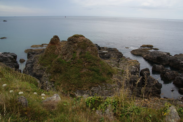
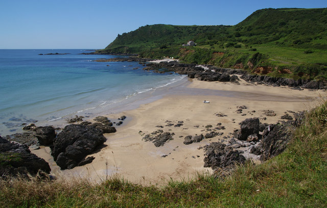
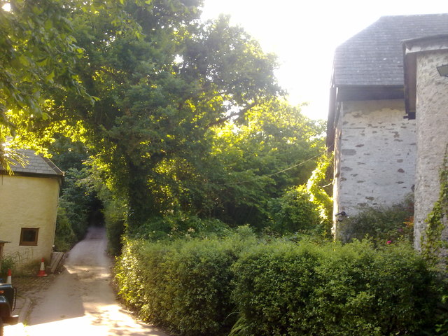
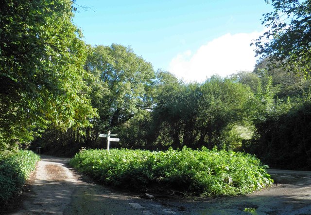
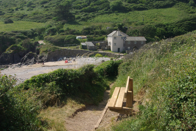
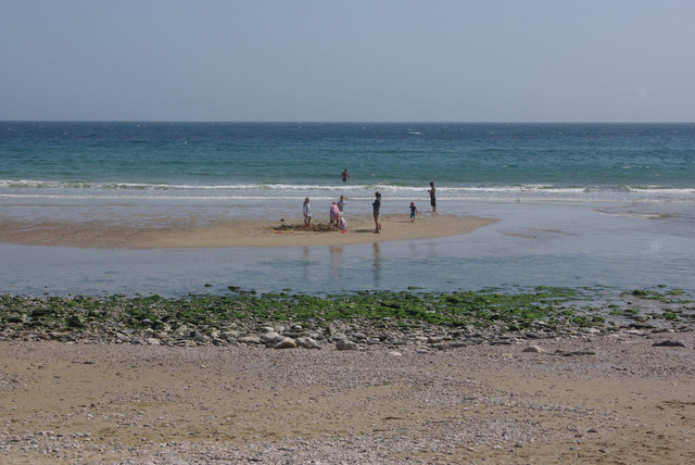
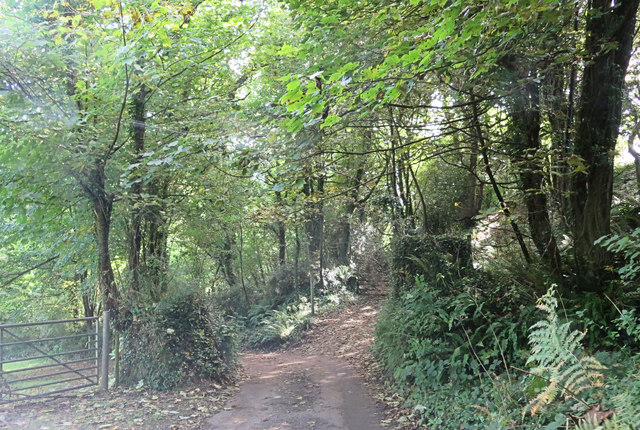
Ballsaddle Lake Images

Images are sourced within 2km of 50.215959/-3.6887778 or Grid Reference SX7936. Thanks to Geograph Open Source API. All images are credited.

The result of coastal erosion There are two pillars of earth remaining which just about attain the height of the nearby cliff, but the sea has clearly removed all the surrounding ground.
The result of coastal erosion
There are two pillars of earth remaining which just about attain the height of the nearby cliff, but the sea has clearly removed all the surrounding ground.
Coastal path approaching The Narrows The Narrows is a coastal strip with some farmland that does not appear particularly narrow. It is just around the point ahead. Beyond is Woodcombe Point.
Coastal path approaching The Narrows
The Narrows is a coastal strip with some farmland that does not appear particularly narrow. It is just around the point ahead. Beyond is Woodcombe Point.
Lannacombe Beach
Lannacombe Beach
The coastal path approaching Lannacombe Beach
Houses at Lannacombe Green It was difficult to get a clear view as the valley bottom is thickly wooded.
Houses at Lannacombe Green
It was difficult to get a clear view as the valley bottom is thickly wooded.
Lannacombe Bay View across Lannacombe Bay from above the cliff edge just inside this grid square.  In the background the coastline stretches on to Prawle Point.
Lannacombe Bay
View across Lannacombe Bay from above the cliff edge just inside this grid square. In the background the coastline stretches on to Prawle Point.
Lannacombe Bay View across Lannacombe Bay and Harris's Beach from the coast path.
Lannacombe Bay
View across Lannacombe Bay and Harris's Beach from the coast path.
Limpet Cove Rocks exposed by low tide in Limpet Cove to the west of Start Point viewed from the South West Coast Path.
Limpet Cove
Rocks exposed by low tide in Limpet Cove to the west of Start Point viewed from the South West Coast Path.
Lannacombe Cottage Converted from a former lime kiln.
Lannacombe Cottage
Converted from a former lime kiln.
Lannacombe Green road junction The lanes around here are amazingly narrow.
Lannacombe Green road junction
The lanes around here are amazingly narrow.
Lannacombe The coastal path winds down to the beach at Lannacombe.
Lannacombe
The coastal path winds down to the beach at Lannacombe.
Lannacombe Beach Children play on an island of sand at this remote south Devon beach.
Lannacombe Beach
Children play on an island of sand at this remote south Devon beach.
Un-named track and lane junction east of Lannacombe Green
Lannacombe Beach
Lannacombe Beach
Lannacombe Bay the tide's edge
Track approaching Lannacombe Beach
Lannacombe Beach Looking East from the coast path.
Lannacombe Beach
Looking East from the coast path.
Lannacombe Cottage Just above the beach.
Lannacombe Cottage
Just above the beach.
Show me another place!

Ballsaddle Lake is located at Grid Ref: SX7936 (Lat: 50.215959, Lng: -3.6887778)

Administrative County: Devon

Police Authority: Devon and Cornwall

What 3 Words

///intruders.pickles.tiles. Near Salcombe, Devon

Related Wikis

East Prawle

East Prawle is a village in Chivelstone parish in the South Hams district of Devon, England. It is situated on the coast south east of Salcombe, near the...

Chivelstone

Chivelstone is a village and civil parish in Devon, England. The parish contains the villages of East Prawle and South Allington as well as the hamlets...

RNAS Prawle Point

The RNAS Naval Air Station Prawle Point was a British First World War airfield outside the village of East Prawle in Devon, England and 2.6 miles (4.2...

Start Point transmitting station

The Start Point transmitting station is a broadcasting facility at Start Point, Devon, owned by Arqiva. The site is just north-west of the Start Point...

Nearby Amenities

Located within 500m of 50.215959,-3.6887778
Source: PGS
Lat/Long: 50.2169412/-3.6885637
Bench
Lat/Long: 50.2143557/-3.6949919
Bench
Backrest: no
Lat/Long: 50.2172787/-3.6896734
Access: private
Leisure: slipway
Lat/Long: 50.2189832/-3.6888174
Ford: yes
Lat/Long: 50.2190667/-3.6890618
The data included in this document is from www.openstreetmap.org. The data is made available under ODbL.

Have you been to Ballsaddle Lake?

Leave your review of Ballsaddle Lake below (or comments, questions and feedback).