North Venhay Copse

Downs, Moorland in Devon North Devon

England

North Venhay Copse

Meshaw : Track A track heads off from the road.
Meshaw : Track Credit: Lewis Clarke

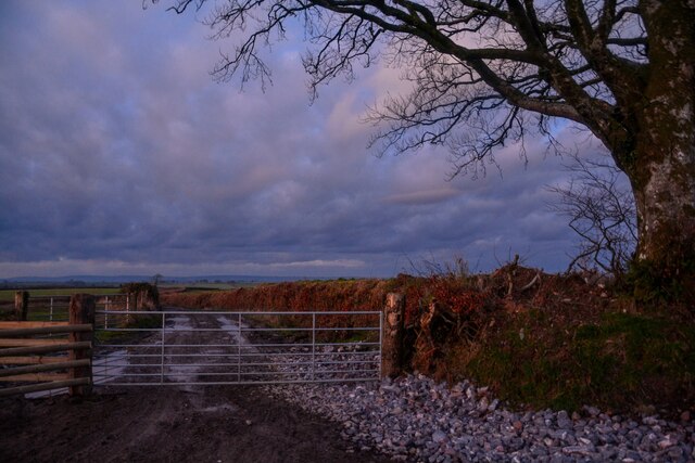
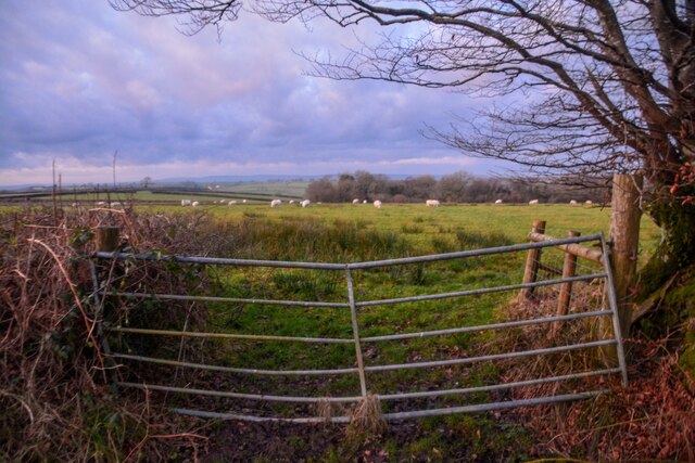
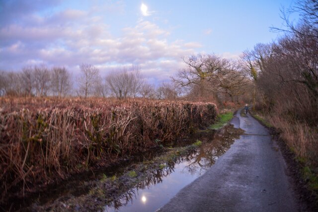
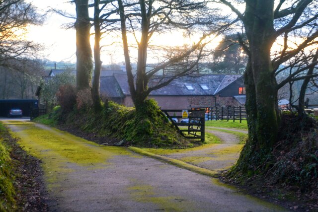
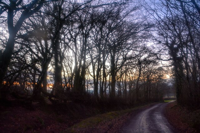
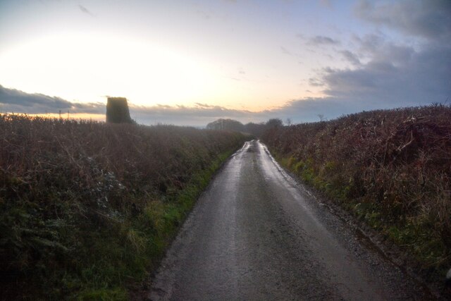
North Venhay Copse is a picturesque woodland located in Devon, England. Situated in the Downs region, it offers a serene and tranquil escape from the hustle and bustle of modern life. Spanning over a vast area, the copse is surrounded by rolling hills and expansive moorland, providing visitors with breathtaking views of the surrounding countryside.

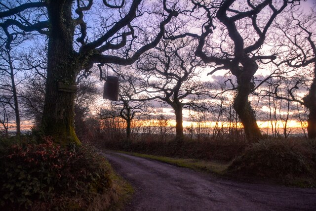
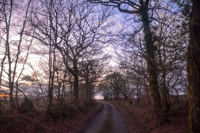
The copse itself is predominantly made up of ancient oak trees, which have stood the test of time and add to the copse's charm and beauty. The dense canopy created by these majestic trees creates a soothing atmosphere, casting dappled sunlight on the forest floor below. The woodland floor is covered in a rich carpet of mosses, ferns, and wildflowers, further enhancing the copse's natural splendor.

North Venhay Copse is home to a diverse range of wildlife, making it a haven for nature enthusiasts. Birdwatchers can spot species such as woodpeckers, owls, and various songbirds amidst the treetops, while small mammals like squirrels and rabbits scuttle through the undergrowth. The copse also provides a habitat for an array of insects, including butterflies and beetles.

For outdoor enthusiasts, North Venhay Copse offers a network of walking trails that wind their way through the woodland, allowing visitors to explore its hidden corners and discover its hidden treasures. The copse is also a popular spot for picnics and provides a peaceful setting to relax and unwind.

In summary, North Venhay Copse in Devon is a captivating woodland that showcases the natural beauty of the region. With its ancient oak trees, diverse wildlife, and stunning views, it is a must-visit destination for nature lovers and those seeking a tranquil retreat.

If you have any feedback on the listing, please let us know in the comments section below.

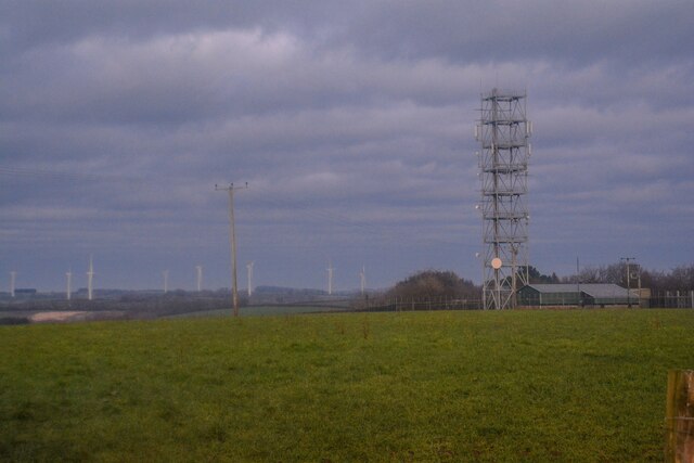
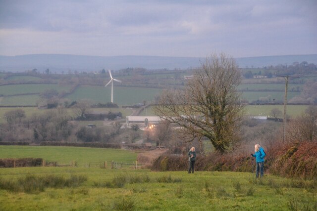
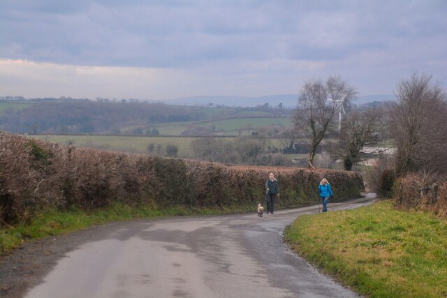
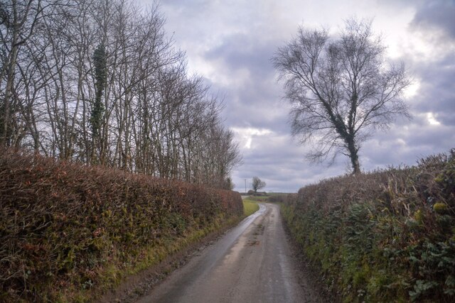
North Venhay Copse Images

Images are sourced within 2km of 50.958295/-3.7194409 or Grid Reference SS7919. Thanks to Geograph Open Source API. All images are credited.

Meshaw : Track A track heads off from the road.
Meshaw : Track
A track heads off from the road.
Meshaw : Grassy Field & Gate Sheep are in the field.
Meshaw : Grassy Field & Gate
Sheep are in the field.
Meshaw : Track A track heading to Blacklands.
Meshaw : Track
A track heading to Blacklands.
Meshaw : Country Lane A small lane heads through the countryside.
Meshaw : Country Lane
A small lane heads through the countryside.
Meshaw : Country Lane A small lane heads through the countryside.
Meshaw : Country Lane
A small lane heads through the countryside.
Meshaw : East Whitestone Looking towards a house in the countryside.
Meshaw : East Whitestone
Looking towards a house in the countryside.
Rose Ash : Country Lane A small lane heads through the countryside.
Rose Ash : Country Lane
A small lane heads through the countryside.
Rose Ash : Country Lane A trig point can be seen on the left.
Rose Ash : Country Lane
A trig point can be seen on the left.
Rose Ash : Country Lane Near the junction of Harp's Corner Cross.
Rose Ash : Country Lane
Near the junction of Harp's Corner Cross.
Rose Ash : Country Lane A small lane at Harp's Corner Cross beyond the gate.
Rose Ash : Country Lane
A small lane at Harp's Corner Cross beyond the gate.
Rose Ash : Grassy Field A mast in the corner of the field.
Rose Ash : Grassy Field
A mast in the corner of the field.
Rose Ash : Grassy Field Looking across the countryside.
Rose Ash : Grassy Field
Looking across the countryside.
Rose Ash : Country Lane The road heads down the hill.
Rose Ash : Country Lane
The road heads down the hill.
Rose Ash : Country Lane The lane heads up the hill.
Rose Ash : Country Lane
The lane heads up the hill.
Rose Ash : Country Lane Looking along the road.
Rose Ash : Country Lane
Looking along the road.
Rose Ash : Track A track heads to The Hatchery.
Rose Ash : Track
A track heads to The Hatchery.
Rose Ash: The Ridge Farm near Fanny’s Cross. Looking north east
Rose Ash: The Ridge
Farm near Fanny’s Cross. Looking north east
Rose Ash: barns near Densdon Gate On the edge of Ditchett Moor, looking east-north-east
Rose Ash: barns near Densdon Gate
On the edge of Ditchett Moor, looking east-north-east
Show me another place!

North Venhay Copse is located at Grid Ref: SS7919 (Lat: 50.958295, Lng: -3.7194409)

Administrative County: Devon

District: North Devon

Police Authority: Devon and Cornwall

What 3 Words

///evidence.pegged.canoe. Near Witheridge, Devon

Related Wikis

Creacombe

Creacombe is a small village and former civil parish, now in the parish of Rackenford, in the North Devon district of Devon, England. Its nearest town...

Rose Ash

Rose Ash, formerly Ralph-Esse, is a village and civil parish in North Devon district, Devon, England. In the 2011 census it was recorded as having a population...

Batsworthy

Batsworthy is a village in Devon, England. == References ==

Meshaw

Meshaw is a village and civil parish in the North Devon district of Devon, England. Its nearest town is South Molton, which lies approximately 5.9 miles...

Nearby Amenities

Located within 500m of 50.958295,-3.7194409
Venhay Cross
Junction: yes
Source: OS OpenData StreetView
Lat/Long: 50.9617994/-3.7205583
Man Made: mast
Tower Construction: lattice
Tower Type: communication
Lat/Long: 50.9620539/-3.7215932
Power: pole
Source: bing
Lat/Long: 50.9617506/-3.7231223
Poles: bipole
Power: pole
Source: bing
Transformer: distribution
Lat/Long: 50.9617931/-3.721865
Power: pole
Source: bing
Lat/Long: 50.9610207/-3.7171424
Power: pole
Source: bing
Transformer: distribution
Lat/Long: 50.9617238/-3.7170955
Power: pole
Source: bing
Lat/Long: 50.9602777/-3.7173038
Power: pole
Source: bing
Lat/Long: 50.9596189/-3.7177117
Power: pole
Source: bing
Lat/Long: 50.9588436/-3.7181694
Power: pole
Source: bing
Lat/Long: 50.9558541/-3.719924
Power: pole
Source: bing
Lat/Long: 50.9581237/-3.7185934
Power: pole
Source: bing
Lat/Long: 50.9571756/-3.7191641
Power: pole
Source: bing
Lat/Long: 50.9564751/-3.719591
Power: pole
Source: bing
Lat/Long: 50.9550288/-3.7216889
Power: pole
Source: bing
Lat/Long: 50.9555001/-3.7246568
Power: pole
Source: bing
Lat/Long: 50.9553033/-3.7231766
Power: pole
Source: bing
Lat/Long: 50.9549308/-3.7204859
Power: pole
Source: bing
Lat/Long: 50.9547599/-3.7192536
Power: pole
Source: bing
Lat/Long: 50.9545787/-3.7179303
Power: pole
Source: bing
Lat/Long: 50.9543523/-3.7163179
The data included in this document is from www.openstreetmap.org. The data is made available under ODbL.

Have you been to North Venhay Copse?

Leave your review of North Venhay Copse below (or comments, questions and feedback).