Ash Moor

Settlement in Devon North Devon

England

Ash Moor

Meshaw : Country Lane A small lane heads through the countryside.
Meshaw : Country Lane Credit: Lewis Clarke

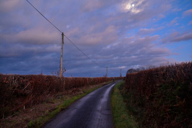
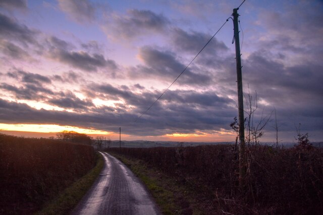
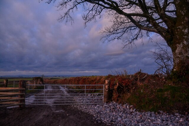
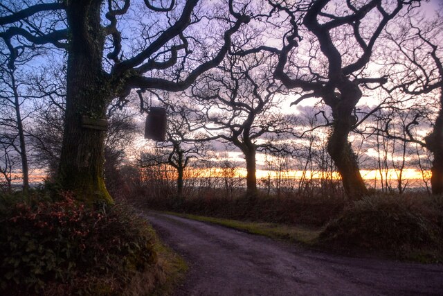
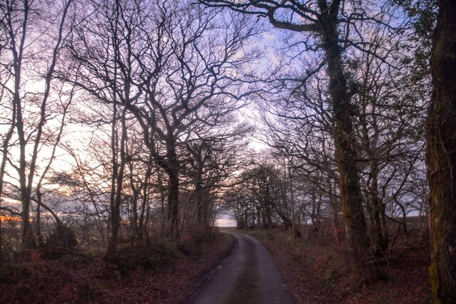
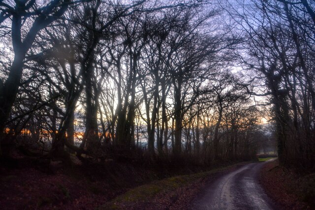
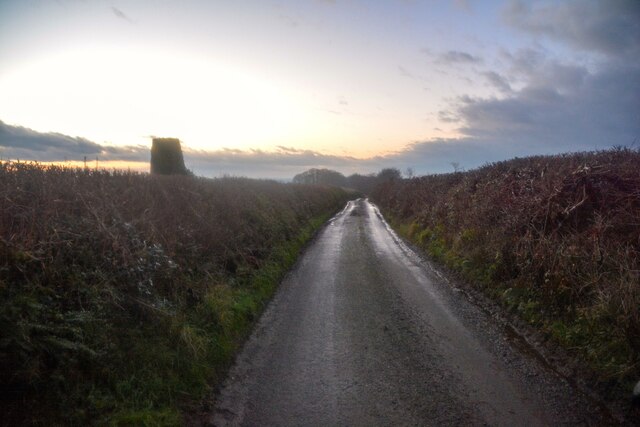
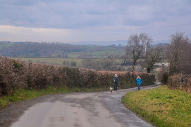
Ash Moor is a rural area located in the county of Devon, England. Situated approximately 5 miles north of the town of South Molton, it covers an area of around 6 square miles. The moor is characterized by its vast stretches of open grassland, interspersed with small pockets of woodland and a few scattered farmhouses.

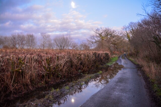
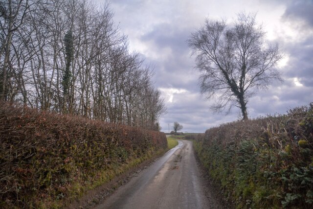
The landscape of Ash Moor is predominantly flat, with gentle slopes and the occasional small hill. It is crisscrossed by several small streams and a few narrow lanes, making it a haven for nature enthusiasts and walkers who enjoy exploring the tranquil countryside.

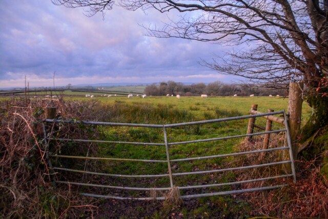
The moor is home to a variety of plant and animal species, including several types of wildflowers, birds, and small mammals. It also contains a number of archaeological sites, such as ancient burial mounds and stone circles, which provide insight into its rich history.

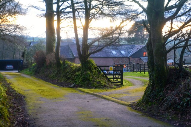
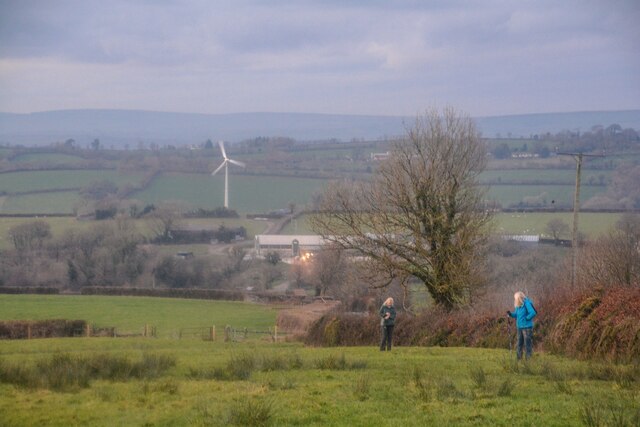
Ash Moor is primarily used for agricultural purposes, with local farmers rearing livestock and cultivating crops in the fertile soil. The area is known for its dairy farming, and the surrounding fields are often dotted with grazing cows.

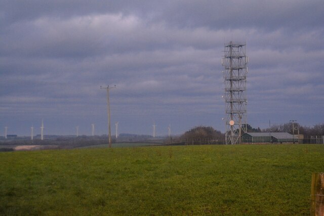
Despite its remote location, Ash Moor is easily accessible by road, with several minor roads connecting it to nearby towns and villages. It offers a peaceful retreat for those seeking to escape the hustle and bustle of urban life and immerse themselves in the natural beauty of rural Devon.

If you have any feedback on the listing, please let us know in the comments section below.

Ash Moor Images

Images are sourced within 2km of 50.957685/-3.7242027 or Grid Reference SS7919. Thanks to Geograph Open Source API. All images are credited.

Meshaw : Country Lane A small lane heads through the countryside.
Meshaw : Country Lane
A small lane heads through the countryside.
Meshaw : Country Lane A small lane heads through the countryside.
Meshaw : Country Lane
A small lane heads through the countryside.
Meshaw : Track A track heads off from the road.
Meshaw : Track
A track heads off from the road.
Meshaw : Grassy Field & Gate Sheep are in the field.
Meshaw : Grassy Field & Gate
Sheep are in the field.
Meshaw : Track A track heading to Blacklands.
Meshaw : Track
A track heading to Blacklands.
Meshaw : Country Lane A small lane heads through the countryside.
Meshaw : Country Lane
A small lane heads through the countryside.
Meshaw : Country Lane A small lane heads through the countryside.
Meshaw : Country Lane
A small lane heads through the countryside.
Meshaw : East Whitestone Looking towards a house in the countryside.
Meshaw : East Whitestone
Looking towards a house in the countryside.
Rose Ash : Country Lane A small lane heads through the countryside.
Rose Ash : Country Lane
A small lane heads through the countryside.
Rose Ash : Country Lane A trig point can be seen on the left.
Rose Ash : Country Lane
A trig point can be seen on the left.
Rose Ash : Country Lane Near the junction of Harp's Corner Cross.
Rose Ash : Country Lane
Near the junction of Harp's Corner Cross.
Rose Ash : Country Lane A small lane at Harp's Corner Cross beyond the gate.
Rose Ash : Country Lane
A small lane at Harp's Corner Cross beyond the gate.
Rose Ash : Grassy Field A mast in the corner of the field.
Rose Ash : Grassy Field
A mast in the corner of the field.
Rose Ash : Grassy Field Looking across the countryside.
Rose Ash : Grassy Field
Looking across the countryside.
Rose Ash : Country Lane The road heads down the hill.
Rose Ash : Country Lane
The road heads down the hill.
Rose Ash : Country Lane The lane heads up the hill.
Rose Ash : Country Lane
The lane heads up the hill.
Rose Ash : Country Lane Looking along the road.
Rose Ash : Country Lane
Looking along the road.
Rose Ash : Track A track heads to The Hatchery.
Rose Ash : Track
A track heads to The Hatchery.
Show me another place!

Ash Moor is located at Grid Ref: SS7919 (Lat: 50.957685, Lng: -3.7242027)

Administrative County: Devon

District: North Devon

Police Authority: Devon and Cornwall

What 3 Words

///retailing.grounding.boardroom. Near Witheridge, Devon

Related Wikis

Rose Ash

Rose Ash, formerly Ralph-Esse, is a village and civil parish in North Devon district, Devon, England. In the 2011 census it was recorded as having a population...

Creacombe

Creacombe is a small village and former civil parish, now in the parish of Rackenford, in the North Devon district of Devon, England. Its nearest town...

Meshaw

Meshaw is a village and civil parish in the North Devon district of Devon, England. Its nearest town is South Molton, which lies approximately 5.9 miles...

Batsworthy

Batsworthy is a village in Devon, England. == References ==

Ash Mill

Ash Mill is a village in Devon, England.Ashmill was the site of Ashwater station on the former L.S.W.R. North Cornwall line which closed in the 1960s....

Witheridge

Witheridge is a village and civil parish in the North Devon district of Devon, England. In 2001 the population of the parish was 1162, reducing slightly...

East Worlington

East Worlington is a civil parish and hamlet in the North Devon administrative area, in the English county of Devon, England.In 2001, the village had 241...

Mariansleigh

Mariansleigh is a village and civil parish in Devon, England. In 2021 the parish had a population of 170. == External links == GENUKI Mariansleigh Page

Nearby Amenities

Located within 500m of 50.957685,-3.7242027
Power: pole
Source: bing
Lat/Long: 50.9559086/-3.7276497
Power: pole
Source: bing
Lat/Long: 50.9561156/-3.7291241
Power: pole
Source: bing
Lat/Long: 50.9562902/-3.7304196
Power: pole
Source: bing
Lat/Long: 50.9615834/-3.7270863
Power: pole
Source: bing
Lat/Long: 50.9616194/-3.726209
Power: pole
Source: bing
Lat/Long: 50.9616564/-3.7253405
Power: pole
Source: bing
Lat/Long: 50.9617026/-3.7242402
Power: pole
Source: bing
Lat/Long: 50.9617506/-3.7231223
Poles: bipole
Power: pole
Source: bing
Transformer: distribution
Lat/Long: 50.9617931/-3.721865
Power: pole
Source: bing
Lat/Long: 50.9588436/-3.7181694
Power: pole
Source: bing
Lat/Long: 50.9558541/-3.719924
Power: pole
Source: bing
Lat/Long: 50.9581237/-3.7185934
Power: pole
Source: bing
Lat/Long: 50.9571756/-3.7191641
Power: pole
Source: bing
Lat/Long: 50.9564751/-3.719591
Power: pole
Source: bing
Lat/Long: 50.955708/-3.7261386
Power: pole
Source: bing
Lat/Long: 50.9550288/-3.7216889
Power: pole
Source: bing
Lat/Long: 50.9555001/-3.7246568
Power: pole
Source: bing
Lat/Long: 50.9553033/-3.7231766
Power: pole
Source: bing
Lat/Long: 50.9549308/-3.7204859
Power: pole
Source: bing
Lat/Long: 50.9547599/-3.7192536
The data included in this document is from www.openstreetmap.org. The data is made available under ODbL.

Have you been to Ash Moor?

Leave your review of Ash Moor below (or comments, questions and feedback).