West Burrow Moor
Downs, Moorland in Devon North Devon
England
West Burrow Moor
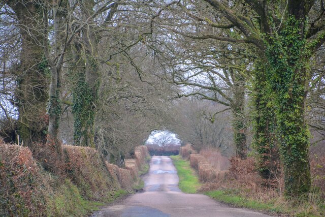
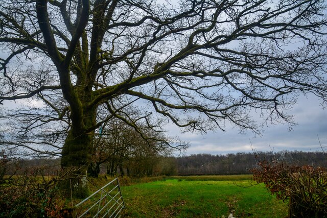
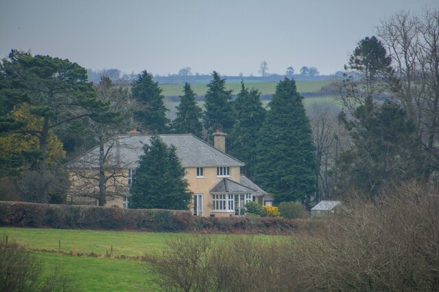
West Burrow Moor is a vast expanse of moorland located in Devon, England. Situated in the heart of the county, it covers an area of approximately 10 square kilometers and is part of the larger Dartmoor National Park. The moorland is characterized by its rolling hills, open grasslands, and patches of dense heather.
West Burrow Moor is renowned for its outstanding natural beauty and is a popular destination for nature lovers, hikers, and bird watchers. The moorland provides a home to a diverse range of wildlife, including rare bird species such as the Eurasian curlew, golden plover, and skylark. The area is also inhabited by wild ponies and sheep, which graze freely on the open grasslands.
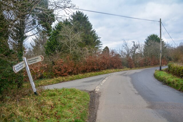
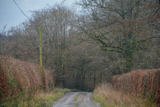
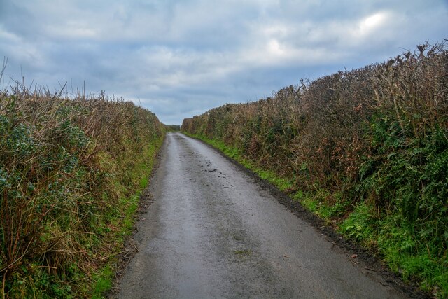
The moorland is crisscrossed by a network of footpaths and trails, allowing visitors to explore the area and take in the breathtaking views. One of the most prominent landmarks on West Burrow Moor is the ancient stone circle known as the Grey Wethers. This double circle of granite stones dates back to the Bronze Age and is a significant archaeological site.
The climate on the moorland can be unpredictable, with frequent changes in weather and strong winds. It is advisable for visitors to come prepared with appropriate clothing and equipment. Additionally, it is important to respect the fragile ecosystem and follow the designated paths to avoid damaging the delicate flora and fauna.
Overall, West Burrow Moor offers a unique and enchanting experience for those seeking to immerse themselves in the beauty of the Devonshire countryside and witness the wonders of untamed moorland.
If you have any feedback on the listing, please let us know in the comments section below.
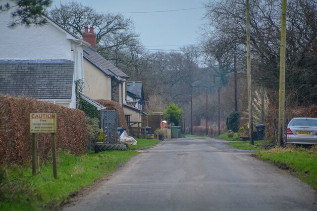
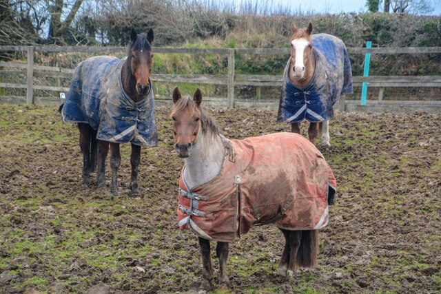
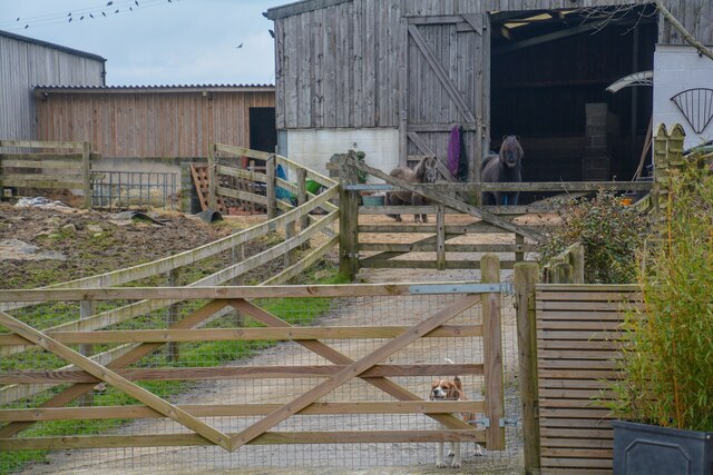
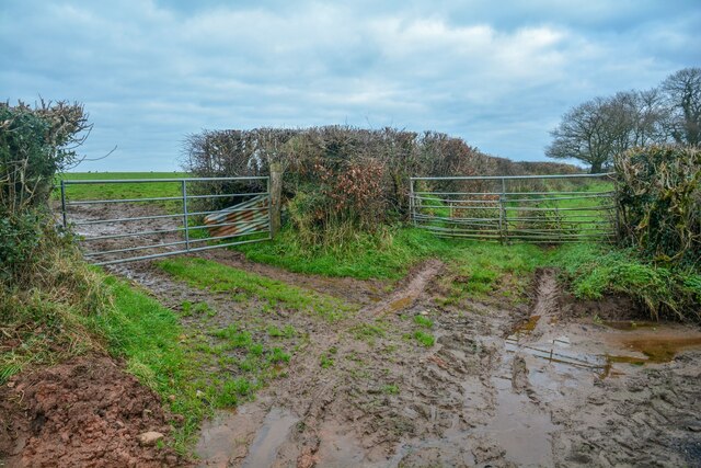
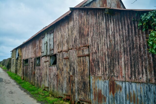
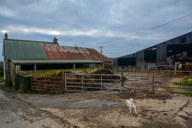
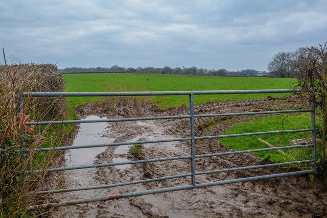
West Burrow Moor Images
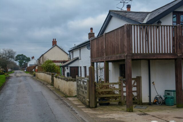
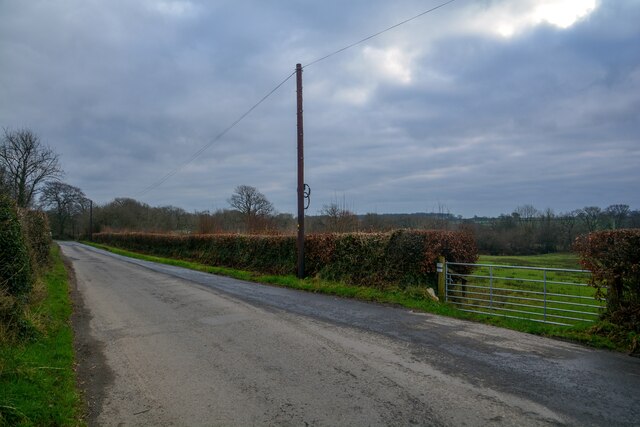
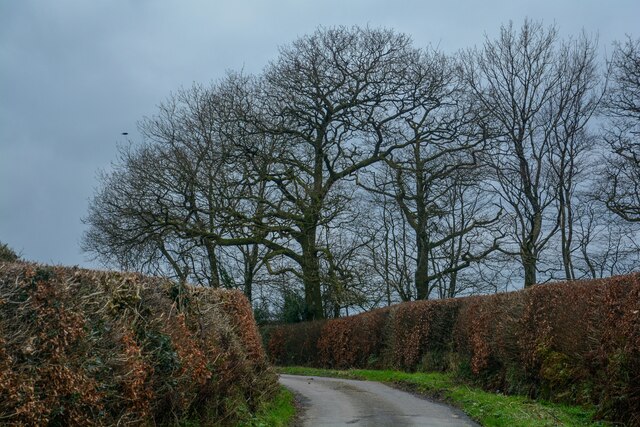
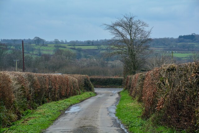
Images are sourced within 2km of 50.942523/-3.7567938 or Grid Reference SS7617. Thanks to Geograph Open Source API. All images are credited.
West Burrow Moor is located at Grid Ref: SS7617 (Lat: 50.942523, Lng: -3.7567938)
Administrative County: Devon
District: North Devon
Police Authority: Devon and Cornwall
What 3 Words
///canines.file.reliving. Near Witheridge, Devon
Nearby Locations
Related Wikis

Meshaw
Meshaw is a village and civil parish in the North Devon district of Devon, England. Its nearest town is South Molton, which lies approximately 5.9 miles...

East Worlington
East Worlington is a civil parish and hamlet in the North Devon administrative area, in the English county of Devon, England.In 2001, the village had 241...
Week, Devon
Week is a small village in the civil parish of Chulmleigh, in the North Devon district of Devon, England. Its nearest town is Chulmleigh, which lies approximately...

Drayford
Drayford is a village in the English county of Devon, approximately 15 miles north west of Exeter. == External links == Media related to Drayford at Wikimedia...
Nearby Amenities
Located within 500m of 50.942523,-3.7567938Have you been to West Burrow Moor?
Leave your review of West Burrow Moor below (or comments, questions and feedback).