Bournebridge Plantation
Wood, Forest in Devon North Devon
England
Bournebridge Plantation
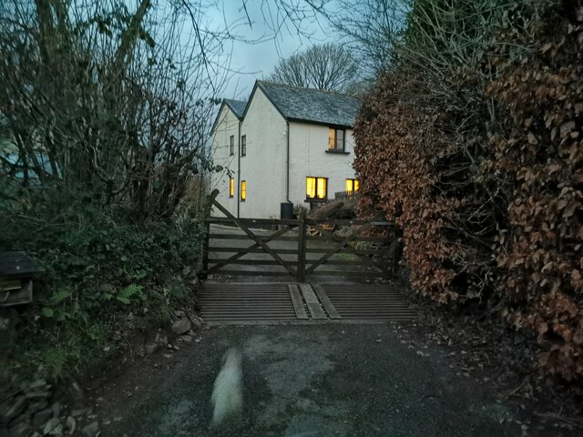
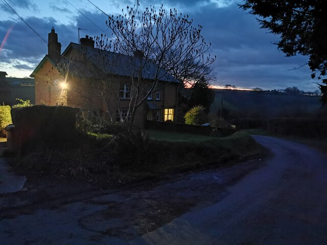
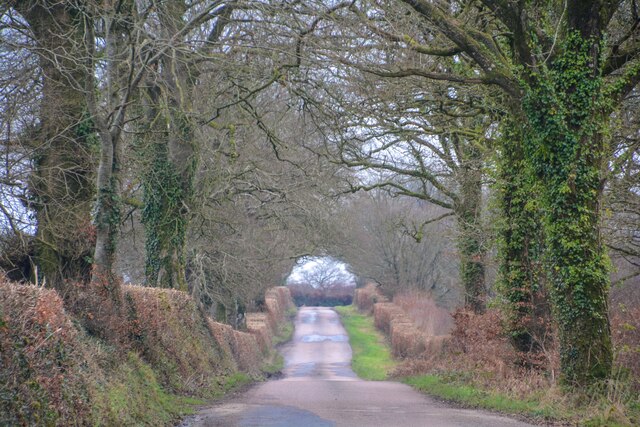
Bournebridge Plantation is a picturesque woodland located in Devon, England. Spanning over a vast area, the plantation is a haven for nature lovers and outdoor enthusiasts alike. The site is easily accessible, situated just a few miles from the town of Wood, making it a popular destination for locals and tourists.
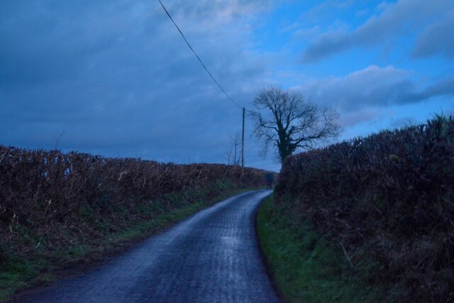
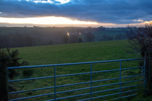
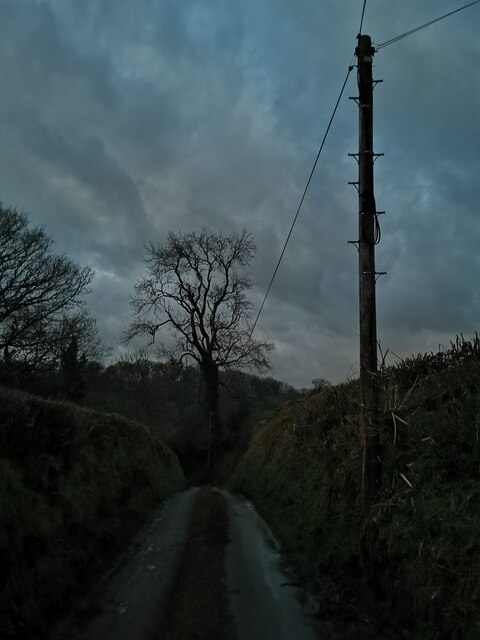
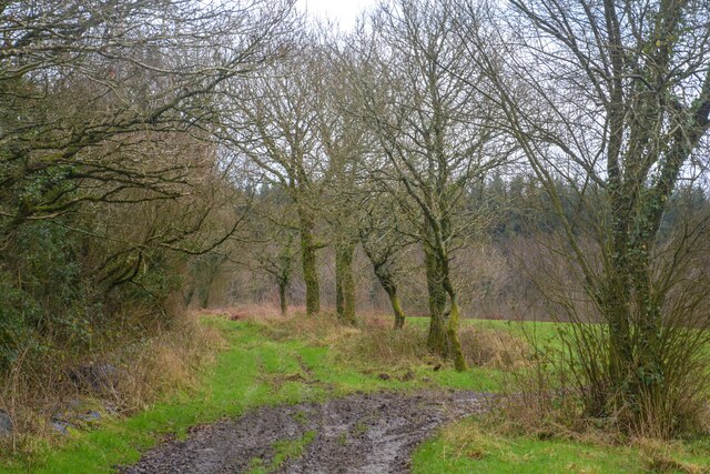
The woodland is known for its dense and diverse vegetation, which includes a mix of deciduous and evergreen trees. The towering oak, beech, and pine trees create a stunning backdrop, providing shade and shelter for the myriad of wildlife that calls this place home. The forest floor is covered in a lush carpet of ferns, wildflowers, and mosses, adding to the natural beauty of the area.
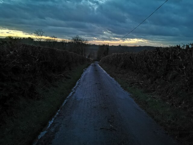
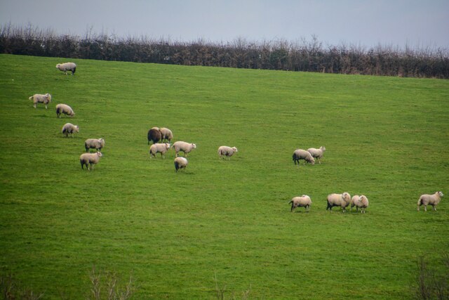
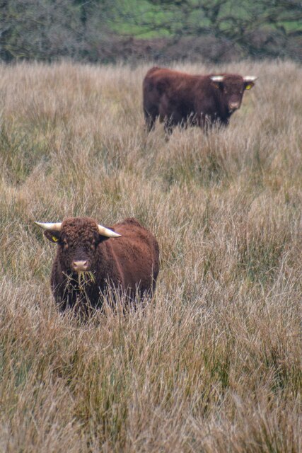
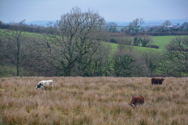
Visitors to Bournebridge Plantation can enjoy a variety of activities. There are well-maintained walking trails that wind through the woodland, allowing visitors to explore the different sections of the plantation. These trails provide an opportunity to observe the local wildlife, including deer, squirrels, and a wide range of bird species.
The plantation is also a popular spot for picnicking and family outings, with several designated picnic areas and open spaces available. Additionally, there are educational programs and guided tours organized by local nature conservation groups to provide visitors with a deeper understanding of the flora and fauna found in the area.
In summary, Bournebridge Plantation in Devon is a thriving woodland that offers a peaceful and serene environment for visitors to connect with nature. Its rich biodiversity, well-maintained trails, and various recreational opportunities make it a must-visit destination for nature enthusiasts and families looking for an outdoor adventure.
If you have any feedback on the listing, please let us know in the comments section below.
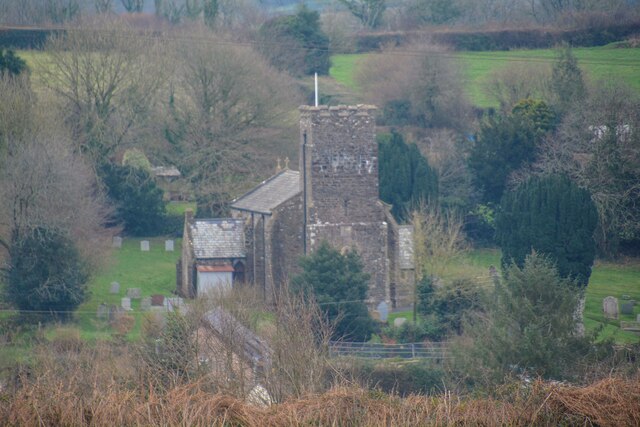
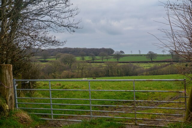
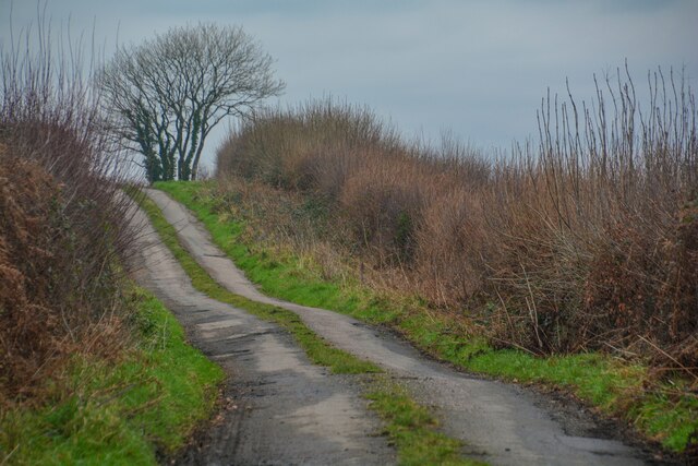
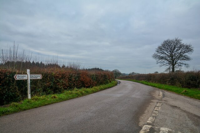
Bournebridge Plantation Images
Images are sourced within 2km of 50.946278/-3.7600104 or Grid Reference SS7617. Thanks to Geograph Open Source API. All images are credited.

Bournebridge Plantation is located at Grid Ref: SS7617 (Lat: 50.946278, Lng: -3.7600104)
Administrative County: Devon
District: North Devon
Police Authority: Devon and Cornwall
What 3 Words
///growl.patch.covers. Near Witheridge, Devon
Nearby Locations
Related Wikis

Meshaw
Meshaw is a village and civil parish in the North Devon district of Devon, England. Its nearest town is South Molton, which lies approximately 5.9 miles...
Week, Devon
Week is a small village in the civil parish of Chulmleigh, in the North Devon district of Devon, England. Its nearest town is Chulmleigh, which lies approximately...

East Worlington
East Worlington is a civil parish and hamlet in the North Devon administrative area, in the English county of Devon, England.In 2001, the village had 241...

Affeton Castle
Affeton Castle is a converted late-medieval gatehouse near East Worlington, Devon, England. It was formerly part of the fortified manor house of Affeton...

Drayford
Drayford is a village in the English county of Devon, approximately 15 miles north west of Exeter. == External links == Media related to Drayford at Wikimedia...

Mariansleigh
Mariansleigh is a village and civil parish in Devon, England. In 2021 the parish had a population of 170. == External links == GENUKI Mariansleigh Page

Romansleigh
Romansleigh is a village and civil parish in the North Devon district of Devon, England. It is surrounded clockwise from the north by the parishes of Mariansleigh...

Rose Ash
Rose Ash, formerly Ralph-Esse, is a village and civil parish in North Devon district, Devon, England. In the 2011 census it was recorded as having a population...
Nearby Amenities
Located within 500m of 50.946278,-3.7600104Have you been to Bournebridge Plantation?
Leave your review of Bournebridge Plantation below (or comments, questions and feedback).