Mouseberry Plantation
Wood, Forest in Devon North Devon
England
Mouseberry Plantation
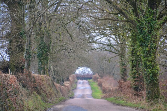
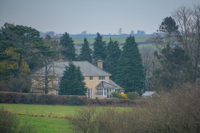
Mouseberry Plantation is a charming woodland located in Devon, England. Spread across several acres, this plantation offers a magnificent display of natural beauty and tranquility. Nestled within the heart of the picturesque countryside, Mouseberry Plantation is a haven for nature enthusiasts and those seeking a peaceful retreat.
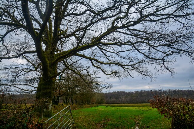
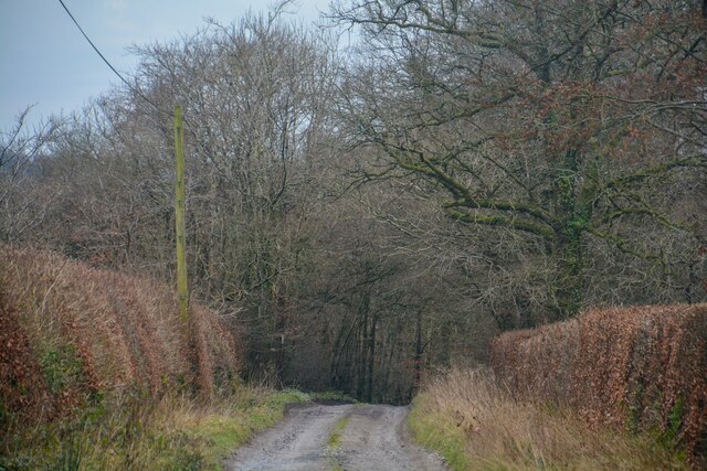
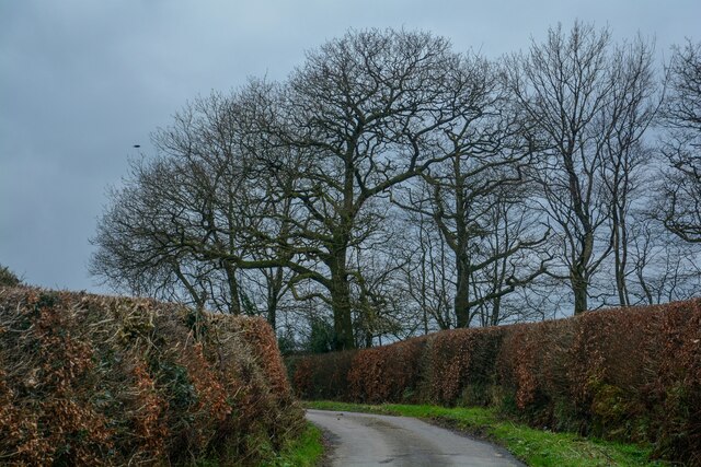
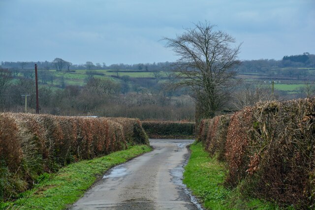
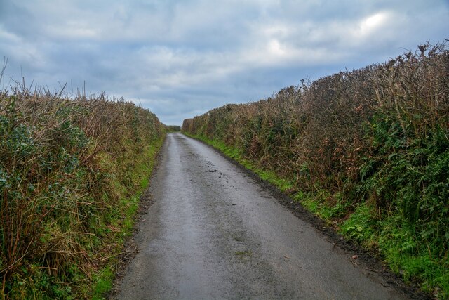
The plantation is primarily composed of dense woodlands, boasting a diverse range of trees including oak, beech, and chestnut. These towering trees create a lush canopy that provides shade and shelter for a plethora of wildlife. The forest floor is adorned with vibrant carpets of moss, ferns, and wildflowers, adding to the enchanting atmosphere of the plantation.
Numerous walking trails wind their way through the plantation, allowing visitors to explore its wonders at their own pace. As one meanders along the paths, they may spot a variety of woodland creatures such as squirrels, rabbits, and deer, as well as a rich assortment of bird species. The air is filled with the sweet melodies of chirping birds and the occasional rustle of leaves, creating a symphony of nature's sounds.
For those interested in history, Mouseberry Plantation also holds significance as an ancient woodland, with archaeological evidence suggesting human activity in the area dating back centuries. The plantation is a testament to the harmonious coexistence between nature and mankind.
Whether one seeks solitude, adventure, or simply wishes to reconnect with nature, Mouseberry Plantation offers an idyllic setting. With its verdant woodlands, captivating wildlife, and serene ambiance, it is a true gem of Devon's natural landscape.
If you have any feedback on the listing, please let us know in the comments section below.
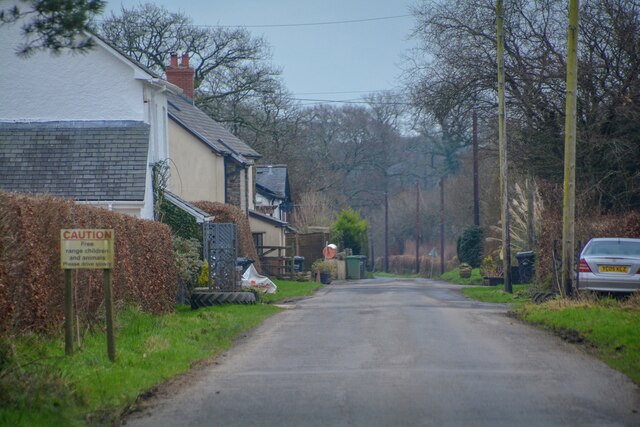
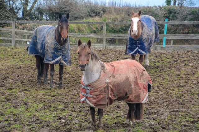
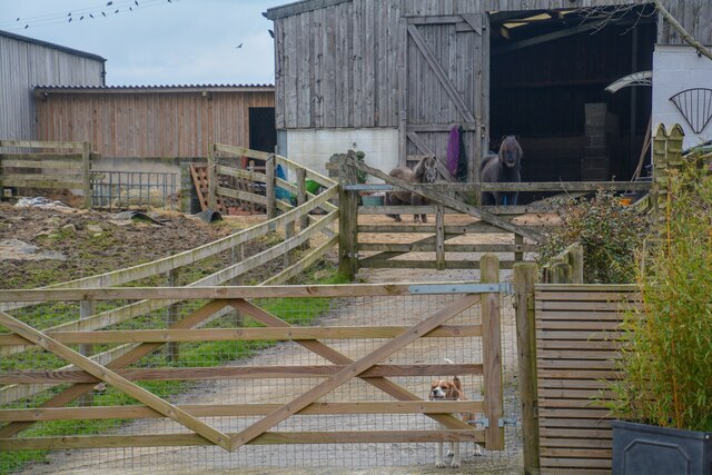
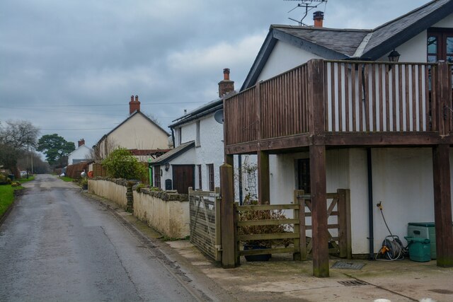
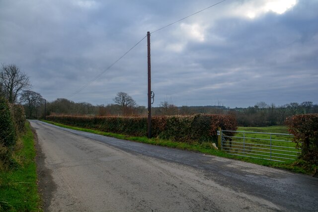
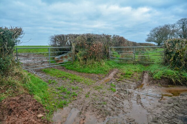
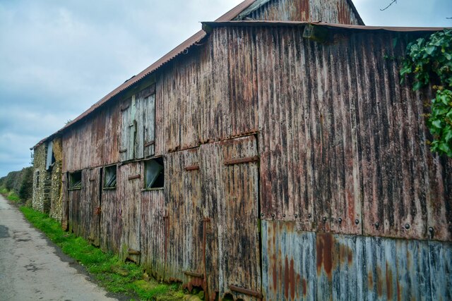
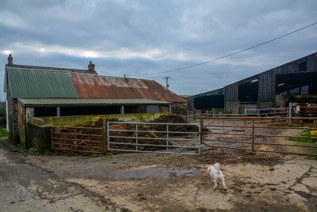
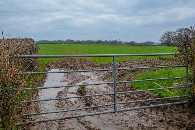
Mouseberry Plantation Images
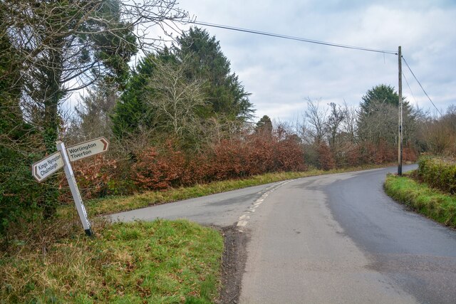
Images are sourced within 2km of 50.942722/-3.7596625 or Grid Reference SS7617. Thanks to Geograph Open Source API. All images are credited.
Mouseberry Plantation is located at Grid Ref: SS7617 (Lat: 50.942722, Lng: -3.7596625)
Administrative County: Devon
District: North Devon
Police Authority: Devon and Cornwall
What 3 Words
///scale.aboard.likely. Near Witheridge, Devon
Nearby Locations
Related Wikis

Meshaw
Meshaw is a village and civil parish in the North Devon district of Devon, England. Its nearest town is South Molton, which lies approximately 5.9 miles...

East Worlington
East Worlington is a civil parish and hamlet in the North Devon administrative area, in the English county of Devon, England.In 2001, the village had 241...
Week, Devon
Week is a small village in the civil parish of Chulmleigh, in the North Devon district of Devon, England. Its nearest town is Chulmleigh, which lies approximately...

Affeton Castle
Affeton Castle is a converted late-medieval gatehouse near East Worlington, Devon, England. It was formerly part of the fortified manor house of Affeton...

Drayford
Drayford is a village in the English county of Devon, approximately 15 miles north west of Exeter. == External links == Media related to Drayford at Wikimedia...

West Worlington
West Worlington is a small village and former civil and ecclesiastical parish, now in the civil parish of East Worlington, in the North Devon district...

Mariansleigh
Mariansleigh is a village and civil parish in Devon, England. In 2021 the parish had a population of 170. == External links == GENUKI Mariansleigh Page

Romansleigh
Romansleigh is a village and civil parish in the North Devon district of Devon, England. It is surrounded clockwise from the north by the parishes of Mariansleigh...
Nearby Amenities
Located within 500m of 50.942722,-3.7596625Have you been to Mouseberry Plantation?
Leave your review of Mouseberry Plantation below (or comments, questions and feedback).