Crooked Moor

Downs, Moorland in Devon North Devon

England

Crooked Moor

East Quince Farm Near South Molton
East Quince Farm Credit: John Phillips

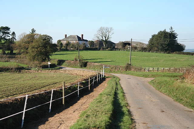
Crooked Moor is a picturesque area located in Devon, England, known for its stunning natural beauty and diverse ecosystems. Situated in the heart of the county, Crooked Moor encompasses both downs and moorland landscapes, offering visitors a rich and varied experience.

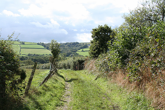
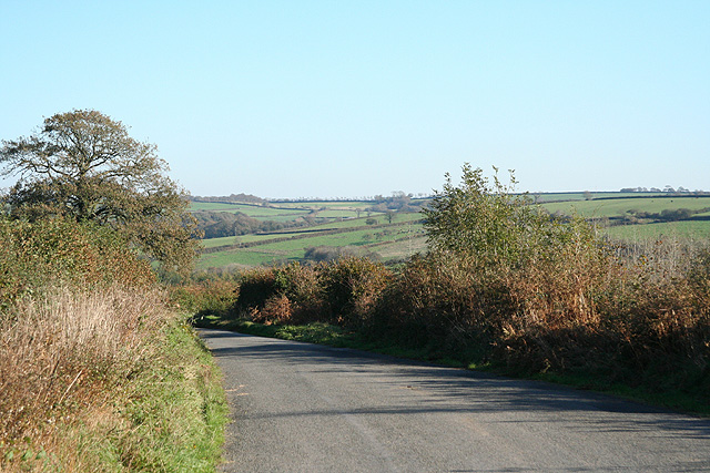
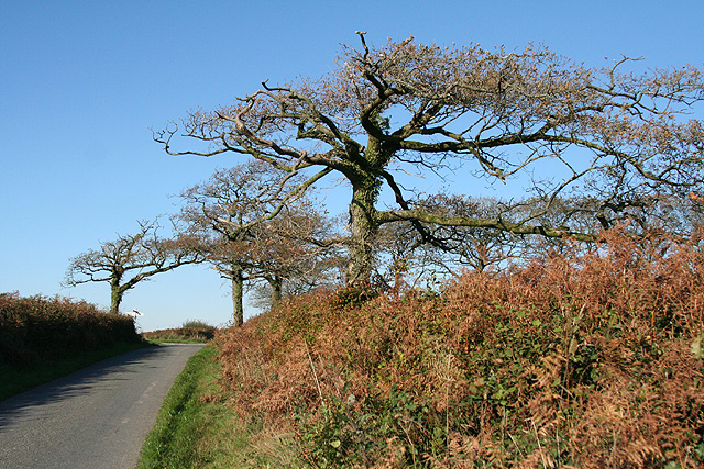
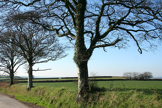
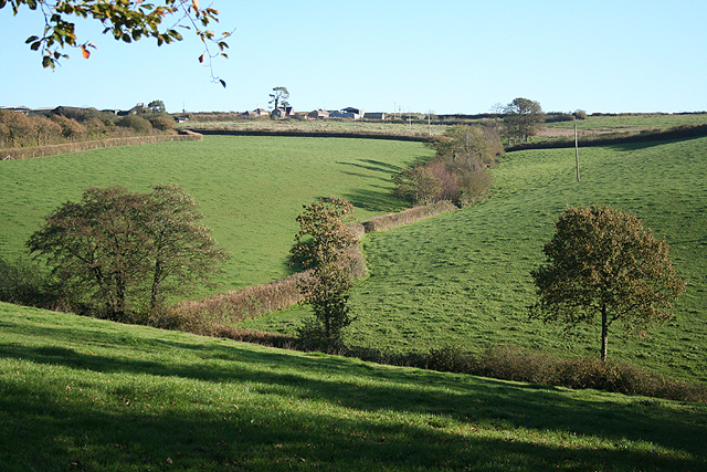
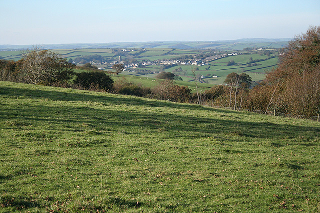
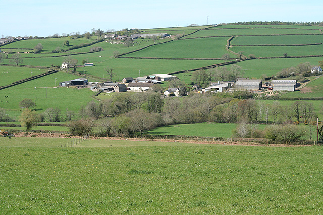
The downs of Crooked Moor boast rolling hills covered in lush grasslands, dotted with vibrant wildflowers during the summer months. These downs provide a haven for a variety of bird species, including skylarks and kestrels, making it a popular spot for birdwatchers. The open, expansive landscape also offers breathtaking views of the surrounding countryside.

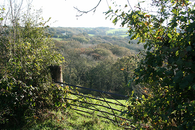
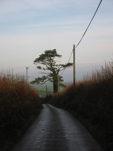
In contrast, the moorland section of Crooked Moor showcases a different type of beauty. Here, visitors can explore vast stretches of heather-covered moors, interspersed with rocky outcrops and glistening streams. This rugged terrain is home to a myriad of wildlife, such as deer, foxes, and even the elusive Dartmoor ponies, which roam freely in the area.

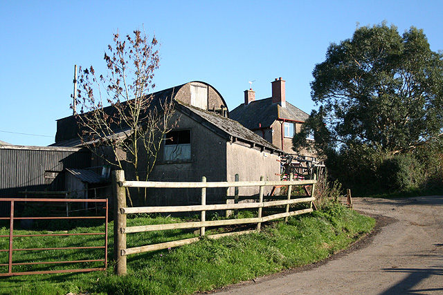
Crooked Moor is also renowned for its network of walking and hiking trails, making it an ideal destination for outdoor enthusiasts. Whether it's a leisurely stroll or a challenging hike, visitors can immerse themselves in the tranquility of the countryside while enjoying the breathtaking scenery.

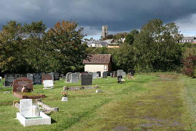
Additionally, the area surrounding Crooked Moor is steeped in history, with ancient archaeological sites and remnants of Bronze Age settlements scattered throughout the landscape. These historical landmarks provide a fascinating glimpse into the region's past and offer an enriching experience for history enthusiasts.

Overall, Crooked Moor in Devon is a captivating destination that showcases the diverse natural beauty and rich history of the region.

If you have any feedback on the listing, please let us know in the comments section below.
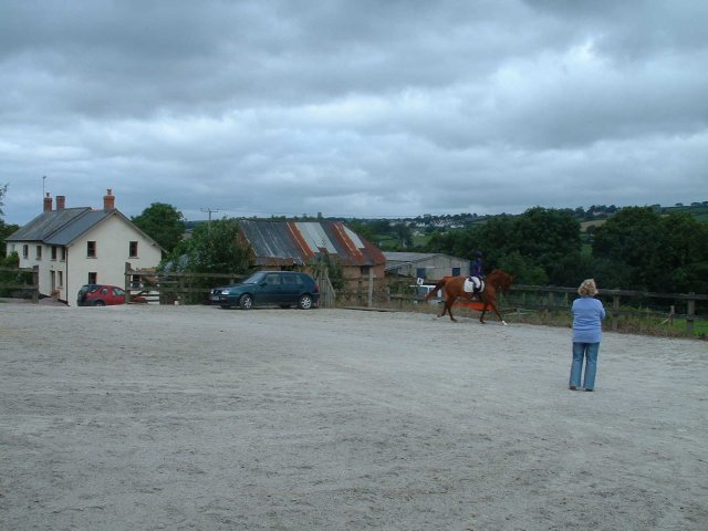
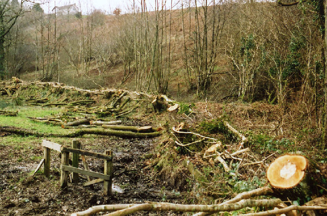
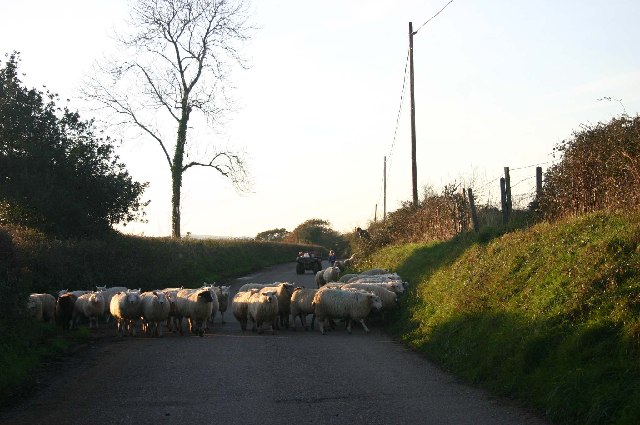
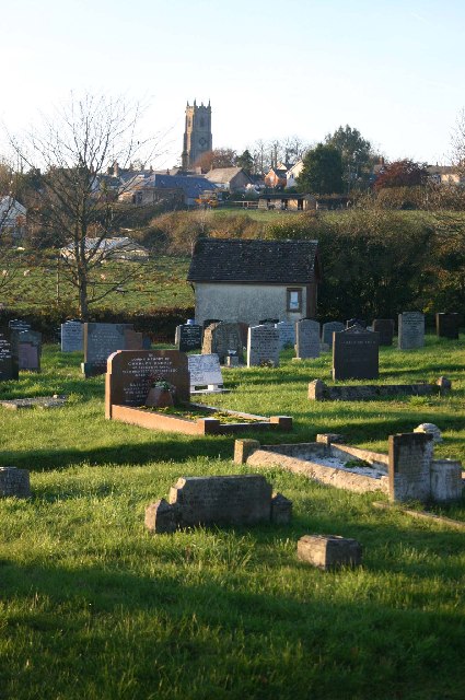
Crooked Moor Images

Images are sourced within 2km of 50.983233/-3.7580741 or Grid Reference SS7621. Thanks to Geograph Open Source API. All images are credited.

East Quince Farm Near South Molton
East Quince Farm
Near South Molton
Meshaw: hedge laying On the back lane between Meshaw church and the site of Meshaw Mill
Meshaw: hedge laying
On the back lane between Meshaw church and the site of Meshaw Mill
Sheep on the road to Avercombe
Cemetery on outskirts of Bishops Nympton
Bishop’s Nympton: footpath to Avercombe Mill Looking south. Here the path adjoins the village’s cemetery
Bishop’s Nympton: footpath to Avercombe Mill
Looking south. Here the path adjoins the village’s cemetery
Bishop’s Nympton: cemetery Looking north west towards the village on the hill, dominated by the tower of St Mary’s Church
Bishop’s Nympton: cemetery
Looking north west towards the village on the hill, dominated by the tower of St Mary’s Church
Rose Ash: approaching Bigbrook Looking south towards Bigbrook farm barns by a bend in the lane: this leads to Venhay Cross
Rose Ash: approaching Bigbrook
Looking south towards Bigbrook farm barns by a bend in the lane: this leads to Venhay Cross
Rose Ash: near Whippenscott Looking south-south-east towards Wester Moor. The Little Silver runs in the wooded valley and in the past turned two or three watermills before joining the river Mole at Alswear
Rose Ash: near Whippenscott
Looking south-south-east towards Wester Moor. The Little Silver runs in the wooded valley and in the past turned two or three watermills before joining the river Mole at Alswear
Rose Ash: above the Little Silver valley On the lane to Bigbrook, looking east-south-east
Rose Ash: above the Little Silver valley
On the lane to Bigbrook, looking east-south-east
Rose Ash: Quince Cross Approaching the crossroads from the south: looking roughly north
Rose Ash: Quince Cross
Approaching the crossroads from the south: looking roughly north
Rose Ash: West Centry Looking north-north-east on the lane to Quince Cross
Rose Ash: West Centry
Looking north-north-east on the lane to Quince Cross
Rose Ash: near Munson Farm Looking west by the farm entrance, out of shot to the left
Rose Ash: near Munson Farm
Looking west by the farm entrance, out of shot to the left
Mariansleigh: approaching Hilltown The right turn heads for Bishop’s Nympton; the next junction, on the left, is for Upcott. Ahead is Hilltown farm and the road to Mariansleigh village
Mariansleigh: approaching Hilltown
The right turn heads for Bishop’s Nympton; the next junction, on the left, is for Upcott. Ahead is Hilltown farm and the road to Mariansleigh village
Mariansleigh: towards Upcott Looking south east across a valley south of Mariansleigh village. Upcott is on the skyline
Mariansleigh: towards Upcott
Looking south east across a valley south of Mariansleigh village. Upcott is on the skyline
Mariansleigh: Lower Upcott Looking east-south-east
Mariansleigh: Lower Upcott
Looking east-south-east
Rose Ash: above Swincombe Looking north west towards Bishop’s Nympton, two squares away, in mid distance
Rose Ash: above Swincombe
Looking north west towards Bishop’s Nympton, two squares away, in mid distance
Scots Pine mark tree at Uppacott This tree is a landmark visible from miles around. Scots Pine trees were planted to mark farmsteads and drovers routes in the past.
Scots Pine mark tree at Uppacott
This tree is a landmark visible from miles around. Scots Pine trees were planted to mark farmsteads and drovers routes in the past.
Rose Ash: towards Great Avercombe With East Avercombe to the right. Looking north-north-west
Rose Ash: towards Great Avercombe
With East Avercombe to the right. Looking north-north-west
Show me another place!

Crooked Moor is located at Grid Ref: SS7621 (Lat: 50.983233, Lng: -3.7580741)

Administrative County: Devon

District: North Devon

Police Authority: Devon and Cornwall

What 3 Words

///trickster.complains.torso. Near South Molton, Devon

Related Wikis

Mariansleigh

Mariansleigh is a village and civil parish in Devon, England. In 2021 the parish had a population of 170. == External links == GENUKI Mariansleigh Page

Ash Mill

Ash Mill is a village in Devon, England.Ashmill was the site of Ashwater station on the former L.S.W.R. North Cornwall line which closed in the 1960s....

Rose Ash

Rose Ash, formerly Ralph-Esse, is a village and civil parish in North Devon district, Devon, England. In the 2011 census it was recorded as having a population...

Bishop's Nympton

Bishop's Nympton is a village and civil parish in the North Devon district of Devon, England, about three miles east of South Molton. According to the...

Have you been to Crooked Moor?

Leave your review of Crooked Moor below (or comments, questions and feedback).