Moor Park

Downs, Moorland in Perthshire

Scotland

Moor Park

Old fingerpost Near Doune on the south side of the River Teith is this pre Worboys fingerpost still standing by the wall opposite the B826.   It is sadly lacking its 3 fingers.   The lane leads down to the river.
Old fingerpost Credit: John Riddell

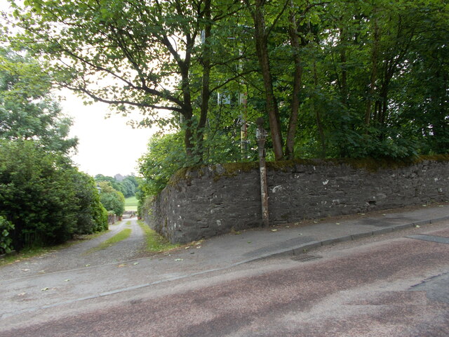
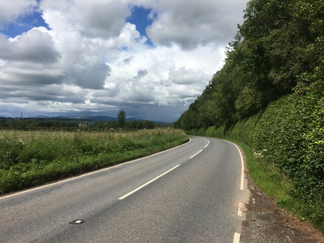
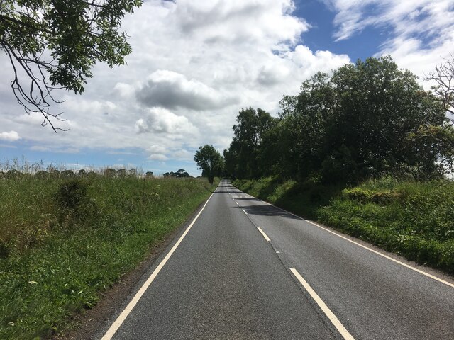
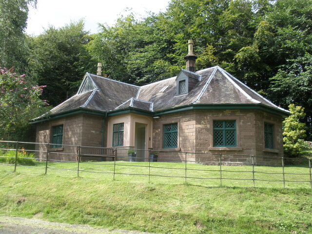
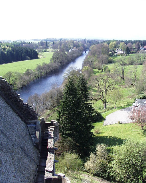
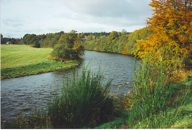
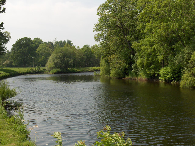
Moor Park, located in Perthshire, Scotland, is a vast expanse of picturesque moorland that stretches across an area of approximately 10 square kilometers. The park is renowned for its stunning natural beauty, characterized by rolling hills, heather-covered landscapes, and breathtaking views of the surrounding countryside.

The moorland at Moor Park is home to a diverse range of flora and fauna, with various species of plants, birds, and animals thriving in this unique ecosystem. Visitors to the park can expect to spot rare birds such as curlews, lapwings, and red grouse, as well as numerous small mammals like hares and voles. The moorland is also adorned with vibrant wildflowers, including purple heather, yellow gorse, and delicate orchids, creating a colorful tapestry across the landscape.

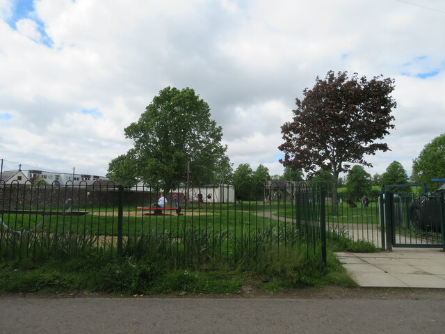
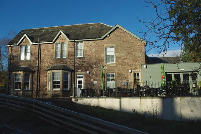
Aside from its natural beauty, Moor Park offers visitors a range of recreational activities. Walking and hiking enthusiasts can explore the numerous trails that crisscross the moorland, offering stunning panoramic views at every turn. The park also provides opportunities for picnicking, wildlife observation, and nature photography.

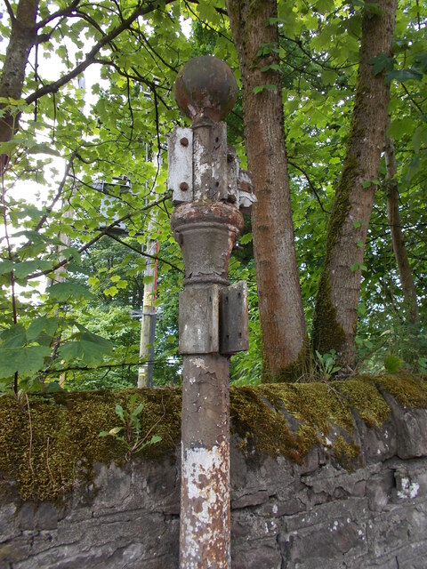
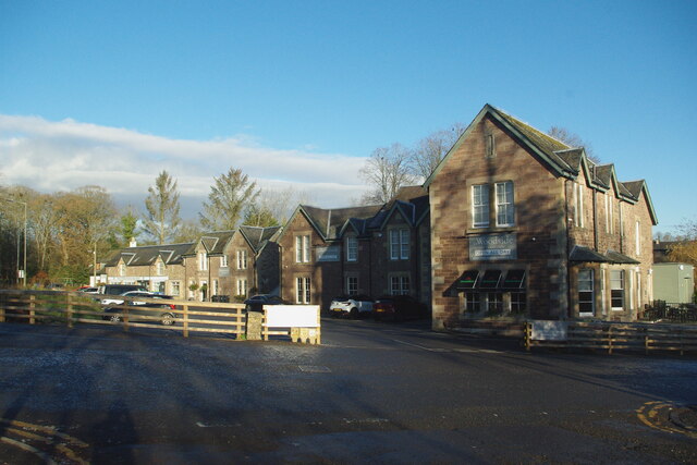
Moor Park is easily accessible, with well-maintained roads leading to convenient parking areas. The park management ensures that the area remains pristine and undisturbed, with designated paths and signage to guide visitors and protect the delicate ecosystem.

In summary, Moor Park in Perthshire is a captivating destination for nature lovers and outdoor enthusiasts alike. Its charming moorland, rich biodiversity, and recreational activities make it an ideal spot to immerse oneself in the serene beauty of Scotland's countryside.

If you have any feedback on the listing, please let us know in the comments section below.

Moor Park Images

Images are sourced within 2km of 56.17209/-4.0481599 or Grid Reference NS7299. Thanks to Geograph Open Source API. All images are credited.

Old fingerpost Near Doune on the south side of the River Teith is this pre Worboys fingerpost still standing by the wall opposite the B826.   It is sadly lacking its 3 fingers.   The lane leads down to the river.
Old fingerpost
Near Doune on the south side of the River Teith is this pre Worboys fingerpost still standing by the wall opposite the B826. It is sadly lacking its 3 fingers. The lane leads down to the river.
Old fingerpost This is a close up of the top of the old signpost on the A84 just south of the River Teith at Doune.  The shape of the post top, the size of the ball finial and the way the fingers were attached shows this post was made at the Grangemouth Iron Works.  At a later date another finger, also now lost, had been added lower down the post.

Milestone Society National ID: STL_NN7201
Old fingerpost
This is a close up of the top of the old signpost on the A84 just south of the River Teith at Doune. The shape of the post top, the size of the ball finial and the way the fingers were attached shows this post was made at the Grangemouth Iron Works. At a later date another finger, also now lost, had been added lower down the post. Milestone Society National ID: STL_NN7201
Former tollhouse On the A84 south of Doune at the B826 junction is this former tollhouse known as Loch-Hills Wood which may date from about 1825.  On the OS 1st Edition it is noted that there is a 'weighing machine'.  In 2009 it was lived in and well-cared for.   By 2021 it was empty and deteriorating.   However it is to be renovated, hopefully, in 2022.   It is B Listed LB8412 and its Canmore reference is 363352.
Former tollhouse
On the A84 south of Doune at the B826 junction is this former tollhouse known as Loch-Hills Wood which may date from about 1825. On the OS 1st Edition it is noted that there is a 'weighing machine'. In 2009 it was lived in and well-cared for. By 2021 it was empty and deteriorating. However it is to be renovated, hopefully, in 2022. It is B Listed LB8412 and its Canmore reference is 363352.
Play area at Doune A small park, with public conveniences, off King Street.
Play area at Doune
A small park, with public conveniences, off King Street.
B824 towards Doune
B824 towards Doune
B824 towards Bridge of Allan
Doune Castle The Royal Hunting Lodge, Doune Castle.
Doune Castle
The Royal Hunting Lodge, Doune Castle.
Main Street, Doune Home of Harvey Maps
Main Street, Doune
Home of Harvey Maps
The Highland Hotel, Doune
A84 towards Doune
A84 towards Doune
Road junction on the A84 in Doune
A820 towards Dunblane
St Modoc's (or Madoc's) Church This Episcopal church was built in 1877 by the London architect James Brooks and designed in the so-called Early English or First Pointed style of the early 13th century. It is aisleless with a vaulted chancel.

The church notice board and the Ordnance Survey ascribe the dedication to St Modoc, but both the Category B listing citation and Canmore use the spelling Madoc. No doubt he is also the Madock who is the patron of the Church of Scotland's <a href="https://www.geograph.org.uk/photo/5787968">NN7201 : Kilmadock Parish Church, Doune</a> nearby.
St Modoc's (or Madoc's) Church
This Episcopal church was built in 1877 by the London architect James Brooks and designed in the so-called Early English or First Pointed style of the early 13th century. It is aisleless with a vaulted chancel. The church notice board and the Ordnance Survey ascribe the dedication to St Modoc, but both the Category B listing citation and Canmore use the spelling Madoc. No doubt he is also the Madock who is the patron of the Church of Scotland's NN7201 : Kilmadock Parish Church, Doune nearby.
The Woodside This much-loved family hotel beside the A84 reopened in 2022 after a year-long closure for modernisation. A number of original features of the building were revealed in the course of the work.

See also <a href="https://www.geograph.org.uk/photo/7674228">NN7201 : New terrace at the Woodside</a>, and for a comparative view from 2011 see <a href="https://www.geograph.org.uk/photo/2669027">NN7201 : The Woodside Hotel, Doune</a>.
The Woodside
This much-loved family hotel beside the A84 reopened in 2022 after a year-long closure for modernisation. A number of original features of the building were revealed in the course of the work. See also NN7201 : New terrace at the Woodside, and for a comparative view from 2011 see NN7201 : The Woodside Hotel, Doune.
New terrace at the Woodside The reopened and modernised Woodside Hotel now incorporates an open-air terrace overlooking George Street and the Draigen Burn which flows into the River Teith.
New terrace at the Woodside
The reopened and modernised Woodside Hotel now incorporates an open-air terrace overlooking George Street and the Draigen Burn which flows into the River Teith.
Doune Castle looking NW along the River Teith This photo was taken from the roof of Doune Castle looking NW towards the Deanston bridge. Many of the scenes of Monty Pythons film "The Holy Grail" was filmed at Doune castle. The castle nestles on a river promontory in a very good defensive position and is cared for by Historic Scotland.
Doune Castle looking NW along the River Teith
This photo was taken from the roof of Doune Castle looking NW towards the Deanston bridge. Many of the scenes of Monty Pythons film "The Holy Grail" was filmed at Doune castle. The castle nestles on a river promontory in a very good defensive position and is cared for by Historic Scotland.
Doune Castle Ruined tower house above the River Teith.
Doune Castle
Ruined tower house above the River Teith.
River Teith Autumn on the River Teith by Doune Castle.
River Teith
Autumn on the River Teith by Doune Castle.
Show me another place!

Moor Park is located at Grid Ref: NS7299 (Lat: 56.17209, Lng: -4.0481599)

Unitary Authority: Stirling

Police Authority: Forth Valley

What 3 Words

///neon.quoted.dries. Near Doune, Stirling

Related Wikis

Stirling torcs

The Stirling torcs make up a hoard of four gold Iron Age torcs, a type of necklace, all of which date to between 300 and 100 BC and which were buried deliberately...

Kincardine-in-Menteith

Kincardine is a civil parish in the Scottish council area of Stirling and the former county of Perthshire in the historic district of Menteith. It lies...

Blair Drummond

Blair Drummond is a small rural community 5 miles (8 kilometres) northwest of Stirling in the Stirling district of Scotland, predominantly located along...

Menteith

Menteith or Monteith (Scottish Gaelic: Mòine Tèadhaich), a district of south Perthshire, Scotland, roughly comprises the territory between the Teith and...

Nearby Amenities

Located within 500m of 56.17209,-4.0481599
Place: farm
Lat/Long: 56.1681932/-4.0441792
Power: pole
Lat/Long: 56.1747271/-4.0424958
Power: pole
Lat/Long: 56.17416/-4.0436149
Power: pole
Lat/Long: 56.1735336/-4.0448469
Power: pole
Lat/Long: 56.1729543/-4.045145
Power: pole
Lat/Long: 56.1721694/-4.0455215
Power: pole
Lat/Long: 56.1714067/-4.0458876
Power: pole
Lat/Long: 56.1707161/-4.046216
Power: pole
Lat/Long: 56.1708454/-4.0477283
Power: pole
Lat/Long: 56.1709781/-4.0492322
Power: pole
Lat/Long: 56.1711132/-4.0508094
Power: pole
Lat/Long: 56.1712378/-4.0522987
Power: pole
Lat/Long: 56.1714614/-4.0536228
Power: pole
Lat/Long: 56.1716699/-4.054905
Power: pole
Lat/Long: 56.1733001/-4.0465736
Power: pole
Lat/Long: 56.1733991/-4.0478538
Power: pole
Lat/Long: 56.1735074/-4.049226
Power: pole
Lat/Long: 56.1736157/-4.0506881
Power: pole
Lat/Long: 56.1737181/-4.0520645
Power: pole
Lat/Long: 56.1736529/-4.0529451
Power: pole
Lat/Long: 56.1735551/-4.0545808
Power: pole
Lat/Long: 56.1678245/-4.0465611
Power: pole
Lat/Long: 56.1684173/-4.0476049
Power: pole
Lat/Long: 56.1689903/-4.0486256
Power: pole
Lat/Long: 56.1696145/-4.0497217
Power: pole
Lat/Long: 56.1701735/-4.0507048
Power: pole
Lat/Long: 56.1708535/-4.0516712
Power: pole
Lat/Long: 56.1716198/-4.0523301
Power: pole
Lat/Long: 56.172287/-4.0528991
Power: pole
Lat/Long: 56.1729147/-4.0537253
Power: pole
Lat/Long: 56.1694864/-4.0533791
Power: pole
Lat/Long: 56.1701723/-4.0532975
Power: pole
Lat/Long: 56.1709805/-4.0531867
Power: pole
Lat/Long: 56.1713543/-4.05267
Post Box
Collection Plate: CP5D
Collection Plate Date: 2023-01-05
Collection Times: Mo-Fr 09:00; Sa 07:00
Manufacturer: W.T.Allen & Co. London
Operator: Royal Mail
Post Box Mounting: brick_pillar
Post Box Type: wall
Ref: FK9 52D
Royal Cypher: EVIIR
Source: survey
Lat/Long: 56.1685461/-4.0521772
The data included in this document is from www.openstreetmap.org. The data is made available under ODbL.

Have you been to Moor Park?

Leave your review of Moor Park below (or comments, questions and feedback).