Western Common
Downs, Moorland in Devon North Devon
England
Western Common

The requested URL returned error: 429 Too Many Requests
If you have any feedback on the listing, please let us know in the comments section below.
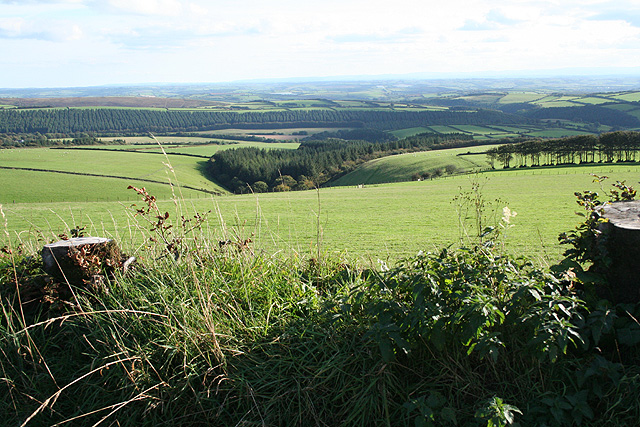
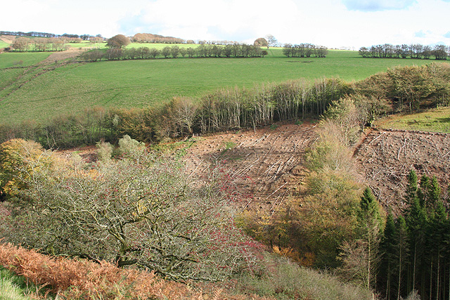
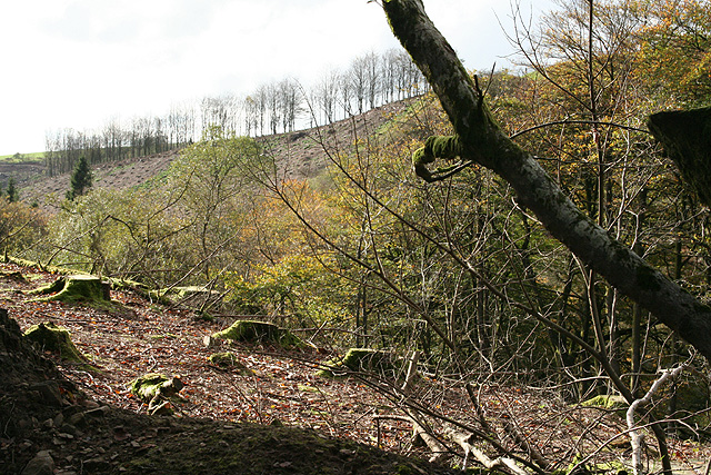
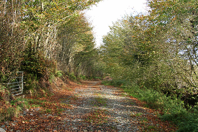
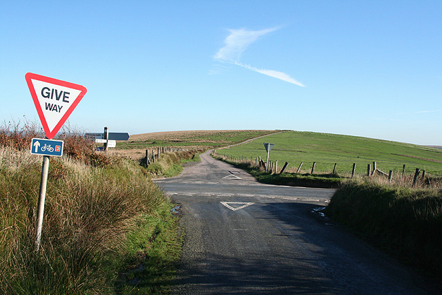
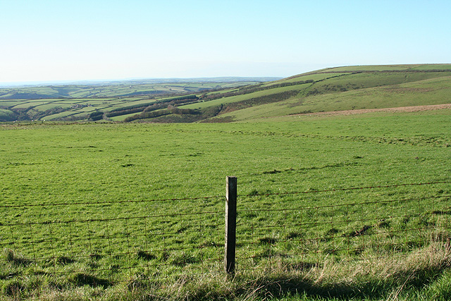
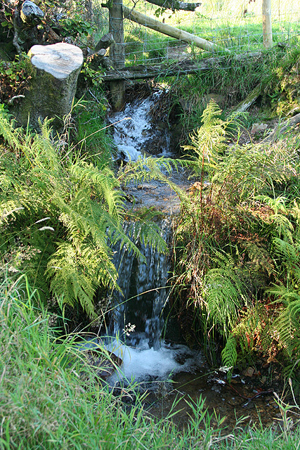
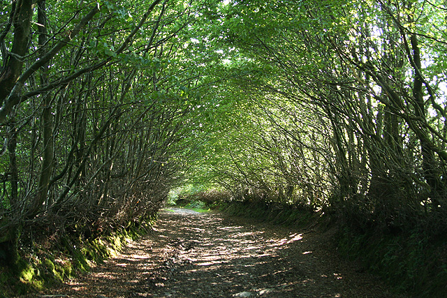
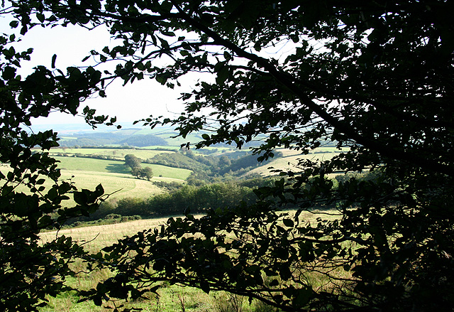
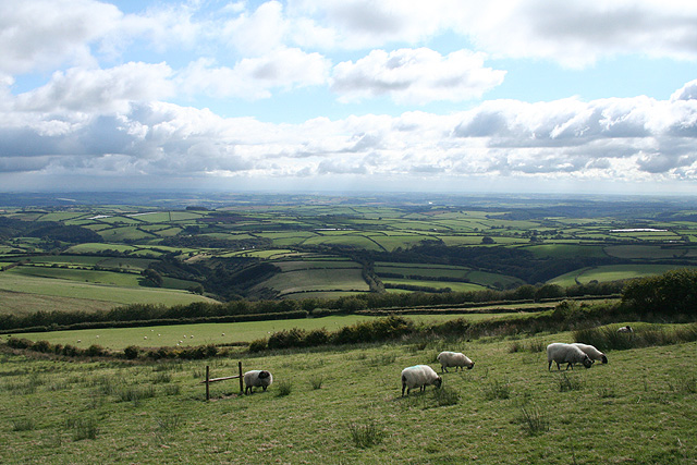
Western Common Images
Images are sourced within 2km of 51.114225/-3.8169628 or Grid Reference SS7236. Thanks to Geograph Open Source API. All images are credited.
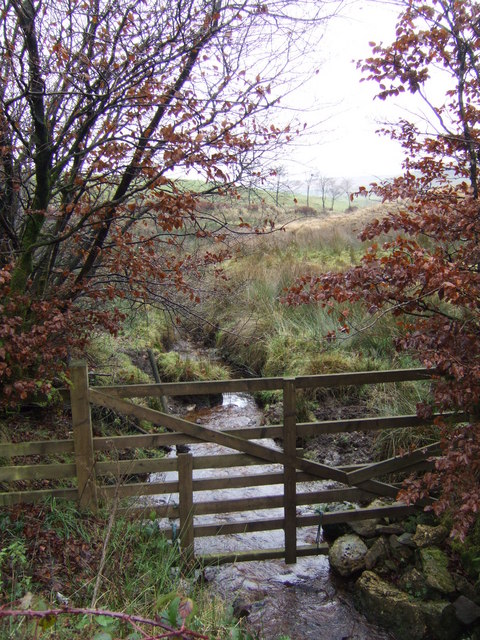
![High Bray: above Sherracombe Ford Looking east-north-east. Sherracombe Ford is Exmoor’s earliest known iron ore smelting site. Mounds of slag remain and radiocarbon dating here suggests Roman activity. [Source: Hazel Riley and Robert Wilson-North. The Field Archaeology of Exmoor. English Heritage, 2001]](https://s1.geograph.org.uk/photos/26/64/266449_231c78b3.jpg)
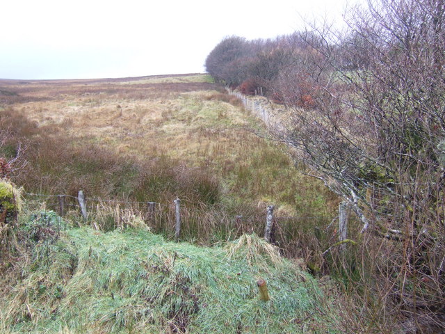
![High Bray: towards Sherracombe Ford Beyond the second gate, on the roughly level area of grass and bracken by the side of the wooded stream is an ironworking site. Smelting was carried out on three identifiable working platforms. Mounds of slag remain and radiocarbon dating here suggests Roman activity. An archaeological investigation was carried out at the beginning of this century. [Part source: Hazel Riley and Robert Wilson-North. The Field Archaeology of Exmoor. English Heritage, 2001]. Looking east](https://s2.geograph.org.uk/photos/26/64/266450_ba213c09.jpg)


Western Common is located at Grid Ref: SS7236 (Lat: 51.114225, Lng: -3.8169628)
Administrative County: Devon
District: North Devon
Police Authority: Devon and Cornwall
What 3 Words
///edgy.honest.hologram. Near South Molton, Devon
Nearby Locations
Related Wikis

Bentwitchen
Bentwitchen is a hamlet in Devon, England. == References ==
North Radworthy
North Radworthy is a hamlet and historic estate in the civil parish and former manor of North Molton, in the North Devon district of the county of Devon...

Shoulsbury castle
Shoulsbury Castle is an Iron Age hill fort close to Challacombe in Devon, England. It takes the form of a multi-ditch and rampart enclosure close to the...
South Radworthy
South Radworthy is a hamlet in the civil parish of North Molton, in the North Devon District of the county of Devon, England. It is about three miles to...
Nearby Amenities
Located within 500m of 51.114225,-3.8169628Have you been to Western Common?
Leave your review of Western Common below (or comments, questions and feedback).