Rabbit Warren
Downs, Moorland in Merionethshire
Wales
Rabbit Warren
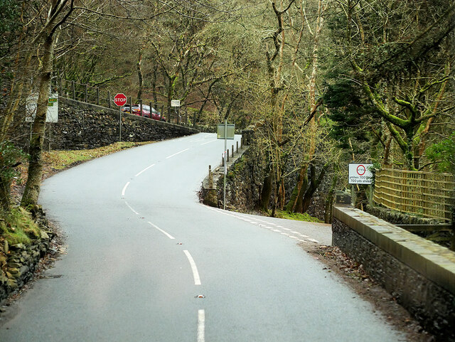
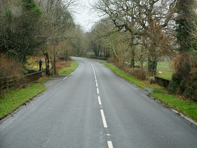
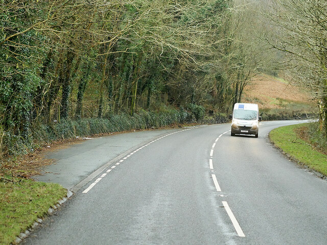
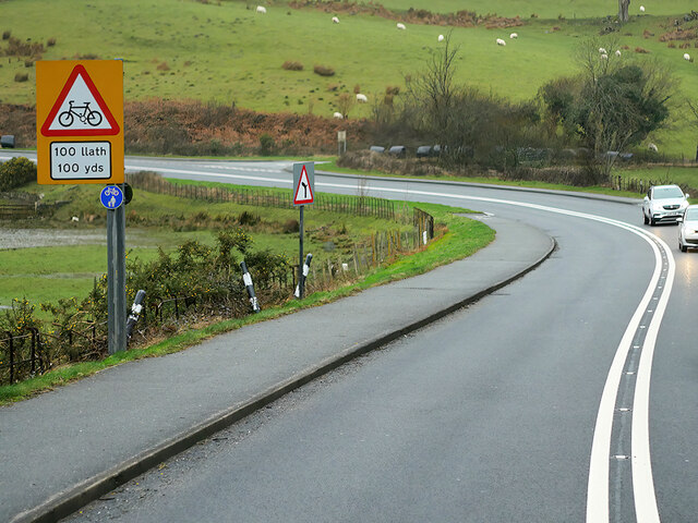
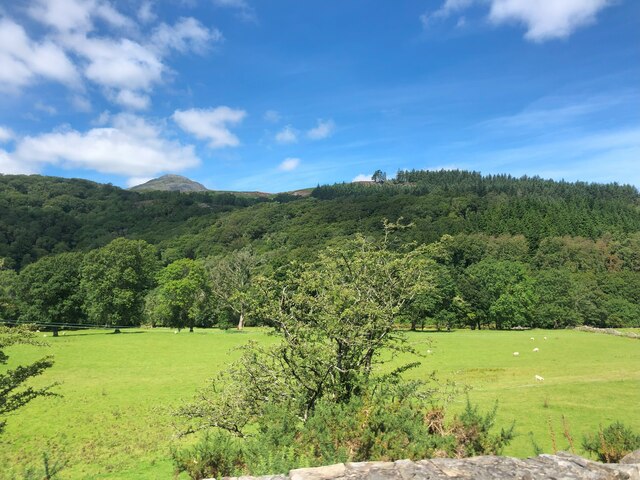
Rabbit Warren, located in the county of Merionethshire, is a picturesque area known for its sprawling downs and moorland. This region is characterized by its rolling hills, lush greenery, and abundance of wildlife, making it a popular destination for nature enthusiasts.
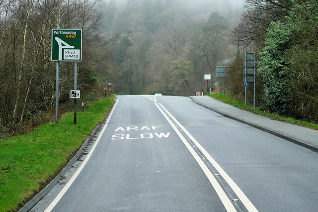
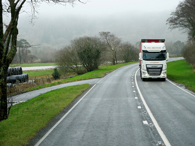
The downs in Rabbit Warren offer stunning panoramic views of the surrounding countryside, with its gentle slopes covered in vibrant heather and grasses. These open grasslands are ideal for grazing animals, and it is not uncommon to spot sheep and cattle roaming freely. Additionally, the downs provide a serene setting for leisurely walks and picnics, allowing visitors to immerse themselves in the tranquility of the countryside.
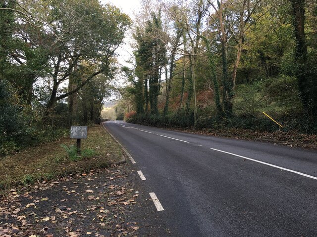
The moorland in Rabbit Warren is a diverse ecosystem, home to a variety of plant and animal species. This rugged terrain is characterized by its vast expanses of heath and bog, interspersed with rocky outcrops. Moorland birds such as curlews, lapwings, and red grouse can be spotted here, along with other wildlife including hares, foxes, and even the occasional wild rabbit.
Rabbit Warren offers a range of outdoor activities for visitors to enjoy. Walking and hiking trails crisscross the downs and moorland, providing opportunities to explore the natural beauty of the area. Birdwatching and photography are also popular pastimes, allowing visitors to capture the unique flora and fauna that call this region home.
With its stunning landscapes and abundant wildlife, Rabbit Warren, Merionethshire (Downs, Moorland) is an idyllic destination for those seeking a peaceful retreat amidst the beauty of nature.
If you have any feedback on the listing, please let us know in the comments section below.
Rabbit Warren Images
Images are sourced within 2km of 52.946625/-3.97582 or Grid Reference SH6740. Thanks to Geograph Open Source API. All images are credited.
Rabbit Warren is located at Grid Ref: SH6740 (Lat: 52.946625, Lng: -3.97582)
Unitary Authority: Gwynedd
Police Authority: North Wales
What 3 Words
///guesswork.irony.unwell. Near Maentwrog, Gwynedd
Nearby Locations
Related Wikis

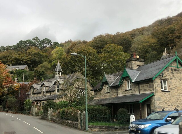
Maentwrog
Maentwrog () is a village and community in the Welsh county of Merionethshire (now part of Gwynedd), lying in the Vale of Ffestiniog just below Blaenau...

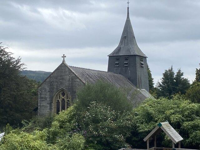
St Twrog's Church, Maentwrog
Saint Twrog's Church is in the village of Maentwrog in the Welsh county of Gwynedd, lying in the Vale of Ffestiniog, within the Snowdonia National Park...
Ceunant Llennyrch National Nature Reserve
Ceunant Llennyrch National Nature Reserve is one of several woodland reserves in the Vale of Ffestiniog in Gwynedd, Wales and runs from Llyn Trawsfynydd...

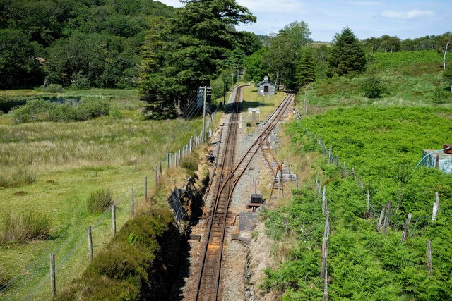
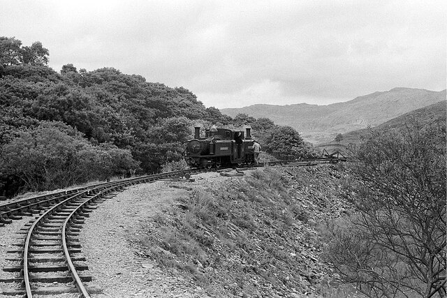
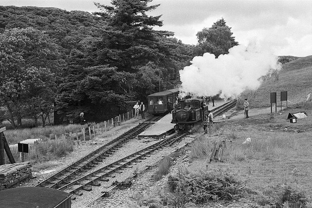
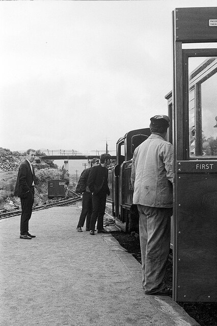
Campbell's Platform railway station
Campbell's Platform (grid reference SH673418) is a private, unstaffed halt on the Welsh narrow gauge Ffestiniog Railway, which was built in 1836 to carry...
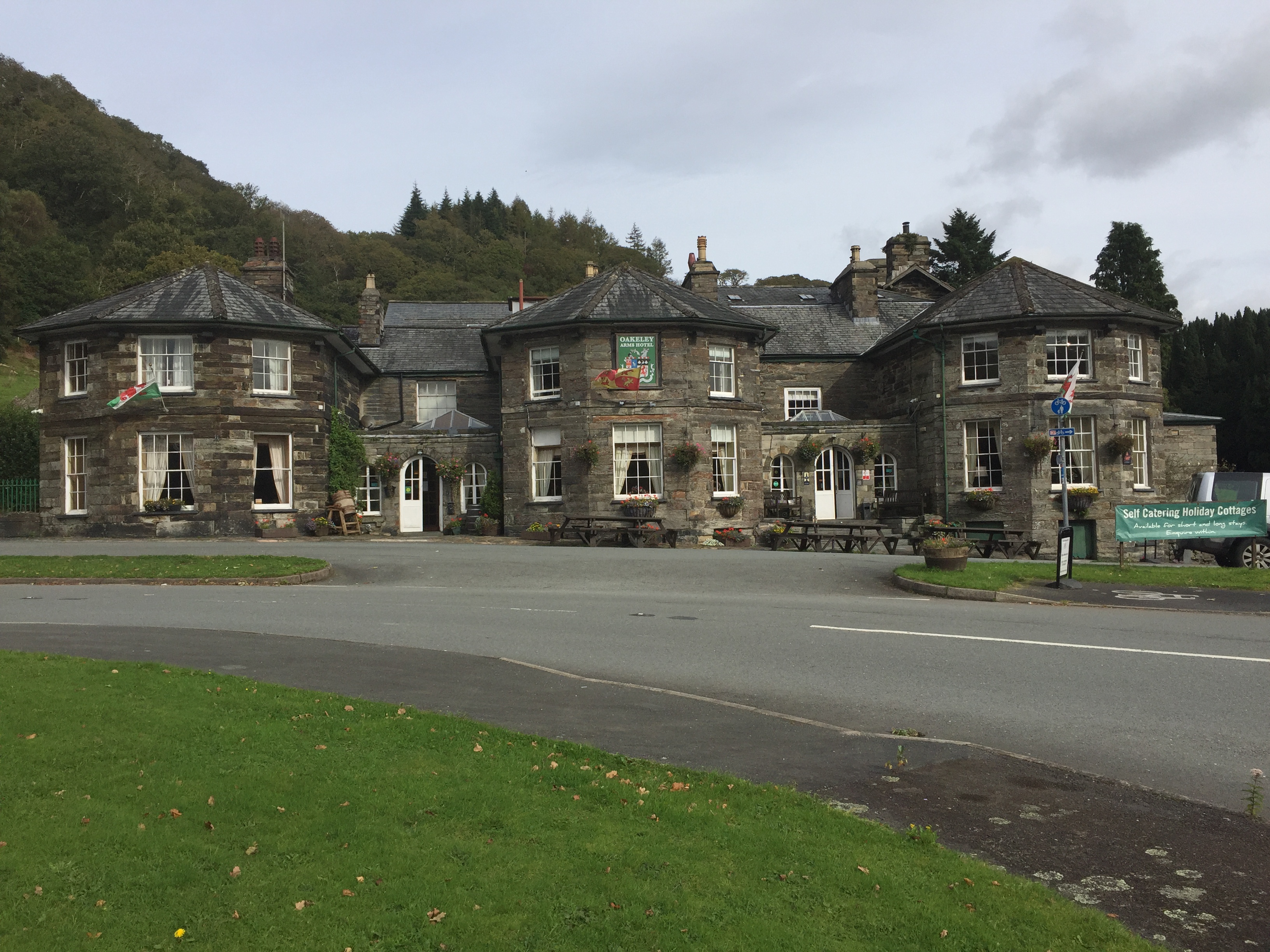
Oakeley Arms Hotel
The Oakeley Arms Hotel is a Grade II listed hotel near Maentwrog in North Wales. The original building dates back to the 17th century, and was once part...

Gellilydan
Gellilydan () is a village in the Welsh county of Gwynedd, in Maentwrog community. It lies 4 miles (6.4 km) south-south-east of Blaenau Ffestiniog. The...

Tan-y-Bwlch, Maentwrog
Tan-y-Bwlch (Welsh for Under the pass/gap) lies in the Snowdonia National Park in North Wales and is primarily known as the location of Tan-y-Bwlch railway...
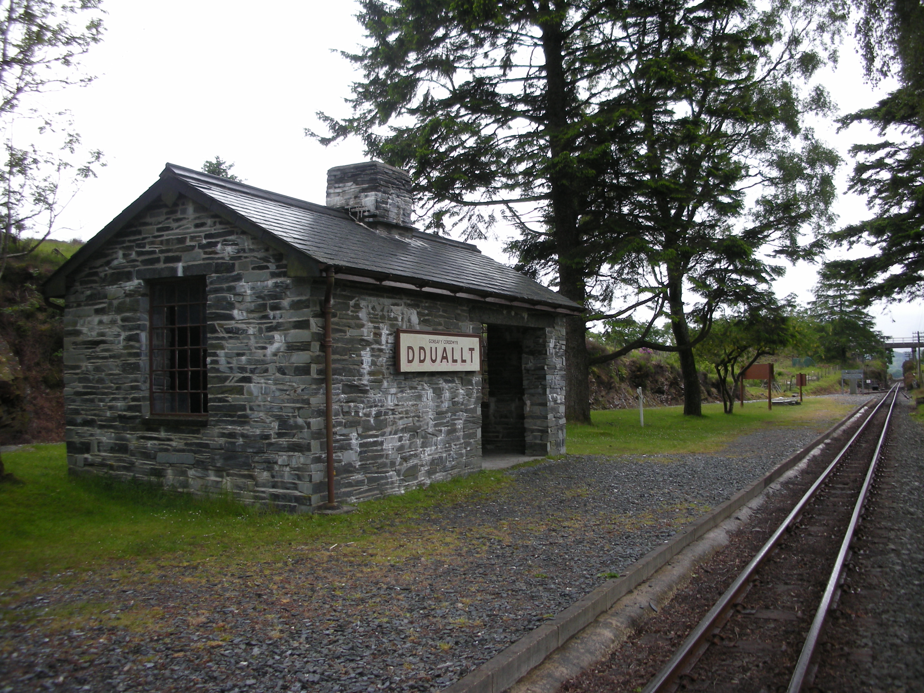
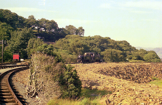
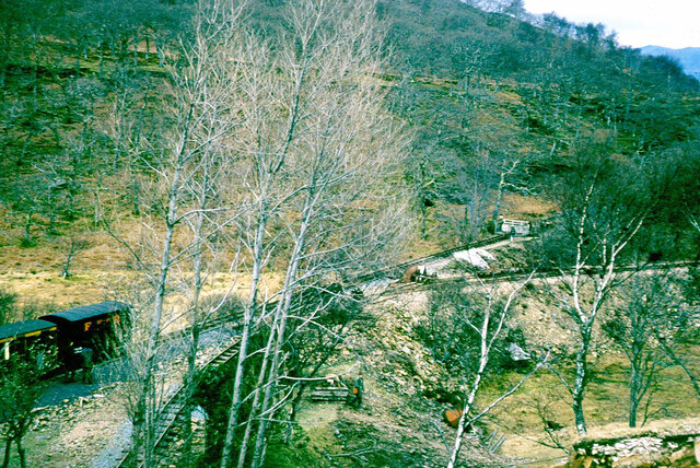
Dduallt railway station
Dduallt railway station (English: Black hill) (pronounced [ˈðɨ.aɬt]) is a passenger station on the narrow gauge Ffestiniog Railway in northwest Wales,...
Nearby Amenities
Located within 500m of 52.946625,-3.97582Have you been to Rabbit Warren?
Leave your review of Rabbit Warren below (or comments, questions and feedback).