Cator Common

Downs, Moorland in Devon Teignbridge

England

Cator Common

Old Boundary Marker on the edge of Soussons Plantation, Manaton parish Parish Boundary Marker on the north side of the road 30 metres west of the entrance to Soussons Plantation. Manaton parish. Inscribed CB for Cator Bounds. See also <a title="https://www.geograph.org.uk/photo/5536888" href="https://www.geograph.org.uk/photo/5536888">Link</a>.

Milestone Society National ID: DV_CTWD01pb
Old Boundary Marker on the edge of Soussons Plantation, Manaton parish Credit: T Jenkinson

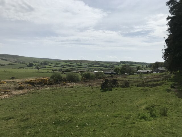
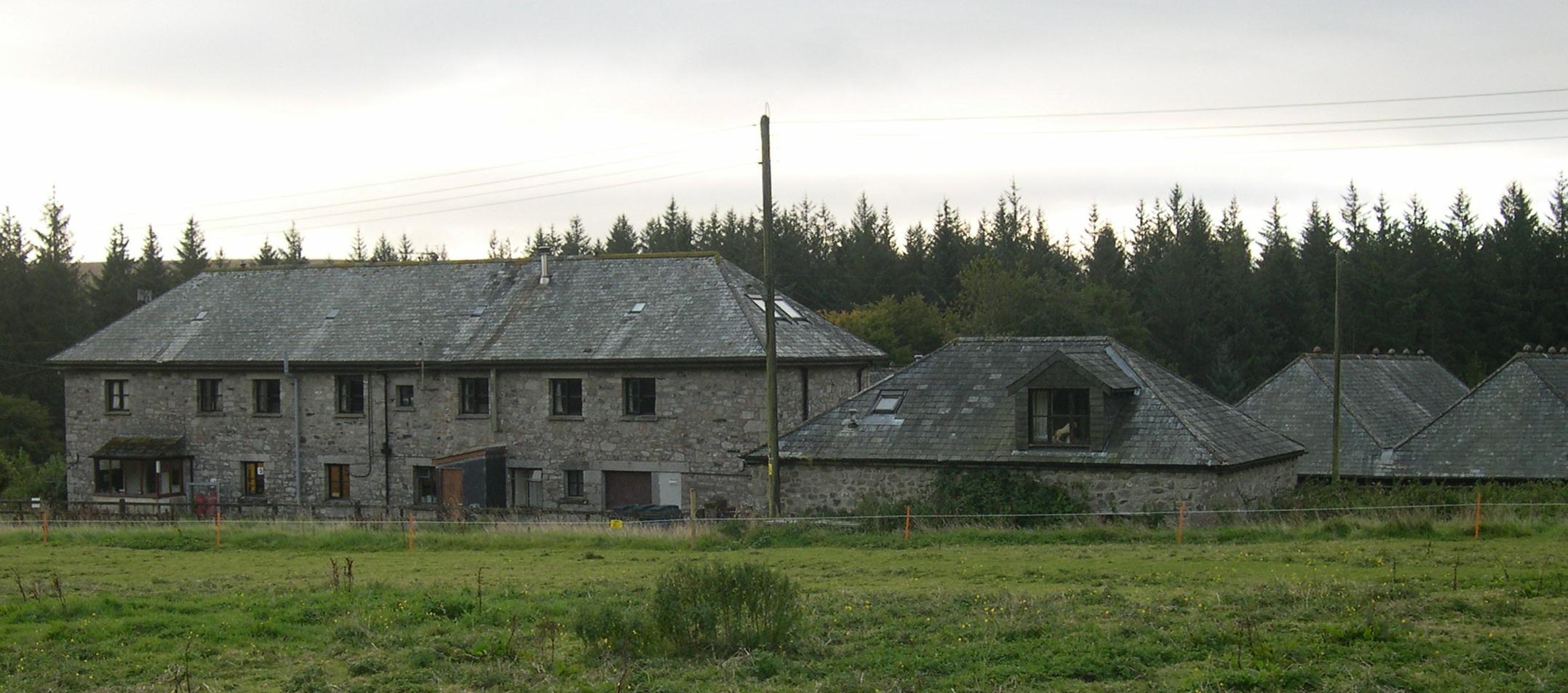
Cator Common is a picturesque and expansive area located in Devon, England. It is situated on the eastern edge of Dartmoor National Park, encompassing a vast expanse of downs and moorland. Covering an area of approximately 4,000 acres, Cator Common is known for its natural beauty and diverse ecosystems, making it a popular destination for nature enthusiasts and hikers.

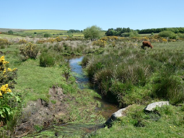
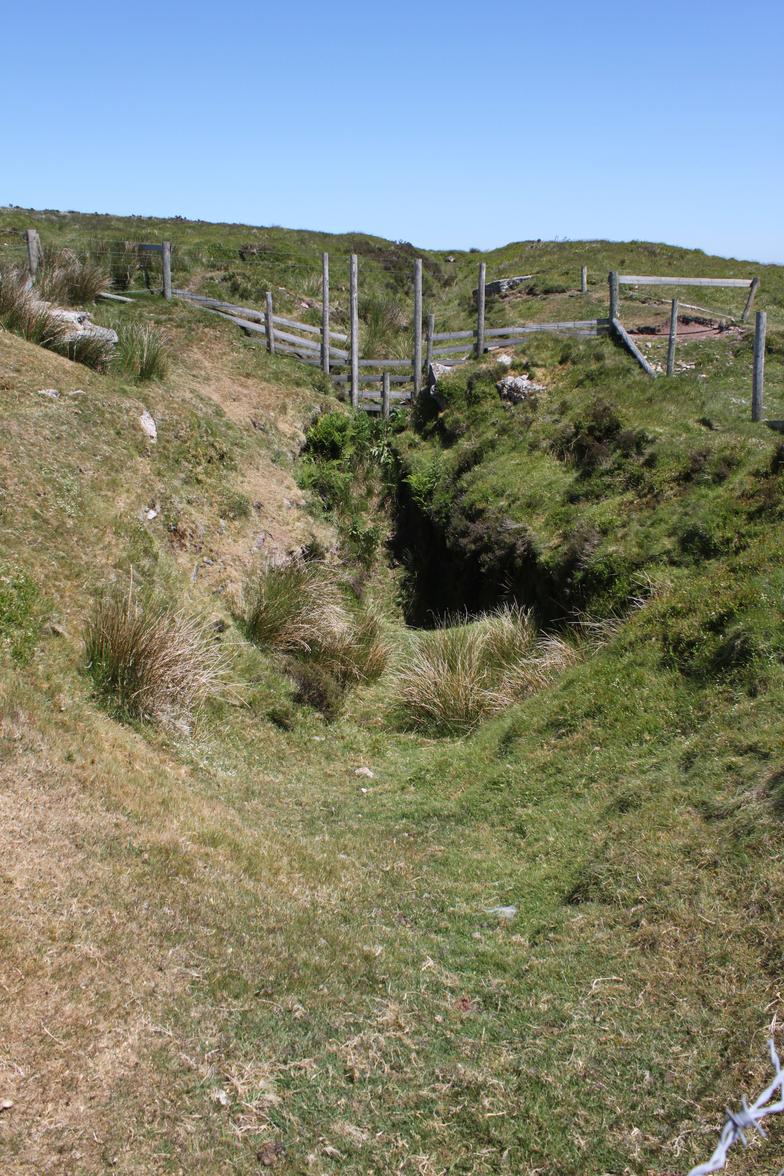
The common is characterized by rolling hills, heathland, and grassy meadows, offering stunning panoramic views of the surrounding countryside. It is home to a variety of wildlife, including ponies, sheep, and numerous bird species. Additionally, the area is dotted with ancient archaeological sites, such as stone circles and burial mounds, providing a glimpse into the region's rich history.

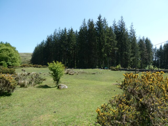
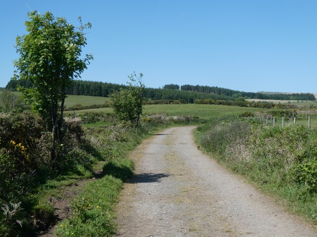
The common is crisscrossed by a network of walking trails, providing visitors with ample opportunities to explore and immerse themselves in the stunning surroundings. The paths meander through vibrant heathers, wooded areas, and open fields, offering a diverse range of landscapes to discover.

Cator Common is a tranquil and peaceful location, offering visitors a chance to escape the hustle and bustle of everyday life. Its remote location and unspoiled natural beauty make it an ideal spot for relaxation, meditation, and wildlife observation. Whether it's a leisurely stroll or a challenging hike, Cator Common provides a serene and awe-inspiring experience for all nature lovers.

If you have any feedback on the listing, please let us know in the comments section below.

Cator Common Images

Images are sourced within 2km of 50.585029/-3.8752523 or Grid Reference SX6777. Thanks to Geograph Open Source API. All images are credited.

Old Boundary Marker on the edge of Soussons Plantation, Manaton parish Parish Boundary Marker on the north side of the road 30 metres west of the entrance to Soussons Plantation. Manaton parish. Inscribed CB for Cator Bounds. See also <a title="https://www.geograph.org.uk/photo/5536888" href="https://www.geograph.org.uk/photo/5536888">Link</a>.

Milestone Society National ID: DV_CTWD01pb
Old Boundary Marker on the edge of Soussons Plantation, Manaton parish
Parish Boundary Marker on the north side of the road 30 metres west of the entrance to Soussons Plantation. Manaton parish. Inscribed CB for Cator Bounds. See also Link. Milestone Society National ID: DV_CTWD01pb
Soussons Down Kerbed Cairn (Scale 1m) <span class="nowrap"><a title="https://www.megalithic.co.uk/article.php?sid=1266" rel="nofollow ugc noopener" href="https://www.megalithic.co.uk/article.php?sid=1266">Link</a><img style="margin-left:2px;" alt="External link" title="External link - shift click to open in new window" src="https://s1.geograph.org.uk/img/external.png" width="10" height="10"/></span>
Soussons Down Kerbed Cairn
(Scale 1m) LinkExternal link
Soussons Farm
Soussons Farm
A plantation of Christmas trees, Cator
Footpath on Cator Common
Sunken path near Penlee Farm, Dartmoor
Bellever Forest
Bellever Forest
Bluebells and gorse near Lydgate House Hotel
Bluebells on slope of valley of East Dart River
Track from Pizwell to Postbridge
Stream west of Pizwell
Longhouse at Pizwell An old granite longhouse, for which there are plans to carry out restoration
Longhouse at Pizwell
An old granite longhouse, for which there are plans to carry out restoration
Pizwell Farm
Pizwell Farm
Ford at Pizwell Pizwell Farm in thebackground
Ford at Pizwell
Pizwell Farm in thebackground
Track to Soussons Down Soussons Down is planted with trees
Track to Soussons Down
Soussons Down is planted with trees
Footpath sign on Cator Common
Cattle grid on road across Cator Common
Cattle grid and gate for road across Cator Common
Show me another place!

Cator Common is located at Grid Ref: SX6777 (Lat: 50.585029, Lng: -3.8752523)

Administrative County: Devon

District: Teignbridge

Police Authority: Devon and Cornwall

What 3 Words

///pint.nightfall.downs. Near Princetown, Devon

Nearby Locations

Cator Common

Related Wikis

Bellever

Bellever is a hamlet in Dartmoor, Devon, England. It is located on the river East Dart about 2 kilometres (1 mi) south of Postbridge. The first mention...

Babeny

Babeny is a village in Devon, England. == External links == Media related to Babeny at Wikimedia Commons == References ==

Postbridge

Postbridge is a hamlet in the heart of Dartmoor in the English county of Devon. It lies on the B3212, roughly midway between Princetown and Moretonhampstead...

Birch Tor and Vitifer mine

Birch Tor and Vitifer mine was a tin mine on Dartmoor, Devon, England. Located in the valley of the Redwater Brook, to the east of the B3212 Moretonhampstead...

Nearby Amenities

Located within 500m of 50.585029,-3.8752523
Barrier: cattle_grid
Bicycle: yes
Foot: yes
Motorcycle: yes
Lat/Long: 50.5830364/-3.8796118
Cator Common
Place: locality
Source: Bing
Lat/Long: 50.586068/-3.8752339
Riddon Brake
Place: isolated_dwelling
Source: Bing
Lat/Long: 50.5841232/-3.8814819
The data included in this document is from www.openstreetmap.org. The data is made available under ODbL.

Have you been to Cator Common?

Leave your review of Cator Common below (or comments, questions and feedback).