Coed Mawr

Wood, Forest in Merionethshire

Wales

Coed Mawr

St Twrog's Parish Church, Maentwrog
St Twrog's Parish Church, Maentwrog Credit: John H Darch

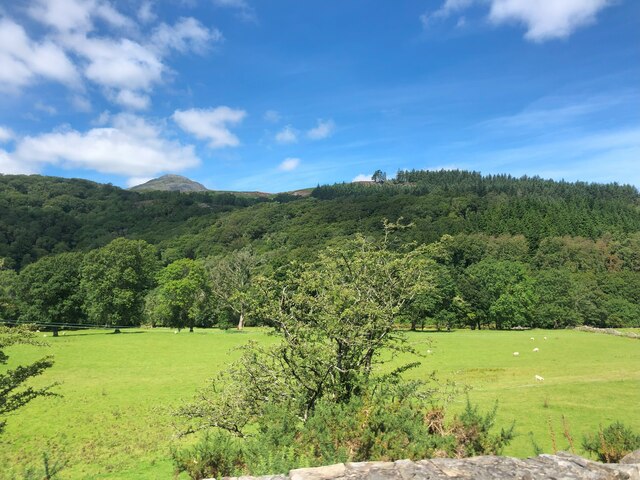
Coed Mawr, located in Merionethshire, is a picturesque woodland area renowned for its natural beauty. Situated in the western region of Wales, this woodland paradise spans across an area of approximately 200 hectares. The name "Coed Mawr" translates to "Wood, Forest" in English, which aptly describes the landscape that visitors can expect to encounter.

The woodland is characterized by its impressive variety of tree species, including oak, beech, ash, and birch. These majestic trees create a dense canopy, providing a cool and tranquil atmosphere. The forest floor is adorned with an array of vibrant wildflowers, adding splashes of color to the verdant surroundings.

Coed Mawr is not only a haven for nature enthusiasts but also an important habitat for local wildlife. The woodland is home to a diverse range of species, including red squirrels, badgers, foxes, and a plethora of bird species. Nature lovers can embark on leisurely walks or hikes along the numerous trails that wind their way through the woodland, providing ample opportunities to observe and appreciate the local wildlife.

In addition to its natural beauty, Coed Mawr also boasts historical significance. The woodland is dotted with remnants of ancient structures, such as stone circles and burial sites, serving as a reminder of the area's rich cultural heritage.

Overall, Coed Mawr in Merionethshire offers visitors a chance to immerse themselves in a tranquil woodland setting, where they can reconnect with nature, explore diverse ecosystems, and appreciate the historical and natural wonders that abound in this enchanting forest.

If you have any feedback on the listing, please let us know in the comments section below.
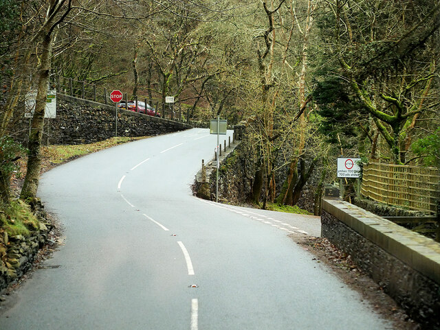
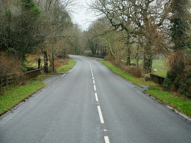
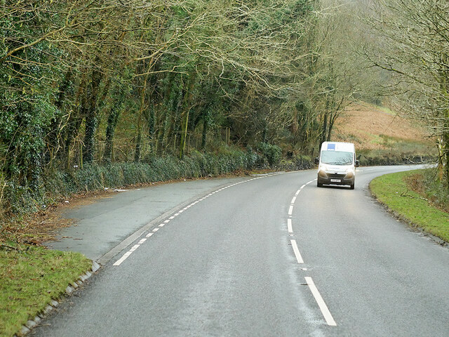
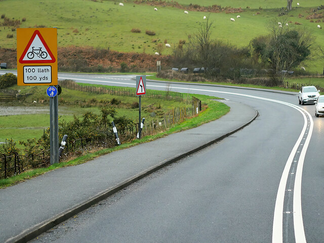
Coed Mawr Images

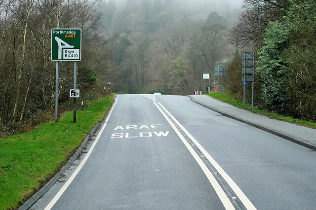
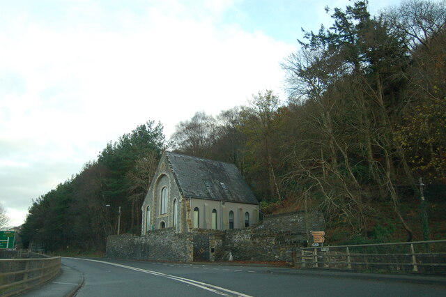
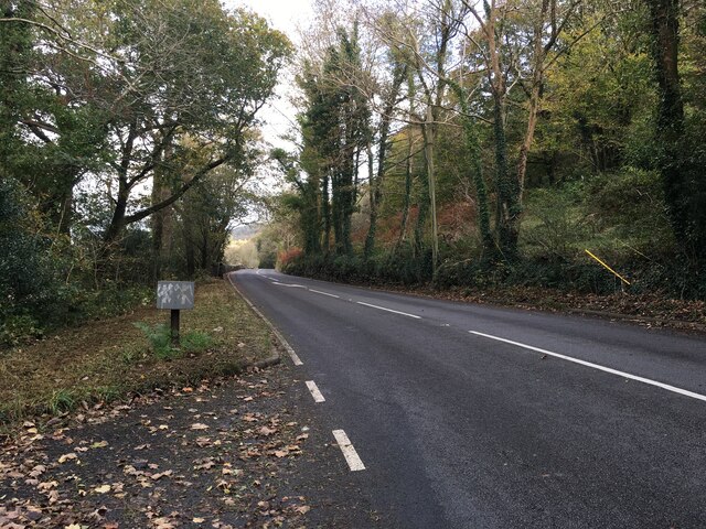
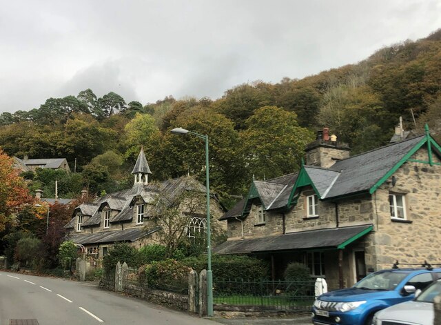
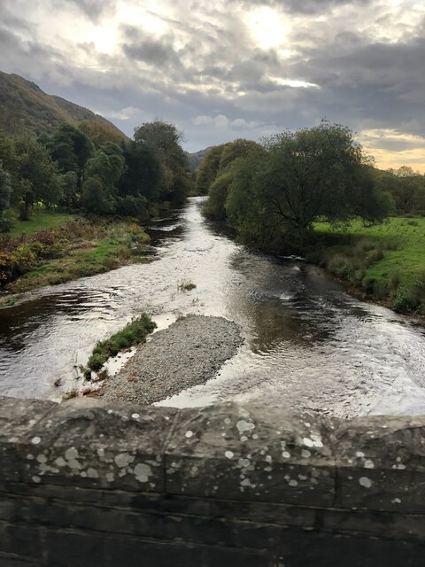
Images are sourced within 2km of 52.946885/-3.9682557 or Grid Reference SH6740. Thanks to Geograph Open Source API. All images are credited.

St Twrog's Parish Church, Maentwrog
Towards Dduallt Station Dduallt Station and the Dduallt Deviation. Seen from the 'Mountain Prince' excursion which takes passengers from Porthmadog to a trip round The Spiral on the deviation then returning via Tan-y-Bwlch for refreshments at the cafe.
Towards Dduallt Station
Dduallt Station and the Dduallt Deviation. Seen from the 'Mountain Prince' excursion which takes passengers from Porthmadog to a trip round The Spiral on the deviation then returning via Tan-y-Bwlch for refreshments at the cafe.
A double-fairlie on the loop at Dduallt In the days when Dduallt was the upper terminus of the Ffestiniog Railway and the 'Deviationists' were working hard to extend the line to Blaenau. Here, the locomotive is running round prior to taking its train back to Porthmadog.
A double-fairlie on the loop at Dduallt
In the days when Dduallt was the upper terminus of the Ffestiniog Railway and the 'Deviationists' were working hard to extend the line to Blaenau. Here, the locomotive is running round prior to taking its train back to Porthmadog.
Ffestiniog Railway, Ddault, 1969 The upper terminus at the time. Work was in progress on the spiral deviation to lift the line above the level of Tanygrisiau Reservoir, which had flooded the original route. This old route is blocked by the white gate.
Ffestiniog Railway, Ddault, 1969
The upper terminus at the time. Work was in progress on the spiral deviation to lift the line above the level of Tanygrisiau Reservoir, which had flooded the original route. This old route is blocked by the white gate.
'Earl of Merioneth' at Dduallt – 1970 This was just a couple of years after the extension to Dduallt was opened to passenger service, with the embankment of the new deviation beginning to take shape.
'Earl of Merioneth' at Dduallt – 1970
This was just a couple of years after the extension to Dduallt was opened to passenger service, with the embankment of the new deviation beginning to take shape.
'Earl of Merioneth' running round at Dduallt – 1970 This was the terminus of the line from 1968 to 1977 when the new extension came into use. The track layout has since been changed so that there is no longer a passing loop, the right hand track being merely a siding.
'Earl of Merioneth' running round at Dduallt – 1970
This was the terminus of the line from 1968 to 1977 when the new extension came into use. The track layout has since been changed so that there is no longer a passing loop, the right hand track being merely a siding.
Waiting for departure, Dduallt – 1970 In the background is the incomplete bridge that would carry the spiral of the deviation enabling the line to eventually reach Blaenau Ffestiniog again.
Waiting for departure, Dduallt – 1970
In the background is the incomplete bridge that would carry the spiral of the deviation enabling the line to eventually reach Blaenau Ffestiniog again.
A496 near Rhyd-y-Sarn The A496 is a major coastal and mountainous road in southern Snowdonia. It runs for almost 33 miles from Blaenau Ffestiniog to Llanelltyd, via Harlech. The road passes through a diverse landscape, including the mountainous region of Blaenau Ffestiniog.
A496 near Rhyd-y-Sarn
The A496 is a major coastal and mountainous road in southern Snowdonia. It runs for almost 33 miles from Blaenau Ffestiniog to Llanelltyd, via Harlech. The road passes through a diverse landscape, including the mountainous region of Blaenau Ffestiniog.
A496 near Pont Taly-y-bont The A496 is a major coastal and mountainous road in southern Snowdonia. It runs for almost 33 miles from Blaenau Ffestiniog to Llanelltyd, via Harlech. The road passes through a diverse landscape, including the mountainous region of Blaenau Ffestiniog.
A496 near Pont Taly-y-bont
The A496 is a major coastal and mountainous road in southern Snowdonia. It runs for almost 33 miles from Blaenau Ffestiniog to Llanelltyd, via Harlech. The road passes through a diverse landscape, including the mountainous region of Blaenau Ffestiniog.
A496 passing Ffatri Farm The A496 is a major coastal and mountainous road in southern Snowdonia. It runs for almost 33 miles from Blaenau Ffestiniog to Llanelltyd, via Harlech. The road passes through a diverse landscape, including the mountainous region of Blaenau Ffestiniog.
A496 passing Ffatri Farm
The A496 is a major coastal and mountainous road in southern Snowdonia. It runs for almost 33 miles from Blaenau Ffestiniog to Llanelltyd, via Harlech. The road passes through a diverse landscape, including the mountainous region of Blaenau Ffestiniog.
Layby on the A496, Vale of Ffestiniog The A496 is a major coastal and mountainous road in southern Snowdonia. It runs for almost 33 miles from Blaenau Ffestiniog to Llanelltyd, via Harlech. The road passes through a diverse landscape, including the mountainous region of Blaenau Ffestiniog.
Layby on the A496, Vale of Ffestiniog
The A496 is a major coastal and mountainous road in southern Snowdonia. It runs for almost 33 miles from Blaenau Ffestiniog to Llanelltyd, via Harlech. The road passes through a diverse landscape, including the mountainous region of Blaenau Ffestiniog.
A487, Maentwrog The A487 is one of the most important roads in Wales. It covers the majority of the west coast from St Davids to Menai Bridge, and is a primary route for most of its length, including a section where it multiplexes with the A470, another important north-south road. Along the way, it runs through two national parks: Snowdonia and Pembrokeshire Coast. Despite its length and importance, it is predominantly single carriageway, although the road has been upgraded in numerous places. It is 174 miles long.
<span class="nowrap"><a title="http://www.sabre-roads.org.uk/wiki/index.php?title=A487" rel="nofollow ugc noopener" href="http://www.sabre-roads.org.uk/wiki/index.php?title=A487">Link</a><img style="margin-left:2px;" alt="External link" title="External link - shift click to open in new window" src="https://s1.geograph.org.uk/img/external.png" width="10" height="10"/></span>
A487, Maentwrog
The A487 is one of the most important roads in Wales. It covers the majority of the west coast from St Davids to Menai Bridge, and is a primary route for most of its length, including a section where it multiplexes with the A470, another important north-south road. Along the way, it runs through two national parks: Snowdonia and Pembrokeshire Coast. Despite its length and importance, it is predominantly single carriageway, although the road has been upgraded in numerous places. It is 174 miles long. LinkExternal link
A487 near Tan-y-bwlch The A487 is one of the most important roads in Wales. It covers the majority of the west coast from St Davids to Menai Bridge, and is a primary route for most of its length, including a section where it multiplexes with the A470, another important north-south road. Along the way, it runs through two national parks: Snowdonia and Pembrokeshire Coast. Despite its length and importance, it is predominantly single carriageway, although the road has been upgraded in numerous places. It is 174 miles long.
<span class="nowrap"><a title="http://www.sabre-roads.org.uk/wiki/index.php?title=A487" rel="nofollow ugc noopener" href="http://www.sabre-roads.org.uk/wiki/index.php?title=A487">Link</a><img style="margin-left:2px;" alt="External link" title="External link - shift click to open in new window" src="https://s1.geograph.org.uk/img/external.png" width="10" height="10"/></span>
A487 near Tan-y-bwlch
The A487 is one of the most important roads in Wales. It covers the majority of the west coast from St Davids to Menai Bridge, and is a primary route for most of its length, including a section where it multiplexes with the A470, another important north-south road. Along the way, it runs through two national parks: Snowdonia and Pembrokeshire Coast. Despite its length and importance, it is predominantly single carriageway, although the road has been upgraded in numerous places. It is 174 miles long. LinkExternal link
Chapel at Maentwrog The old chapel beside the A487 at Maentwrog.  The picture is taken from a car crossing the Afon Dwyryd bridge in the Vale of Ffestiniog at the junction with the A496.
Chapel at Maentwrog
The old chapel beside the A487 at Maentwrog. The picture is taken from a car crossing the Afon Dwyryd bridge in the Vale of Ffestiniog at the junction with the A496.
A496 near Maentwrog
A496 near Maentwrog
Looking across the Dwyryd valley, near Maentwrog Across the valley is Coed Ty Coch, and the summit of Moelwyn Bach in the far distance
Looking across the Dwyryd valley, near Maentwrog
Across the valley is Coed Ty Coch, and the summit of Moelwyn Bach in the far distance
The Old School, Maentwrog Grade II listed late C19 school in the centre of the village
The Old School, Maentwrog
Grade II listed late C19 school in the centre of the village
The River Dwyryd from Maentwrog Bridge
Show me another place!

Coed Mawr is located at Grid Ref: SH6740 (Lat: 52.946885, Lng: -3.9682557)

Unitary Authority: Gwynedd

Police Authority: North Wales

What 3 Words

///earlobe.mango.parkway. Near Maentwrog, Gwynedd

Related Wikis

Ceunant Llennyrch National Nature Reserve

Ceunant Llennyrch National Nature Reserve is one of several woodland reserves in the Vale of Ffestiniog in Gwynedd, Wales and runs from Llyn Trawsfynydd...

Gellilydan

Gellilydan () is a village in the Welsh county of Gwynedd, in Maentwrog community. It lies 4 miles (6.4 km) south-south-east of Blaenau Ffestiniog. The...

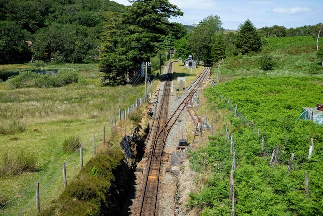
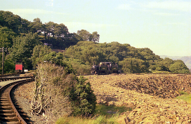
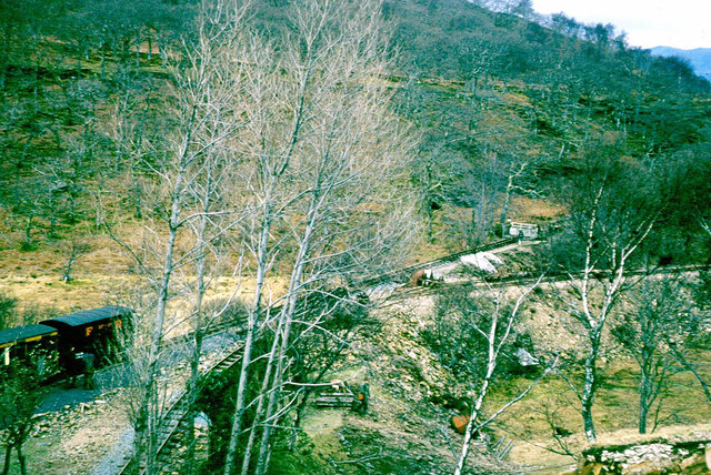
Campbell's Platform railway station

Campbell's Platform (grid reference SH673418) is a private, unstaffed halt on the Welsh narrow gauge Ffestiniog Railway, which was built in 1836 to carry...

Maentwrog

Maentwrog () is a village and community in the Welsh county of Merionethshire (now part of Gwynedd), lying in the Vale of Ffestiniog just below Blaenau...

Nearby Amenities

Located within 500m of 52.946885,-3.9682557
Power: pole
Lat/Long: 52.9440382/-3.9629546
Power: pole
Lat/Long: 52.9445534/-3.9625457
Material: wood
Power: pole
Lat/Long: 52.9463759/-3.961194
Direction: W
Generator Method: photovoltaic
Generator Output Electricity: yes
Generator Solar Modules: 10
Generator Source: solar
Generator Type: solar_photovoltaic_panel
Location: roof
Power: generator
Lat/Long: 52.946949/-3.9618266
Direction: E
Generator Method: photovoltaic
Generator Output Electricity: yes
Generator Solar Modules: 10
Generator Source: solar
Generator Type: solar_photovoltaic_panel
Location: roof
Power: generator
Lat/Long: 52.9469514/-3.9617756
The data included in this document is from www.openstreetmap.org. The data is made available under ODbL.

Have you been to Coed Mawr?

Leave your review of Coed Mawr below (or comments, questions and feedback).