Lodge Plantation
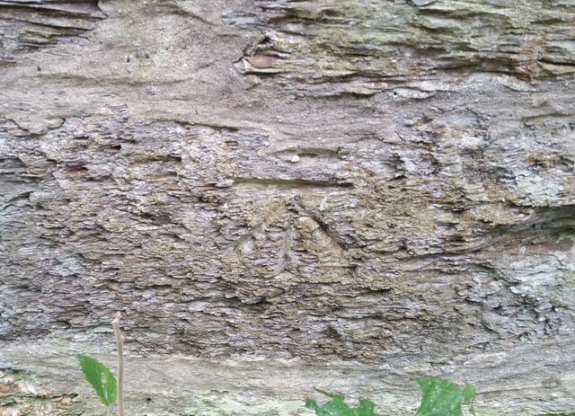
Wood, Forest in Merionethshire
Wales
Lodge Plantation
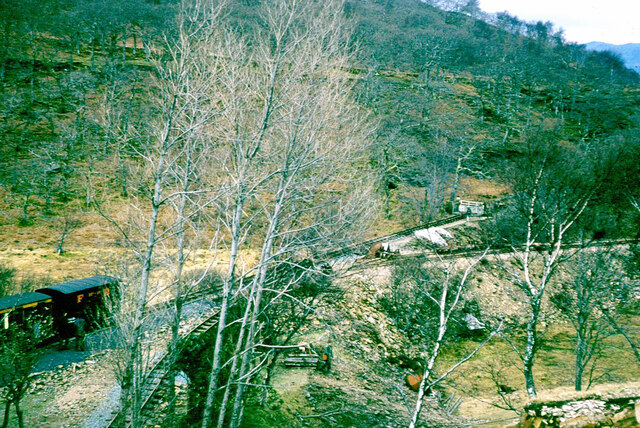
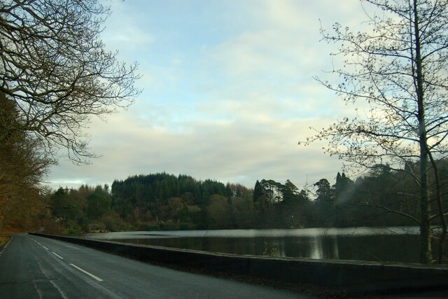
Lodge Plantation is a picturesque woodland located in the county of Merionethshire, Wales. Situated in the heart of the Snowdonia National Park, this enchanting forest covers an area of approximately 100 hectares, making it a popular destination for nature enthusiasts and hikers alike.
The plantation is predominantly composed of native tree species such as oak, birch, and beech, creating a diverse and thriving ecosystem. The woodland floor is adorned with a vibrant carpet of ferns, bluebells, and wildflowers, adding to the area's natural beauty and providing a habitat for a wide range of wildlife.
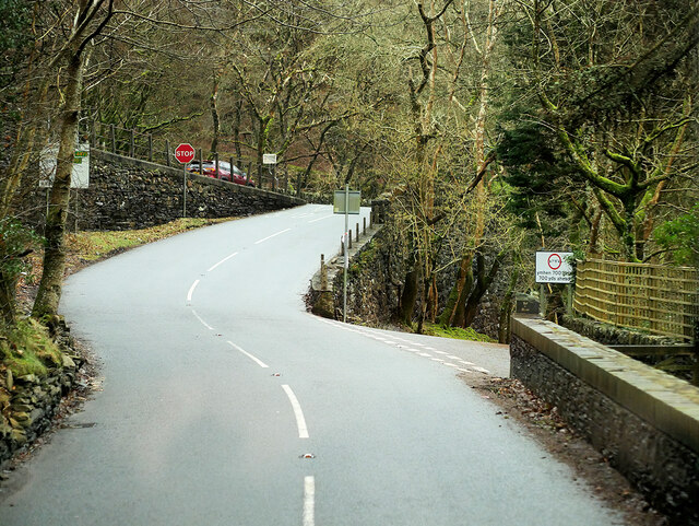
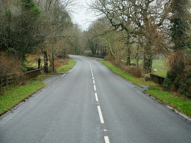
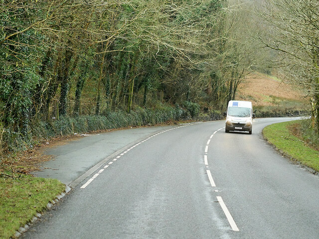
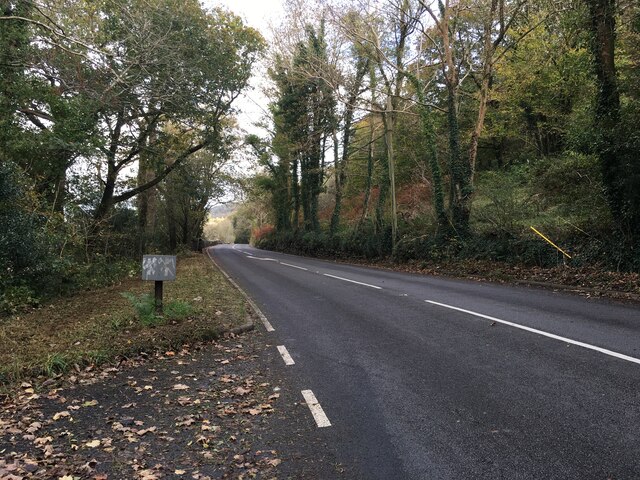
Visitors to Lodge Plantation can explore a network of well-maintained trails and footpaths that meander through the forest, offering stunning views of the surrounding countryside and nearby mountains. The tranquil atmosphere and serene surroundings make it an ideal location for those seeking peace and solitude.
In addition to its natural splendor, Lodge Plantation also boasts a rich cultural and historical heritage. The area is dotted with remnants of old mining and quarrying activities, offering a glimpse into the region's industrial past. Furthermore, the forest is home to several ancient archaeological sites, including standing stones and burial mounds, which provide a fascinating insight into the area's ancient inhabitants.
Whether one is seeking a peaceful retreat in nature, a chance to spot wildlife, or a journey through history, Lodge Plantation in Merionethshire offers a captivating and enriching experience for all who visit.
If you have any feedback on the listing, please let us know in the comments section below.
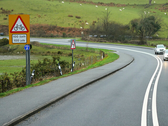
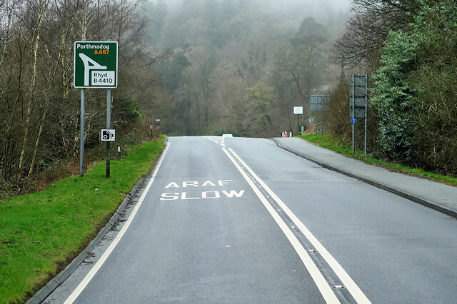
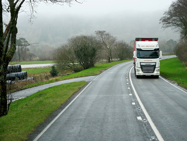
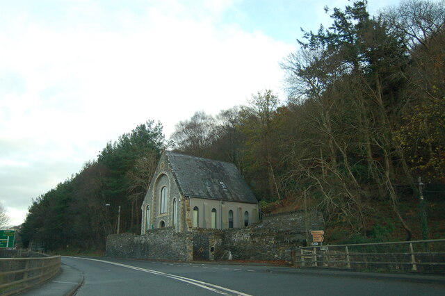
Lodge Plantation Images
Images are sourced within 2km of 52.94783/-3.9806233 or Grid Reference SH6740. Thanks to Geograph Open Source API. All images are credited.
Lodge Plantation is located at Grid Ref: SH6740 (Lat: 52.94783, Lng: -3.9806233)
Unitary Authority: Gwynedd
Police Authority: North Wales
What 3 Words
///names.emulating.called. Near Maentwrog, Gwynedd
Nearby Locations
Related Wikis

Maentwrog
Maentwrog () is a village and community in the Welsh county of Merionethshire (now part of Gwynedd), lying in the Vale of Ffestiniog just below Blaenau...

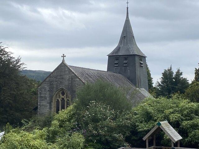
St Twrog's Church, Maentwrog
Saint Twrog's Church is in the village of Maentwrog in the Welsh county of Gwynedd, lying in the Vale of Ffestiniog, within the Snowdonia National Park...
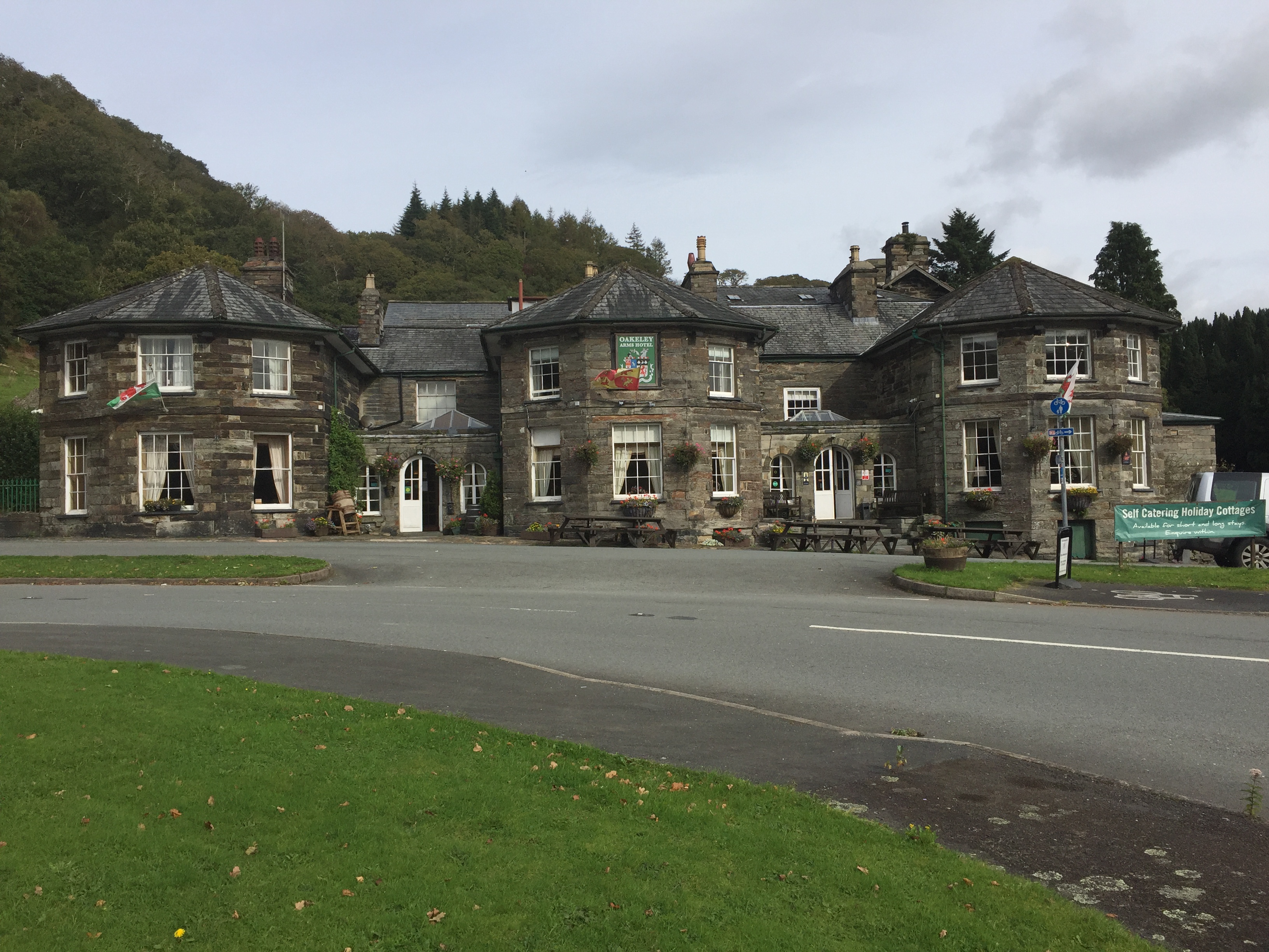
Oakeley Arms Hotel
The Oakeley Arms Hotel is a Grade II listed hotel near Maentwrog in North Wales. The original building dates back to the 17th century, and was once part...

Tan-y-Bwlch, Maentwrog
Tan-y-Bwlch (Welsh for Under the pass/gap) lies in the Snowdonia National Park in North Wales and is primarily known as the location of Tan-y-Bwlch railway...

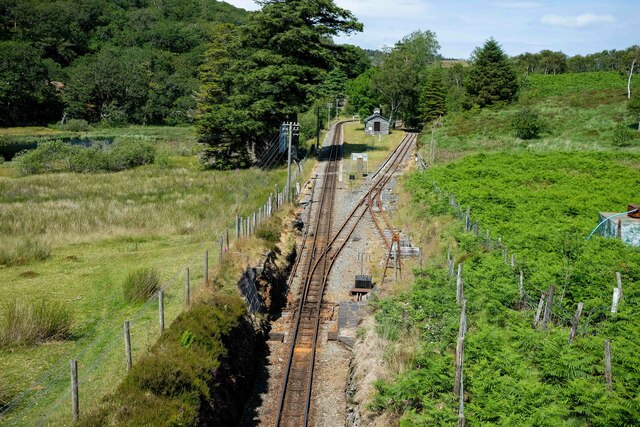
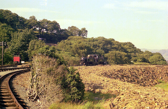
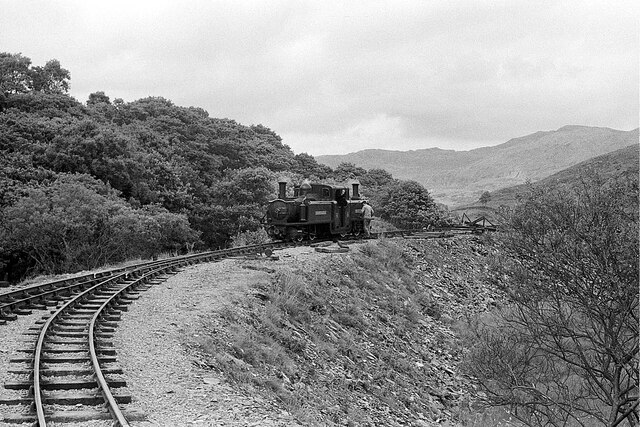
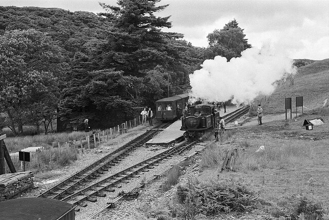
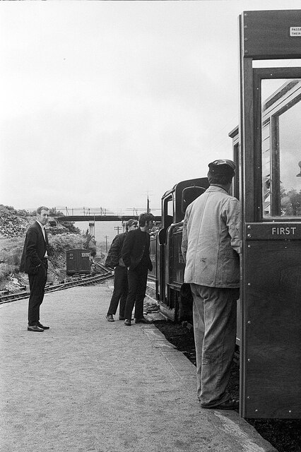
Campbell's Platform railway station
Campbell's Platform (grid reference SH673418) is a private, unstaffed halt on the Welsh narrow gauge Ffestiniog Railway, which was built in 1836 to carry...
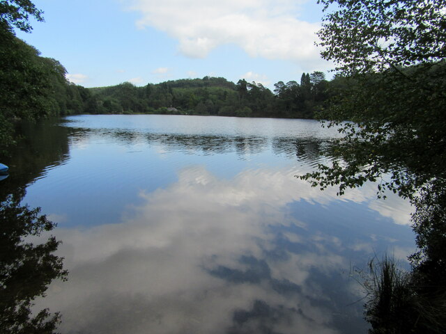
Ceunant Llennyrch National Nature Reserve
Ceunant Llennyrch National Nature Reserve is one of several woodland reserves in the Vale of Ffestiniog in Gwynedd, Wales and runs from Llyn Trawsfynydd...
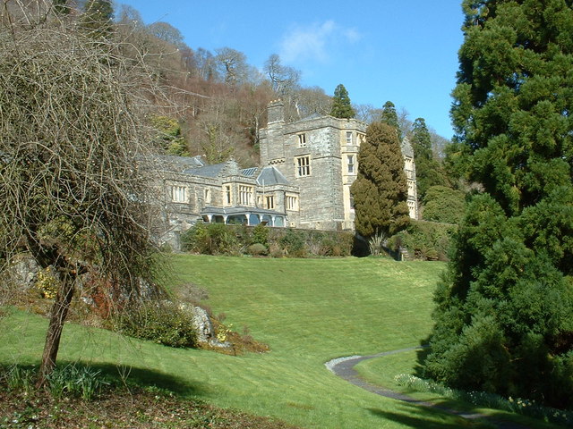
Plas Tan y Bwlch
Plas Tan y Bwlch in Gwynedd, Wales, is the Snowdonia National Park environmental studies centre, administered by the National Park Authority. It is located...

Coed Camlyn National Nature Reserve
Coed Camlyn National Nature Reserve is a nature reserve located south of the village of Maentwrog in Gwynedd, Wales. Rising steeply from the River Dwyryd...
Nearby Amenities
Located within 500m of 52.94783,-3.9806233Have you been to Lodge Plantation?
Leave your review of Lodge Plantation below (or comments, questions and feedback).