Piper's Moss

Downs, Moorland in Kirkcudbrightshire

Scotland

Piper's Moss

Fundamental Benchmark Dalry Also known as an FBM or mini trig point however this is not a trig point and is nothing to do with triangulation

<span class="nowrap"><a title="https://trigpointing.uk/trig/7193" rel="nofollow ugc noopener" href="https://trigpointing.uk/trig/7193">Link</a><img style="margin-left:2px;" alt="External link" title="External link - shift click to open in new window" src="https://s1.geograph.org.uk/img/external.png" width="10" height="10"/></span>

<span class="nowrap"><a title="https://trigpointing.uk/wiki/FBM" rel="nofollow ugc noopener" href="https://trigpointing.uk/wiki/FBM">Link</a><img style="margin-left:2px;" alt="External link" title="External link - shift click to open in new window" src="https://s1.geograph.org.uk/img/external.png" width="10" height="10"/></span>
An underground chamber topped with a short granite pillar. The pillar contains an easily accessible height reference point, but the accurately measured level is underground where it is less likely to be disturbed. There are approximately 207 FBMs across the country and whilst a few have fallen into disuse, most have been incorporated into the National GPS Network as Passive Stations.
For a detailed breakdown of the different types of FBM, see Ian Richardson's FBM styles - A Pictorial Guide.
Fundamental Benchmark Dalry Credit: thejackrustles

Piper's Moss is a captivating natural area located in Kirkcudbrightshire, Scotland. Nestled amidst rolling hills and breathtaking landscapes, this remarkable expanse of downs and moorland is a true haven for nature enthusiasts and adventure seekers alike.

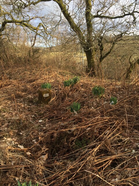
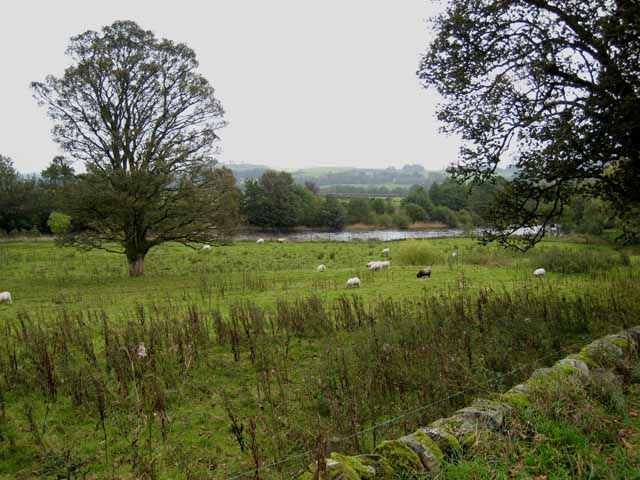
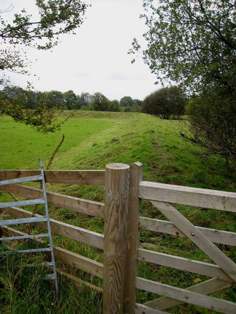
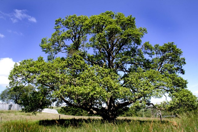
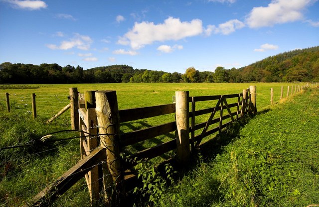
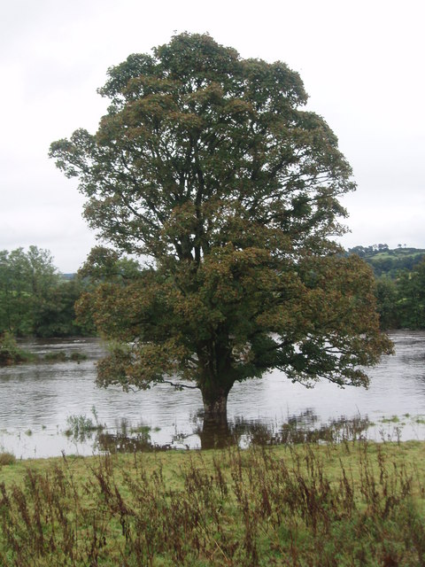
Stretching over vast acres, Piper's Moss offers a diverse range of ecosystems, each providing a unique experience. The downs, characterized by their open grassy plains, are a sight to behold, offering panoramic views of the surrounding countryside. The moorland, on the other hand, is a captivating blend of heather-covered hillsides, peat bogs, and scattered rock formations, creating an enchanting atmosphere.

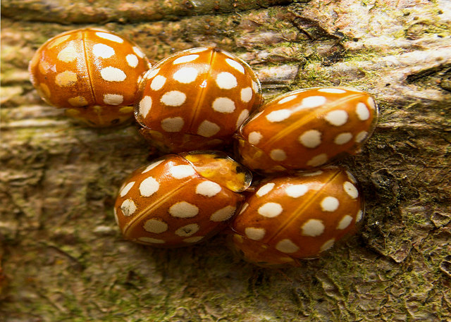
The moss is home to a rich variety of flora and fauna, with heather, gorse, and wildflowers dotting the landscape. The area is also known for its vibrant birdlife, making it a popular spot for birdwatching enthusiasts. Visitors can expect to spot species such as curlews, lapwings, and skylarks, among others.

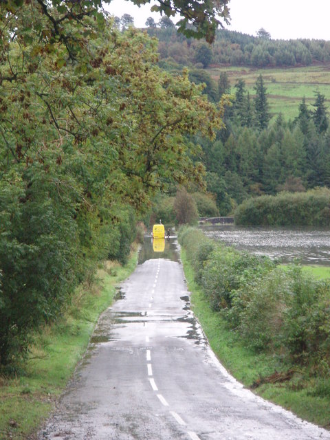
For those seeking adventure, Piper's Moss offers ample opportunities for exploration. Hiking and walking trails crisscross the area, allowing visitors to immerse themselves in its natural beauty. The moss is also home to fascinating historical remains, including ancient burial mounds, indicating human presence in the area for centuries.

Overall, Piper's Moss is a tranquil and captivating natural area that showcases the raw beauty of Kirkcudbrightshire. Whether you are a nature lover, a history buff, or simply seeking solace in the midst of nature, a visit to Piper's Moss is sure to leave a lasting impression.

If you have any feedback on the listing, please let us know in the comments section below.

Piper's Moss Images

Images are sourced within 2km of 55.086383/-4.1804057 or Grid Reference NX6079. Thanks to Geograph Open Source API. All images are credited.

Fundamental Benchmark Dalry Also known as an FBM or mini trig point however this is not a trig point and is nothing to do with triangulation

<span class="nowrap"><a title="https://trigpointing.uk/trig/7193" rel="nofollow ugc noopener" href="https://trigpointing.uk/trig/7193">Link</a><img style="margin-left:2px;" alt="External link" title="External link - shift click to open in new window" src="https://s1.geograph.org.uk/img/external.png" width="10" height="10"/></span>

<span class="nowrap"><a title="https://trigpointing.uk/wiki/FBM" rel="nofollow ugc noopener" href="https://trigpointing.uk/wiki/FBM">Link</a><img style="margin-left:2px;" alt="External link" title="External link - shift click to open in new window" src="https://s1.geograph.org.uk/img/external.png" width="10" height="10"/></span>
An underground chamber topped with a short granite pillar. The pillar contains an easily accessible height reference point, but the accurately measured level is underground where it is less likely to be disturbed. There are approximately 207 FBMs across the country and whilst a few have fallen into disuse, most have been incorporated into the National GPS Network as Passive Stations.
For a detailed breakdown of the different types of FBM, see Ian Richardson's FBM styles - A Pictorial Guide.
Fundamental Benchmark Dalry
Also known as an FBM or mini trig point however this is not a trig point and is nothing to do with triangulation LinkExternal link LinkExternal link An underground chamber topped with a short granite pillar. The pillar contains an easily accessible height reference point, but the accurately measured level is underground where it is less likely to be disturbed. There are approximately 207 FBMs across the country and whilst a few have fallen into disuse, most have been incorporated into the National GPS Network as Passive Stations. For a detailed breakdown of the different types of FBM, see Ian Richardson's FBM styles - A Pictorial Guide.
Glenlee Power Station The chief station of the Galloway Hydro Scheme, from where all the other power stations are controlled.
Glenlee Power Station
The chief station of the Galloway Hydro Scheme, from where all the other power stations are controlled.
Glenlee Power Station Water from Clatteringshaws Loch is conveyed by a 6km tunnel to a valve house above the power station, the pipe line is concrete through hillside then mild steel from portal valve to station & into the turbines.
Glenlee Power Station
Water from Clatteringshaws Loch is conveyed by a 6km tunnel to a valve house above the power station, the pipe line is concrete through hillside then mild steel from portal valve to station & into the turbines.
Glenlee Power Station Tailrace taking the water from the power station back to the Water of Ken to be re-used by the next station in the chain.
Glenlee Power Station
Tailrace taking the water from the power station back to the Water of Ken to be re-used by the next station in the chain.
Water of Ken A short way below St John's Town of Dalry.
Water of Ken
A short way below St John's Town of Dalry.
Floodbank alongside the Water of Ken
Ladybirds
Ladybirds
Dandelion Head Glenlee Village
Oak Tree Behind Glenlee Power Station
Part of Glenlee Village Built in the 1930`s to house the staff who worked at the local Hydro Electric scheme formerly SSEB, now Scottish Power
Part of Glenlee Village
Built in the 1930`s to house the staff who worked at the local Hydro Electric scheme formerly SSEB, now Scottish Power
Empty field near Coom Burn Glenlee
Flooding on the A762 Heavy rains created high water levels in the River Ken which in turn caused a minor tributary, the Coomb Burn to spill over its banks and flood the A762, causing delayed parcel deliveries for this unfortunate driver.
Flooding on the A762
Heavy rains created high water levels in the River Ken which in turn caused a minor tributary, the Coomb Burn to spill over its banks and flood the A762, causing delayed parcel deliveries for this unfortunate driver.
Flooded Water of Ken Compare with Oliver's picture "Water of Ken"
Flooded Water of Ken
Compare with Oliver's picture "Water of Ken"
River Ken, with water from Glenlee Tailrace Emerging In The Foreground
House near Glenlee Power Station
Glenlee Power Station Water outlet from the two turbines in full flow
Glenlee Power Station
Water outlet from the two turbines in full flow
Bridge over the River
River towards Coom Bridge
Show me another place!

Piper's Moss is located at Grid Ref: NX6079 (Lat: 55.086383, Lng: -4.1804057)

Unitary Authority: Dumfries and Galloway

Police Authority: Dumfries and Galloway

What 3 Words

///squabbles.bigger.earlobe. Near Castle Douglas, Dumfries & Galloway

Related Wikis

Kells, Dumfries and Galloway

Kells parish, in the Stewartry of Kirkcudbright in Scotland, is located 14 miles (NWbN) from Castle-Douglas, and 19 miles (NbW) from Kirkcudbright. It...

St John's Town of Dalry

St John's Town of Dalry (Scottish Gaelic: Clachan Eòin), usually referred to simply as Dalry (/dæl'raɪ/ / 'dal-RYE'), is a village in Dumfries and Galloway...

New Galloway Town Hall

The New Galloway Town Hall is a municipal building in Dumfries and Galloway, Scotland, situated on the town's high street. A tolbooth has existed on the...

Water of Ken

The Water of Ken is a river in the historical county of Kirkcudbrightshire in Galloway, south-west Scotland. It rises on Blacklorg Hill, north-east of...

New Galloway

New Galloway (Scottish Gaelic: Gall-Ghàidhealaibh Nuadh) is a town in the historical county of Kirkcudbrightshire in Dumfries and Galloway. It lies on...

Ken Bridge

The Ken Bridge is a road bridge about 0.8 kilometres (0.5 mi) north east of New Galloway in Dumfries and Galloway, Scotland, which carries the A712 road...

Kenmure Castle

Kenmure Castle is a fortified house or castle in The Glenkens, 1 mile (1.6 km) south of the town of New Galloway in Kirkcudbrightshire, Galloway, south...

Balmaclellan

Balmaclellan (Scottish Gaelic: Baile Mac-a-ghille-dhiolan, meaning town of the MacLellans) is a small hillside village of stone houses with slate roofs...

Nearby Amenities

Located within 500m of 55.086383,-4.1804057
Shiel Hill
Ele: 198
Natural: peak
Note: OS7 says 650 feet
Source: OS7
Lat/Long: 55.0882747/-4.1806715
Power: pole
Lat/Long: 55.0903875/-4.1768247
Power: pole
Lat/Long: 55.0906743/-4.1780503
The data included in this document is from www.openstreetmap.org. The data is made available under ODbL.

Have you been to Piper's Moss?

Leave your review of Piper's Moss below (or comments, questions and feedback).