Hells Hole

Waterfall in Kirkcudbrightshire

Scotland

Hells Hole

Ayr Road (A713), St. John's Town of Dalry
Ayr Road (A713), St. John's Town of Dalry Credit: habiloid

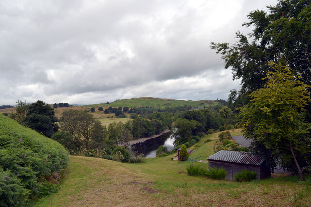
Hells Hole, located in Kirkcudbrightshire, Scotland, is a stunning waterfall that is known for its natural beauty and captivating surroundings. The waterfall is situated in a remote and picturesque valley, surrounded by lush greenery and towering cliffs, creating a mesmerizing setting for visitors.

Hells Hole is formed by the cascading waters of the nearby river as it plummets over a series of rocky ledges. The waterfall itself is characterized by its impressive height, with water crashing down from a considerable height into a crystal-clear pool below. The force of the water creates a thunderous roar, adding to the dramatic atmosphere of the place.

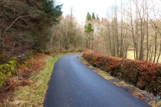
Accessing Hells Hole requires a short hike through moss-covered paths, providing an opportunity for visitors to immerse themselves in the tranquility of the Scottish countryside. The journey to the waterfall is often described as adventurous, as the terrain can be rugged and challenging in places, but the reward of witnessing the majestic waterfall up close makes it all worthwhile.

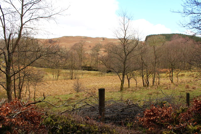
The area surrounding Hells Hole is rich in biodiversity, with a diverse range of flora and fauna thriving in the moist and fertile conditions. Ferns, mosses, and wildflowers carpet the landscape, creating a vibrant and vibrant scene. The waterfall is also known to attract a variety of bird species, making it a haven for birdwatchers and nature enthusiasts.

Hells Hole, Kirkcudbrightshire, offers visitors a chance to connect with nature and experience the awe-inspiring beauty of Scotland's wilderness. Whether it is the power of the cascading waters or the serenity of the surrounding landscape, this waterfall is sure to leave a lasting impression on all who visit.

If you have any feedback on the listing, please let us know in the comments section below.
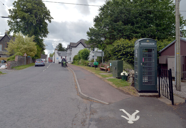
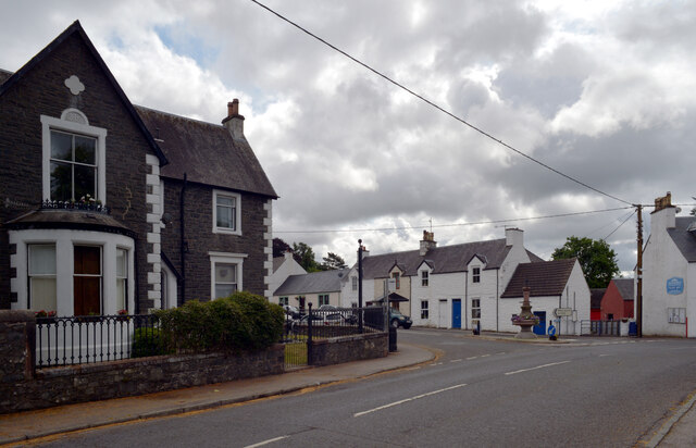
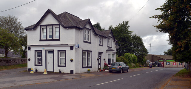
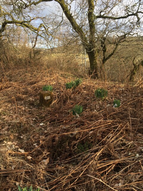
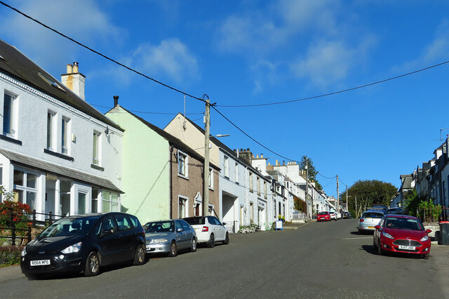
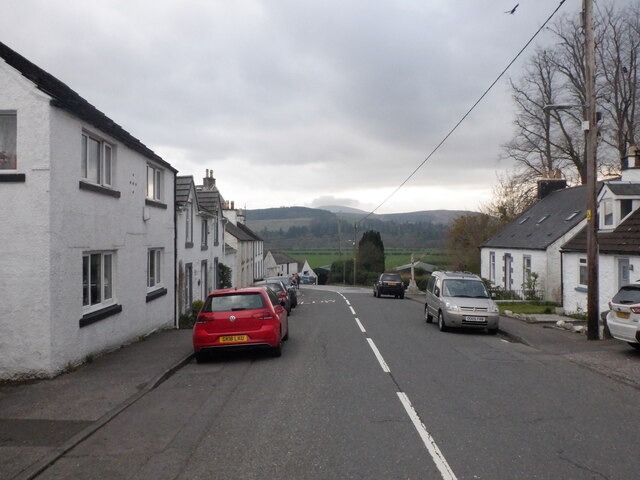
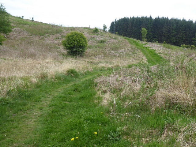
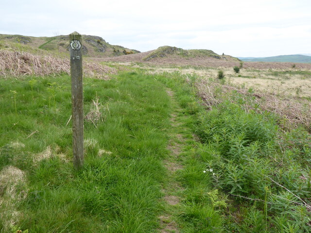
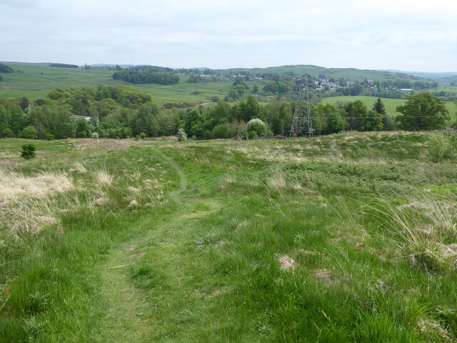
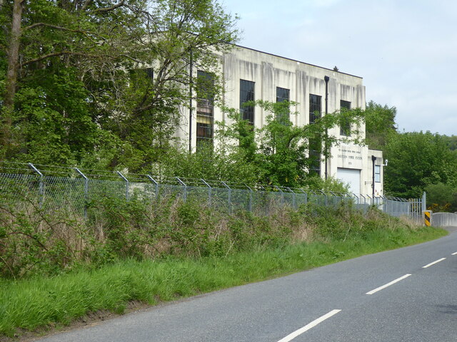
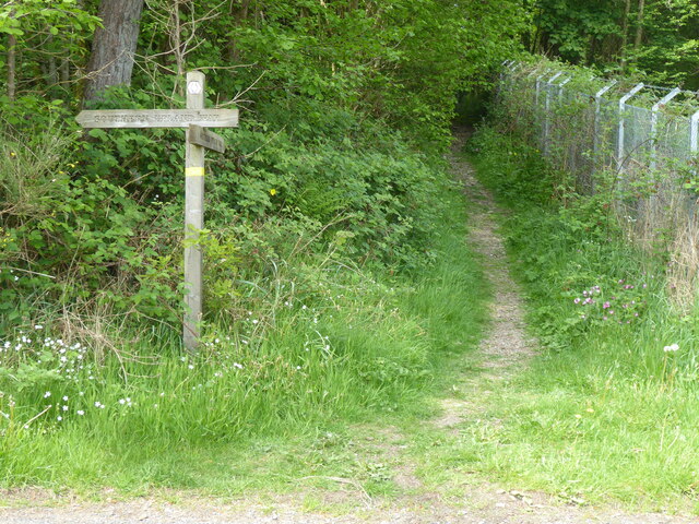
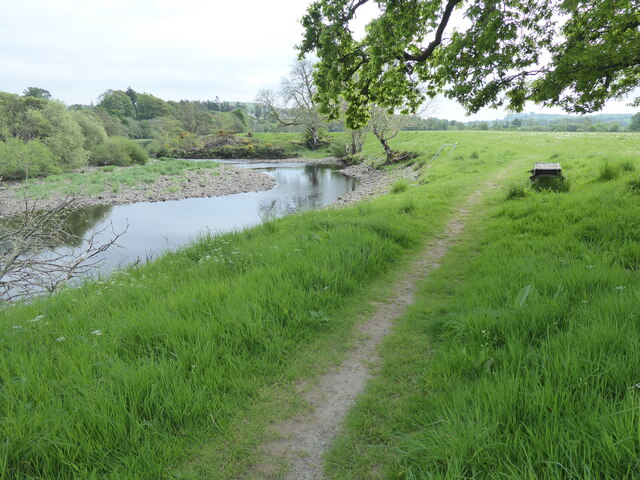
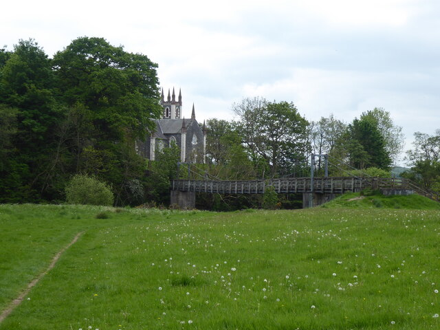
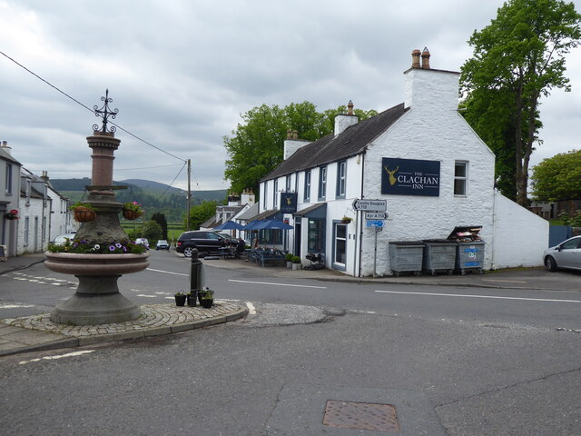
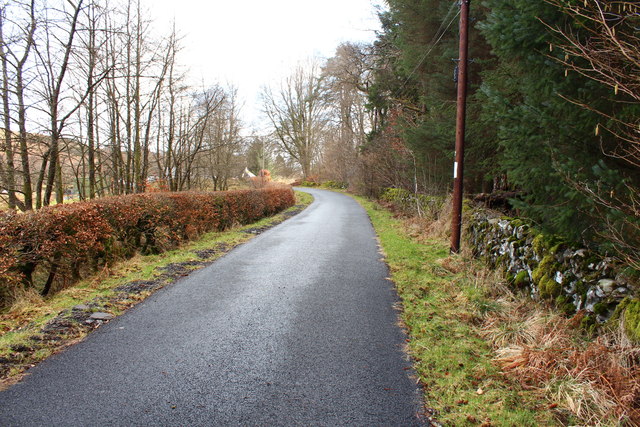
Hells Hole Images

Images are sourced within 2km of 55.09422/-4.1829639 or Grid Reference NX6079. Thanks to Geograph Open Source API. All images are credited.

Ayr Road (A713), St. John's Town of Dalry
Ayr Road (A713), St. John's Town of Dalry Looking towards its junction with Main Street.
Ayr Road (A713), St. John's Town of Dalry
Looking towards its junction with Main Street.
Police station, Ayr Road (A713), St. John's Town of Dalry
Water of Ken, St. John's Town of Dalry The view from the service station on Ayr Road.
Water of Ken, St. John's Town of Dalry
The view from the service station on Ayr Road.
Fundamental Benchmark Dalry Also known as an FBM or mini trig point however this is not a trig point and is nothing to do with triangulation

<span class="nowrap"><a title="https://trigpointing.uk/trig/7193" rel="nofollow ugc noopener" href="https://trigpointing.uk/trig/7193">Link</a><img style="margin-left:2px;" alt="External link" title="External link - shift click to open in new window" src="https://s1.geograph.org.uk/img/external.png" width="10" height="10"/></span>

<span class="nowrap"><a title="https://trigpointing.uk/wiki/FBM" rel="nofollow ugc noopener" href="https://trigpointing.uk/wiki/FBM">Link</a><img style="margin-left:2px;" alt="External link" title="External link - shift click to open in new window" src="https://s1.geograph.org.uk/img/external.png" width="10" height="10"/></span>
An underground chamber topped with a short granite pillar. The pillar contains an easily accessible height reference point, but the accurately measured level is underground where it is less likely to be disturbed. There are approximately 207 FBMs across the country and whilst a few have fallen into disuse, most have been incorporated into the National GPS Network as Passive Stations.
For a detailed breakdown of the different types of FBM, see Ian Richardson's FBM styles - A Pictorial Guide.
Fundamental Benchmark Dalry
Also known as an FBM or mini trig point however this is not a trig point and is nothing to do with triangulation LinkExternal link LinkExternal link An underground chamber topped with a short granite pillar. The pillar contains an easily accessible height reference point, but the accurately measured level is underground where it is less likely to be disturbed. There are approximately 207 FBMs across the country and whilst a few have fallen into disuse, most have been incorporated into the National GPS Network as Passive Stations. For a detailed breakdown of the different types of FBM, see Ian Richardson's FBM styles - A Pictorial Guide.
Main Street, Dalry Most through traffic misses Main Street which lies off the A713.
Main Street, Dalry
Most through traffic misses Main Street which lies off the A713.
Main Street, Dalry
Main Street, Dalry
The Southern Upland Way near Waterside Hill
The Southern Upland Way near Craiggubble Wood
The Southern Upland Way near St John's Town of Dalry
The Southern Upland Way in St John's Town of Dalry
Road to New Galloway near Forkins
Road to Knocksheen
Road to Knocksheen
Woodland at Forkins
Woodland at Forkins
Show me another place!

Hells Hole is located at Grid Ref: NX6079 (Lat: 55.09422, Lng: -4.1829639)

Unitary Authority: Dumfries and Galloway

Police Authority: Dumfries and Galloway

What 3 Words

///yelled.craziest.shielding. Near Castle Douglas, Dumfries & Galloway

Related Wikis

St John's Town of Dalry

St John's Town of Dalry (Scottish Gaelic: Clachan Eòin), usually referred to simply as Dalry (/dæl'raɪ/ / 'dal-RYE'), is a village in Dumfries and Galloway...

Kells, Dumfries and Galloway

Kells parish, in the Stewartry of Kirkcudbright in Scotland, is located 14 miles (NWbN) from Castle-Douglas, and 19 miles (NbW) from Kirkcudbright. It...

New Galloway Town Hall

The New Galloway Town Hall is a municipal building in Dumfries and Galloway, Scotland, situated on the town's high street. A tolbooth has existed on the...

Ken Bridge

The Ken Bridge is a road bridge about 0.8 kilometres (0.5 mi) north east of New Galloway in Dumfries and Galloway, Scotland, which carries the A712 road...

New Galloway

New Galloway (Scottish Gaelic: Gall-Ghàidhealaibh Nuadh) is a town in the historical county of Kirkcudbrightshire in Dumfries and Galloway. It lies on...

Water of Ken

The Water of Ken is a river in the historical county of Kirkcudbrightshire in Galloway, south-west Scotland. It rises on Blacklorg Hill, north-east of...

Earlstoun Castle

Earlstoun Castle, sometimes spelled Earlston Castle, is a derelict tower house near St John's Town of Dalry in Dumfries and Galloway, Scotland. Built in...

Polharrow Burn

Polharrow Burn is a small watercourse in Dumfries and Galloway, Scotland, in the historic county of Kirkcudbrightshire. It rises in Loch Harrow and flows...

Nearby Amenities

Located within 500m of 55.09422,-4.1829639
Power: tower
Lat/Long: 55.0964628/-4.1885485
Power: tower
Lat/Long: 55.0950201/-4.1905655
Power: pole
Lat/Long: 55.0981182/-4.1799391
Power: pole
Lat/Long: 55.0984004/-4.1819096
Power: pole
Lat/Long: 55.0983422/-4.1815259
Power: pole
Lat/Long: 55.0971539/-4.1815644
Power: pole
Lat/Long: 55.0970593/-4.1815981
Power: pole
Lat/Long: 55.0978953/-4.1815532
Power: pole
Lat/Long: 55.0909783/-4.1793303
Power: pole
Lat/Long: 55.0913031/-4.1806797
Power: pole
Lat/Long: 55.0915761/-4.1817876
Power: pole
Lat/Long: 55.0918957/-4.182968
Power: pole
Lat/Long: 55.0921807/-4.1840306
Power: pole
Lat/Long: 55.0925539/-4.1854193
Power: pole
Lat/Long: 55.0928735/-4.1866661
Power: pole
Lat/Long: 55.0931758/-4.1878283
Power: pole
Lat/Long: 55.0938662/-4.1878248
Power: pole
Lat/Long: 55.094716/-4.1878321
Power: pole
Lat/Long: 55.0947592/-4.1877929
Power: pole
Lat/Long: 55.0949777/-4.1886608
Power: pole
Lat/Long: 55.0955678/-4.1878086
Power: pole
Lat/Long: 55.095583/-4.1879584
Power: pole
Lat/Long: 55.094312/-4.1893445
Power: pole
Lat/Long: 55.0945895/-4.1907051
Power: pole
Lat/Long: 55.0961722/-4.1873532
Power: pole
Lat/Long: 55.0961239/-4.1872536
Power: pole
Lat/Long: 55.096712/-4.1866212
Power: pole
Lat/Long: 55.0969349/-4.1865638
Power: pole
Lat/Long: 55.0932953/-4.1905475
Power: pole
Lat/Long: 55.0937857/-4.1899918
The data included in this document is from www.openstreetmap.org. The data is made available under ODbL.

Have you been to Hells Hole?

Leave your review of Hells Hole below (or comments, questions and feedback).