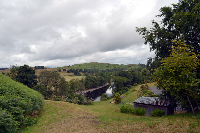
Bucks Linn

Waterfall in Kirkcudbrightshire

Scotland

Bucks Linn

Ayr Road (A713), St. John's Town of Dalry
Ayr Road (A713), St. John's Town of Dalry Credit: habiloid

The requested URL returned error: 429 Too Many Requests

If you have any feedback on the listing, please let us know in the comments section below.
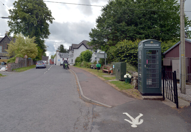
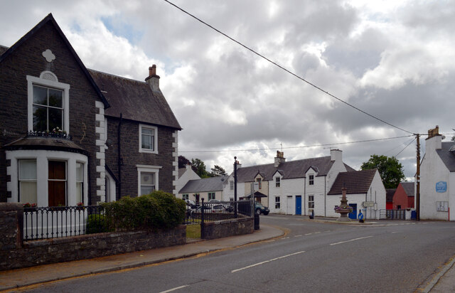
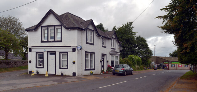
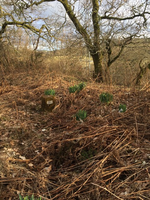
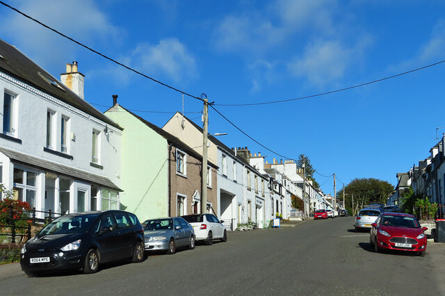
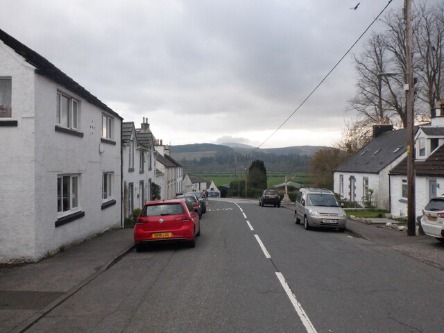
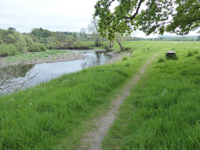
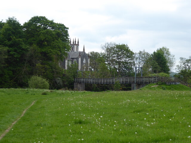
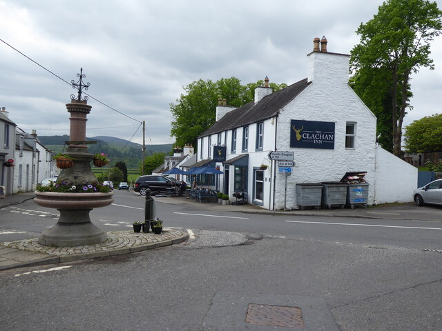
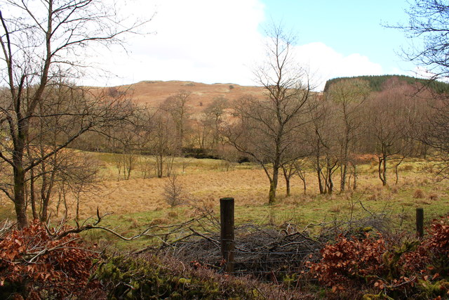
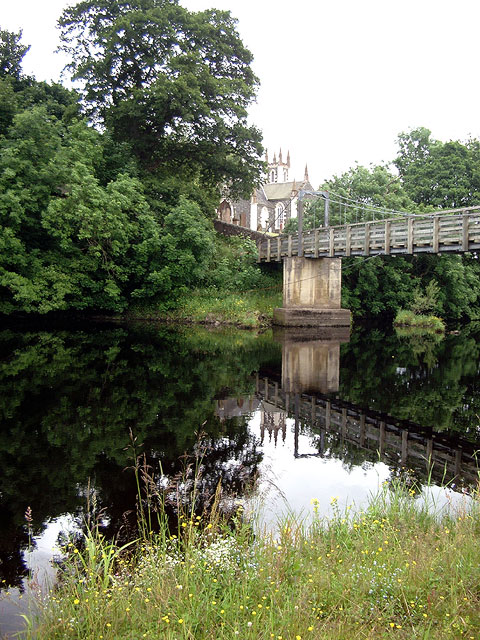
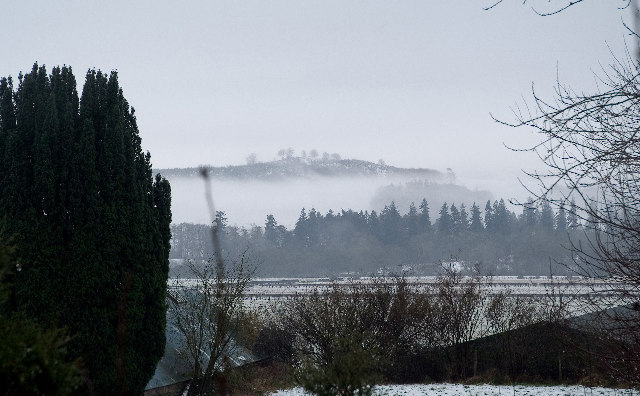
Bucks Linn Images

Images are sourced within 2km of 55.093092/-4.1827457 or Grid Reference NX6079. Thanks to Geograph Open Source API. All images are credited.

Ayr Road (A713), St. John's Town of Dalry
Ayr Road (A713), St. John's Town of Dalry Looking towards its junction with Main Street.
Ayr Road (A713), St. John's Town of Dalry
Looking towards its junction with Main Street.
Police station, Ayr Road (A713), St. John's Town of Dalry
Water of Ken, St. John's Town of Dalry The view from the service station on Ayr Road.
Water of Ken, St. John's Town of Dalry
The view from the service station on Ayr Road.
Fundamental Benchmark Dalry Also known as an FBM or mini trig point however this is not a trig point and is nothing to do with triangulation

<span class="nowrap"><a title="https://trigpointing.uk/trig/7193" rel="nofollow ugc noopener" href="https://trigpointing.uk/trig/7193">Link</a><img style="margin-left:2px;" alt="External link" title="External link - shift click to open in new window" src="https://s1.geograph.org.uk/img/external.png" width="10" height="10"/></span>

<span class="nowrap"><a title="https://trigpointing.uk/wiki/FBM" rel="nofollow ugc noopener" href="https://trigpointing.uk/wiki/FBM">Link</a><img style="margin-left:2px;" alt="External link" title="External link - shift click to open in new window" src="https://s1.geograph.org.uk/img/external.png" width="10" height="10"/></span>
An underground chamber topped with a short granite pillar. The pillar contains an easily accessible height reference point, but the accurately measured level is underground where it is less likely to be disturbed. There are approximately 207 FBMs across the country and whilst a few have fallen into disuse, most have been incorporated into the National GPS Network as Passive Stations.
For a detailed breakdown of the different types of FBM, see Ian Richardson's FBM styles - A Pictorial Guide.
Fundamental Benchmark Dalry
Also known as an FBM or mini trig point however this is not a trig point and is nothing to do with triangulation LinkExternal link LinkExternal link An underground chamber topped with a short granite pillar. The pillar contains an easily accessible height reference point, but the accurately measured level is underground where it is less likely to be disturbed. There are approximately 207 FBMs across the country and whilst a few have fallen into disuse, most have been incorporated into the National GPS Network as Passive Stations. For a detailed breakdown of the different types of FBM, see Ian Richardson's FBM styles - A Pictorial Guide.
Main Street, Dalry Most through traffic misses Main Street which lies off the A713.
Main Street, Dalry
Most through traffic misses Main Street which lies off the A713.
Main Street, Dalry
Main Street, Dalry
The Southern Upland Way near St John's Town of Dalry
The Southern Upland Way in St John's Town of Dalry
Road to New Galloway near Forkins
Road to Knocksheen
Road to Knocksheen
Woodland at Forkins
Woodland at Forkins
St. John's Town of Dalry Bridge over Water of Ken.
St. John's Town of Dalry
Bridge over Water of Ken.
Glenlee Power Station The chief station of the Galloway Hydro Scheme, from where all the other power stations are controlled.
Glenlee Power Station
The chief station of the Galloway Hydro Scheme, from where all the other power stations are controlled.
Glenlee Power Station Water from Clatteringshaws Loch is conveyed by a 6km tunnel to a valve house above the power station, the pipe line is concrete through hillside then mild steel from portal valve to station & into the turbines.
Glenlee Power Station
Water from Clatteringshaws Loch is conveyed by a 6km tunnel to a valve house above the power station, the pipe line is concrete through hillside then mild steel from portal valve to station & into the turbines.
Glenlee Power Station Tailrace taking the water from the power station back to the Water of Ken to be re-used by the next station in the chain.
Glenlee Power Station
Tailrace taking the water from the power station back to the Water of Ken to be re-used by the next station in the chain.
View across the Holm of Dalry Mist in the hills to the south west of St. John's Town of Dalry.
View across the Holm of Dalry
Mist in the hills to the south west of St. John's Town of Dalry.
Show me another place!

Bucks Linn is located at Grid Ref: NX6079 (Lat: 55.093092, Lng: -4.1827457)

Unitary Authority: Dumfries and Galloway

Police Authority: Dumfries and Galloway

What 3 Words

///willpower.bikers.adjuster. Near Castle Douglas, Dumfries & Galloway

Related Wikis

St John's Town of Dalry

St John's Town of Dalry (Scottish Gaelic: Clachan Eòin), usually referred to simply as Dalry (/dæl'raɪ/ / 'dal-RYE'), is a village in Dumfries and Galloway...

Kells, Dumfries and Galloway

Kells parish, in the Stewartry of Kirkcudbright in Scotland, is located 14 miles (NWbN) from Castle-Douglas, and 19 miles (NbW) from Kirkcudbright. It...

New Galloway Town Hall

The New Galloway Town Hall is a municipal building in Dumfries and Galloway, Scotland, situated on the town's high street. A tolbooth has existed on the...

Ken Bridge

The Ken Bridge is a road bridge about 0.8 kilometres (0.5 mi) north east of New Galloway in Dumfries and Galloway, Scotland, which carries the A712 road...

Nearby Amenities

Located within 500m of 55.093092,-4.1827457
Power: pole
Lat/Long: 55.0971539/-4.1815644
Power: pole
Lat/Long: 55.0970593/-4.1815981
Power: pole
Lat/Long: 55.0903875/-4.1768247
Power: pole
Lat/Long: 55.0906743/-4.1780503
Power: pole
Lat/Long: 55.0909783/-4.1793303
Power: pole
Lat/Long: 55.0913031/-4.1806797
Power: pole
Lat/Long: 55.0915761/-4.1817876
Power: pole
Lat/Long: 55.0918957/-4.182968
Power: pole
Lat/Long: 55.0921807/-4.1840306
Power: pole
Lat/Long: 55.0925539/-4.1854193
Power: pole
Lat/Long: 55.0928735/-4.1866661
Power: pole
Lat/Long: 55.0931758/-4.1878283
Power: pole
Lat/Long: 55.0938662/-4.1878248
Power: pole
Lat/Long: 55.094716/-4.1878321
Power: pole
Lat/Long: 55.0947592/-4.1877929
Power: pole
Lat/Long: 55.0949777/-4.1886608
Power: pole
Lat/Long: 55.0955678/-4.1878086
Power: pole
Lat/Long: 55.095583/-4.1879584
Power: pole
Lat/Long: 55.094312/-4.1893445
Power: pole
Lat/Long: 55.0961722/-4.1873532
Power: pole
Lat/Long: 55.0961239/-4.1872536
Power: pole
Lat/Long: 55.096712/-4.1866212
Power: pole
Lat/Long: 55.0969349/-4.1865638
Power: pole
Lat/Long: 55.0932953/-4.1905475
Power: pole
Lat/Long: 55.0937857/-4.1899918
The data included in this document is from www.openstreetmap.org. The data is made available under ODbL.

Have you been to Bucks Linn?

Leave your review of Bucks Linn below (or comments, questions and feedback).