Trescoll Moor
Downs, Moorland in Cornwall
England
Trescoll Moor
Trescoll Moor is a vast expanse of moorland situated in Cornwall, England. It is located in the southwestern part of the county, near the village of Zennor. Covering an area of approximately 3.5 square kilometers, this moorland is known for its rugged beauty and stunning views.
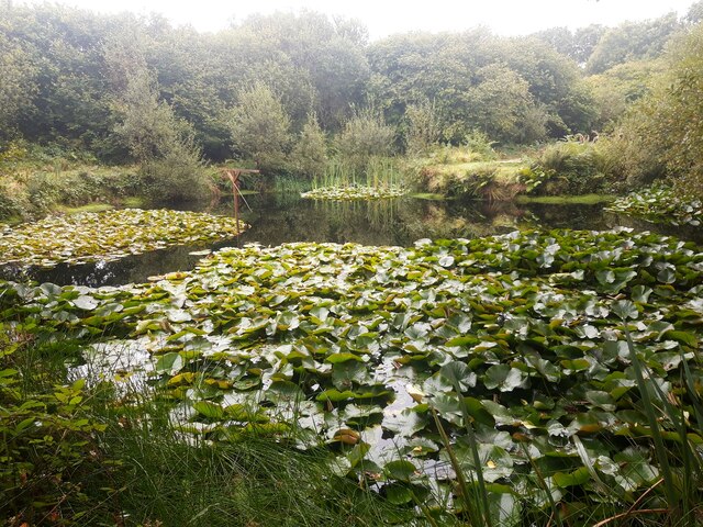
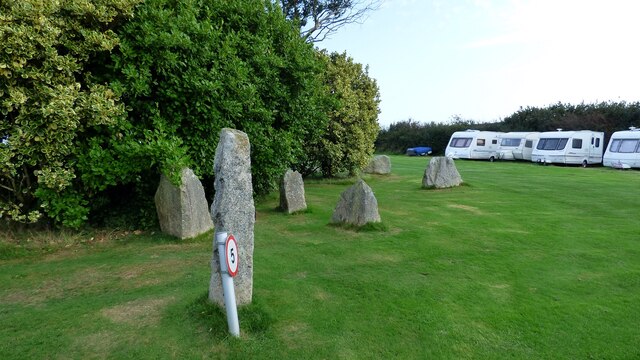
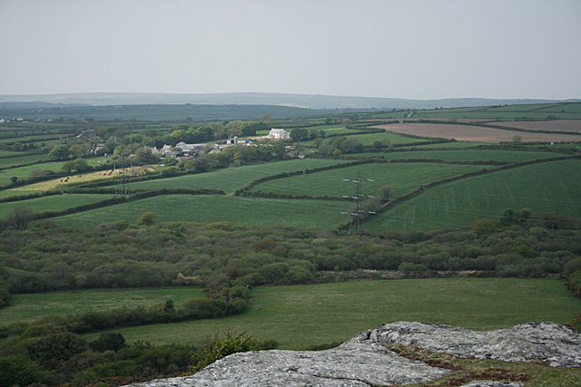
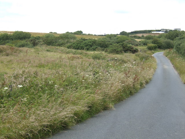
The landscape of Trescoll Moor is characterized by rolling hills, rocky outcrops, and patches of heather and gorse. The moorland is predominantly made up of granite, which gives it a distinctively rugged appearance. The area is also dotted with ancient stone circles, evidence of the rich history that dates back thousands of years.
Wildlife is abundant on Trescoll Moor, with various species of birds, insects, and small mammals calling this area home. Visitors may encounter the iconic Dartmoor ponies, which graze freely on the moorland, contributing to its conservation and management.
The moorland offers numerous walking trails, providing opportunities for visitors to explore and immerse themselves in the natural beauty of the area. The most popular route is the Trescoll Moor Circular Walk, which takes hikers through heather-covered hills and offers panoramic views of the surrounding countryside and coastline.
Trescoll Moor is also a haven for outdoor enthusiasts, with opportunities for activities such as birdwatching, photography, and picnicking. The wide open spaces and tranquility of the area make it an ideal spot for those seeking a peaceful escape from the hustle and bustle of everyday life.
Overall, Trescoll Moor is a captivating destination that showcases the raw beauty of Cornwall's countryside. Whether it's for a leisurely stroll or a chance to connect with nature, this moorland offers a unique and enriching experience for visitors of all ages.
If you have any feedback on the listing, please let us know in the comments section below.
Trescoll Moor Images
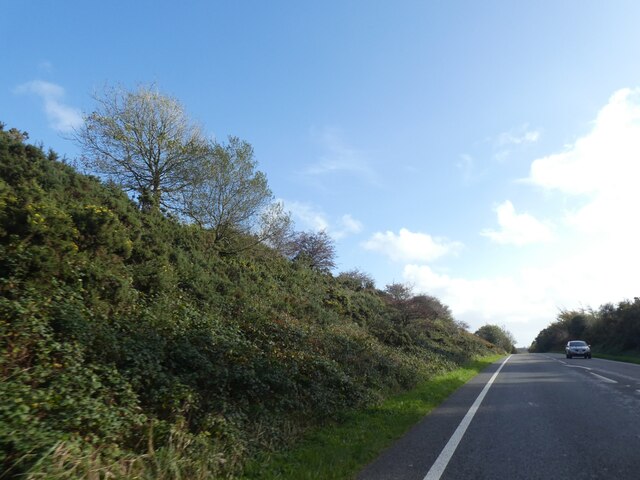
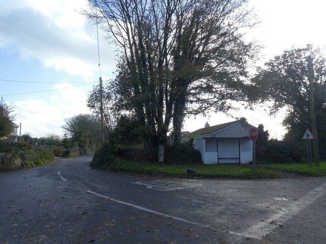
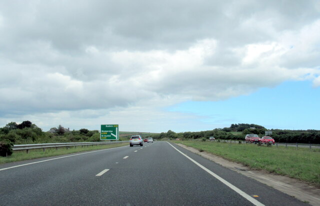
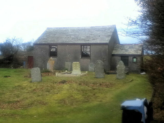
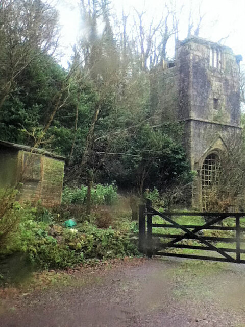
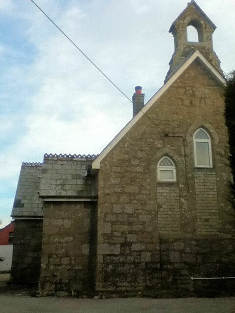
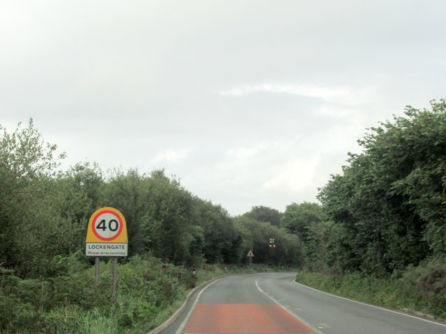
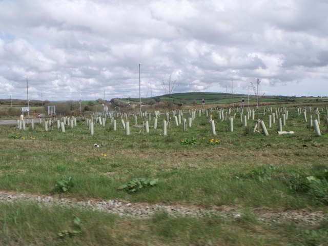
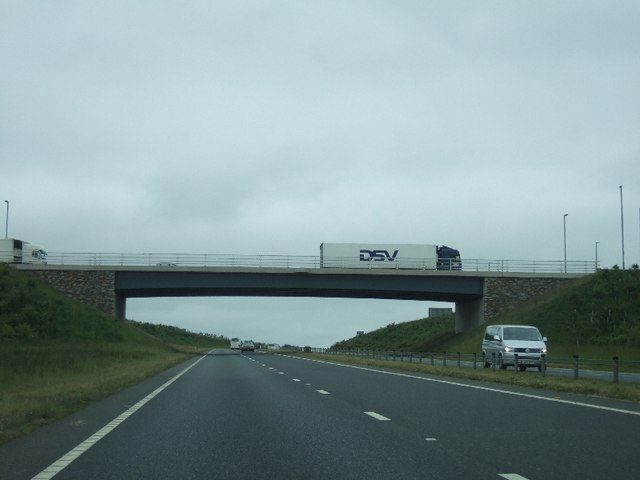
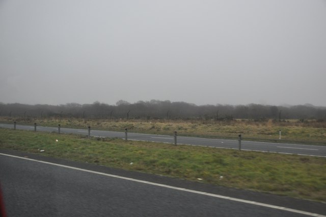
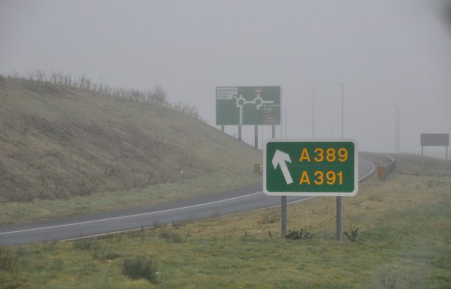
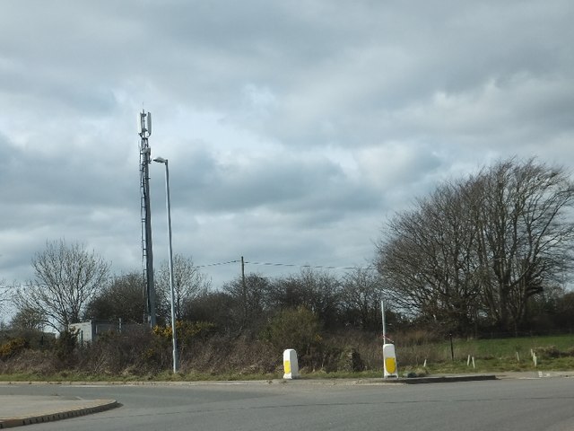
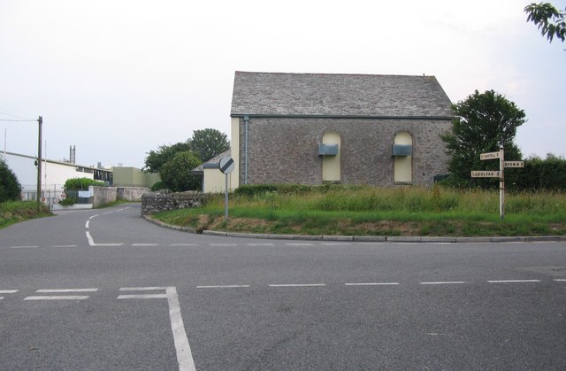
Images are sourced within 2km of 50.42245/-4.7679301 or Grid Reference SX0361. Thanks to Geograph Open Source API. All images are credited.
Trescoll Moor is located at Grid Ref: SX0361 (Lat: 50.42245, Lng: -4.7679301)
Unitary Authority: Cornwall
Police Authority: Devon and Cornwall
What 3 Words
///webcams.wink.selling. Near Bugle, Cornwall
Nearby Locations
Related Wikis

Lockengate
Lockengate is a hamlet in Cornwall, England, UK. It is two miles south of Lanivet on the A391 road. It is in the civil parish of Luxulyan There was once...
Mena, Cornwall
Mena is a hamlet in the parish of Lanivet in mid Cornwall, England. It should not be confused with Menna in the parish of Ladock. == References ==
Bodwen
Bodwen is a hamlet in the civil parish of Lanlivery in mid Cornwall, England, United Kingdom. It is situated just over one mile (2 km) north-northeast...

Lower Woon
Lower Woon is a hamlet in the civil parish of Luxulyan (where the 2011 census population was included) in Cornwall, England, UK. It is approximately 0...
Nearby Amenities
Located within 500m of 50.42245,-4.7679301Have you been to Trescoll Moor?
Leave your review of Trescoll Moor below (or comments, questions and feedback).