Garden-fach

Downs, Moorland in Pembrokeshire

Wales

Garden-fach

Track giving access to Henne Ganol Looking westward.
Track giving access to Henne Ganol Credit: Peter Wood

Garden-fach is a small rural area located in the county of Pembrokeshire, Wales. Situated in the western part of the county, Garden-fach is primarily known for its picturesque downs and moorland landscapes.

The downs of Garden-fach are characterized by their gently rolling hills and open grassy fields. These downs offer stunning panoramic views of the surrounding countryside, with lush greenery and scattered wildflowers dotting the landscape. The area is ideal for leisurely walks, picnics, and enjoying the tranquility of nature.

Adjacent to the downs, Garden-fach boasts vast stretches of moorland. Moorland is a type of open, uncultivated land characterized by its heather and grass cover, as well as scattered patches of marshes and boggy areas. The moorland in Garden-fach is home to a diverse range of flora and fauna, including various species of birds, mammals, and insects.

The area is a haven for outdoor enthusiasts, offering ample opportunities for activities such as hiking, birdwatching, and nature photography. The scenic beauty of Garden-fach attracts visitors throughout the year, as well as providing a peaceful and idyllic living environment for local residents.

Garden-fach is also known for its rich historical heritage, with several ancient landmarks and archaeological sites scattered across the area. These include burial mounds, standing stones, and remnants of ancient settlements, adding a sense of mystery and intrigue to the landscape.

In summary, Garden-fach in Pembrokeshire offers a captivating blend of downs and moorland, providing a stunning natural environment for visitors and residents to explore and enjoy.

If you have any feedback on the listing, please let us know in the comments section below.
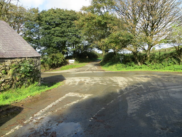
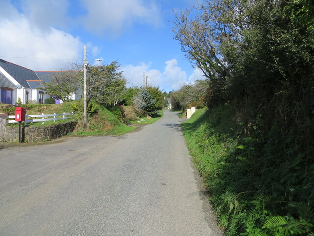
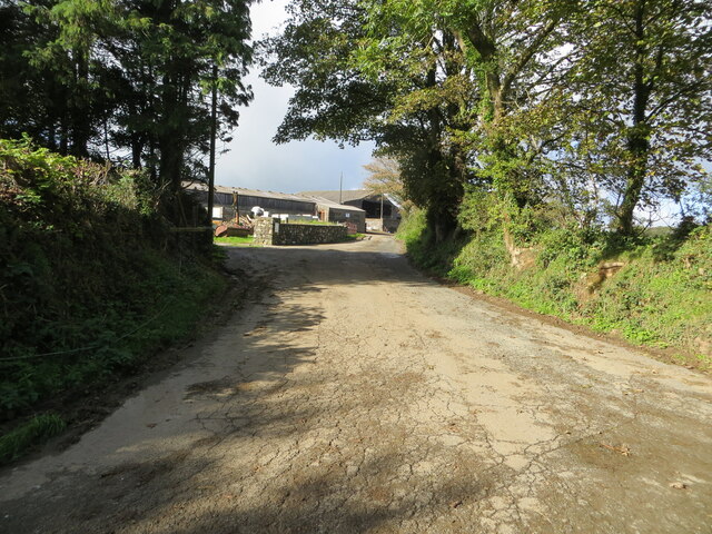
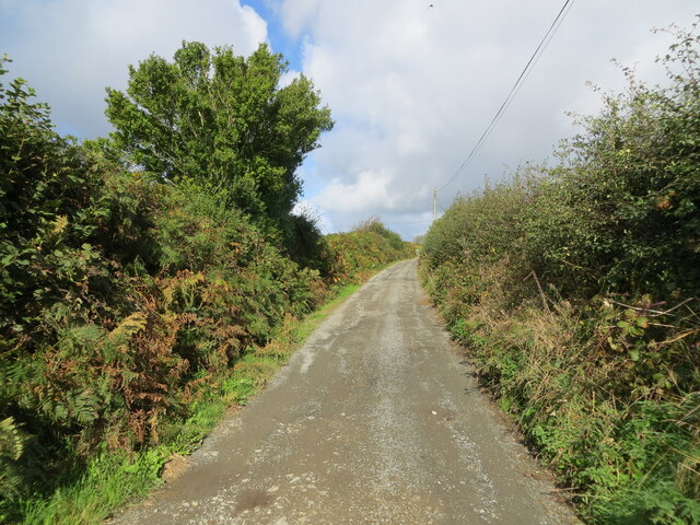
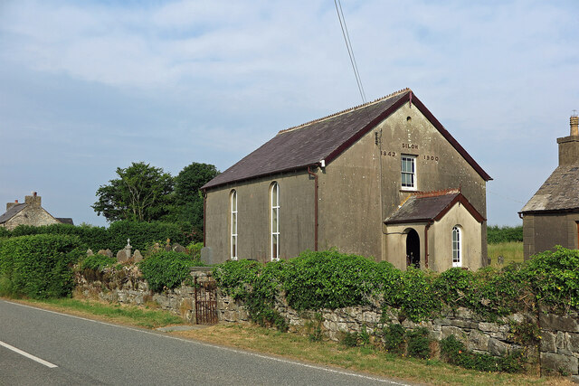
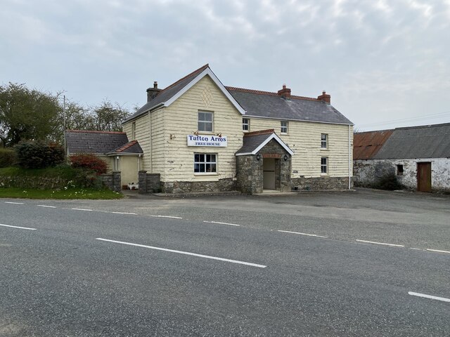
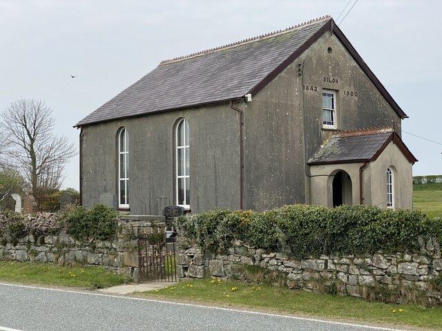
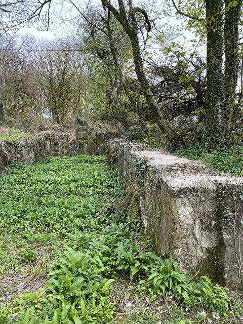
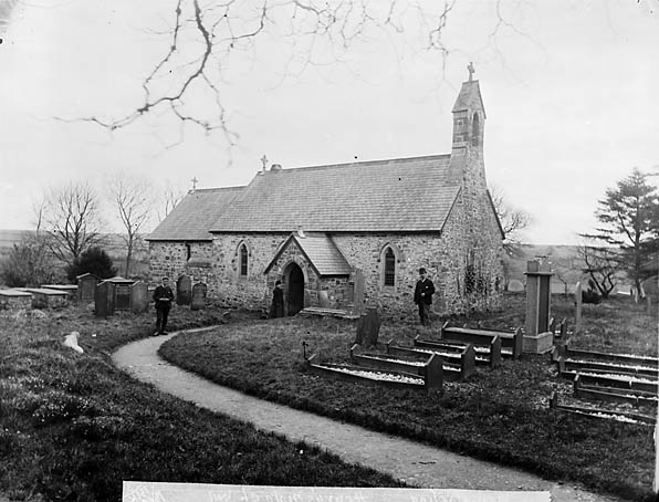
Garden-fach Images

Images are sourced within 2km of 51.921001/-4.8593677 or Grid Reference SN0328. Thanks to Geograph Open Source API. All images are credited.

Track giving access to Henne Ganol Looking westward.
Track giving access to Henne Ganol
Looking westward.
Track at Rhos-Fâch Looking eastward
Track at Rhos-Fâch
Looking eastward
The crossing of minor roads at Castlebythe Farm Looking north-westward.
The crossing of minor roads at Castlebythe Farm
Looking north-westward.
Earth banked and tree-lined minor road near Garden Looking eastward.
Earth banked and tree-lined minor road near Garden
Looking eastward.
Minor road in Tufton Looking north-westward.
Minor road in Tufton
Looking north-westward.
Minor road at Tymeini Farm, Henry's Moat Looking westward.
Minor road at Tymeini Farm, Henry's Moat
Looking westward.
Hedge enclosed rack and footpath to St Bernard's Well Looking north-westward.
Hedge enclosed rack and footpath to St Bernard's Well
Looking north-westward.
Siloh Congregational Chapel, Tufton The Welsh form is Capel Seilo. This served as the Congregational chapel for Henry's Moat.
Siloh Congregational Chapel, Tufton
The Welsh form is Capel Seilo. This served as the Congregational chapel for Henry's Moat.
Farmland near Woodstock There is a minor road cutting across and in the far distance is a VHF transmitter
Farmland near Woodstock
There is a minor road cutting across and in the far distance is a VHF transmitter
Junction Near Poll Tax Just outside Woodstock near the Preseli Hills
Junction Near Poll Tax
Just outside Woodstock near the Preseli Hills
The Landsker near Bigws, Ambleston The minor road that runs east-west across the picture is the "traditional" Landsker (the language boundary), as described by George Owen in the sixteenth century. By the end of the nineteenth century, the parish of Ambleston to the south had become almost exclusively Welsh-speaking, and this "re-cymricisation" may have been under way in George Owen's time. The road is actually the old "Roman" road towards St David's, and was the northern boundary of the hundred of Daugleddy, so it was more a de jure administrative boundary than a de facto cultural boundary. The real boundary has moved around, and was probably a good deal further north in the fourteenth century, when villages like Henry's Moat and New Moat were English plantations.
The Landsker near Bigws, Ambleston
The minor road that runs east-west across the picture is the "traditional" Landsker (the language boundary), as described by George Owen in the sixteenth century. By the end of the nineteenth century, the parish of Ambleston to the south had become almost exclusively Welsh-speaking, and this "re-cymricisation" may have been under way in George Owen's time. The road is actually the old "Roman" road towards St David's, and was the northern boundary of the hundred of Daugleddy, so it was more a de jure administrative boundary than a de facto cultural boundary. The real boundary has moved around, and was probably a good deal further north in the fourteenth century, when villages like Henry's Moat and New Moat were English plantations.
Ordnance Survey Rivet This OS rivet can be found on the slate footbridge. It marks a point 110.033m above mean sea level.
Ordnance Survey Rivet
This OS rivet can be found on the slate footbridge. It marks a point 110.033m above mean sea level.
Ordnance Survey Cut Mark This OS cut mark can be found on the west face of St Michael's Church. It marks a point 206.337m above mean sea level.
Ordnance Survey Cut Mark
This OS cut mark can be found on the west face of St Michael's Church. It marks a point 206.337m above mean sea level.
The Tufton Arms
The Tufton Arms
Fence and hedge Boundary fence and hedge alongside B4329
Fence and hedge
Boundary fence and hedge alongside B4329
Tufton Arms Public house in the village of Tufton.
Tufton Arms
Public house in the village of Tufton.
Siloh Chapel Siloh Chapel is a Calvinistic Methodist chapel in the Union of Welsh Independent churches.  It was founded in 1842, registered to solemnise marriages in 1844, and restored in 1900.
Siloh Chapel
Siloh Chapel is a Calvinistic Methodist chapel in the Union of Welsh Independent churches. It was founded in 1842, registered to solemnise marriages in 1844, and restored in 1900.
A ruined church The ruined church of St Michael, Castlebythe.

See also <a href="https://www.geograph.org.uk/photo/651373">SN0228 : Casfuwch/Castlebythe church</a> taken by Ceridwen 13 years ago.  The ground inside the church has been cleared of young trees and a mass of wild garlic will shortly be in flower.
A ruined church
The ruined church of St Michael, Castlebythe. See also SN0228 : Casfuwch/Castlebythe church taken by Ceridwen 13 years ago. The ground inside the church has been cleared of young trees and a mass of wild garlic will shortly be in flower.
Show me another place!

Garden-fach is located at Grid Ref: SN0328 (Lat: 51.921001, Lng: -4.8593677)

Unitary Authority: Pembrokeshire

Police Authority: Dyfed Powys

What 3 Words

///eyebrows.back.universes. Near Ambleston, Pembrokeshire

Nearby Locations

Garden-fach

Related Wikis

Tufton, Pembrokeshire

Tufton is a crossroads hamlet in the parish of Henry's Moat in Pembrokeshire, Wales, on the B4329, a road between Eglwyswrw and Haverfordwest across the...

Henry's Moat

Henry's Moat is a hamlet and parish in Pembrokeshire, Wales, in the community of Puncheston. It is 7 miles (11 km) southeast of Fishguard and 9 miles...

Castlebythe

Castlebythe (Welsh: Cas-fuwch) is a village and parish in Pembrokeshire, Wales, on the southern slopes of the Preseli Hills, 10 km south-east of Fishguard...

Morvil

Morvil or Morfil is a remote upland parish on the southern slopes of the Preseli Mountains in north Pembrokeshire, Wales. Fishguard is 6 miles (10 km)...

Nearby Amenities

Located within 500m of 51.921001,-4.8593677
Place: farm
Lat/Long: 51.9231417/-4.8606214
The data included in this document is from www.openstreetmap.org. The data is made available under ODbL.

Have you been to Garden-fach?

Leave your review of Garden-fach below (or comments, questions and feedback).