Trescoll
Settlement in Cornwall
England
Trescoll
Trescoll is a small coastal village located in the county of Cornwall, England. Situated on the southern coast of the county, it is nestled between the towns of Truro and Falmouth. Trescoll is known for its picturesque setting, with rolling hills and stunning views of the ocean.
The village itself is quaint and charming, with a population of around 500 residents. The local community is tight-knit and welcoming, making Trescoll a popular destination for those looking for a peaceful and friendly atmosphere. The village is mainly residential, with a few small businesses and amenities catering to the needs of the local population.
Trescoll benefits from its proximity to the coastline, with several beautiful beaches and coves nearby. The coastline is dotted with dramatic cliffs, providing breathtaking views and opportunities for outdoor activities such as hiking and birdwatching. The village is also a popular spot for fishing enthusiasts, with plenty of opportunities for both sea and freshwater fishing.
In terms of amenities, Trescoll has a primary school, a village hall, and a small local shop for everyday needs. For more extensive shopping and entertainment options, residents often rely on the nearby towns of Truro and Falmouth. The village is well-connected to these towns and other surrounding areas through a reliable public transportation network.
Overall, Trescoll offers a peaceful and idyllic coastal living experience, with its stunning natural beauty and close-knit community. It is a hidden gem for those seeking a tranquil escape in the heart of Cornwall.
If you have any feedback on the listing, please let us know in the comments section below.
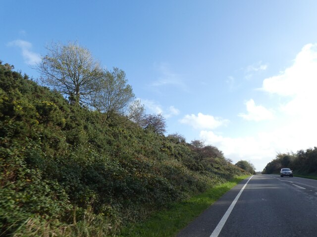
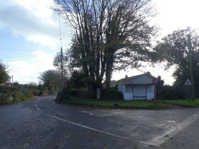
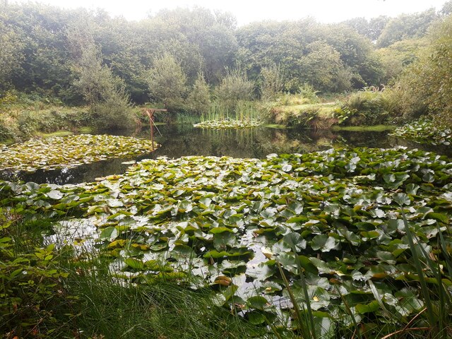
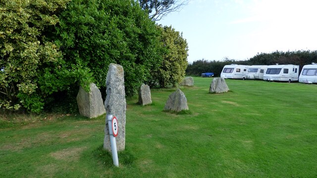
Trescoll Images
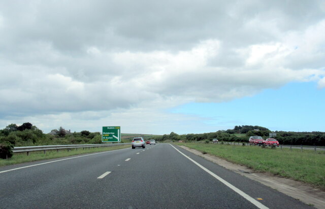
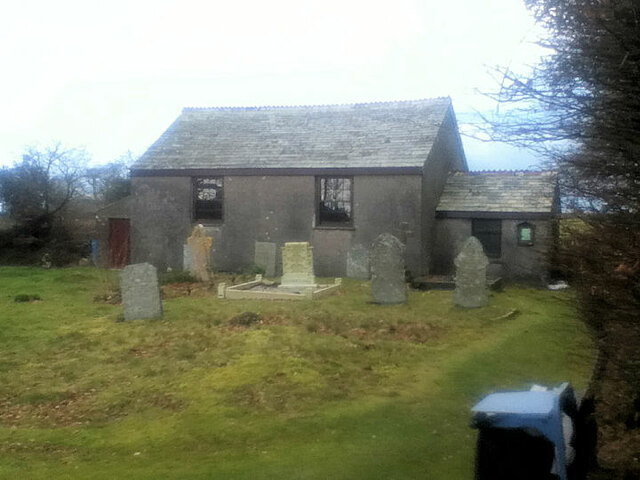
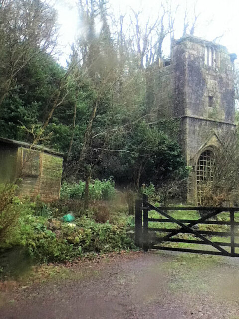
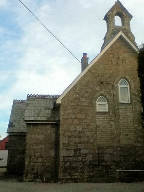
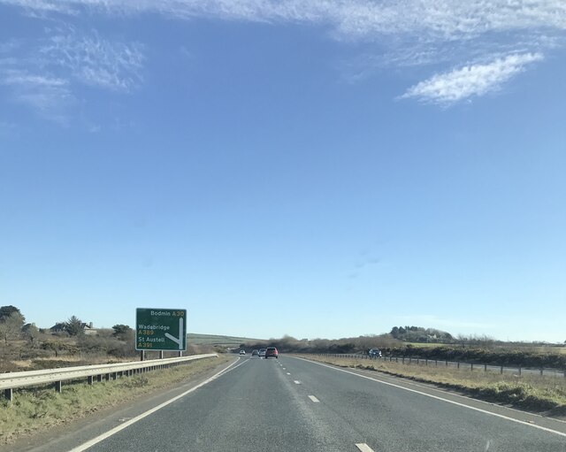
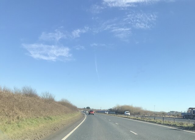
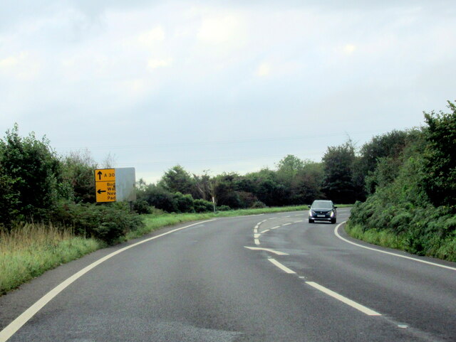
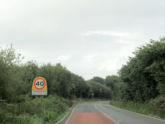
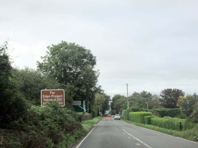
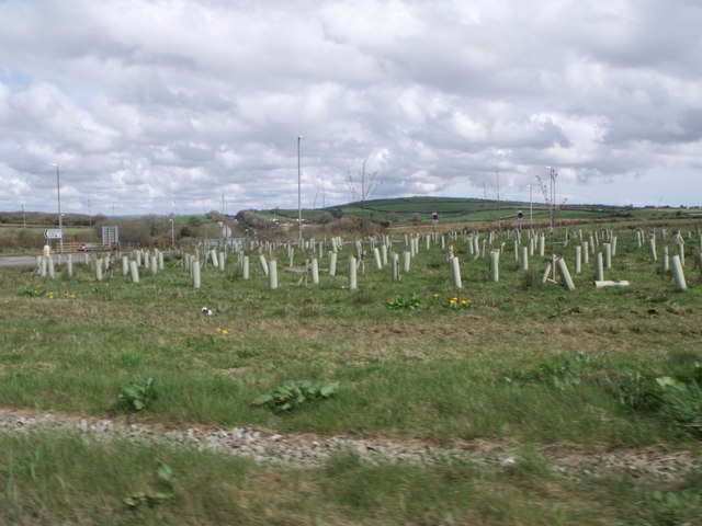
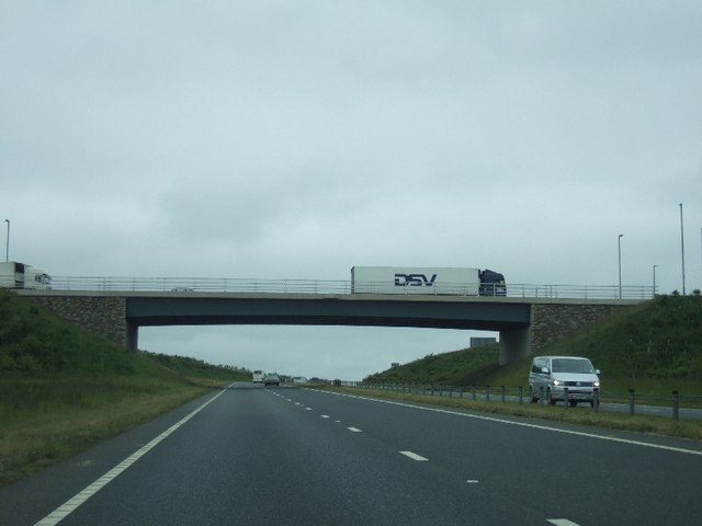
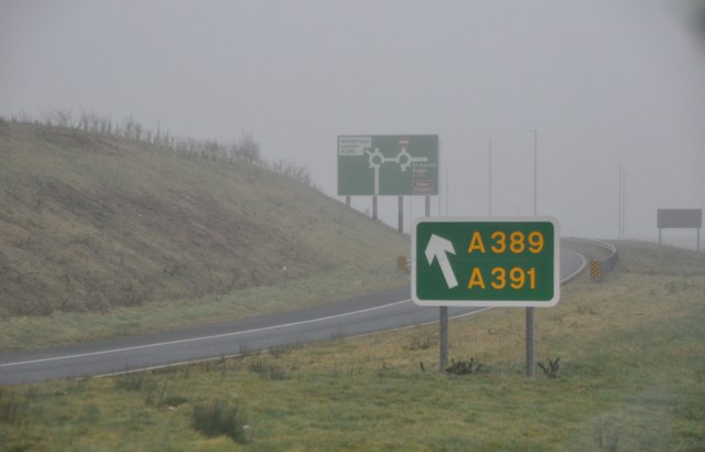
Images are sourced within 2km of 50.423389/-4.771852 or Grid Reference SX0361. Thanks to Geograph Open Source API. All images are credited.
Trescoll is located at Grid Ref: SX0361 (Lat: 50.423389, Lng: -4.771852)
Unitary Authority: Cornwall
Police Authority: Devon and Cornwall
What 3 Words
///surprised.rocky.necklace. Near Bugle, Cornwall
Nearby Locations
Related Wikis

Lockengate
Lockengate is a hamlet in Cornwall, England, UK. It is two miles south of Lanivet on the A391 road. It is in the civil parish of Luxulyan There was once...
Mena, Cornwall
Mena is a hamlet in the parish of Lanivet in mid Cornwall, England. It should not be confused with Menna in the parish of Ladock. == References ==
Bodwen
Bodwen is a hamlet in the civil parish of Lanlivery in mid Cornwall, England, United Kingdom. It is situated just over one mile (2 km) north-northeast...

Lower Woon
Lower Woon is a hamlet in the civil parish of Luxulyan (where the 2011 census population was included) in Cornwall, England, UK. It is approximately 0...
Nearby Amenities
Located within 500m of 50.423389,-4.771852Have you been to Trescoll?
Leave your review of Trescoll below (or comments, questions and feedback).