Lockengate
Settlement in Cornwall
England
Lockengate
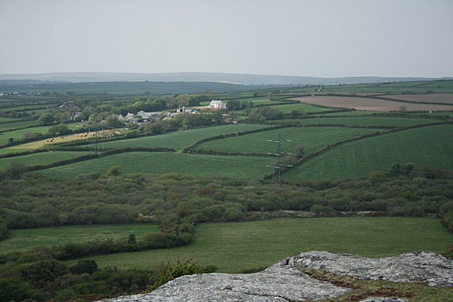
Lockengate is a small village located in the county of Cornwall, in southwestern England. Situated near the Helford River, the village is nestled within the beautiful landscape of the Lizard Peninsula, known for its stunning coastline and picturesque countryside. Lockengate is part of the civil parish of Mawnan, and it falls under the jurisdiction of the Cornwall Council.
This charming village is characterized by its traditional Cornish architecture, with its stone cottages and thatched roofs adding to its quaint and peaceful atmosphere. The village is predominantly residential, with a close-knit community that takes pride in its natural surroundings and rich history.
Lockengate offers residents and visitors alike a range of amenities and attractions to enjoy. The village is home to a local pub, where visitors can savor traditional Cornish cuisine and sample locally brewed ales. Additionally, there are several scenic walking trails that lead through the surrounding countryside, offering breathtaking views of the coast and the opportunity to spot local wildlife.
The village is conveniently located near the bustling town of Falmouth, providing easy access to a wider range of amenities, including shops, restaurants, and cultural attractions. For those seeking outdoor activities, the nearby Helford River offers opportunities for boating, fishing, and water sports.
Overall, Lockengate is a hidden gem in Cornwall, offering a peaceful and idyllic setting for those looking to escape the hustle and bustle of city life and immerse themselves in the natural beauty of the region.
If you have any feedback on the listing, please let us know in the comments section below.
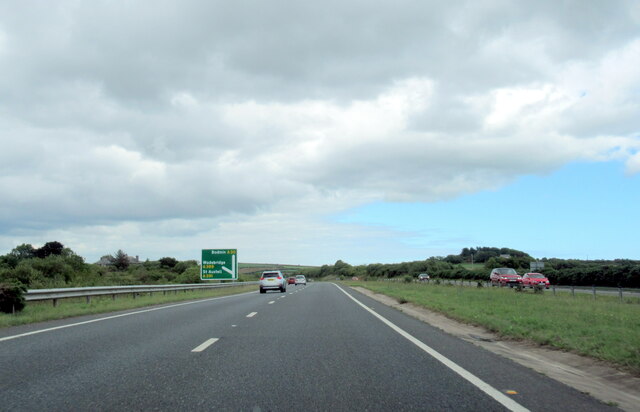
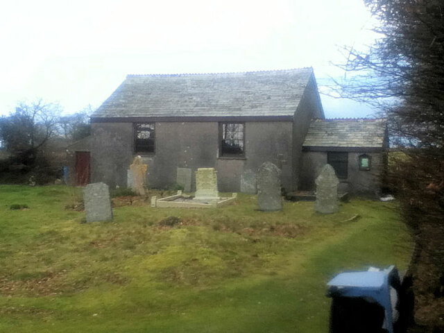
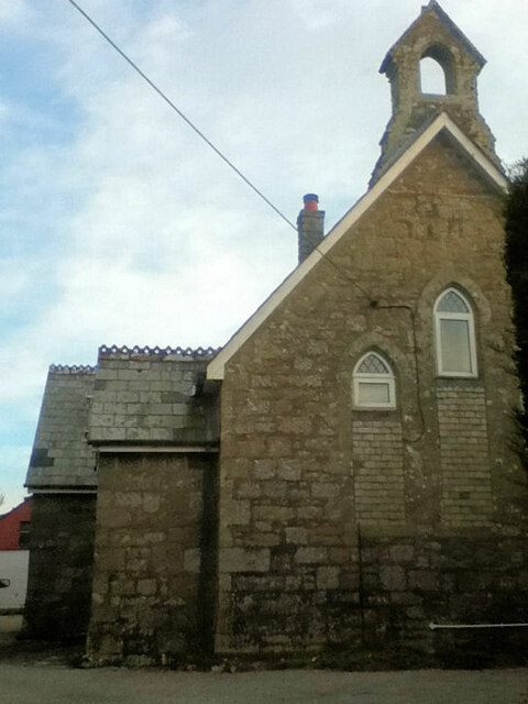
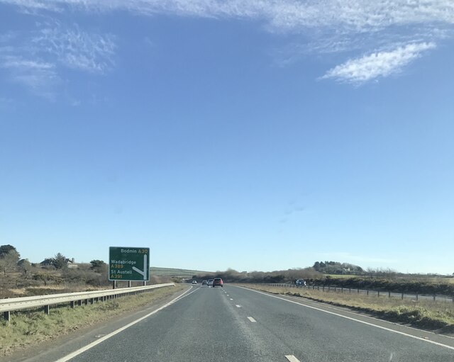
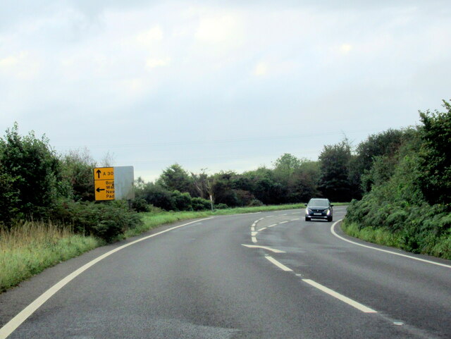
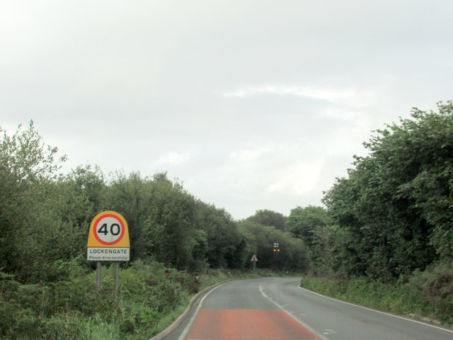
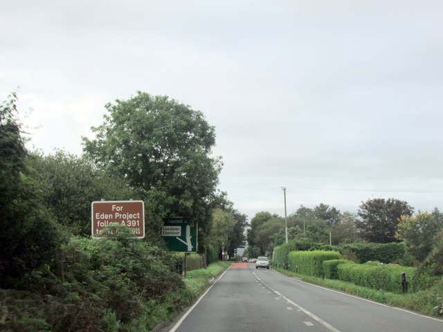
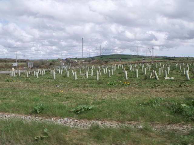
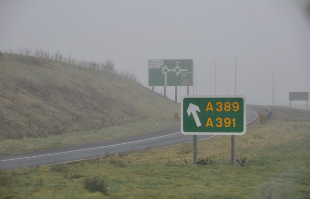
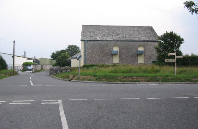
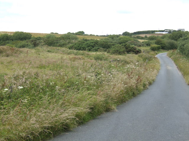
Lockengate Images
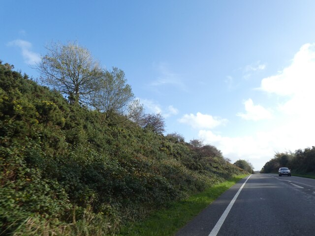
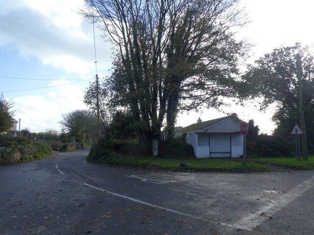
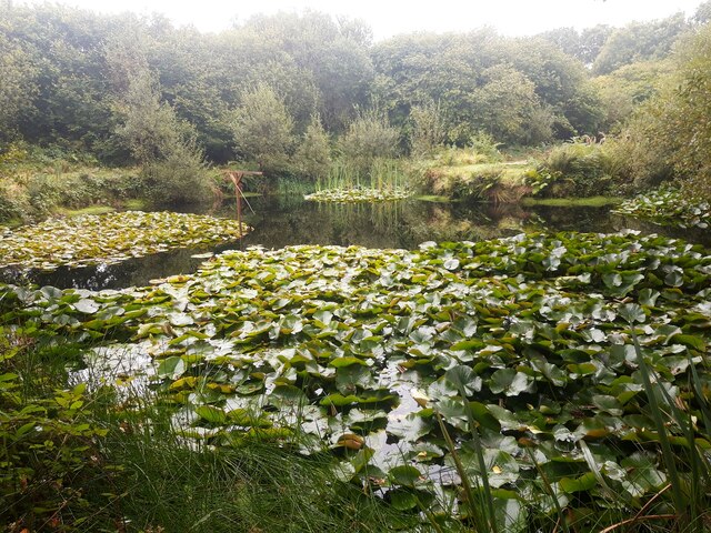
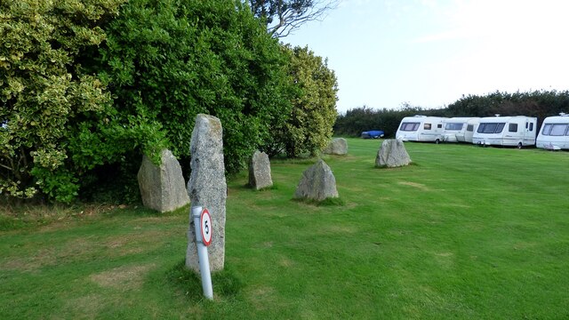
Images are sourced within 2km of 50.419248/-4.768231 or Grid Reference SX0361. Thanks to Geograph Open Source API. All images are credited.


Lockengate is located at Grid Ref: SX0361 (Lat: 50.419248, Lng: -4.768231)
Unitary Authority: Cornwall
Police Authority: Devon and Cornwall
What 3 Words
///isolating.resist.bandwagon. Near Bugle, Cornwall
Nearby Locations
Related Wikis

Lockengate
Lockengate is a hamlet in Cornwall, England, UK. It is two miles south of Lanivet on the A391 road. It is in the civil parish of Luxulyan There was once...
Bodwen
Bodwen is a hamlet in the civil parish of Lanlivery in mid Cornwall, England, United Kingdom. It is situated just over one mile (2 km) north-northeast...
Mena, Cornwall
Mena is a hamlet in the parish of Lanivet in mid Cornwall, England. It should not be confused with Menna in the parish of Ladock. == References ==

Lower Woon
Lower Woon is a hamlet in the civil parish of Luxulyan (where the 2011 census population was included) in Cornwall, England, UK. It is approximately 0...
Nearby Amenities
Located within 500m of 50.419248,-4.768231Have you been to Lockengate?
Leave your review of Lockengate below (or comments, questions and feedback).