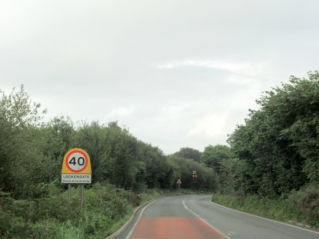
Lockengate Moor
Downs, Moorland in Cornwall
England
Lockengate Moor
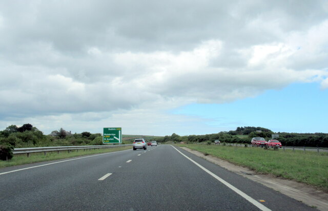
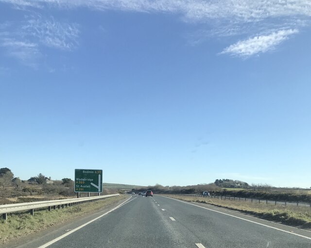
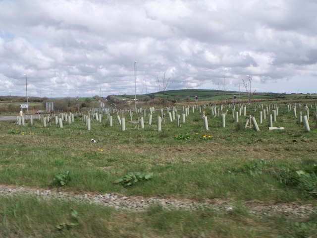
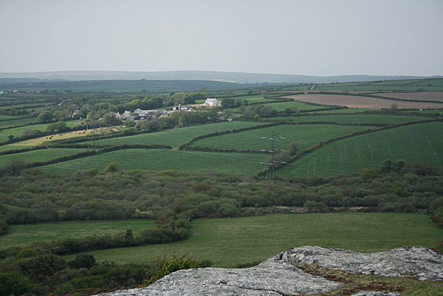
Lockengate Moor is a picturesque area located in Cornwall, England. Situated on the Downs, it is renowned for its stunning moorland landscape and breathtaking views. Spanning an area of approximately 500 acres, Lockengate Moor is a haven for nature enthusiasts and outdoor lovers.
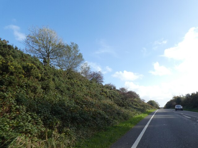
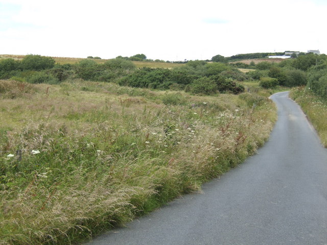
The moorland is characterized by its rolling hills, heather-covered expanses, and scattered granite outcrops, creating a diverse and visually striking environment. The landscape changes throughout the seasons, with vibrant purple hues dominating the moor during the blooming of heather in the summer months.
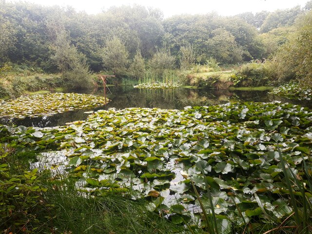
The area is home to a rich variety of flora and fauna, including rare species of birds, such as the Dartford warbler and the stonechat. Visitors can often spot small mammals like rabbits and foxes, as well as reptiles like adders and slow worms.
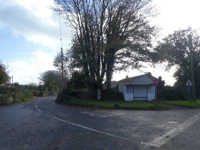
Lockengate Moor offers numerous walking and hiking trails that cater to all levels of fitness and experience. These trails provide an opportunity to explore the vast moorland, offering panoramic views of the surrounding countryside and coastline. The area is also popular amongst photographers, who are drawn to the moor's natural beauty and unique lighting conditions.
For those seeking a tranquil escape from the hustle and bustle of everyday life, Lockengate Moor provides a peaceful retreat. Whether it's a leisurely stroll, birdwatching, or simply immersing oneself in the serenity of nature, this idyllic moorland is a must-visit destination for anyone seeking a connection with the great outdoors.
If you have any feedback on the listing, please let us know in the comments section below.
Lockengate Moor Images
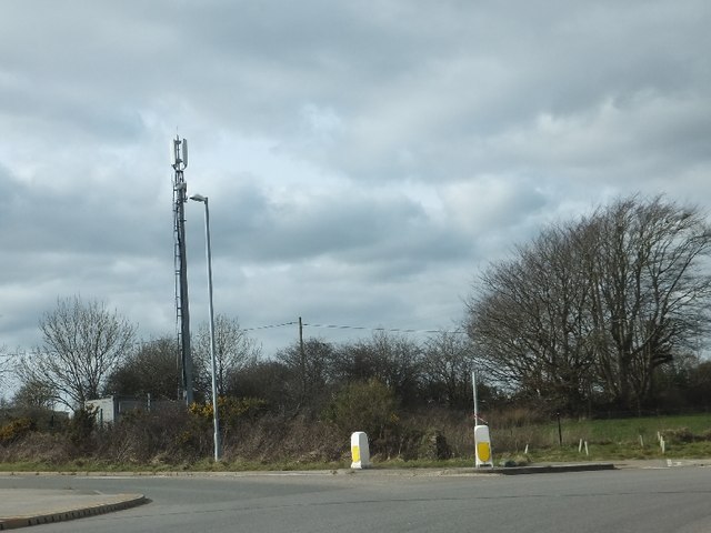
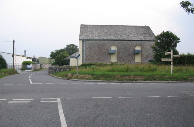
Images are sourced within 2km of 50.42273/-4.7644968 or Grid Reference SX0361. Thanks to Geograph Open Source API. All images are credited.

Lockengate Moor is located at Grid Ref: SX0361 (Lat: 50.42273, Lng: -4.7644968)
Unitary Authority: Cornwall
Police Authority: Devon and Cornwall
What 3 Words
///protest.inhales.originate. Near Bugle, Cornwall
Nearby Locations
Related Wikis

Lockengate
Lockengate is a hamlet in Cornwall, England, UK. It is two miles south of Lanivet on the A391 road. It is in the civil parish of Luxulyan There was once...
Mena, Cornwall
Mena is a hamlet in the parish of Lanivet in mid Cornwall, England. It should not be confused with Menna in the parish of Ladock. == References ==

Lower Woon
Lower Woon is a hamlet in the civil parish of Luxulyan (where the 2011 census population was included) in Cornwall, England, UK. It is approximately 0...
Bodwen
Bodwen is a hamlet in the civil parish of Lanlivery in mid Cornwall, England, United Kingdom. It is situated just over one mile (2 km) north-northeast...
Nearby Amenities
Located within 500m of 50.42273,-4.7644968Have you been to Lockengate Moor?
Leave your review of Lockengate Moor below (or comments, questions and feedback).