Trelyon Downs

Downs, Moorland in Cornwall

England

Trelyon Downs

St. Ives Harbour A view over St. Ives Harbour, taken looking south from Smeaton's Pier.
St. Ives Harbour Credit: Kevin Pearson

The requested URL returned error: 429 Too Many Requests

If you have any feedback on the listing, please let us know in the comments section below.

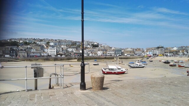
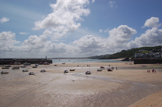
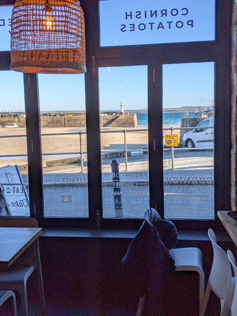
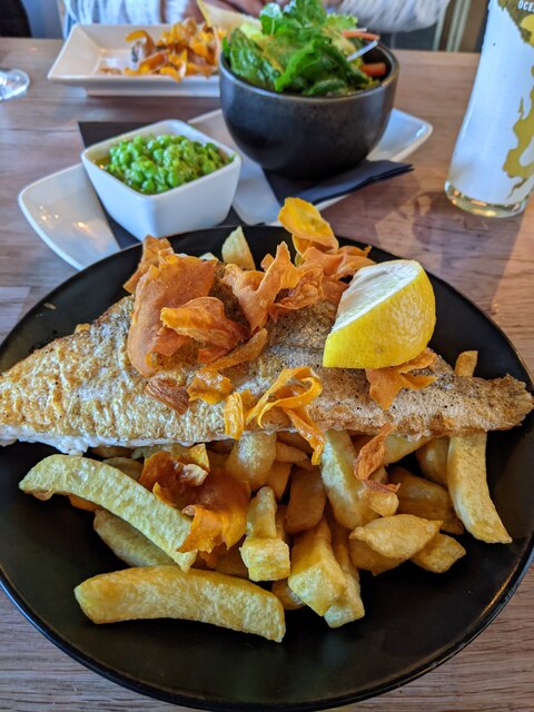
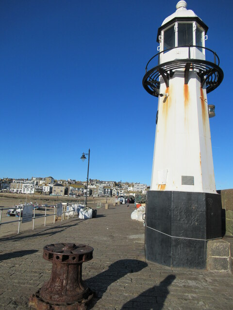
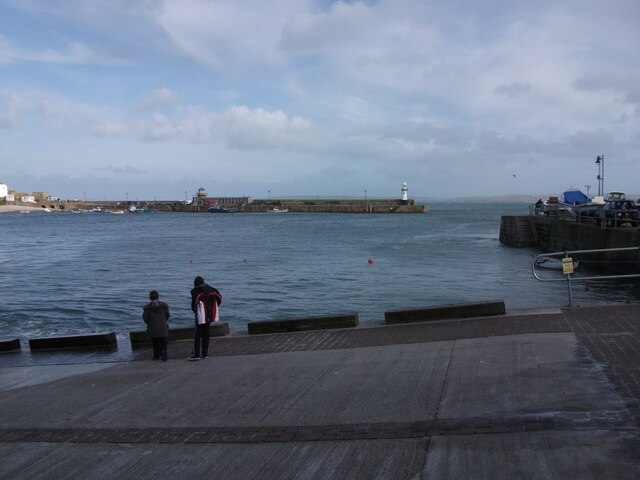
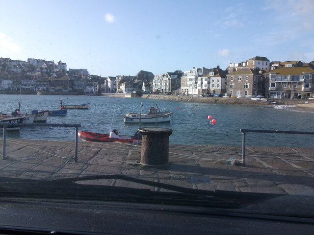
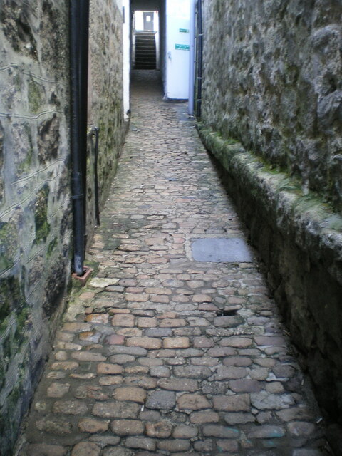
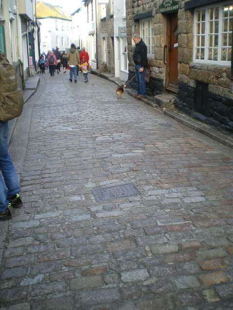
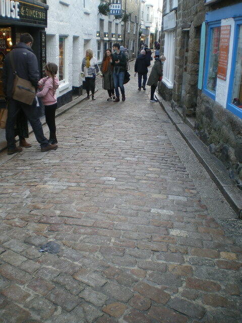
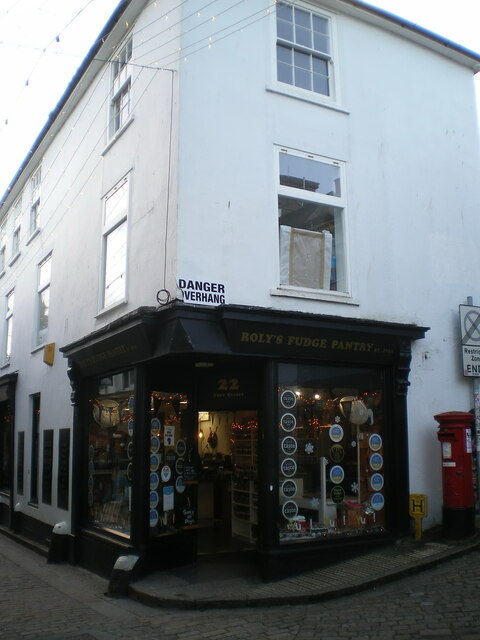
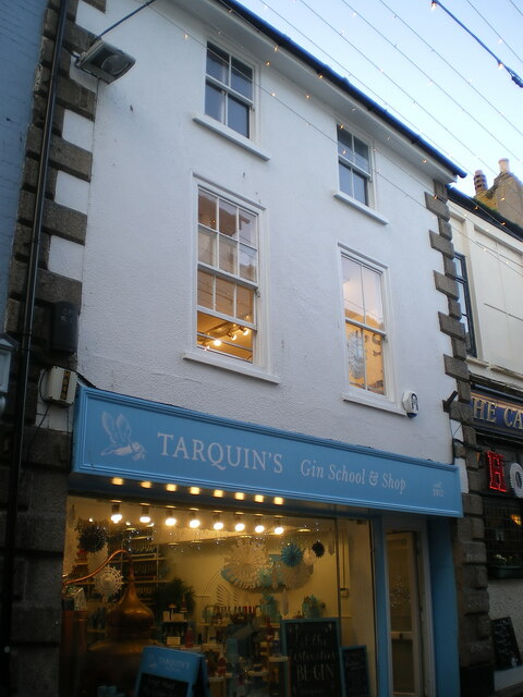
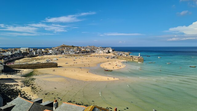
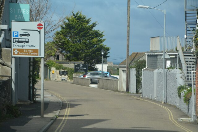
Trelyon Downs Images

Images are sourced within 2km of 50.196314/-5.4784858 or Grid Reference SW5138. Thanks to Geograph Open Source API. All images are credited.

St. Ives Harbour A view over St. Ives Harbour, taken looking south from Smeaton's Pier.
St. Ives Harbour
A view over St. Ives Harbour, taken looking south from Smeaton's Pier.
St Ives beach at low tide Many small boats stranded by the receding tide in St Ives Harbour.
St Ives beach at low tide
Many small boats stranded by the receding tide in St Ives Harbour.
St Ives harbour from the Harbour Fish & Chips Restaurant
Fish & Chip lunches, Harbour Fish & Chips Restaurant, St Ives
Smeaton's Pier, St Ives
Slipway by RNLI Station in St. Ives The slipway by the lifeboat station in St. Ives, looking over the harbour to Smeatons Pier.
Slipway by RNLI Station in St. Ives
The slipway by the lifeboat station in St. Ives, looking over the harbour to Smeatons Pier.
View over St. Ives Harbour A view of St. Ives Harbour, looking back from Smeatons Pier.
View over St. Ives Harbour
A view of St. Ives Harbour, looking back from Smeatons Pier.
Cobbled street surface in Custom House Passage Unlike some of the other 18th century street surfaces around St Ives such as <a href="https://www.geograph.org.uk/photo/4928337">SW5140 : Fore Street, St Ives</a> <a href="https://www.geograph.org.uk/photo/3135725">SW5140 : Bailey's Lane, St. Ives</a> and <a href="https://www.geograph.org.uk/photo/7057826">SW5140 : Cobbled street surface on Mount Zion</a>, Custom House Passage seems to have avoided being listed. That must be an oversight, as these stones look even less disturbed and relaid than many on the more heavily trafficked roads.
Cobbled street surface in Custom House Passage
Unlike some of the other 18th century street surfaces around St Ives such as SW5140 : Fore Street, St Ives SW5140 : Bailey's Lane, St. Ives and SW5140 : Cobbled street surface on Mount Zion, Custom House Passage seems to have avoided being listed. That must be an oversight, as these stones look even less disturbed and relaid than many on the more heavily trafficked roads.
Cobbled street surface on Fore Street, looking north Part of the extensive granite cobbled street surface of Fore Street, which dates back probably to the 18th century, and was Grade II listed <span class="nowrap"><a title="https://britishlistedbuildings.co.uk/101143372-the-street-surface-st-ives#.YeRDX_7P3IU" rel="nofollow ugc noopener" href="https://britishlistedbuildings.co.uk/101143372-the-street-surface-st-ives#.YeRDX_7P3IU">Link</a><img style="margin-left:2px;" alt="External link" title="External link - shift click to open in new window" src="https://s1.geograph.org.uk/img/external.png" width="10" height="10"/></span> & <span class="nowrap"><a title="https://historicengland.org.uk/listing/the-list/list-entry/1143372" rel="nofollow ugc noopener" href="https://historicengland.org.uk/listing/the-list/list-entry/1143372">Link</a><img style="margin-left:2px;" alt="External link" title="External link - shift click to open in new window" src="https://s1.geograph.org.uk/img/external.png" width="10" height="10"/></span> in 1972.
Cobbled street surface on Fore Street, looking north
Part of the extensive granite cobbled street surface of Fore Street, which dates back probably to the 18th century, and was Grade II listed LinkExternal link & LinkExternal link in 1972.
Cobbled street surface on Fore Street, looking south Part of the extensive granite cobbled street surface of Fore Street, which dates back probably to the 18th century, and was Grade II listed <span class="nowrap"><a title="https://britishlistedbuildings.co.uk/101143372-the-street-surface-st-ives#.YeRDX_7P3IU" rel="nofollow ugc noopener" href="https://britishlistedbuildings.co.uk/101143372-the-street-surface-st-ives#.YeRDX_7P3IU">Link</a><img style="margin-left:2px;" alt="External link" title="External link - shift click to open in new window" src="https://s1.geograph.org.uk/img/external.png" width="10" height="10"/></span> & <span class="nowrap"><a title="https://historicengland.org.uk/listing/the-list/list-entry/1143372" rel="nofollow ugc noopener" href="https://historicengland.org.uk/listing/the-list/list-entry/1143372">Link</a><img style="margin-left:2px;" alt="External link" title="External link - shift click to open in new window" src="https://s1.geograph.org.uk/img/external.png" width="10" height="10"/></span> in 1972.
Cobbled street surface on Fore Street, looking south
Part of the extensive granite cobbled street surface of Fore Street, which dates back probably to the 18th century, and was Grade II listed LinkExternal link & LinkExternal link in 1972.
22 Fore Street, St Ives 22 Fore Street dates from the early 19th century, and was Grade II listed <span class="nowrap"><a title="https://britishlistedbuildings.co.uk/101327761-22-fore-street-st-ives#.YeRk-_7P3IU" rel="nofollow ugc noopener" href="https://britishlistedbuildings.co.uk/101327761-22-fore-street-st-ives#.YeRk-_7P3IU">Link</a><img style="margin-left:2px;" alt="External link" title="External link - shift click to open in new window" src="https://s1.geograph.org.uk/img/external.png" width="10" height="10"/></span> & <span class="nowrap"><a title="https://historicengland.org.uk/listing/the-list/list-entry/1327761" rel="nofollow ugc noopener" href="https://historicengland.org.uk/listing/the-list/list-entry/1327761">Link</a><img style="margin-left:2px;" alt="External link" title="External link - shift click to open in new window" src="https://s1.geograph.org.uk/img/external.png" width="10" height="10"/></span> in 1972.
22 Fore Street, St Ives
22 Fore Street dates from the early 19th century, and was Grade II listed LinkExternal link & LinkExternal link in 1972.
14 Fore Street, St Ives The main fabric of the building dates from the early 19th century, although the shop front is more recent; it was Grade II listed <span class="nowrap"><a title="https://britishlistedbuildings.co.uk/101312633-14-fore-street-st-ives#.YeRmWv7P3IU" rel="nofollow ugc noopener" href="https://britishlistedbuildings.co.uk/101312633-14-fore-street-st-ives#.YeRmWv7P3IU">Link</a><img style="margin-left:2px;" alt="External link" title="External link - shift click to open in new window" src="https://s1.geograph.org.uk/img/external.png" width="10" height="10"/></span> & <span class="nowrap"><a title="https://historicengland.org.uk/listing/the-list/list-entry/1312633" rel="nofollow ugc noopener" href="https://historicengland.org.uk/listing/the-list/list-entry/1312633">Link</a><img style="margin-left:2px;" alt="External link" title="External link - shift click to open in new window" src="https://s1.geograph.org.uk/img/external.png" width="10" height="10"/></span> in 1972.
14 Fore Street, St Ives
The main fabric of the building dates from the early 19th century, although the shop front is more recent; it was Grade II listed LinkExternal link & LinkExternal link in 1972.
OS benchmark - St Ives, bank on Tregenna Place An OS cutmark in the granite footing stone of the bank building to the SW side of Tregenna Place. Last levelled by the OS in 1952 at 14.69m above Ordnance Datum Newlyn.
OS benchmark - St Ives, bank on Tregenna Place
An OS cutmark in the granite footing stone of the bank building to the SW side of Tregenna Place. Last levelled by the OS in 1952 at 14.69m above Ordnance Datum Newlyn.
OS benchmark - St Ives, Sacred Heart church on Tregenna Hill An OS cutmark on a stone block by the front door of the Roman Catholic church on Tregenna Hill. It was last levelled by the OS in 1953 at 21.195m above Ordnance Datum Newlyn.
OS benchmark - St Ives, Sacred Heart church on Tregenna Hill
An OS cutmark on a stone block by the front door of the Roman Catholic church on Tregenna Hill. It was last levelled by the OS in 1953 at 21.195m above Ordnance Datum Newlyn.
Floral display at the Queen's Hotel
A table with a view at the Pedn Olva Hotel
Looking across St Ives harbour from The Malakov
St Ives : Albert Road A road in St Ives.
St Ives : Albert Road
A road in St Ives.
Show me another place!

Trelyon Downs is located at Grid Ref: SW5138 (Lat: 50.196314, Lng: -5.4784858)

Unitary Authority: Cornwall

Police Authority: Devon and Cornwall

What 3 Words

///adjuster.luck.crossword. Near St Ives, Cornwall

Related Wikis

St Ives School (academy)

St Ives School is a coeducational secondary school with academy status, located in St Ives, Cornwall, England. == Barbara Hepworth == Notable sculptor...

Carbis Bay Hotel

Carbis Bay Hotel is a hotel in Carbis Bay near St Ives, Cornwall. It is the most prominent building in Carbis Bay, overlooking the beach. == History... ==

47th G7 summit

The 47th G7 summit was held from 11 to 13 June 2021 in Cornwall, England, during the United Kingdom's tenure of the presidency of the Group of Seven (G7...

Tregenna Castle

Tregenna Castle, (Cornish: Kastel Tregenow, meaning "Kenow’s settlement") in St Ives, Cornwall, was built by Samuel Stephens in the 18th century and is...

Nearby Amenities

Located within 500m of 50.196314,-5.4784858
Bus Stop
Tesco
Bus: yes
Naptan AtcoCode: 0800COD40452
Naptan Bearing: W
Naptan CommonName: Tesco
Naptan NaptanCode: coragjpt
Naptan Street: Fuggoe Croft
Naptan Verified: no
Public Transport: platform
Source: naptan_import
Lat/Long: 50.1986572/-5.4737428
Bus Stop
Ann's Pantry
Bus: yes
Naptan AtcoCode: 0800COD40453
Naptan Bearing: NE
Naptan CommonName: Ann's Pantry
Naptan Crossing: St Ives Road
Naptan NaptanCode: coragjtd
Naptan Street: Valley Road
Naptan Verified: no
Public Transport: platform
Source: naptan_import
Lat/Long: 50.1969798/-5.4718602
Mini Roundabout
Lat/Long: 50.1989094/-5.4750669
Post Box
Collection Times: Mo-Fr 09:00; Sa 07:00
Operator: Royal Mail
Operator Wikidata: Q638098
Post Box Type: lamp
Ref: TR26 99D
Royal Cypher: EIIR
Royal Cypher Wikidata: Q33102113
Source: survey
Survey Date: 2015-10-01
Lat/Long: 50.1956321/-5.4727907
Colour: black
Disused Amenity: post_box
Note: Post box still in situ but sometime between 2015 and 2021 was taken out of use
Post Box Mounting: building
Post Box Type: wall
Ref: TR26 110D
Royal Cypher: EIIR
Source: survey
Survey Date: 2021-08-01
Lat/Long: 50.1983474/-5.4727786
Hiking: yes
Information: guidepost
Source: GPS survey
Tourism: information
Lat/Long: 50.1958771/-5.4816225
Hiking: yes
Information: guidepost
Source: GPS survey
Tourism: information
Lat/Long: 50.1961724/-5.4822394
Mini Roundabout
Lat/Long: 50.1985644/-5.4728451
Power: pole
Lat/Long: 50.1933907/-5.4775912
Power: pole
Lat/Long: 50.1930353/-5.4790342
Power: pole
Lat/Long: 50.1927382/-5.4805604
Generator Method: photovoltaic
Generator Output Electricity: small_installation
Generator Source: solar
Generator Type: solar_photovoltaic_panel
Location: roof
Power: generator
Source: bing
Lat/Long: 50.1980886/-5.4758357
Generator Method: photovoltaic
Generator Output Electricity: small_installation
Generator Source: solar
Generator Type: solar_photovoltaic_panel
Location: roof
Power: generator
Source: bing
Lat/Long: 50.1957706/-5.473246
Generator Method: photovoltaic
Generator Output Electricity: small_installation
Generator Source: solar
Generator Type: solar_photovoltaic_panel
Location: roof
Power: generator
Source: bing
Lat/Long: 50.1952006/-5.4746649
Generator Method: photovoltaic
Generator Output Electricity: small_installation
Generator Source: solar
Generator Type: solar_photovoltaic_panel
Location: roof
Power: generator
Source: bing
Lat/Long: 50.1944536/-5.4745951
Generator Method: photovoltaic
Generator Output Electricity: small_installation
Generator Source: solar
Generator Type: solar_photovoltaic_panel
Location: roof
Power: generator
Source: bing
Lat/Long: 50.1937994/-5.47268
Generator Method: photovoltaic
Generator Output Electricity: small_installation
Generator Source: solar
Generator Type: solar_photovoltaic_panel
Location: roof
Power: generator
Source: bing
Lat/Long: 50.1939007/-5.4734954
Leisure: picnic_table
Lat/Long: 50.1933993/-5.479517
Man Made: communications_tower
Operator: Vodafone
Lat/Long: 50.1974576/-5.4830374
Location Transition: yes
Power: pole
Lat/Long: 50.2000734/-5.4783663
Location Transition: yes
Power: pole
Lat/Long: 50.2001987/-5.4799756
Power: pole
Lat/Long: 50.1998244/-5.479002
Power: pole
Transformer: distribution
Lat/Long: 50.1995789/-5.4782523
Power: pole
Lat/Long: 50.1994244/-5.4779077
Power: pole
Lat/Long: 50.19896/-5.4774396
Power: pole
Lat/Long: 50.1984955/-5.4769783
Location Transition: yes
Power: pole
Lat/Long: 50.1980792/-5.4765263
Location Transition: yes
Power: pole
Lat/Long: 50.1942313/-5.4750431
Power: pole
Lat/Long: 50.1937685/-5.4759027
Carbis Water
Power: substation
Voltage: 11000
Lat/Long: 50.1958569/-5.474168
Venns Estate
Power: substation
Voltage: 11000
Lat/Long: 50.1966983/-5.4740949
Barrier: stile
Stile: stepover
Lat/Long: 50.1969376/-5.481325
Toilets
Access: customers
Lat/Long: 50.198211/-5.4736875
Barrier: stile
Stile: stepover
Lat/Long: 50.1980461/-5.482308
Entrance: yes
Lat/Long: 50.1982789/-5.4737373
Cafe
Tesco Superstore Costa Coffee
Brand: Costa Coffee
Cuisine: coffee_shop
Internet Access: wlan
Internet Access Fee: no
Operator: Premiere Coffee Ltd
Takeaway: yes
Lat/Long: 50.1983391/-5.473531
Hiking: yes
Information: guidepost
Tourism: information
Lat/Long: 50.1969393/-5.4813379
Information: board
Tourism: information
Lat/Long: 50.196894/-5.481565
Entrance: yes
Lat/Long: 50.1983548/-5.4736803
Charging Station
Lat/Long: 50.1982231/-5.4740042
The data included in this document is from www.openstreetmap.org. The data is made available under ODbL.

Have you been to Trelyon Downs?

Leave your review of Trelyon Downs below (or comments, questions and feedback).