Gearraidh Bhataleòis

Downs, Moorland in Ross-shire

Scotland

Gearraidh Bhataleòis

Dry lochan, Tom Gill, Isle of Lewis
Dry lochan, Tom Gill, Isle of Lewis Credit: Claire Pegrum

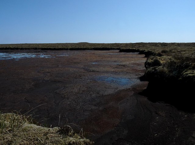
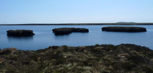
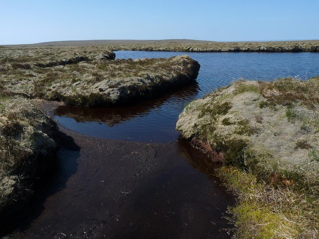
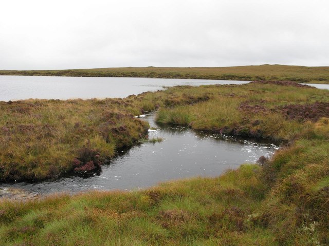
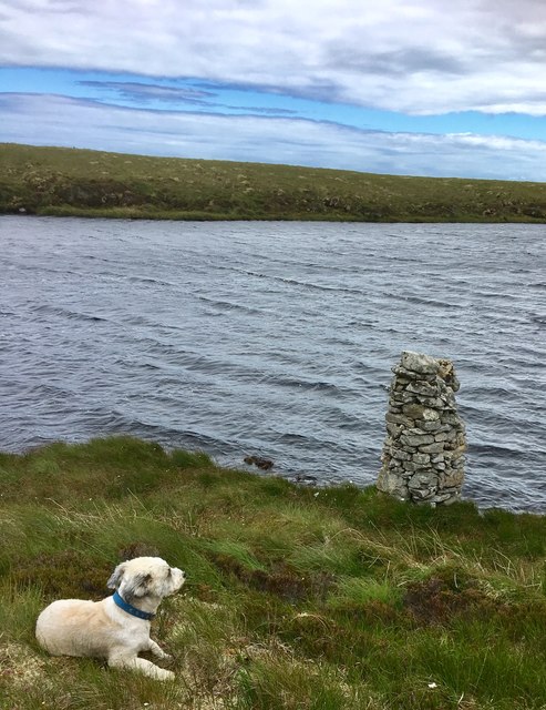
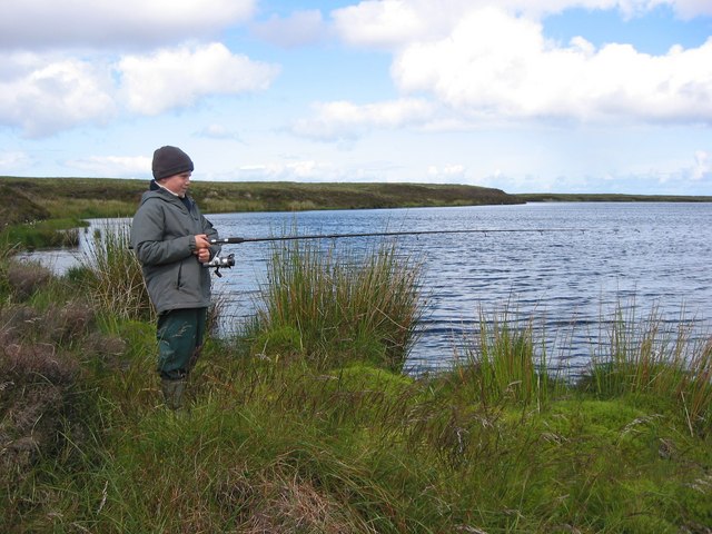
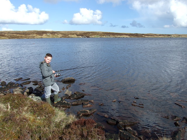
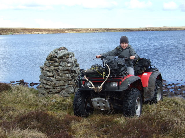
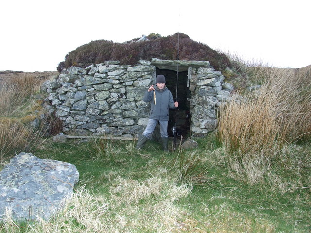
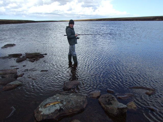
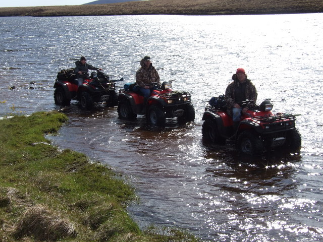
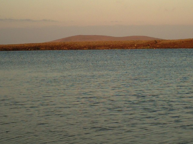
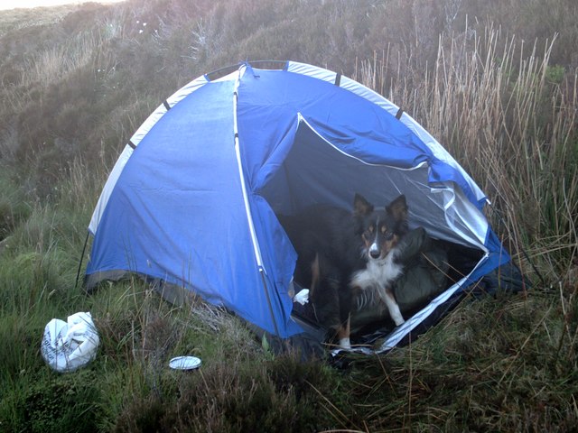
Gearraidh Bhataleòis is a small settlement located in Ross-shire, Scotland. Situated in the Highlands, it is surrounded by downs and moorland, offering stunning views of the rugged landscape. The area is known for its vast open spaces, rolling hills, and heather-covered moors.

The climate in Gearraidh Bhataleòis is typically cool and damp, with frequent rainfall and misty conditions. The terrain is characterized by rocky outcrops, peat bogs, and patches of dense woodland. The area is home to a variety of wildlife, including red deer, birds of prey, and small mammals.

The residents of Gearraidh Bhataleòis are mostly farmers and crofters, who make a living from the land by raising livestock and growing crops. The community is close-knit and traditional, with a strong connection to the land and a respect for the natural environment.

Overall, Gearraidh Bhataleòis is a peaceful and picturesque place, offering a quiet retreat for those looking to escape the hustle and bustle of modern life and immerse themselves in the beauty of the Scottish Highlands.

If you have any feedback on the listing, please let us know in the comments section below.

Gearraidh Bhataleòis Images

Images are sourced within 2km of 58.40289/-6.2518958 or Grid Reference NB5153. Thanks to Geograph Open Source API. All images are credited.

Dry lochan, Tom Gill, Isle of Lewis
Peat islands, Loch Langabhat, Isle of Lewis The current OS map (as viewed on OS Maps 8/7/16) shows one large island.  Google Earth imagery dated 2009 shows the left and middle island still joined together.
Peat islands, Loch Langabhat, Isle of Lewis
The current OS map (as viewed on OS Maps 8/7/16) shows one large island. Google Earth imagery dated 2009 shows the left and middle island still joined together.
Lochan, Druim Loch an Fheòir, Isle of Lewis The high ground ahead is Beinn Dail and Beinn nan Caorach.
Lochan, Druim Loch an Fheòir, Isle of Lewis
The high ground ahead is Beinn Dail and Beinn nan Caorach.
Burn at Da Loch Fhuaimeabhat This is the burn that flows into the most westerly of the two lochs.
Burn at Da Loch Fhuaimeabhat
This is the burn that flows into the most westerly of the two lochs.
Loch Glutach Cairn This Lochside cairn is not particularly conspicuous when approaching the Loch.
Interestingly although it is clearly old, it does not feature on the ordnance survey map.
Loch Glutach Cairn
This Lochside cairn is not particularly conspicuous when approaching the Loch. Interestingly although it is clearly old, it does not feature on the ordnance survey map.
Trout fishing on the Lochan Meadhonach
Trout fishing on Lochan Vataleois Daniel MacDonald trout fishing on Lochan Vataleois.
Trout fishing on Lochan Vataleois
Daniel MacDonald trout fishing on Lochan Vataleois.
Cairn at Lochan Vataleois Daniel MacDonald on the quad beside the cairn at Lochan Vataleois.
Cairn at Lochan Vataleois
Daniel MacDonald on the quad beside the cairn at Lochan Vataleois.
Shieling at Lochan Vataleois Daniel standing outside a shieling or 'airigh' at Lochan Vataleois, these shielings were used as summer living quarters while cattle were on the moor for summer grazing.
Shieling at Lochan Vataleois
Daniel standing outside a shieling or 'airigh' at Lochan Vataleois, these shielings were used as summer living quarters while cattle were on the moor for summer grazing.
Trout fishing Daniel MacDonald trout fishing on Loch Bataleois, with a fine trout weighing three quarter of a pound.
Trout fishing
Daniel MacDonald trout fishing on Loch Bataleois, with a fine trout weighing three quarter of a pound.
Quads in Loch Eileabhat The moor is just too soft and rough to pass at this point, the easy way is in the shore of Loch Beag Eileabhat.
Quads in Loch Eileabhat
The moor is just too soft and rough to pass at this point, the easy way is in the shore of Loch Beag Eileabhat.
Muirneag 4 30 AM morning sun on Muirneag from Loch Mor Nan Eileavat
Muirneag
4 30 AM morning sun on Muirneag from Loch Mor Nan Eileavat
My dog Trixie Our camp site on the banks of Loch Mor Nan Eileavat
My dog Trixie
Our camp site on the banks of Loch Mor Nan Eileavat
Show me another place!

Gearraidh Bhataleòis is located at Grid Ref: NB5153 (Lat: 58.40289, Lng: -6.2518958)

Unitary Authority: Na h-Eileanan an Iar

Police Authority: Highlands and Islands

What 3 Words

///hardening.surcharge.backyards. Near North Tolsta, Na h-Eileanan Siar

Related Wikis

New Tolsta

New Tolsta (Scottish Gaelic: Baile Ùr Tholastaidh) is a village on the Isle of Lewis in the Outer Hebrides, Scotland. New Tolsta is within the parish of...

North Tolsta

North Tolsta (Scottish Gaelic: Tolastadh bho Thuath) is a village in the Scottish Outer Hebrides, on the east side of the Isle of Lewis. North Tolsta is...

Ness, Lewis

Ness (Scottish Gaelic: Nis) is the northernmost part of the Isle of Lewis, a community consisting of about 16 villages, including Lionel, Habost, Swainbost...

Cross, Lewis

Cross (Scottish Gaelic: Cros) is a township on the Isle of Lewis in the community of Ness, in the Outer Hebrides, Scotland. Cross is within the parish...

Have you been to Gearraidh Bhataleòis?

Leave your review of Gearraidh Bhataleòis below (or comments, questions and feedback).