Steeple Woods

Wood, Forest in Cornwall

England

Steeple Woods

St Ives Harbour
St Ives Harbour Credit: David Robinson

Steeple Woods is a picturesque forest located in Cornwall, England. Covering an area of approximately 100 acres, this wooded area is characterized by its dense canopy of trees, including oak, beech, and chestnut. The forest is home to a variety of wildlife, including deer, badgers, and a wide array of bird species.

Traversing through Steeple Woods, visitors will find a network of well-maintained hiking trails that wind through the trees, providing opportunities for both leisurely strolls and more challenging hikes. The forest is also popular among mountain bikers, with designated trails for those looking to explore on two wheels.

Steeple Woods is a peaceful and tranquil retreat for those looking to escape the hustle and bustle of city life. The forest offers plenty of opportunities for outdoor recreation, including picnicking, birdwatching, and nature photography. With its diverse flora and fauna, Steeple Woods is a haven for nature enthusiasts and outdoor adventurers alike.

If you have any feedback on the listing, please let us know in the comments section below.

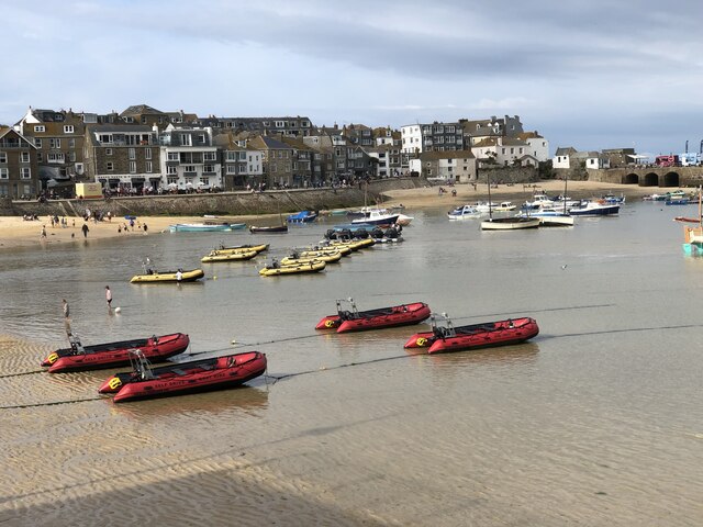
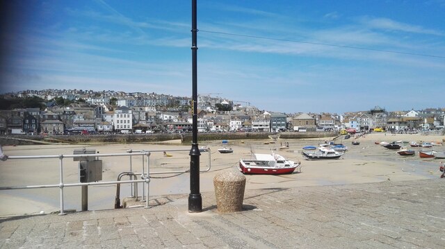
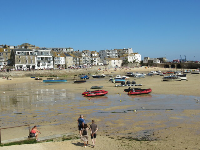
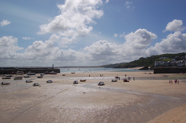
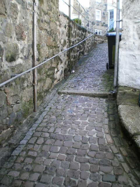
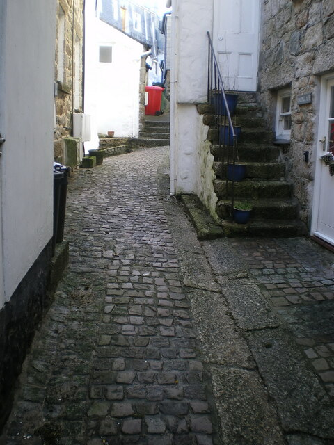
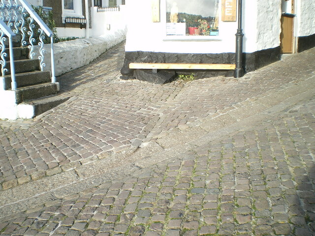
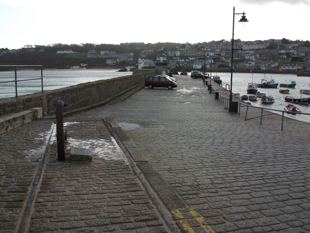
Steeple Woods Images

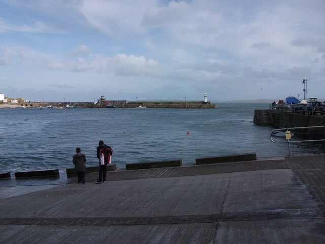
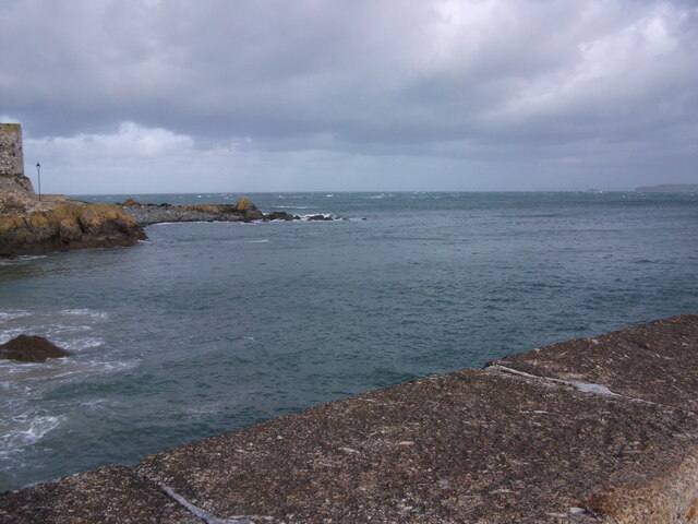
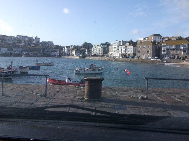
Images are sourced within 2km of 50.197998/-5.4823084 or Grid Reference SW5138. Thanks to Geograph Open Source API. All images are credited.

St Ives Harbour
St Ives Harbour
St. Ives Harbour A view over St. Ives Harbour, taken looking south from Smeaton's Pier.
St. Ives Harbour
A view over St. Ives Harbour, taken looking south from Smeaton's Pier.
St Ives harbour
St Ives harbour
St Ives beach at low tide Many small boats stranded by the receding tide in St Ives Harbour.
St Ives beach at low tide
Many small boats stranded by the receding tide in St Ives Harbour.
St Ives harbour from the Harbour Fish & Chips Restaurant
Fish & Chip lunches, Harbour Fish & Chips Restaurant, St Ives
Low tide reflections, St Ives harbour
Christmas tree at St Ives harbour
Smeaton's Pier, St Ives
Harbour Sand beach at St Ives
Cobbles and granite steps on Bethesda Hill One of several similar narrow streets in the older part of St Ives, still surfaced in the 17th/18th century granite cobblestones and steps. This one was Grade II listed <span class="nowrap"><a title="https://britishlistedbuildings.co.uk/101312641-the-street-surface-and-granite-steps-st-ives#.Yc9NbmjP3IU" rel="nofollow ugc noopener" href="https://britishlistedbuildings.co.uk/101312641-the-street-surface-and-granite-steps-st-ives#.Yc9NbmjP3IU">Link</a><img style="margin-left:2px;" alt="External link" title="External link - shift click to open in new window" src="https://s1.geograph.org.uk/img/external.png" width="10" height="10"/></span> & <span class="nowrap"><a title="https://historicengland.org.uk/listing/the-list/list-entry/1312641" rel="nofollow ugc noopener" href="https://historicengland.org.uk/listing/the-list/list-entry/1312641">Link</a><img style="margin-left:2px;" alt="External link" title="External link - shift click to open in new window" src="https://s1.geograph.org.uk/img/external.png" width="10" height="10"/></span> in 1972.
Cobbles and granite steps on Bethesda Hill
One of several similar narrow streets in the older part of St Ives, still surfaced in the 17th/18th century granite cobblestones and steps. This one was Grade II listed LinkExternal link & LinkExternal link in 1972.
Cobbled street surface on Carnglaze Place One of several parts of Carnglaze Place where the original 17th/18th century granite cobblestones are still in situ; the whole area was Grade II listed for this reason <span class="nowrap"><a title="https://britishlistedbuildings.co.uk/101327771-the-street-surface-st-ives#.Yc-P7GjP3IU" rel="nofollow ugc noopener" href="https://britishlistedbuildings.co.uk/101327771-the-street-surface-st-ives#.Yc-P7GjP3IU">Link</a><img style="margin-left:2px;" alt="External link" title="External link - shift click to open in new window" src="https://s1.geograph.org.uk/img/external.png" width="10" height="10"/></span> & <span class="nowrap"><a title="https://historicengland.org.uk/listing/the-list/list-entry/1327771" rel="nofollow ugc noopener" href="https://historicengland.org.uk/listing/the-list/list-entry/1327771">Link</a><img style="margin-left:2px;" alt="External link" title="External link - shift click to open in new window" src="https://s1.geograph.org.uk/img/external.png" width="10" height="10"/></span> in 1972.
Cobbled street surface on Carnglaze Place
One of several parts of Carnglaze Place where the original 17th/18th century granite cobblestones are still in situ; the whole area was Grade II listed for this reason LinkExternal link & LinkExternal link in 1972.
Cobbled street surface on Mount Zion One of several similar ground surfaces in the older part of St Ives town, where the original 17th or 18th century granite cobbles and some steps remain in place. For this reason, the area of Mount Zion was Grade II listed <span class="nowrap"><a title="https://britishlistedbuildings.co.uk/101143324-the-street-surface-and-granite-steps-st-ives#.YdBf7GjP3IU" rel="nofollow ugc noopener" href="https://britishlistedbuildings.co.uk/101143324-the-street-surface-and-granite-steps-st-ives#.YdBf7GjP3IU">Link</a><img style="margin-left:2px;" alt="External link" title="External link - shift click to open in new window" src="https://s1.geograph.org.uk/img/external.png" width="10" height="10"/></span> & <span class="nowrap"><a title="https://historicengland.org.uk/listing/the-list/list-entry/1143324" rel="nofollow ugc noopener" href="https://historicengland.org.uk/listing/the-list/list-entry/1143324">Link</a><img style="margin-left:2px;" alt="External link" title="External link - shift click to open in new window" src="https://s1.geograph.org.uk/img/external.png" width="10" height="10"/></span> in 1972.
Cobbled street surface on Mount Zion
One of several similar ground surfaces in the older part of St Ives town, where the original 17th or 18th century granite cobbles and some steps remain in place. For this reason, the area of Mount Zion was Grade II listed LinkExternal link & LinkExternal link in 1972.
Smeatons Pier Smeatons Pier in St. Ives, photographed from beside the Harbour Master's Office.
Smeatons Pier
Smeatons Pier in St. Ives, photographed from beside the Harbour Master's Office.
Slipway by RNLI Station in St. Ives The slipway by the lifeboat station in St. Ives, looking over the harbour to Smeatons Pier.
Slipway by RNLI Station in St. Ives
The slipway by the lifeboat station in St. Ives, looking over the harbour to Smeatons Pier.
View from Smeatons Pier, St. Ives A view out to sea from Smeatons Pier in St. Ives.  Godrevy Island is visible in the far distance.
View from Smeatons Pier, St. Ives
A view out to sea from Smeatons Pier in St. Ives. Godrevy Island is visible in the far distance.
View over St. Ives Harbour A view of St. Ives Harbour, looking back from Smeatons Pier.
View over St. Ives Harbour
A view of St. Ives Harbour, looking back from Smeatons Pier.
The Rum & Crab bar, The Wharf Originally built in the early 19th century, and presumably used in connection with the fishing trade or as a wharfside store, this unusual-looking building was known as the Copper Kettle (cafe?) and Wimpy Bar by the time it was Grade II listed <span class="nowrap"><a title="https://britishlistedbuildings.co.uk/101327835-the-copper-kettle-and-wimpey-bar-st-ives#.Ydi9vP7P3IU" rel="nofollow ugc noopener" href="https://britishlistedbuildings.co.uk/101327835-the-copper-kettle-and-wimpey-bar-st-ives#.Ydi9vP7P3IU">Link</a><img style="margin-left:2px;" alt="External link" title="External link - shift click to open in new window" src="https://s1.geograph.org.uk/img/external.png" width="10" height="10"/></span> & <span class="nowrap"><a title="https://historicengland.org.uk/listing/the-list/list-entry/1327835" rel="nofollow ugc noopener" href="https://historicengland.org.uk/listing/the-list/list-entry/1327835">Link</a><img style="margin-left:2px;" alt="External link" title="External link - shift click to open in new window" src="https://s1.geograph.org.uk/img/external.png" width="10" height="10"/></span> in 1972.
The Rum & Crab bar, The Wharf
Originally built in the early 19th century, and presumably used in connection with the fishing trade or as a wharfside store, this unusual-looking building was known as the Copper Kettle (cafe?) and Wimpy Bar by the time it was Grade II listed LinkExternal link & LinkExternal link in 1972.
Show me another place!

Steeple Woods is located at Grid Ref: SW5138 (Lat: 50.197998, Lng: -5.4823084)

Unitary Authority: Cornwall

Police Authority: Devon and Cornwall

What 3 Words

///being.starlight.issue. Near St Ives, Cornwall

Related Wikis

St Ives School (academy)

St Ives School is a coeducational secondary school with academy status, located in St Ives, Cornwall, England. == Barbara Hepworth == Notable sculptor...

Tregenna Castle

Tregenna Castle, (Cornish: Kastel Tregenow, meaning "Kenow’s settlement") in St Ives, Cornwall, was built by Samuel Stephens in the 18th century and is...
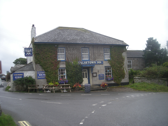
Halsetown

Halsetown is a village near St Ives, Cornwall, England.Halsetown is an industrial village planned by the solicitor and politician James Halse and built...

Carbis Bay Hotel

Carbis Bay Hotel is a hotel in Carbis Bay near St Ives, Cornwall. It is the most prominent building in Carbis Bay, overlooking the beach. == History... ==

Nearby Amenities

Located within 500m of 50.197998,-5.4823084
Hiking: yes
Information: guidepost
Source: GPS survey
Tourism: information
Lat/Long: 50.1992922/-5.4886955
Hiking: yes
Information: guidepost
Source: GPS survey
Tourism: information
Lat/Long: 50.1980379/-5.4869293
Hiking: yes
Information: guidepost
Source: GPS survey
Tourism: information
Lat/Long: 50.1958771/-5.4816225
Hiking: yes
Information: guidepost
Source: GPS survey
Tourism: information
Lat/Long: 50.1961724/-5.4822394
Power: pole
Lat/Long: 50.1977177/-5.4855734
Power: pole
Lat/Long: 50.1985436/-5.4852301
Power: pole
Lat/Long: 50.1969485/-5.4859033
Power: pole
Lat/Long: 50.1962737/-5.4868099
Generator Method: photovoltaic
Generator Output Electricity: small_installation
Generator Source: solar
Generator Type: solar_photovoltaic_panel
Location: roof
Power: generator
Source: bing
Lat/Long: 50.1980886/-5.4758357
Power: pole
Lat/Long: 50.2023224/-5.4830253
Power: pole
Lat/Long: 50.2017491/-5.4839453
Power: pole
Lat/Long: 50.2011018/-5.4841277
Power: pole
Lat/Long: 50.2001215/-5.4845408
Power: pole
Lat/Long: 50.1993677/-5.4848814
Power: pole
Lat/Long: 50.201725/-5.485383
Power: pole
Lat/Long: 50.2007516/-5.486826
Power: pole
Lat/Long: 50.1999738/-5.4879767
Man Made: communications_tower
Operator: Vodafone
Lat/Long: 50.1974576/-5.4830374
Power: pole
Transformer: distribution
Lat/Long: 50.1956899/-5.4876052
Location Transition: yes
Power: pole
Lat/Long: 50.2000734/-5.4783663
Location Transition: yes
Power: pole
Lat/Long: 50.2001987/-5.4799756
Power: pole
Lat/Long: 50.1998244/-5.479002
Power: pole
Transformer: distribution
Lat/Long: 50.1995789/-5.4782523
Power: pole
Lat/Long: 50.1994244/-5.4779077
Power: pole
Lat/Long: 50.19896/-5.4774396
Power: pole
Lat/Long: 50.1984955/-5.4769783
Location Transition: yes
Power: pole
Lat/Long: 50.1980792/-5.4765263
St Ives Gs School
Power: substation
Voltage: 11000
Lat/Long: 50.2015237/-5.4794144
Barrier: stile
Stile: stepover
Lat/Long: 50.1969376/-5.481325
Barrier: stile
Stile: stepover
Lat/Long: 50.1980461/-5.482308
Hiking: yes
Information: guidepost
Tourism: information
Lat/Long: 50.1969393/-5.4813379
Information: board
Tourism: information
Lat/Long: 50.196894/-5.481565
The data included in this document is from www.openstreetmap.org. The data is made available under ODbL.

Have you been to Steeple Woods?

Leave your review of Steeple Woods below (or comments, questions and feedback).