Stennacks Plantation

Wood, Forest in Cornwall

England

Stennacks Plantation

Restless Temple sculpture at Tremenheere Sculpture Gardens
Restless Temple sculpture at Tremenheere Sculpture Gardens Credit: Tom Page

Stennacks Plantation is a picturesque wooded area located in Cornwall, England. Covering approximately 20 acres, the plantation is characterized by a diverse range of tree species including oak, beech, and chestnut. The dense foliage provides a habitat for a variety of wildlife, including birds, squirrels, and deer.

The plantation is crisscrossed by a network of well-maintained walking trails, making it a popular destination for hikers and nature enthusiasts. Visitors can enjoy peaceful strolls through the lush forest, taking in the sights and sounds of the natural surroundings.

In addition to its recreational opportunities, Stennacks Plantation also serves as an important ecological resource. The trees help to purify the air, provide habitat for wildlife, and contribute to the overall health of the ecosystem.

Overall, Stennacks Plantation offers a tranquil escape from the hustle and bustle of everyday life, allowing visitors to connect with nature and appreciate the beauty of the natural world.

If you have any feedback on the listing, please let us know in the comments section below.

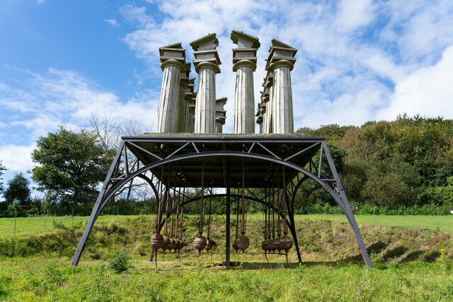
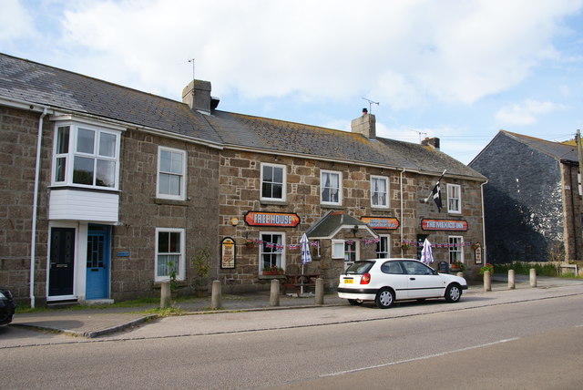
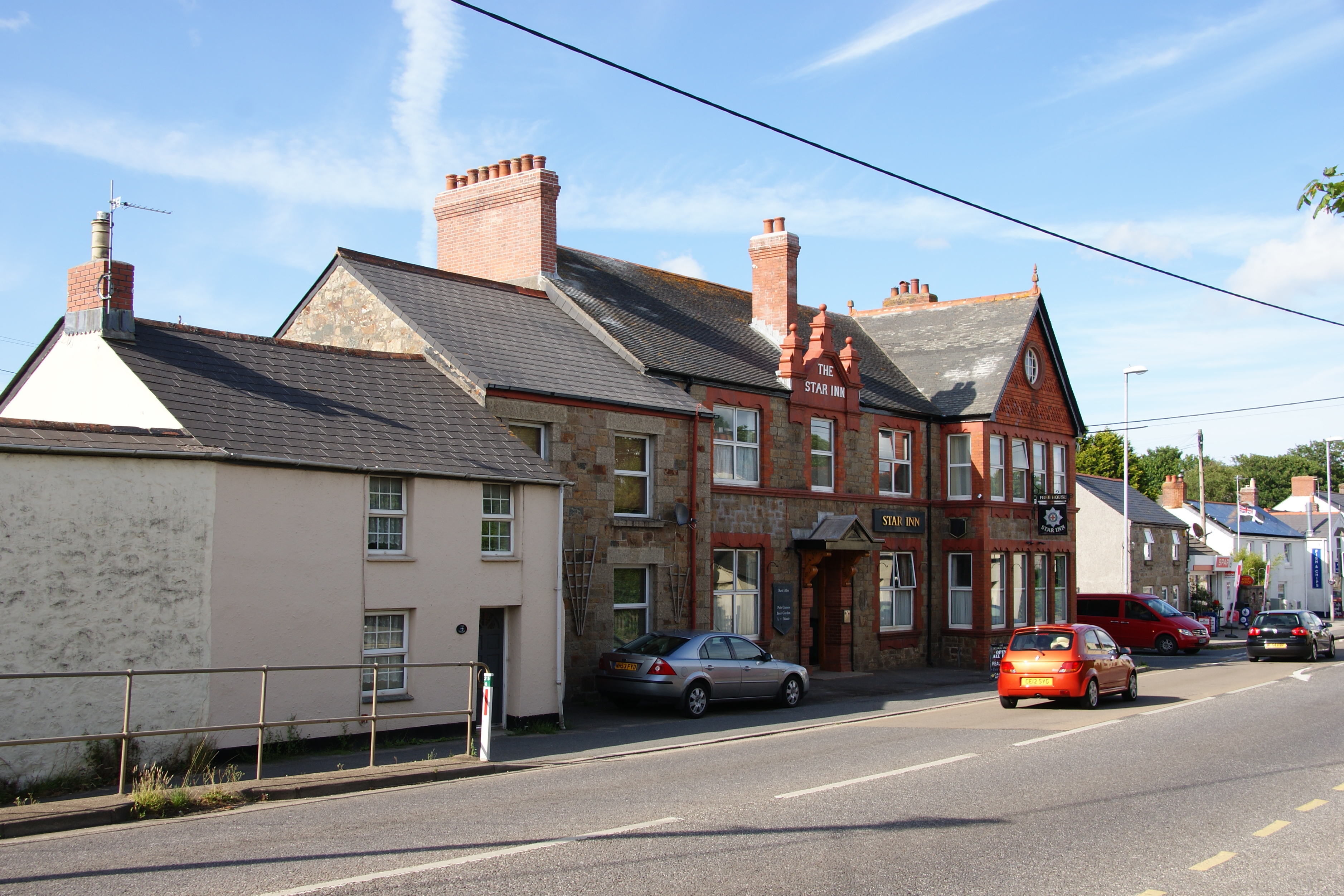
Stennacks Plantation Images

Images are sourced within 2km of 50.13578/-5.4825576 or Grid Reference SW5131. Thanks to Geograph Open Source API. All images are credited.

Restless Temple sculpture at Tremenheere Sculpture Gardens
Ludgvan : Longrock - A30 Heading along the A30.
Ludgvan : Longrock - A30
Heading along the A30.
Field at turning for Tremenheere Sculpture Gardens
Modern waymarker on coast path Part of the southwest coast path between Penzance and Marazion. Sail-shaped wooden sign on the South of the path, parish of Marazion (Penwith district). Erected by the county council in the 21st century.

Inscription reads:-
Mount’s Bay Coast Path
Marazion 1.4 miles
Penzance 1.6 miles

Milestone Society National ID: CW_XCP4931
Modern waymarker on coast path
Part of the southwest coast path between Penzance and Marazion. Sail-shaped wooden sign on the South of the path, parish of Marazion (Penwith district). Erected by the county council in the 21st century. Inscription reads:- Mount’s Bay Coast Path Marazion 1.4 miles Penzance 1.6 miles Milestone Society National ID: CW_XCP4931
Long Rock near Penzance
Longrock : Looking towards Penzance A rock in the sea is where this photo has been located. Penzance is in the distance.
Longrock : Looking towards Penzance
A rock in the sea is where this photo has been located. Penzance is in the distance.
Penwith : The A30 The A30 heads towards Penzance and down to Land's End in Cornwall.
Penwith : The A30
The A30 heads towards Penzance and down to Land's End in Cornwall.
Long Rock railway depot
Coastal Path, Cornwall Marazion to the left, Penzance to the right. St.Michael's Mount also to the left.
Coastal Path, Cornwall
Marazion to the left, Penzance to the right. St.Michael's Mount also to the left.
Shades of Blue Seen at Longrock, near Penzance.
Shades of Blue
Seen at Longrock, near Penzance.
View Towards St.Michael's Mount Seen from the coastal path.
View Towards St.Michael's Mount
Seen from the coastal path.
Long Rock Train Depot, Cornwall Located just outside Penzance, and seen from the coastal path.
Long Rock Train Depot, Cornwall
Located just outside Penzance, and seen from the coastal path.
Tremenheere Gardens Looking down the valley to St Michael's Mount.
Tremenheere Gardens
Looking down the valley to St Michael's Mount.
A disc of clear blue sky seen from James Turrell's 'Elliptic Ecliptic' at Tremenheere Gardens 'Elliptic Ecliptic' is an art installation which was created specifically for the total eclipse seen in Cornwall on 11 August 1999. It is an underground pure white chamber with an elliptical hole in the roof affording a view of the sky <span class="nowrap"><a title="http://en.wikipedia.org/wiki/James_Turrell" rel="nofollow ugc noopener" href="http://en.wikipedia.org/wiki/James_Turrell">Link</a><img style="margin-left:2px;" alt="External link" title="External link - shift click to open in new window" src="https://s1.geograph.org.uk/img/external.png" width="10" height="10"/></span>.
A disc of clear blue sky seen from James Turrell's 'Elliptic Ecliptic' at Tremenheere Gardens
'Elliptic Ecliptic' is an art installation which was created specifically for the total eclipse seen in Cornwall on 11 August 1999. It is an underground pure white chamber with an elliptical hole in the roof affording a view of the sky LinkExternal link.
Californian poppies at Tremenheere Gardens
Mounts Bay near Long Rock Long Rock can be seen a little out to sea, with St Michael's Mount far left. I was waiting for the tide to go out so that I could get into the next square, but it wasn't moving fast enough.
Mounts Bay near Long Rock
Long Rock can be seen a little out to sea, with St Michael's Mount far left. I was waiting for the tide to go out so that I could get into the next square, but it wasn't moving fast enough.
Longrock Beach Long Rock after which the locality is named can be seen out to sea, with St Michael's Mount far left.
Longrock Beach
Long Rock after which the locality is named can be seen out to sea, with St Michael's Mount far left.
The Mexico Inn, Longrock The central village pub.
The Mexico Inn, Longrock
The central village pub.
Show me another place!

Stennacks Plantation is located at Grid Ref: SW5131 (Lat: 50.13578, Lng: -5.4825576)

Unitary Authority: Cornwall

Police Authority: Devon and Cornwall

What 3 Words

///unloaded.listings.fantastic. Near Marazion, Cornwall

Related Wikis

Varfell

Varfell is a hamlet within the parish of Ludgvan, Cornwall, UK. Varfell Farm is the world's largest producers of daffodil bulbs. == History == In 1882...

Red River (Amal)

The Red River (Cornish: Dowr Amal, meaning boundary river) which discharges into the sea to the west of Marazion is one of two watercourses in Cornwall...

Crowlas

Crowlas is a village in Cornwall, England, on the A30 about three miles east of Penzance. It forms a small conurbation with Ludgvan within the parish of...

Gwallon

Gwallon is a hamlet in the parish of Marazion, Cornwall, England. It is in the civil parish of St Hilary. == References ==

Nearby Amenities

Located within 500m of 50.13578,-5.4825576
Fixme: Not visible in imagery or on OS trig point data. Verify existence?
Man Made: survey_point
Lat/Long: 50.1378448/-5.4771187
Barrier: stile
Lat/Long: 50.1348521/-5.4827637
Railway: crossing
Lat/Long: 50.132568/-5.4817166
Barrier: stile
Lat/Long: 50.1391687/-5.4864468
Barrier: stile
Lat/Long: 50.1378719/-5.4853815
Barrier: stile
Lat/Long: 50.1372623/-5.4848807
Barrier: stile
Lat/Long: 50.1347532/-5.4826248
Barrier: stile
Lat/Long: 50.1326107/-5.4817529
Bench
Lat/Long: 50.1318551/-5.4814905
Barrier: stile
Lat/Long: 50.1325121/-5.481637
Bench
Lat/Long: 50.1319135/-5.4815603
Railway: crossing
Lat/Long: 50.1325449/-5.4816836
Power: pole
Transformer: distribution
Lat/Long: 50.1339921/-5.4831943
Power: pole
Lat/Long: 50.1337273/-5.4841277
Location Transition: yes
Power: pole
Lat/Long: 50.133552/-5.4843289
Power: pole
Lat/Long: 50.1336138/-5.4854232
Power: pole
Transformer: distribution
Lat/Long: 50.1332958/-5.4880866
Power: pole
Lat/Long: 50.132333/-5.4798871
Power: pole
Lat/Long: 50.132412/-5.4814991
Power: pole
Transformer: distribution
Lat/Long: 50.1392734/-5.4795036
The data included in this document is from www.openstreetmap.org. The data is made available under ODbL.

Have you been to Stennacks Plantation?

Leave your review of Stennacks Plantation below (or comments, questions and feedback).